Bower Hill
Hill, Mountain in Somerset Sedgemoor
England
Bower Hill
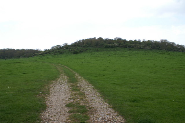
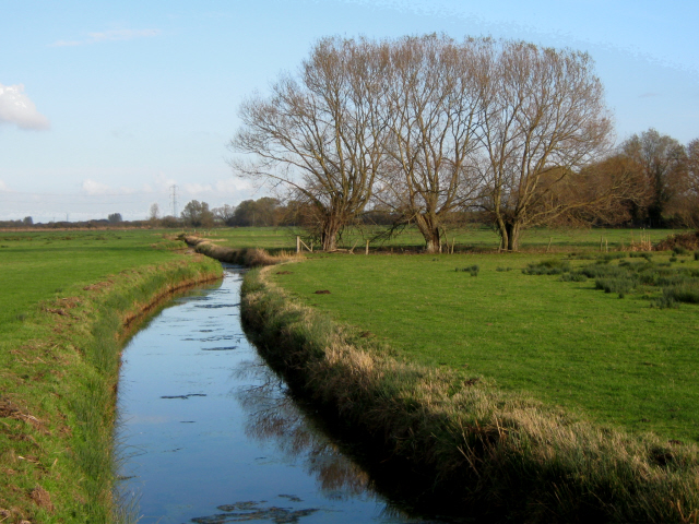
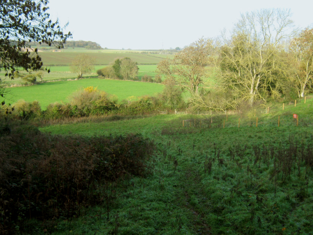
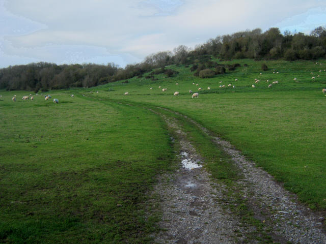
Bower Hill is a prominent hill located in Somerset, England. Standing at an elevation of approximately 250 meters (820 feet) above sea level, it is known for its breathtaking views of the surrounding countryside. Bower Hill is part of the Mendip Hills, a range of limestone hills that stretches across Somerset and neighboring counties.
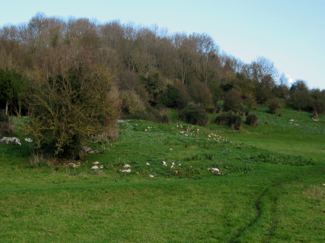
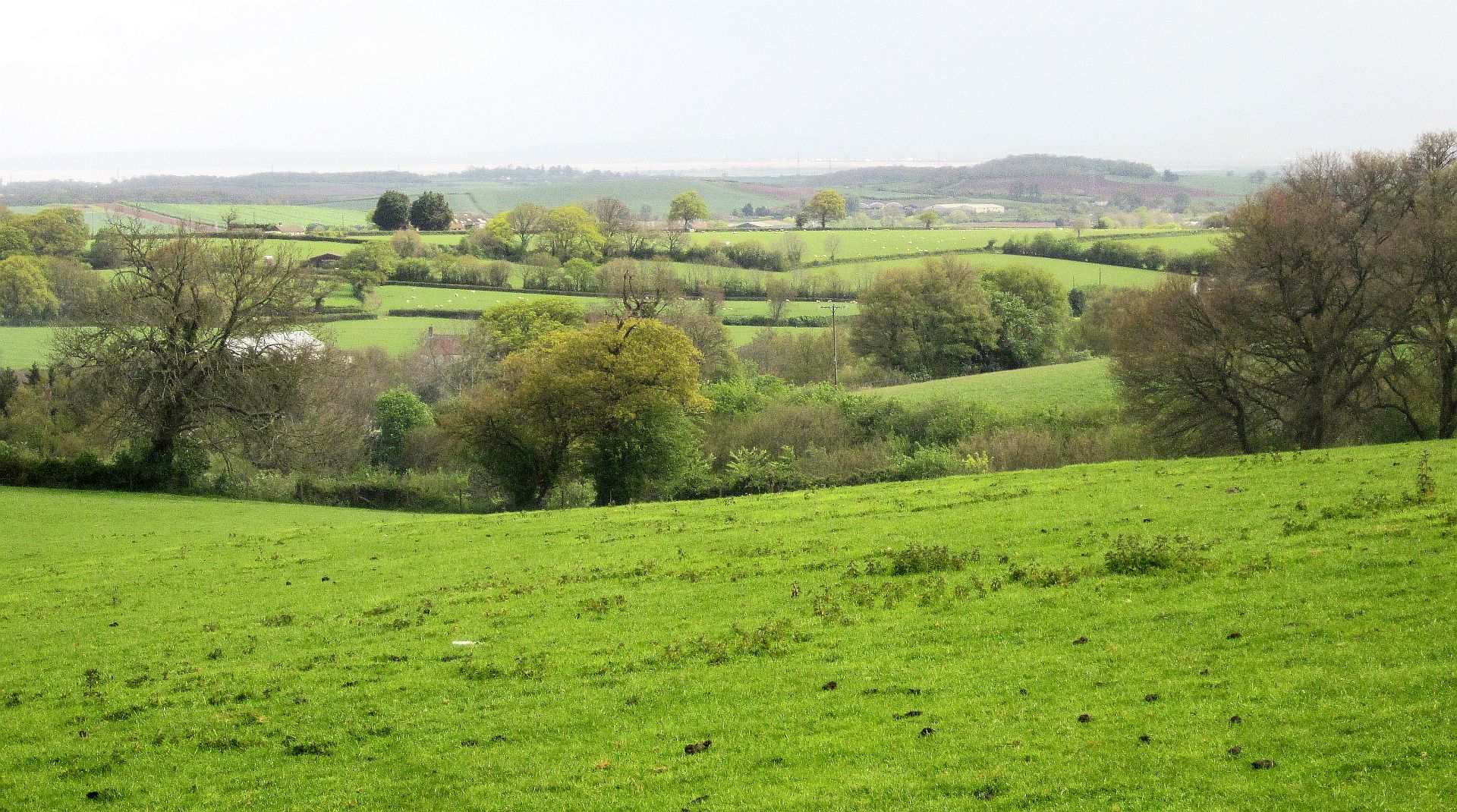
The hill is characterized by its gentle slopes and lush green vegetation, making it a popular spot for hiking enthusiasts and nature lovers. Its unique topography provides opportunities for outdoor activities such as walking, cycling, and wildlife observation. From the summit of Bower Hill, visitors can enjoy panoramic vistas of the Somerset Levels, Bristol Channel, and the distant hills of South Wales on clear days.
Bower Hill is also steeped in history, with evidence of human activity dating back thousands of years. Archaeological finds in the area have included Neolithic, Bronze Age, and Iron Age artifacts. The hill is also known for its ancient earthworks, including a series of defensive ditches and banks that once protected a hillfort. These features provide insight into the region's rich cultural heritage and have attracted historians and archaeologists.
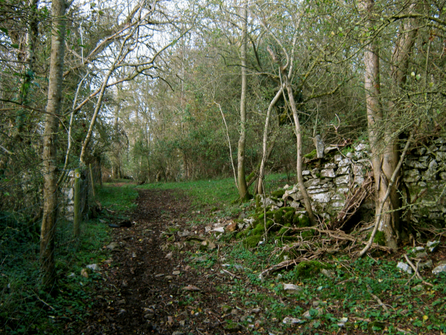
Access to Bower Hill is relatively easy, with a network of footpaths and trails leading to the summit. The hill is a popular destination for both locals and tourists seeking outdoor recreation and a chance to immerse themselves in the natural beauty and history of Somerset.
If you have any feedback on the listing, please let us know in the comments section below.
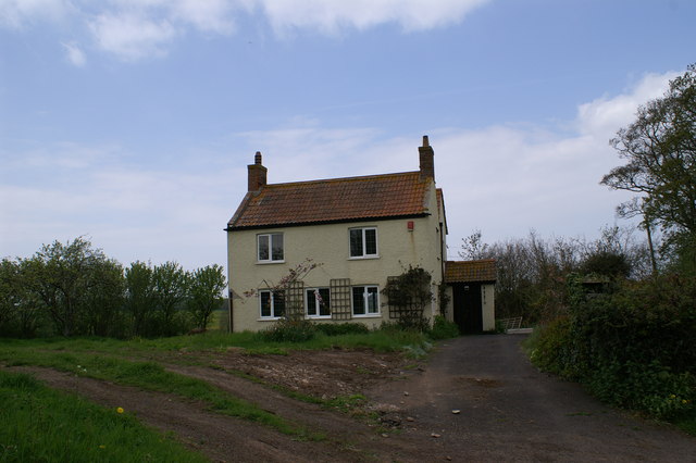
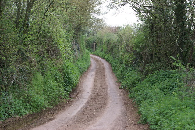
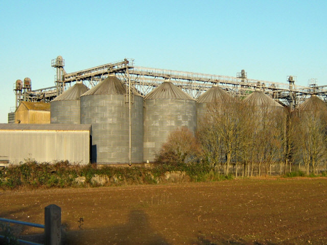
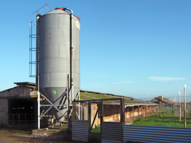
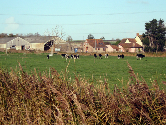
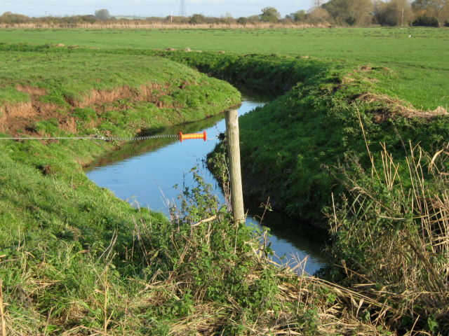
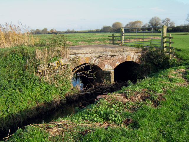
Bower Hill Images
Images are sourced within 2km of 51.151086/-3.0861544 or Grid Reference ST2439. Thanks to Geograph Open Source API. All images are credited.

Bower Hill is located at Grid Ref: ST2439 (Lat: 51.151086, Lng: -3.0861544)
Administrative County: Somerset
District: Sedgemoor
Police Authority: Avon and Somerset
What 3 Words
///cheetahs.freedom.takers. Near Nether Stowey, Somerset
Nearby Locations
Related Wikis
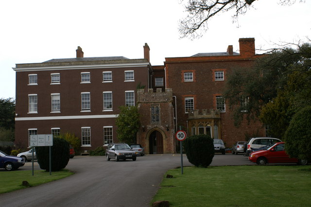
Brymore Academy
Brymore Academy (formerly Brymore School) is a boys' secondary school with academy status, located in Cannington, Bridgwater, Somerset, England. It is...

Cannington Camp
Cannington Camp is a Bronze Age and Iron Age hill fort near Cannington, Somerset, England. It is a Scheduled Ancient Monument.The small hill rises to 80...

Blackmoor Farmhouse, Cannington
Blackmoor Farmhouse at Cannington, Somerset, England and the attached chapel, was built around 1480 for Thomas Tremayll. It was designated as a Grade I...
Peart Water
Peart Water is a stream about 5 miles (8.0 km) long in Somerset, England. It rises in the Quantock Hills and flows in a generally northeast direction....

Cannington, Somerset
Cannington is a village and civil parish 3 miles (5 km) northwest of Bridgwater in Somerset, England. It lies on the west bank of the River Parret, and...
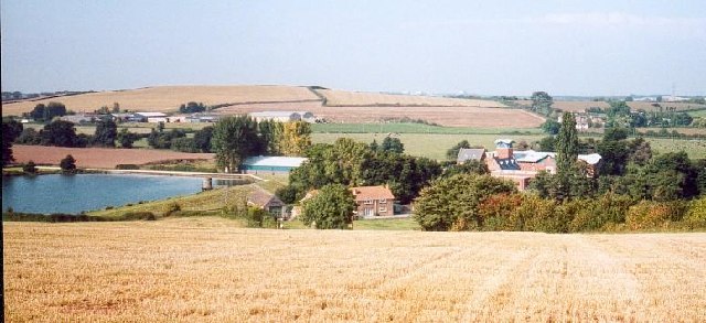
Ashford Reservoir
Ashford Reservoir is a small reservoir on the eastern side of the Quantock Hills near the villages of Charlynch and Spaxton in Somerset, England. It was...
Cannington Priory
Cannington Priory was a Benedictine nunnery established around 1138 and dissolved in 1536 in Cannington, Somerset, England. It was attached to the Church...
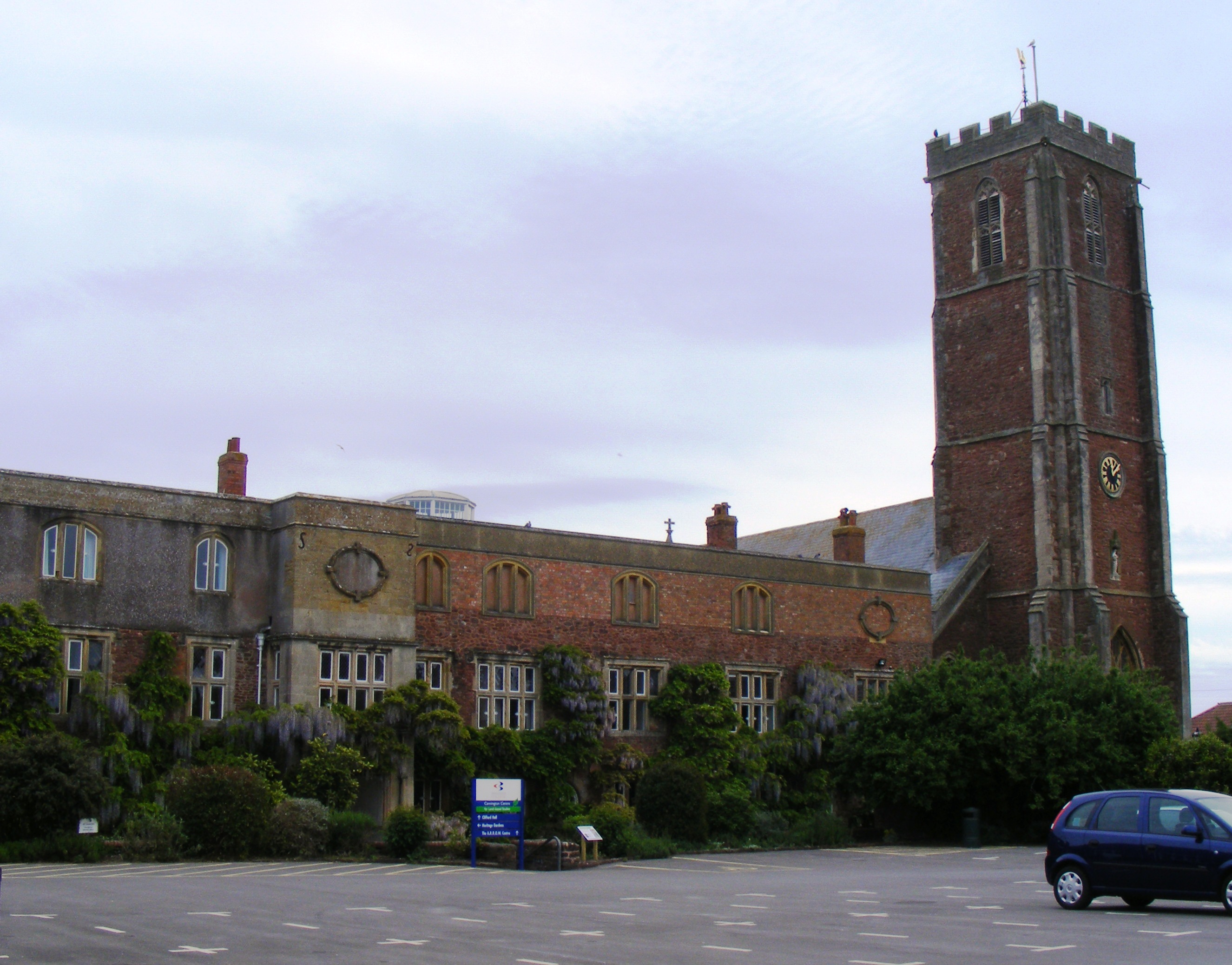
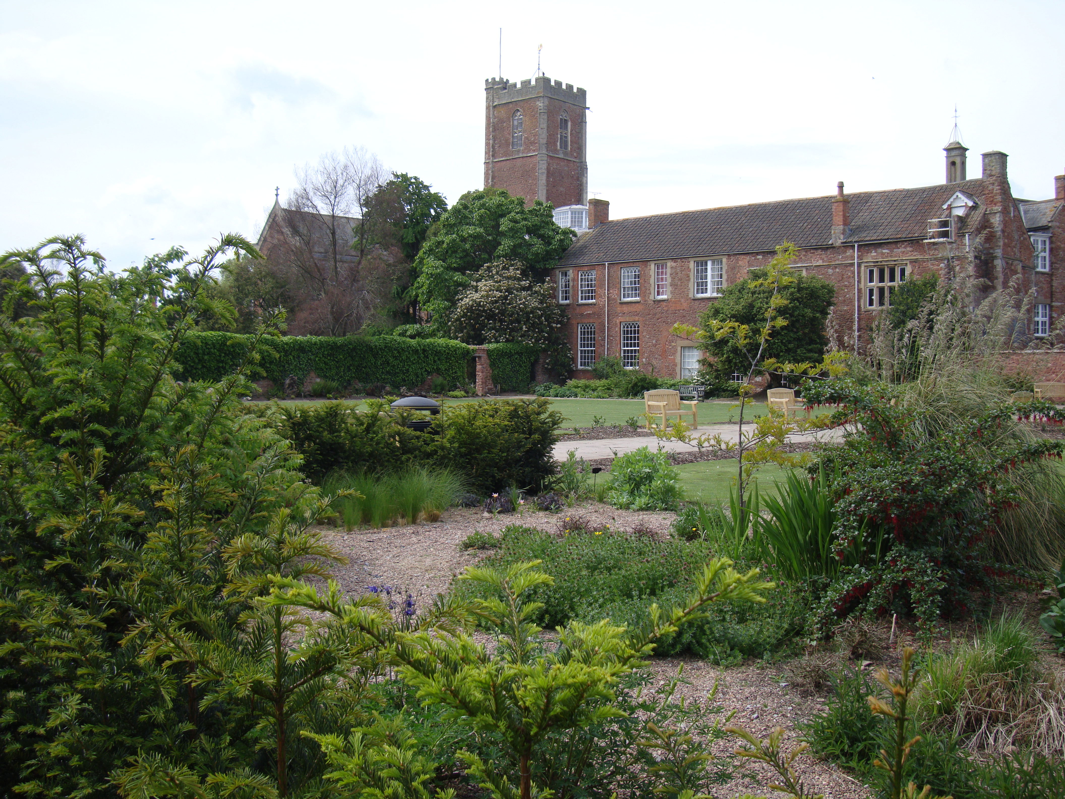
Cannington Court
Cannington Court in the village of Cannington, Somerset, England was built around 1138 as the lay wing of a Benedictine nunnery, founded by Robert de Courcy...
Nearby Amenities
Located within 500m of 51.151086,-3.0861544Have you been to Bower Hill?
Leave your review of Bower Hill below (or comments, questions and feedback).