Vestra Fiold

Hill, Mountain in Orkney

Scotland

Vestra Fiold

Vestra Fiold trig pillar
Vestra Fiold trig pillar Credit: John Ferguson

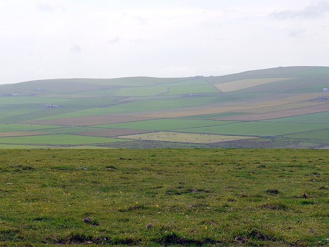
Vestra Fiold is a prominent hill located in the Orkney Islands, an archipelago off the northeastern coast of Scotland. Standing at an impressive height of 267 meters (876 feet), it is considered one of the highest points on the island of Mainland, which is the largest and most populous island in the Orkney group.

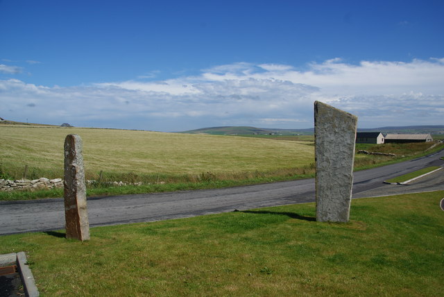
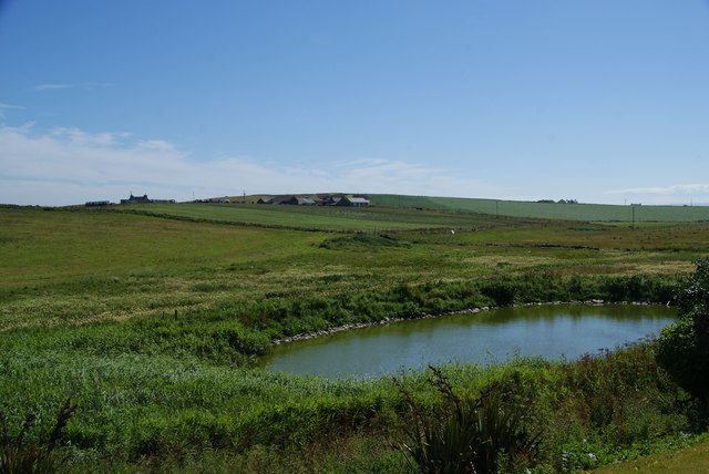
Situated approximately 3 kilometers (1.9 miles) southeast of the town of Stromness, Vestra Fiold offers breathtaking views of the surrounding landscape. Its location provides visitors with a unique vantage point, overlooking the rugged coastline, the expansive Atlantic Ocean, and the neighboring islands.

The hill is characterized by its distinctive shape, with a steep and rocky terrain that gradually ascends to its summit. Its slopes are covered in a variety of vegetation, including heather and grasses, which create a vibrant and colorful display during the summer months.

Vestra Fiold is a popular destination for outdoor enthusiasts and hikers, attracting both locals and tourists alike. Its relatively accessible location and well-marked trails make it an ideal spot for individuals of all ages and fitness levels to explore. The hill offers a challenging yet rewarding climb, allowing visitors to immerse themselves in the natural beauty of Orkney's landscape.

Overall, Vestra Fiold is a geological marvel and a stunning example of the unique and diverse scenery found in the Orkney Islands. Its impressive height, captivating views, and accessibility contribute to its status as a must-visit destination for nature lovers and adventure seekers.

If you have any feedback on the listing, please let us know in the comments section below.
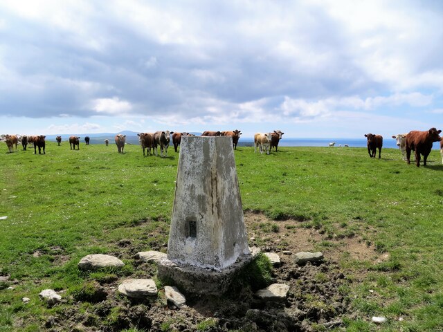
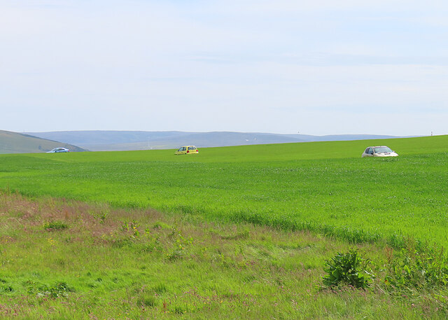
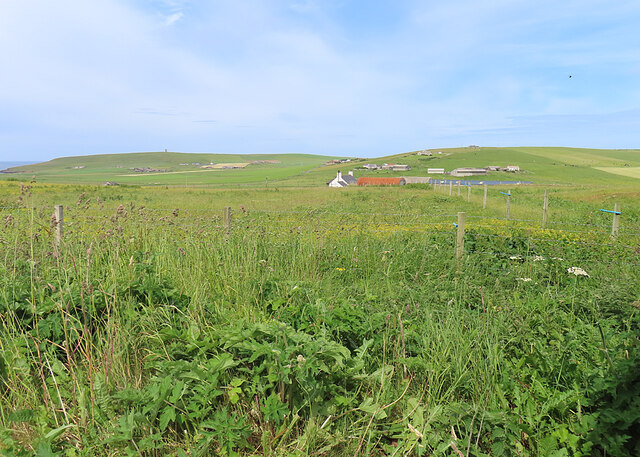
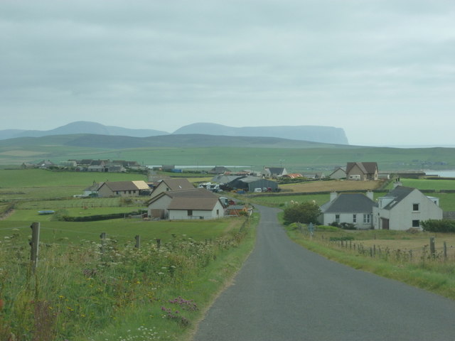
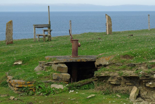
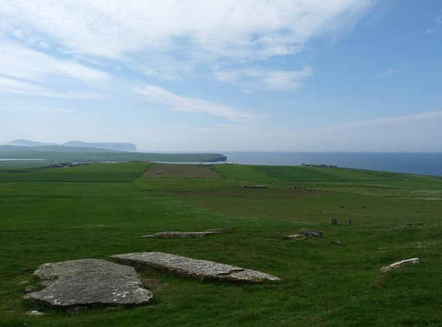
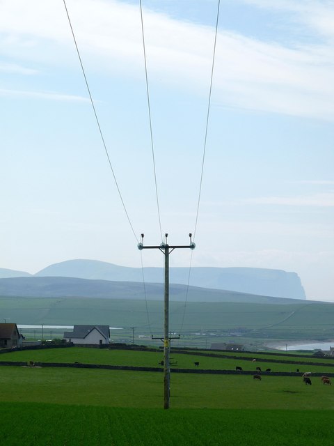
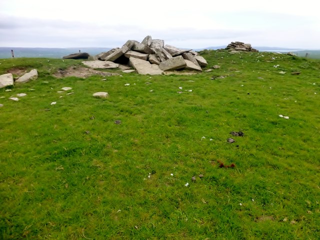
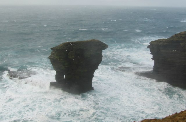
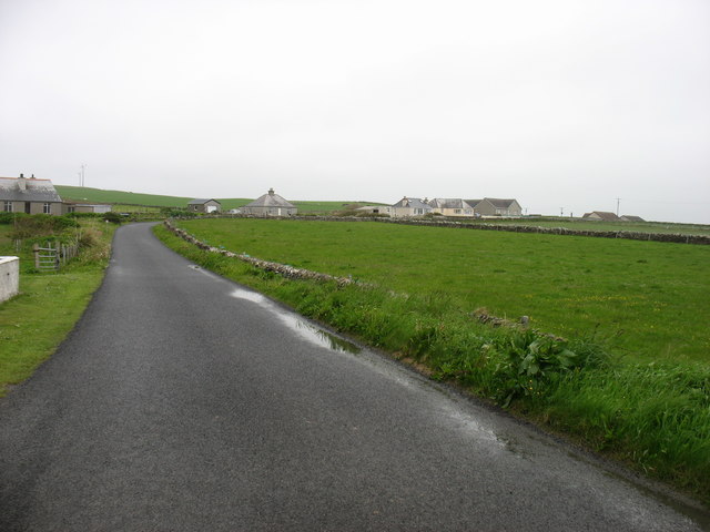
Vestra Fiold Images

Images are sourced within 2km of 59.079076/-3.3253496 or Grid Reference HY2422. Thanks to Geograph Open Source API. All images are credited.

Vestra Fiold trig pillar
Cars in the Fields We couldn't quite understand this, until it was explained to us that derelict cars make good shelters for bird scarers to protect the crops.
Cars in the Fields
We couldn't quite understand this, until it was explained to us that derelict cars make good shelters for bird scarers to protect the crops.
Brittain and Scorne Viewed from one of the many places called Holland or Houlland.
Brittain and Scorne
Viewed from one of the many places called Holland or Houlland.
Quoyloo: approaching from the north Looking along the B9056 as it heads down into Quoyloo, with the lofty island of Hoy looming large in the distance.
Quoyloo: approaching from the north
Looking along the B9056 as it heads down into Quoyloo, with the lofty island of Hoy looming large in the distance.
Marwick: postbox № KW17 60 A modern postbox stands alongside a small stone wall in which can be seen the opening where an older wall postbox was once positioned. Above the curved top of the opening, the date 1911 may just be discerned so one might assume the old box was of Edward VII's reign.

The box is emptied each day except Sunday at 12:30pm.
Marwick: postbox № KW17 60
A modern postbox stands alongside a small stone wall in which can be seen the opening where an older wall postbox was once positioned. Above the curved top of the opening, the date 1911 may just be discerned so one might assume the old box was of Edward VII's reign. The box is emptied each day except Sunday at 12:30pm.
Quoyloo: the shop/post office Like many village stores in the northern isles, Isbister Bros. Ltd. is not just a shop but also a petrol filling station and (weekday mornings) a post office. It is situated on the crossroads on the B9056.
Quoyloo: the shop/post office
Like many village stores in the northern isles, Isbister Bros. Ltd. is not just a shop but also a petrol filling station and (weekday mornings) a post office. It is situated on the crossroads on the B9056.
Quoyloo: postbox № KW16 18 This Elizabeth II-reign postbox is attached to the wall of <a href="https://www.geograph.org.uk/photo/2624174">HY2421 : Quoyloo: the shop/post office</a> and is emptied at 10:30 each weekday and Saturday morning.
Quoyloo: postbox № KW16 18
This Elizabeth II-reign postbox is attached to the wall of HY2421 : Quoyloo: the shop/post office and is emptied at 10:30 each weekday and Saturday morning.
Quoyloo: the church A simple, plain Victorian church on one of the back lanes.
Quoyloo: the church
A simple, plain Victorian church on one of the back lanes.
Orkney landscape from the Kitchener Memorial
Standing stones by the entrance to Orkney Brewery These are obviously reproductions of neolithic stones found elsewhere on Orkney.
Standing stones by the entrance to Orkney Brewery
These are obviously reproductions of neolithic stones found elsewhere on Orkney.
Pond by Orkney Brewery There is a view of typical Orkney farmland. The only thing missing is some beef cattle.
Pond by Orkney Brewery
There is a view of typical Orkney farmland. The only thing missing is some beef cattle.
Orkney Brewery One of two good breweries on Mainland. This one is I think better at marketing, but I have to admit I prefer the beers from the other.
Orkney Brewery
One of two good breweries on Mainland. This one is I think better at marketing, but I have to admit I prefer the beers from the other.
Well on farmland, Northdyke, Orkney The well is shown on the OS 1:25,000 map.

The stile is on the coastal footpath which runs the length of mainland Orkney's west coast.
Well on farmland, Northdyke, Orkney
The well is shown on the OS 1:25,000 map. The stile is on the coastal footpath which runs the length of mainland Orkney's west coast.
Quarried slabs below Vestra Fiold, Orkney From <span class="nowrap"><a title="http://canmore.rcahms.gov.uk/en/site/1923/details/vestrafiold" rel="nofollow ugc noopener" href="http://canmore.rcahms.gov.uk/en/site/1923/details/vestrafiold">Link</a><img style="margin-left:2px;" alt="External link" title="External link - shift click to open in new window" src="https://s1.geograph.org.uk/img/external.png" width="10" height="10"/></span> : "What is believed to be an ancient quarry from which slabs have been taken for circles and standing stones lies on the S slope of Vestra Fiold; a quarter of a mile N of the farm-house of Breck. Across the shoulder of the hill, in two groups, a large number of massive slabs are still to be seen. In the upper group typical slabs measure 4ft 6in by 3ft 6in and 5ft by 3ft, but in the lower group some are much bigger, three in particular measuring 14ft 9in by 5ft 3in by 6in thick; 18ft 6in by 5ft 6in; 16ft by 6ft. The last mentioned stone appears to have been roughly wedged up as if in readiness for removal."
Quarried slabs below Vestra Fiold, Orkney
From LinkExternal link : "What is believed to be an ancient quarry from which slabs have been taken for circles and standing stones lies on the S slope of Vestra Fiold; a quarter of a mile N of the farm-house of Breck. Across the shoulder of the hill, in two groups, a large number of massive slabs are still to be seen. In the upper group typical slabs measure 4ft 6in by 3ft 6in and 5ft by 3ft, but in the lower group some are much bigger, three in particular measuring 14ft 9in by 5ft 3in by 6in thick; 18ft 6in by 5ft 6in; 16ft by 6ft. The last mentioned stone appears to have been roughly wedged up as if in readiness for removal."
Power lines crossing farmland below Vestra Fiold, Orkney Looking towards Loch of Skaill on the left and Bay of Skaill on the right.  Beyond are the northern cliffs of Hoy.
Power lines crossing farmland below Vestra Fiold, Orkney
Looking towards Loch of Skaill on the left and Bay of Skaill on the right. Beyond are the northern cliffs of Hoy.
Vestra Fiold Thirteenth TuMP of the day with Jim Bloomer and Tricky Speirs on a sunny afternoon.
Name: Vestra Fiold
Hill number: 4928
Height: 129m / 423ft
Parent (Ma/M): 1555  Milldoe - Mid Tooin
Area:23: Orkney Islands
Class: Hu,1
Grid ref: HY 24157 22106
Summit feature:most southerly of two cairns 60m S of trig point
Drop: 110m
Col: 19m  HY274243
Vestra Fiold
Thirteenth TuMP of the day with Jim Bloomer and Tricky Speirs on a sunny afternoon. Name: Vestra Fiold Hill number: 4928 Height: 129m / 423ft Parent (Ma/M): 1555 Milldoe - Mid Tooin Area:23: Orkney Islands Class: Hu,1 Grid ref: HY 24157 22106 Summit feature:most southerly of two cairns 60m S of trig point Drop: 110m Col: 19m HY274243
The Spord sea stack A stormy sea and stack just off West mainland
The Spord sea stack
A stormy sea and stack just off West mainland
Minor road in Scarwell Heading for Dounby.
Minor road in Scarwell
Heading for Dounby.
Show me another place!

Vestra Fiold is located at Grid Ref: HY2422 (Lat: 59.079076, Lng: -3.3253496)

Unitary Authority: Orkney Islands

Police Authority: Highlands and Islands

What 3 Words

///courier.spend.important. Near Sandwick, Orkney Islands

Nearby Locations

Vestra Fiold

Related Wikis

RNAS Twatt (HMS Tern)

Royal Naval Air Station Twatt, (RNAS Twatt; or HMS Tern) is a former Royal Navy Air Station located near Twatt, Orkney, Scotland. It was built by the Admiralty...

Bay of Skaill

The Bay of Skaill (from Old Norse Bugr Skála) is a small bay on the west coast of the Orkney Mainland, Scotland. == Visitor attractions == Bay of Skaill...

Sandwick, Orkney

Sandwick (Old Norse: Sandvík; Norn: Sandvik) is a parish on the west coast of Mainland, Orkney, Scotland, 4 miles (6.4 km) north of Stromness.The parish...

Skara Brae

Skara Brae is a stone-built Neolithic settlement, located on the Bay of Skaill on the west coast of Mainland, the largest island in the Orkney archipelago...

Nearby Amenities

Located within 500m of 59.079076,-3.3253496
Vestra Fiold
Corbett: no
Ele: 129
Graham: no
Marilyn: no
Munro: no
Natural: peak
Lat/Long: 59.0795634/-3.326538
Power: pole
Lat/Long: 59.082292/-3.3204648
Power: pole
Lat/Long: 59.0814913/-3.3203602
Power: pole
Lat/Long: 59.0808408/-3.3202797
Power: pole
Lat/Long: 59.0801145/-3.3205721
Power: pole
Lat/Long: 59.0793785/-3.3208993
Power: pole
Lat/Long: 59.0786853/-3.3211756
Power: pole
Lat/Long: 59.0779575/-3.3214706
Power: pole
Lat/Long: 59.0772477/-3.3217791
Power: pole
Lat/Long: 59.0765227/-3.3220902
Power: pole
Lat/Long: 59.0758307/-3.3223933
Power: pole
Lat/Long: 59.075147/-3.3226454
Man Made: mast
Tower Type: communication
Lat/Long: 59.0808771/-3.3250485
Cairns (Bronze Age)
Historic: archaeological_site
Lat/Long: 59.0788954/-3.3248966
Chambered Cairn (Neolithic)
Historic: archaeological_site
Lat/Long: 59.0767725/-3.3262456
The data included in this document is from www.openstreetmap.org. The data is made available under ODbL.

Have you been to Vestra Fiold?

Leave your review of Vestra Fiold below (or comments, questions and feedback).