Cairn of Gowal

Hill, Mountain in Aberdeenshire

Scotland

Cairn of Gowal

Summit Cairn of Gowal Munro top 983m
Summit Cairn of Gowal Credit: Ralph Greig

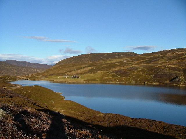
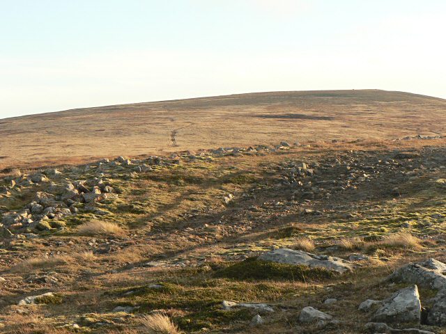
The Cairn of Gowal is a prominent hill located in Aberdeenshire, Scotland. Rising to an elevation of approximately 560 meters (1,837 feet), it is part of the Cairngorms National Park and offers breathtaking views of the surrounding landscape. Situated near the village of Tarland, the hill is a popular destination for hikers, nature enthusiasts, and outdoor adventurers.

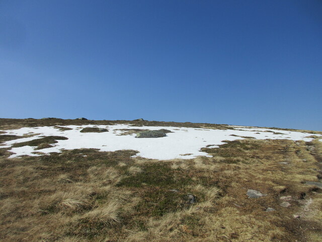
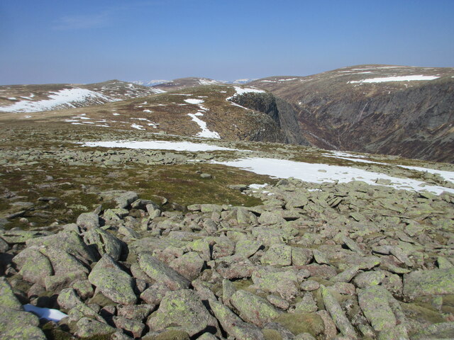
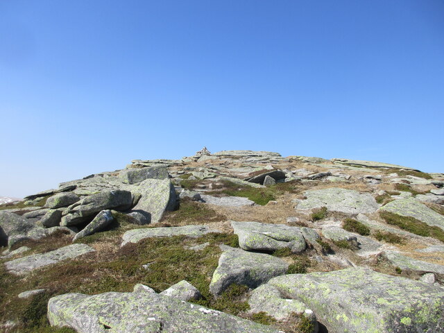
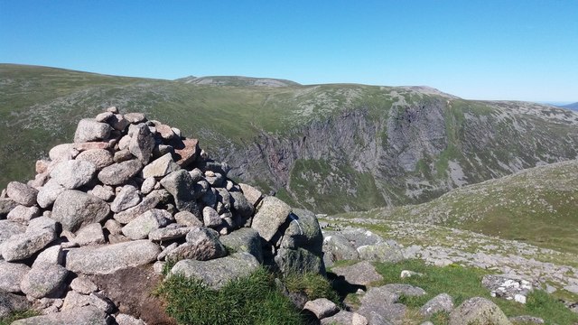
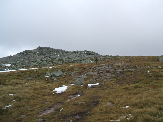
The Cairn of Gowal is characterized by its distinctive rocky terrain, featuring large granite outcrops and heather-covered slopes. The hill is home to a diverse range of plant and animal species, including mountain hare, red deer, and various bird species. Its unique ecosystem is protected under conservation efforts, ensuring the preservation of its natural beauty and biodiversity.

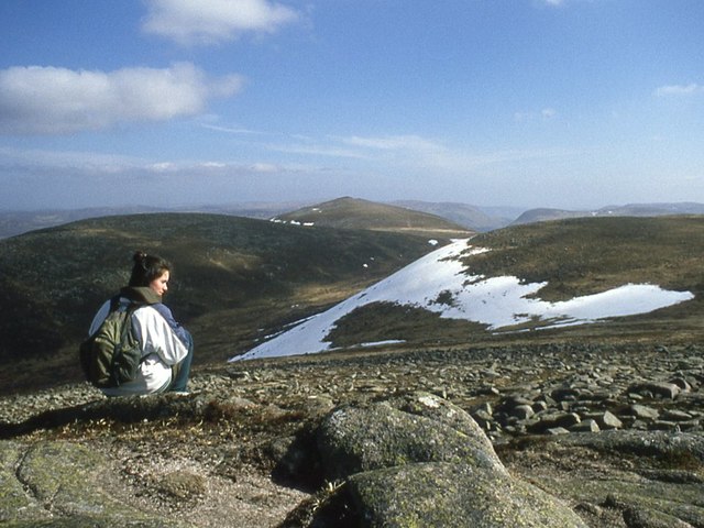
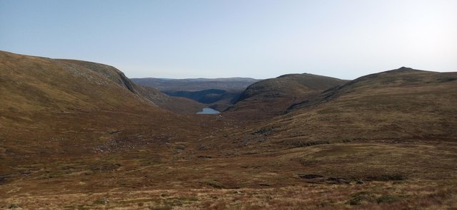
At the summit of the Cairn of Gowal, visitors are rewarded with panoramic vistas that stretch across Aberdeenshire and beyond. On clear days, it is possible to see as far as the Cairngorm Mountains to the west and the North Sea to the east. The hill's strategic location also provides stunning views of nearby landmarks such as the Moray Firth and the River Dee.

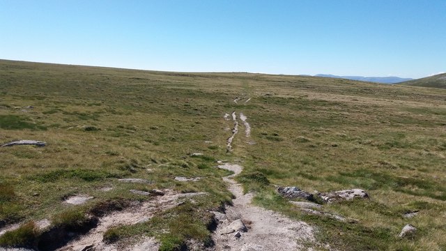
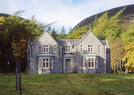
The Cairn of Gowal is easily accessible to both experienced hikers and casual walkers, with several well-marked trails leading to its summit. Its close proximity to other popular attractions in Aberdeenshire, such as Balmoral Castle and Glen Tanar, makes it a favored spot for tourists seeking to explore the region's natural wonders.

If you have any feedback on the listing, please let us know in the comments section below.

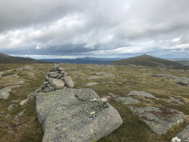
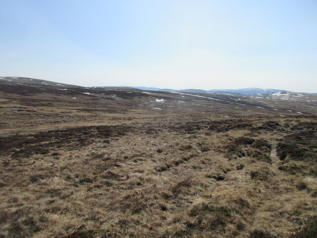
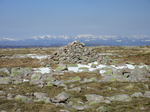
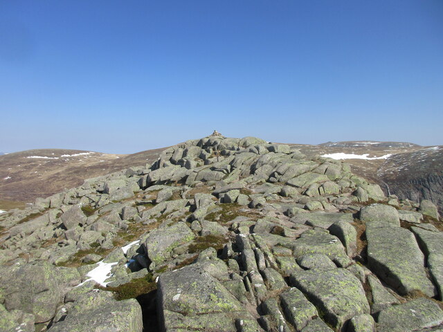
Cairn of Gowal Images

Images are sourced within 2km of 56.923569/-3.2719589 or Grid Reference NO2282. Thanks to Geograph Open Source API. All images are credited.

Summit Cairn of Gowal Munro top 983m
Summit Cairn of Gowal
Munro top 983m
Desolate Moorland Moorland stretching away southwards from between Creag Leachdach and the Shank of Fafernie.
Desolate Moorland
Moorland stretching away southwards from between Creag Leachdach and the Shank of Fafernie.
Cairn on Fafernie Looking north to the cairn on Fafernie, with the Alpine-like Cairngorms on the horizon.
Cairn on Fafernie
Looking north to the cairn on Fafernie, with the Alpine-like Cairngorms on the horizon.
Summit of Cairn Bannoch Stony summit of Cairn Bannoch from the south.
Summit of Cairn Bannoch
Stony summit of Cairn Bannoch from the south.
Snow bank on the Cairn of Gowal Snow on the north side of the Cairn of Gowal.
Snow bank on the Cairn of Gowal
Snow on the north side of the Cairn of Gowal.
North-west slope of Broad Cairn Looking down the north-western slope of Broad Cairn from beneath the summit, with Creag an Dubh-loch ahead.
North-west slope of Broad Cairn
Looking down the north-western slope of Broad Cairn from beneath the summit, with Creag an Dubh-loch ahead.
Summit of Broad Cairn Looking up to the summit of Broad Cairn from the north-east.
Summit of Broad Cairn
Looking up to the summit of Broad Cairn from the north-east.
Path towards Fafernie
Cairn Bannoch Its position above the Coire Uilleim Mhoir gives a fantastic view of the Eagle's Rock.
Cairn Bannoch
Its position above the Coire Uilleim Mhoir gives a fantastic view of the Eagle's Rock.
Cairn of Gowal
Cairn of Gowal
Approaching Broad Cairn From the west.
Approaching Broad Cairn
From the west.
Broad Cairn Stunning viewpoint, looking NE towards Loch Muick.
Broad Cairn
Stunning viewpoint, looking NE towards Loch Muick.
Eastern end of Dubh Loch A place popular with climbers, or with walkers who cut the classic round over the White Mounth Munros short and descend through this mysterious glen towards Loch Muick.
Eastern end of Dubh Loch
A place popular with climbers, or with walkers who cut the classic round over the White Mounth Munros short and descend through this mysterious glen towards Loch Muick.
On Cairn of Gowal
On Cairn of Gowal
Across Central Gully to Dubh Loch
Eastern end of Dubh Loch
Cairn Bannoch summit
The distant Dubh Loch View of the loch and surrounding crags from the path beneath Carn an t-Sagairt Mor.
The distant Dubh Loch
View of the loch and surrounding crags from the path beneath Carn an t-Sagairt Mor.
Show me another place!

Cairn of Gowal is located at Grid Ref: NO2282 (Lat: 56.923569, Lng: -3.2719589)

Unitary Authority: Aberdeenshire

Police Authority: North East

What 3 Words

///other.pixies.prepped. Near Inverey, Aberdeenshire

Related Wikis

Related Videos

Nearby Amenities

Located within 500m of 56.923569,-3.2719589
Cairn of Gowal
Ele: 983
Natural: peak
Lat/Long: 56.9198853/-3.2699363
Ele: 991
Natural: peak
Lat/Long: 56.923499/-3.2719402
The data included in this document is from www.openstreetmap.org. The data is made available under ODbL.

Have you been to Cairn of Gowal?

Leave your review of Cairn of Gowal below (or comments, questions and feedback).