Coire Uilleim Mhóir
Valley in Aberdeenshire
Scotland
Coire Uilleim Mhóir
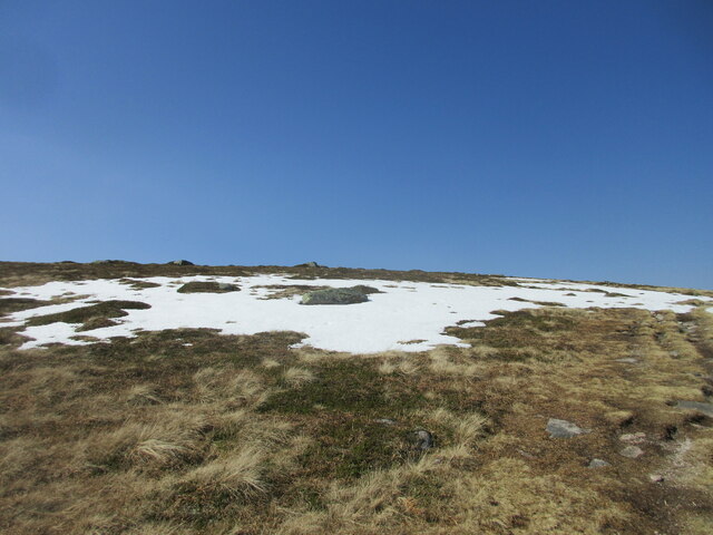
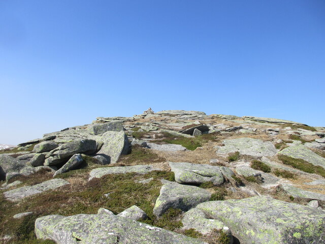
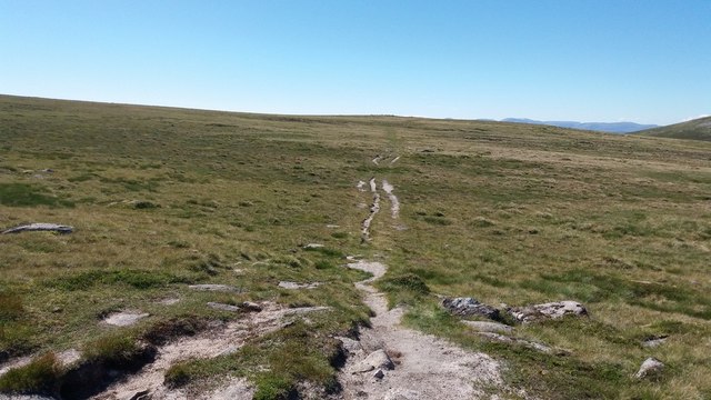
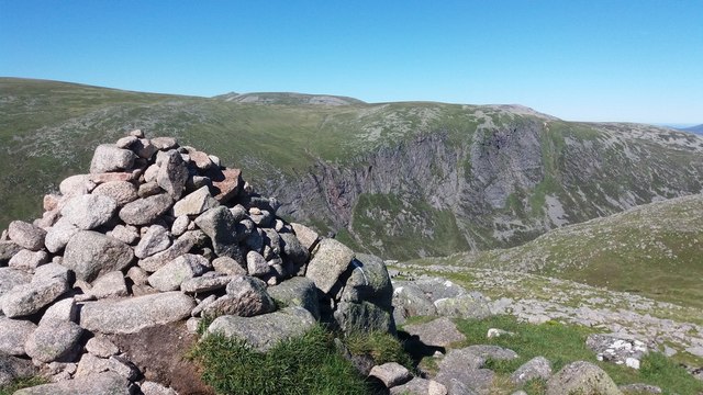
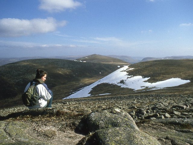
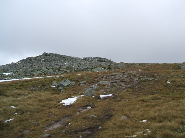
Coire Uilleim Mhóir, located in Aberdeenshire, Scotland, is a picturesque valley nestled within the Cairngorms National Park. The valley stretches for approximately 2.5 kilometers and is surrounded by stunning mountainous landscapes, making it a popular destination for hikers and nature enthusiasts.
The valley's name, Coire Uilleim Mhóir, translates to "Big William's Corrie," paying homage to the renowned mountain guide William C. Smith. It is characterized by its steep sides and a gently sloping floor, which is home to a variety of flora and fauna.
The valley is crossed by a small river, which flows down from the surrounding mountain peaks, adding to the charm of the area. The river creates a tranquil atmosphere and provides a refreshing place for visitors to relax and enjoy the natural surroundings.
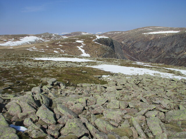
Coire Uilleim Mhóir offers breathtaking views of the surrounding peaks, including Ben Avon and Beinn a'Bhuird, which rise majestically from the valley floor. These mountains provide a challenging terrain for experienced hikers and mountaineers, with numerous trails and routes to explore.
The valley is also home to a rich diversity of wildlife, including red deer, golden eagles, and ptarmigan. Nature lovers often visit Coire Uilleim Mhóir to witness these magnificent creatures in their natural habitat.
Overall, Coire Uilleim Mhóir is a stunning and serene valley in Aberdeenshire, offering visitors the opportunity to immerse themselves in the beauty of the Scottish Highlands and experience the wonders of nature.
If you have any feedback on the listing, please let us know in the comments section below.
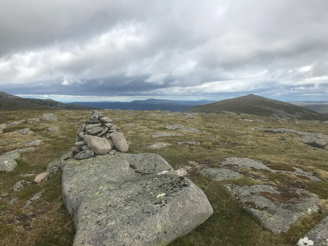
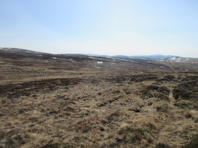
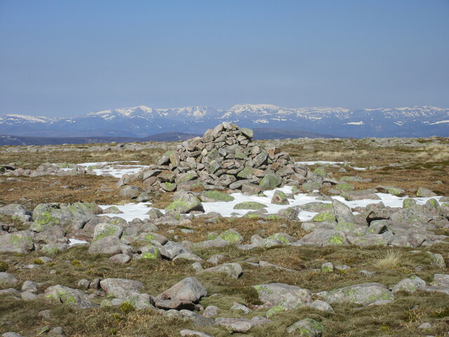
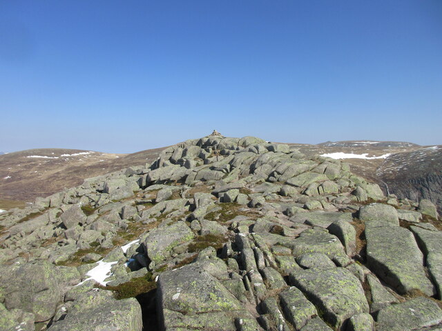
Coire Uilleim Mhóir Images
Images are sourced within 2km of 56.925137/-3.2670341 or Grid Reference NO2282. Thanks to Geograph Open Source API. All images are credited.


Coire Uilleim Mhóir is located at Grid Ref: NO2282 (Lat: 56.925137, Lng: -3.2670341)
Unitary Authority: Aberdeenshire
Police Authority: North East
What 3 Words
///counts.cornering.toggle. Near Inverey, Aberdeenshire
Nearby Locations
Related Wikis
Cairn Bannoch
Cairn Bannoch (Scottish Gaelic: Càrn a' Bheannaich) is a mountain in the White Mounth, a mountainous plateau in the Scottish Highlands. It is about seventeen...

Dubh Loch (Glen Muick)
Dubh Loch is a small upland loch situated within the Balmoral Estate, in Aberdeenshire, Scotland. It is at an altitude of 637 metres (2,090 ft), with a...

Broad Cairn
Broad Cairn is a mountain in the Grampians of Scotland, located about 16 mi (26 km) south of the River Dee near Balmoral. It has an elevation of 998 m...

Lochnagar
Lochnagar or Beinn Chìochan is a mountain in the Mounth, in the Grampians of Scotland. It is about five miles (eight kilometres) south of the River Dee...
Nearby Amenities
Located within 500m of 56.925137,-3.2670341Have you been to Coire Uilleim Mhóir?
Leave your review of Coire Uilleim Mhóir below (or comments, questions and feedback).