Cairn Bannoch
Hill, Mountain in Aberdeenshire
Scotland
Cairn Bannoch
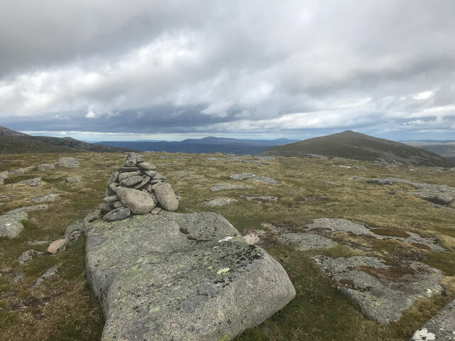
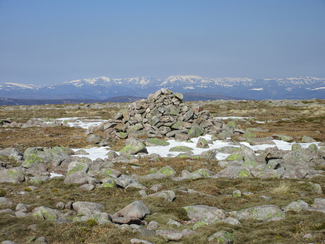
Cairn Bannoch is a prominent hill located in Aberdeenshire, Scotland. It forms part of the Grampian Mountains, specifically within the Cairngorms National Park. Standing at an elevation of 1012 meters (3,320 feet), it is a popular destination for hikers and mountaineers.
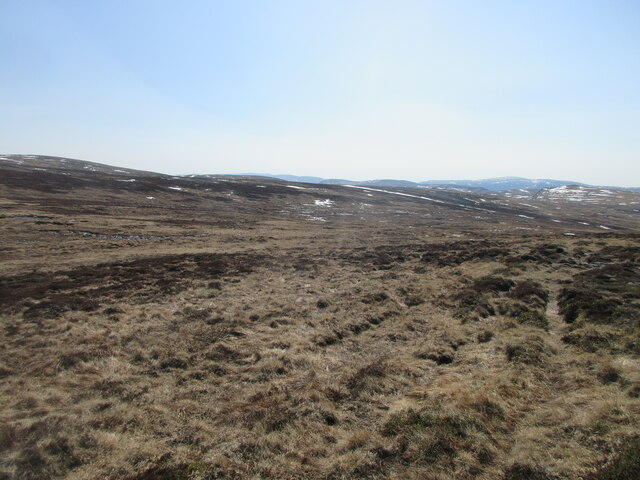
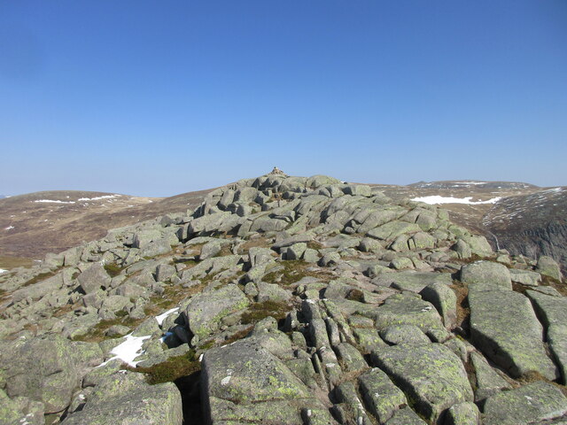
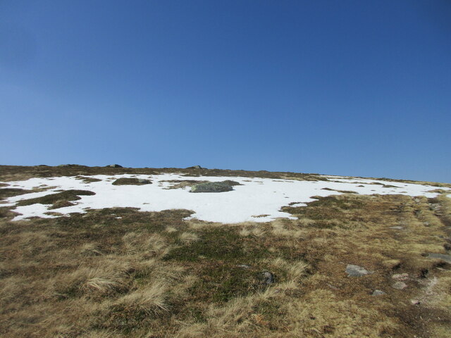
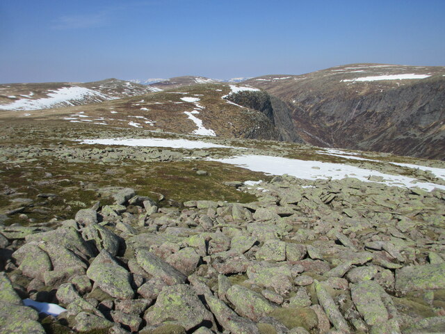
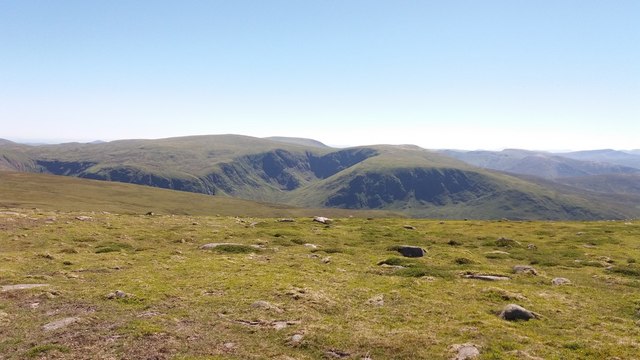
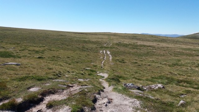
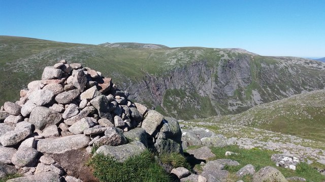
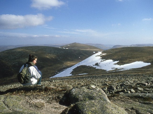
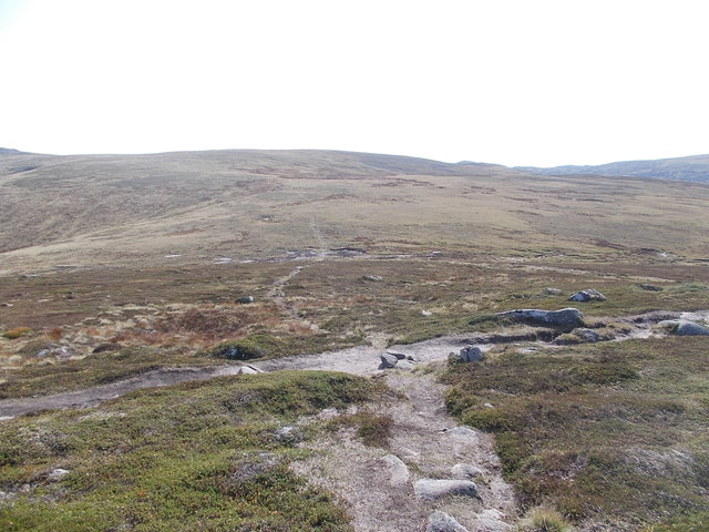
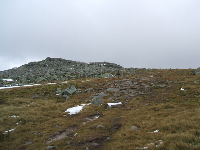
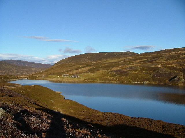
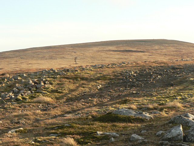
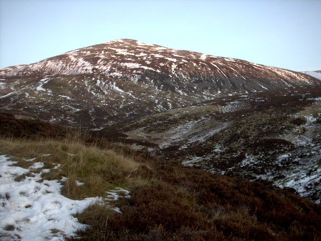
The hill is characterized by its rugged and steep slopes, which offer a challenging climb for outdoor enthusiasts. Its distinctive triangular shape and rocky terrain make it a striking feature of the surrounding landscape. From its summit, visitors are rewarded with breathtaking panoramic views of the surrounding hills, valleys, and lochs.
Cairn Bannoch is part of a larger range known as the White Mounth, which includes several other notable peaks such as Broad Cairn and Lochnagar. The area is renowned for its abundant wildlife, including red deer, mountain hares, and golden eagles, making it a popular spot for nature enthusiasts.
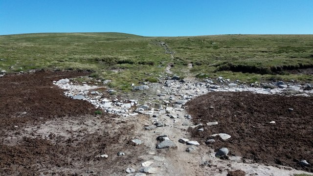
Access to Cairn Bannoch is typically gained from the Glen Muick car park, where a well-marked trail leads up to the hill. However, it should be noted that the climb can be physically demanding, especially in adverse weather conditions, and appropriate hiking gear and navigation skills are essential.
Overall, Cairn Bannoch offers a challenging yet rewarding outdoor experience, allowing visitors to immerse themselves in the natural beauty of Aberdeenshire's mountainous terrain.
If you have any feedback on the listing, please let us know in the comments section below.
Cairn Bannoch Images
Images are sourced within 2km of 56.927744/-3.278394 or Grid Reference NO2282. Thanks to Geograph Open Source API. All images are credited.


Cairn Bannoch is located at Grid Ref: NO2282 (Lat: 56.927744, Lng: -3.278394)
Unitary Authority: Aberdeenshire
Police Authority: North East
What 3 Words
///magnets.masks.tones. Near Inverey, Aberdeenshire
Nearby Locations
Related Wikis
Cairn Bannoch
Cairn Bannoch (Scottish Gaelic: Càrn a' Bheannaich) is a mountain in the White Mounth, a mountainous plateau in the Scottish Highlands. It is about seventeen...

Dubh Loch (Glen Muick)
Dubh Loch is a small upland loch situated within the Balmoral Estate, in Aberdeenshire, Scotland. It is at an altitude of 637 metres (2,090 ft), with a...

Broad Cairn
Broad Cairn is a mountain in the Grampians of Scotland, located about sixteen miles south of the River Dee near Balmoral.

Lochnagar
Lochnagar or Beinn Chìochan is a mountain in the Mounth, in the Grampians of Scotland. It is about five miles (eight kilometres) south of the River Dee...
Loch Callater
Loch Callater is an upland, freshwater loch lying approximately 5 miles (8 km) south of Braemar, Scotland. The loch trends in a northwest to southeast...

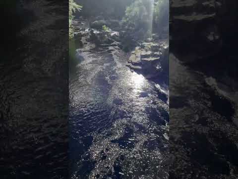
Falls of Glas Allt
Falls of Glas Allt is a 50-metre (160 ft) waterfall near the head of Loch Muick, Aberdeenshire, Scotland. Queen Victoria liked to take walks here beside...
Cairn of Claise
Cairn of Claise is a mountain in the Grampians of Scotland, located about three miles from the Glenshee Ski Center near Braemar. == References ==
Carn an Tuirc
Carn an Tuirc (Scottish Gaelic: Càrn an Tuirc, 'hill of the wild boar') is a mountain in the Mounth region of the Grampian Mountains, in the Scottish Highlands...
Related Videos


Nearby Amenities
Located within 500m of 56.927744,-3.278394Have you been to Cairn Bannoch?
Leave your review of Cairn Bannoch below (or comments, questions and feedback).