Glog Hill

Hill, Mountain in Radnorshire

Wales

Glog Hill

The Hundred mph House at Bledda
The Hundred mph House at Bledda Credit: Row17

Glog Hill is a prominent hill located in the county of Radnorshire, Wales. It is part of the Radnor Forest and stands at an elevation of approximately 487 meters (1,598 feet). The hill is situated in the western part of the county, near the village of New Radnor.

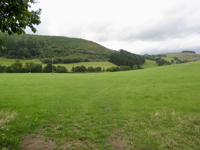
Glog Hill is known for its distinctive rounded shape and is a popular destination for hikers and nature enthusiasts. Its summit offers breathtaking panoramic views of the surrounding countryside, including the Radnorshire Hills, the Cambrian Mountains, and the Wye Valley.

The hill is covered in a mixture of grass and heather, providing a diverse habitat for various wildlife species. It is home to a variety of bird species, including red kites, buzzards, and kestrels, which can often be spotted soaring above the hill.

Glog Hill also has historical significance, with evidence of Iron Age hillforts found in the area. These ancient structures are believed to have been used as defensive settlements during that period.

The hill is easily accessible, with footpaths and trails leading to its summit. It offers a challenging but rewarding hike for those seeking outdoor adventure. Glog Hill is a cherished natural landmark in Radnorshire, attracting both locals and visitors alike who appreciate its scenic beauty and historical importance.

If you have any feedback on the listing, please let us know in the comments section below.
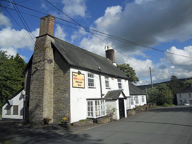
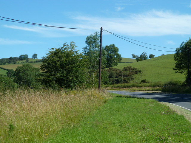
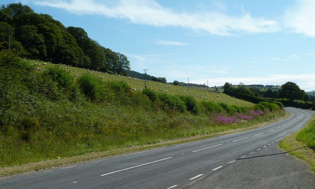
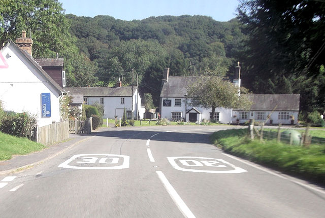
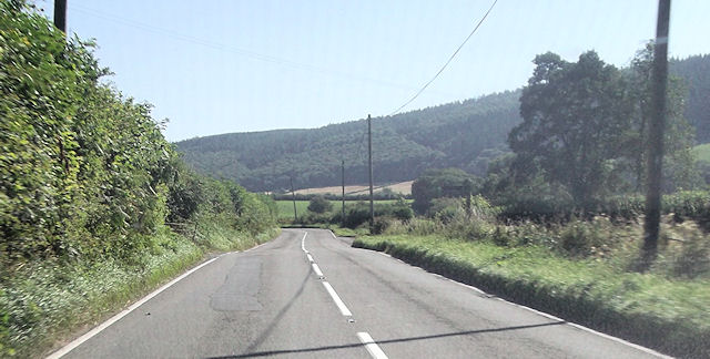
Glog Hill Images

Images are sourced within 2km of 52.314269/-3.1413725 or Grid Reference SO2269. Thanks to Geograph Open Source API. All images are credited.

The Hundred mph House at Bledda
A488 north of Monaughty From the end of a large lay-by.
A488 north of Monaughty
From the end of a large lay-by.
A488 below Hivron Looking west at the edge of the gridsquare.  The hamlet is on the hillside.
A488 below Hivron
Looking west at the edge of the gridsquare. The hamlet is on the hillside.
A488 towards Monaughty The road is at the foot of a hillside field, full of sheep when I passed by, in the next square.
A488 towards Monaughty
The road is at the foot of a hillside field, full of sheep when I passed by, in the next square.
Bleddfa on A488
Bleddfa on A488
A488 at Little Fron
A488 at Little Fron
A488 west of Tan-y-Coed Double bend at end of straight
A488 west of Tan-y-Coed
Double bend at end of straight
Monaughty ahead A488 northbound
Monaughty ahead
A488 northbound
Road junction in Monaughty
B4356 junction at Monaughty Looking north
B4356 junction at Monaughty
Looking north
Gate and fields, Dolly
Forestry Commission plantation above Dolly
Field by Dolly Upper Lugg Valley.
Field by Dolly
Upper Lugg Valley.
Road to Cefn-Suran Rally School 'Llywn' farm on the left
Road to Cefn-Suran Rally School
'Llywn' farm on the left
View across the Lugg valley 'Upper Weston' farm on the far side of the valley.
View across the Lugg valley
'Upper Weston' farm on the far side of the valley.
Rally School junction Turning off the B4356 to the rally school above Monaughty. Sadly, a fast turn on gravel is not possible. The main road's good alignment on a shelf above the Lugg valley is evident.
Rally School junction
Turning off the B4356 to the rally school above Monaughty. Sadly, a fast turn on gravel is not possible. The main road's good alignment on a shelf above the Lugg valley is evident.
Fields before Lower Weston Peeking through the roadside hedge reveals a view of the narrowing Lugg valley's fields and Lower Weston in the distance.
Fields before Lower Weston
Peeking through the roadside hedge reveals a view of the narrowing Lugg valley's fields and Lower Weston in the distance.
Sheep pasture above Griffin Lloyd Sheep scamper away from the photographer on the high pasture. Be advised that if accessing via Blaen-y-cwm, there are (or were in July 2008) two very aggressive dogs at that farm which will happily attack you or your conveyance.
Sheep pasture above Griffin Lloyd
Sheep scamper away from the photographer on the high pasture. Be advised that if accessing via Blaen-y-cwm, there are (or were in July 2008) two very aggressive dogs at that farm which will happily attack you or your conveyance.
Show me another place!

Glog Hill is located at Grid Ref: SO2269 (Lat: 52.314269, Lng: -3.1413725)

Unitary Authority: Powys

Police Authority: Dyfed Powys

What 3 Words

///canoe.goat.solution. Near Whitton, Powys

Related Wikis

Bleddfa Castle

Bleddfa Castle (sometimes referred to as Bledeach or Bledvach Castle) was a motte and bailey structure near Llangunllo in modern-day Powys, Wales. It...

Bleddfa

Bleddfa is a village in which lies on the road from Knighton to Penybont and is located in the community of Llangunllo, Powys, Wales. It is 5 miles from...

Llangunllo

Llangunllo (sometimes Llangynllo) is a village and community in central Powys (formerly in Radnorshire), Wales, located about 5 miles west of Knighton...

Battle of Bryn Glas

The Battle of Bryn Glas (also known as the Battle of Pilleth) was a battle between the Welsh and English on 22 June 1402, near the towns of Knighton and...

Nearby Amenities

Located within 500m of 52.314269,-3.1413725
Glôg Hill
Created By: Potlatch 0.10c
Natural: peak
Source: NPE
Wikidata: Q106710582
Lat/Long: 52.3143842/-3.1419461
The data included in this document is from www.openstreetmap.org. The data is made available under ODbL.

Have you been to Glog Hill?

Leave your review of Glog Hill below (or comments, questions and feedback).