Bell's Hill
Hill, Mountain in Midlothian
Scotland
Bell's Hill
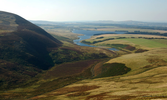
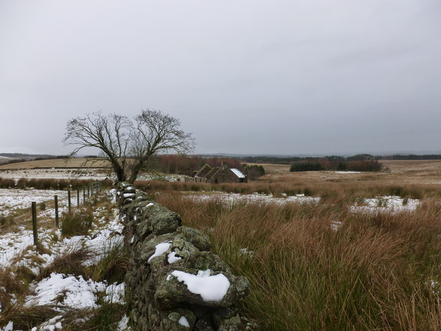
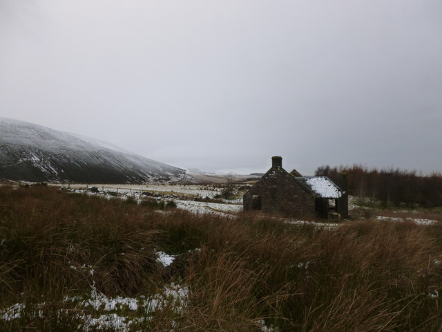
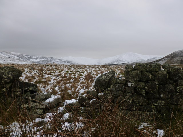
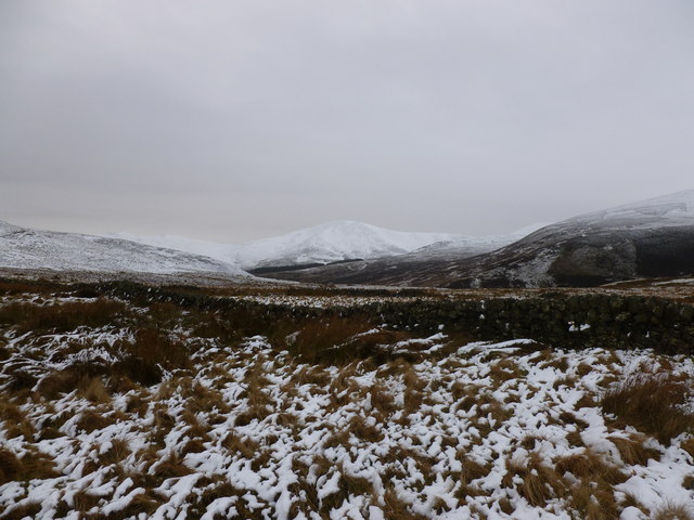
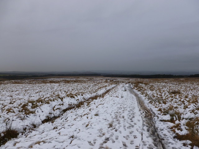
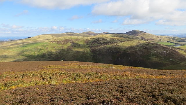
Bell's Hill is a prominent hill located in Midlothian, Scotland. It is known for its picturesque beauty and is a popular destination for hikers and nature enthusiasts. Rising to an elevation of 300 meters (984 feet), it offers stunning panoramic views of the surrounding countryside, making it a favorite spot for photographers and sightseers.
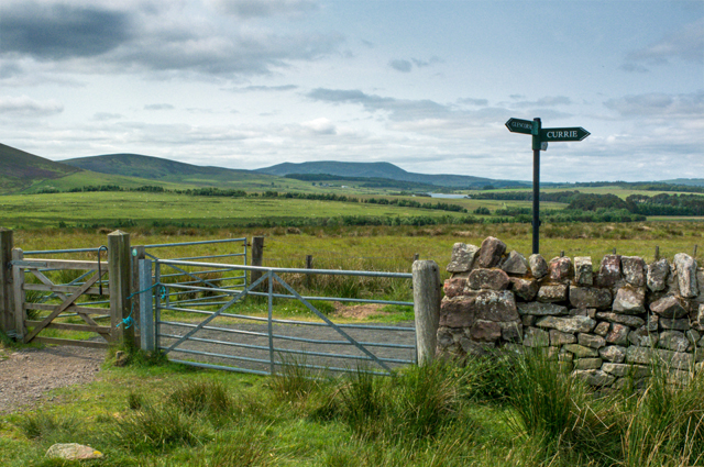
Situated in the southern part of Midlothian, Bell's Hill is part of the Pentland Hills range, which stretches across the region. It is easily accessible from nearby towns and villages, with well-marked trails leading to the summit. The hill is covered in lush vegetation, including heather, grasses, and scattered trees, providing a diverse and vibrant landscape.
The hill's name, Bell's Hill, is said to originate from the bell-shaped cairn that once stood on its peak. The cairn, a man-made pile of stones, served as a marker for travelers and is believed to have been used as a signal point during ancient times. Although the cairn no longer exists, its historical significance adds to the allure of Bell's Hill.
Besides its natural beauty, Bell's Hill is also home to an abundance of wildlife. Visitors may encounter various bird species, such as buzzards and kestrels, as well as small mammals like rabbits and deer. The hill's diverse ecosystem provides a habitat for many plant and animal species, contributing to its ecological importance.
Overall, Bell's Hill in Midlothian offers a unique blend of natural beauty, historical significance, and recreational opportunities, making it an ideal destination for those seeking outdoor adventures or simply wanting to enjoy the stunning Scottish countryside.
If you have any feedback on the listing, please let us know in the comments section below.
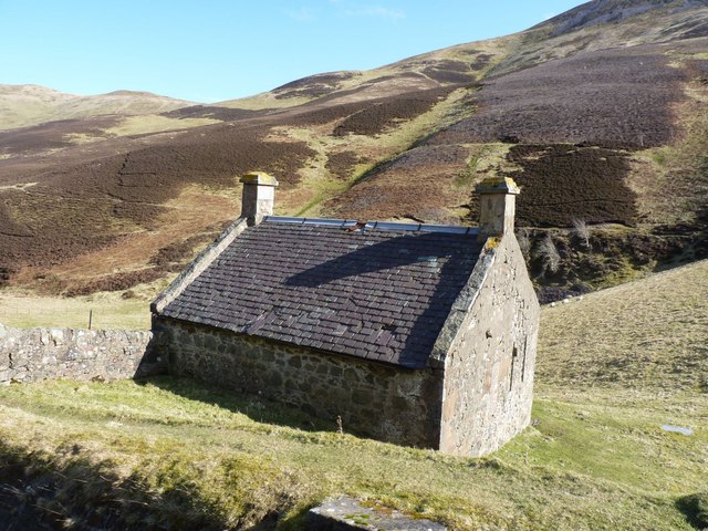
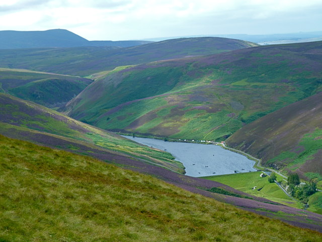
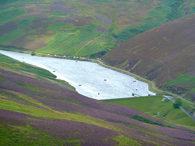
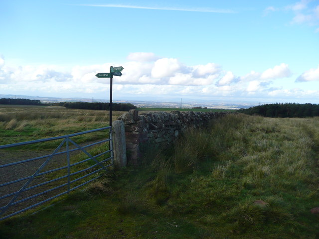
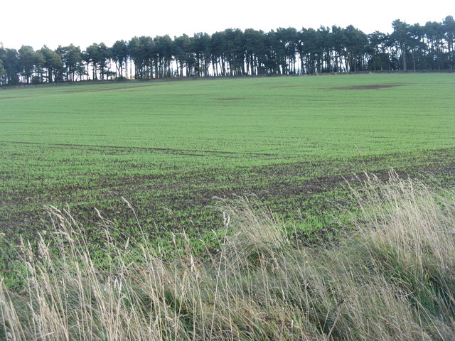
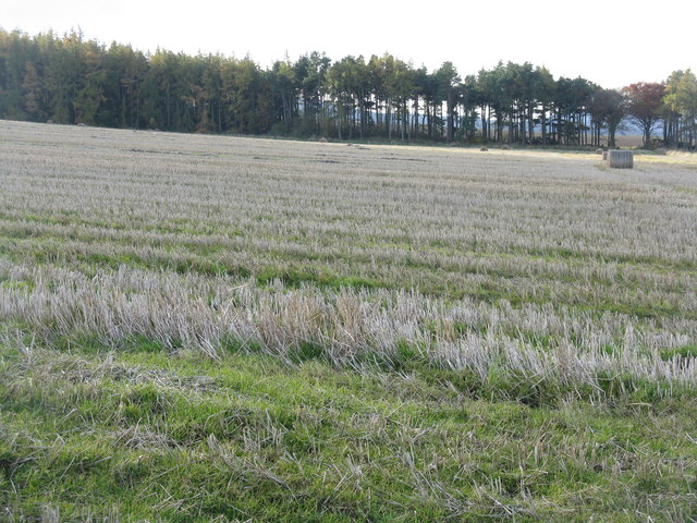
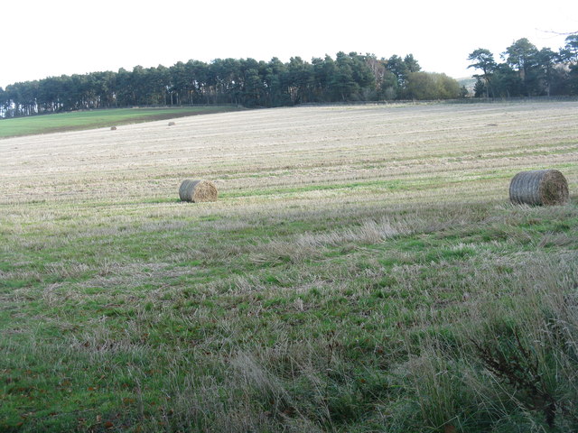
Bell's Hill Images
Images are sourced within 2km of 55.865887/-3.271858 or Grid Reference NT2064. Thanks to Geograph Open Source API. All images are credited.
Bell's Hill is located at Grid Ref: NT2064 (Lat: 55.865887, Lng: -3.271858)
Unitary Authority: Midlothian
Police Authority: The Lothians and Scottish Borders
What 3 Words
///rooftop.blaze.tickling. Near Currie, Edinburgh
Nearby Locations
Related Wikis

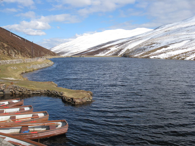
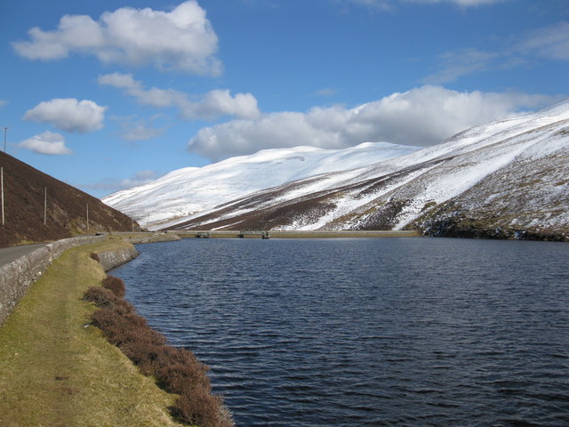
Glencorse Reservoir
Glencorse Reservoir is a reservoir in Midlothian, Scotland, two miles west of Glencorse, in the Pentland Hills. It is retained by an earth dam, and it...

Battle of Rullion Green
The Battle of Rullion Green took place on 28 November 1666, near the Pentland Hills, in Midlothian, Scotland. It was the only significant battle of the...

Loganlea Reservoir
Loganlea Reservoir is a small reservoir in the Pentland Hills, Midlothian, Scotland, UK. The Logan Burn connects the reservoir with Glencorse Reservoir...

Castle Law
Castle Law is a hill south west of Fairmilehead in the Pentland Hills in Midlothian, Scotland. It is best known for the Iron Age hill fort on its slopes...
Nearby Amenities
Located within 500m of 55.865887,-3.271858Have you been to Bell's Hill?
Leave your review of Bell's Hill below (or comments, questions and feedback).