Maiden's Cleugh

Valley in Midlothian

Scotland

Maiden's Cleugh

Path junction at Cock Rig Right for Currie, left for Balerno.
Path junction at Cock Rig Credit: Gordon Brown

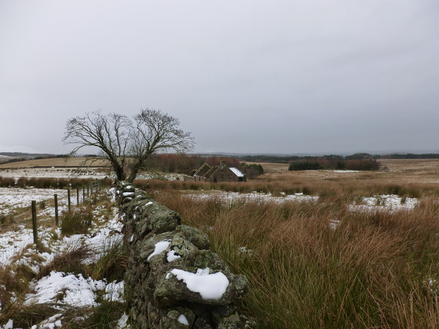
Maiden's Cleugh is a picturesque valley located in Midlothian, Scotland. Nestled amidst the rolling hills and lush greenery, the cleugh is renowned for its natural beauty and tranquil atmosphere. The name "cleugh" refers to a narrow valley, and Maiden's Cleugh is aptly named after the stream that flows through it.

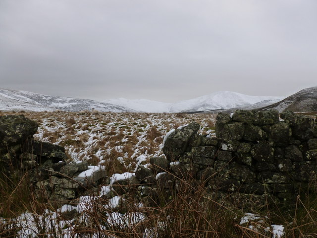
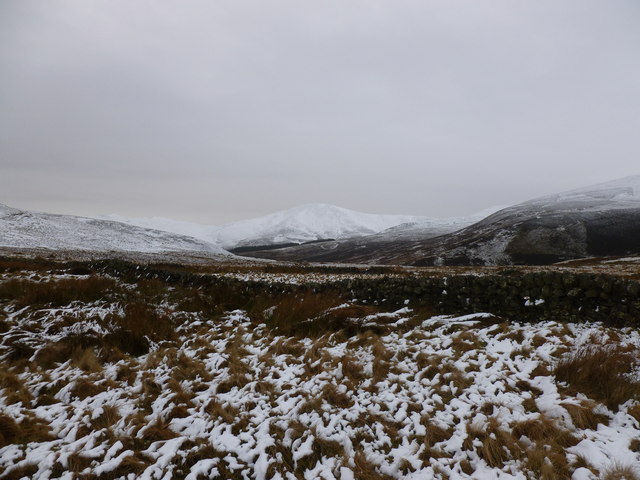
The valley is characterized by its diverse flora and fauna, with a variety of plant species thriving in the fertile soil. The landscape is dominated by patches of woodland, including oak, birch, and rowan trees, which provide a habitat for numerous bird species and small mammals. The cleugh is particularly enchanting during the spring and summer months when the valley is adorned with vibrant wildflowers, creating a kaleidoscope of colors.

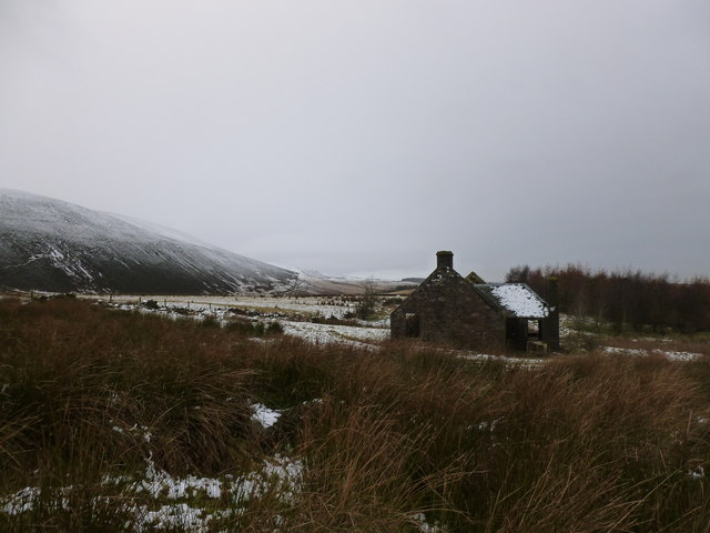
Maiden's Cleugh is a haven for outdoor enthusiasts, offering a range of recreational activities. Hiking trails wind through the valley, allowing visitors to explore the breathtaking scenery at their own pace. The trails vary in difficulty, catering to both novice and experienced hikers. Along the way, hikers can enjoy breathtaking views of the surrounding countryside and catch glimpses of the local wildlife.

In addition to hiking, Maiden's Cleugh is popular among anglers. The stream that runs through the valley is home to a variety of fish species, including brown trout, making it a prime fishing spot. Anglers can spend a leisurely day casting their lines and enjoying the serenity of the cleugh.

Overall, Maiden's Cleugh is a hidden gem in Midlothian, offering a peaceful retreat for nature lovers and outdoor enthusiasts alike. Its natural beauty, diverse wildlife, and recreational opportunities make it a must-visit destination for those seeking a tranquil escape in the heart of Scotland.

If you have any feedback on the listing, please let us know in the comments section below.

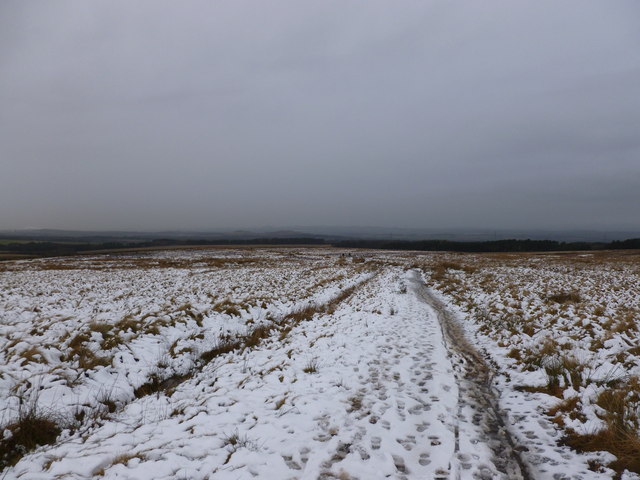
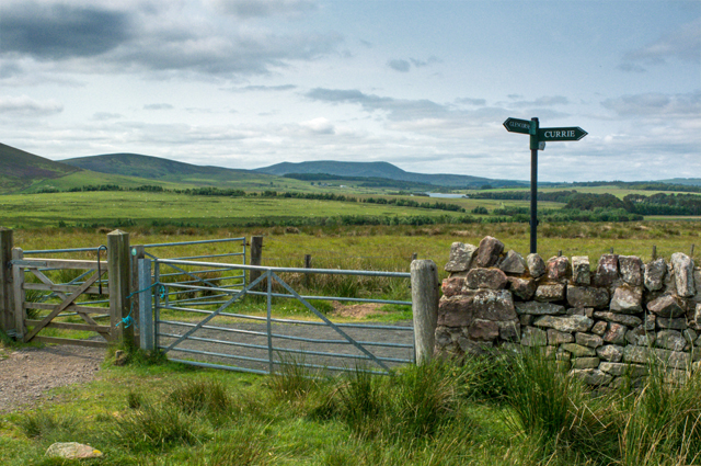
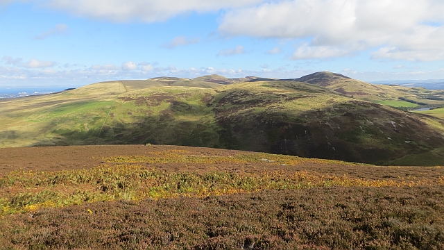
Maiden's Cleugh Images

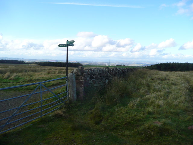
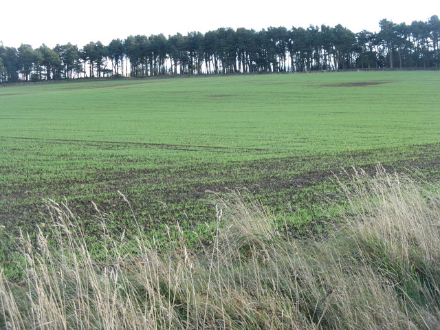
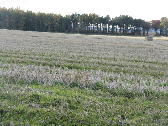
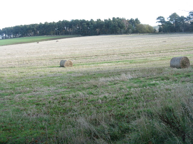
Images are sourced within 2km of 55.869053/-3.2698201 or Grid Reference NT2064. Thanks to Geograph Open Source API. All images are credited.

Path junction at Cock Rig Right for Currie, left for Balerno.
Path junction at Cock Rig
Right for Currie, left for Balerno.
Winter wheat at Kinleith Nicely germinated, and looking up the slope to the Whiteside Plantation.
Winter wheat at Kinleith
Nicely germinated, and looking up the slope to the Whiteside Plantation.
Shelter belt by the Kinleith Burn A group of pines, part of the Whiteside Plantations. The lean is genuine - looking south, so the prevailing winds come from the right and at 260 m a.s.l. in the Pentlands they can have quite an effect on the vegetation.
Shelter belt by the Kinleith Burn
A group of pines, part of the Whiteside Plantations. The lean is genuine - looking south, so the prevailing winds come from the right and at 260 m a.s.l. in the Pentlands they can have quite an effect on the vegetation.
Winter wheat at Kinleith Last harvest's stubble in the foreground and next year's crop just emerging in the field beyond. Capelaw Hill on the skyline, under some nice lenticular or wave clouds.
Winter wheat at Kinleith
Last harvest's stubble in the foreground and next year's crop just emerging in the field beyond. Capelaw Hill on the skyline, under some nice lenticular or wave clouds.
Barley stubble at Kinleith With a pine and larch shelter belt running along the line of the Kinleith Burn.
Barley stubble at Kinleith
With a pine and larch shelter belt running along the line of the Kinleith Burn.
Tramlines in winter wheat At Kinleith above Currie, which is on the outskirts of Edinburgh, where they have the same situation - tram lines, but no trams. Here, though, their absence is intentional.
Tramlines in winter wheat
At Kinleith above Currie, which is on the outskirts of Edinburgh, where they have the same situation - tram lines, but no trams. Here, though, their absence is intentional.
November poppy in the barley stubble A Field Poppy [Papaver rhoeas] at Kinleith above Currie, in the foothills of the Pentlands.
November poppy in the barley stubble
A Field Poppy [Papaver rhoeas] at Kinleith above Currie, in the foothills of the Pentlands.
Whiteside Plantations Coniferous shelterbelts in the Pentland Hills, with barley stubble in the foreground and next year's winter wheat in the distance.
Whiteside Plantations
Coniferous shelterbelts in the Pentland Hills, with barley stubble in the foreground and next year's winter wheat in the distance.
Drystane dyke and rowan tree at Craigentarrie Craigentarrie is an abandoned farmstead and traces of rig and furrow cultivation can be found in the surrounding ground.
Drystane dyke and rowan tree at Craigentarrie
Craigentarrie is an abandoned farmstead and traces of rig and furrow cultivation can be found in the surrounding ground.
Abandoned steading at Craigentarrie There has been a house on this site since at least the 18th Century, but the farmstead is now abandoned and in a state of disrepair.

Further details of the site can be found at:

<span class="nowrap"><a title="http://canmore.rcahms.gov.uk/en/site/307407/details/craigentarrie/" rel="nofollow ugc noopener" href="http://canmore.rcahms.gov.uk/en/site/307407/details/craigentarrie/">Link</a><img style="margin-left:2px;" alt="External link" title="External link - shift click to open in new window" src="https://s1.geograph.org.uk/img/external.png" width="10" height="10"/></span>
Abandoned steading at Craigentarrie
There has been a house on this site since at least the 18th Century, but the farmstead is now abandoned and in a state of disrepair. Further details of the site can be found at: LinkExternal link
Gap in the wall, Craigentarrie Looking towards a distant snow-covered Turnhouse Hill and Carnethy Hill.
Gap in the wall, Craigentarrie
Looking towards a distant snow-covered Turnhouse Hill and Carnethy Hill.
Moorland and drystane dyke, Craigentarrie Looking towards Maiden's Cleuch, part of the ancient Clochmead route between Harlaw and Glencorse.
Moorland and drystane dyke, Craigentarrie
Looking towards Maiden's Cleuch, part of the ancient Clochmead route between Harlaw and Glencorse.
Clochmead path between Harlaw and Glencorse A thin covering snow on the moorland below the Pentland Hills.
Clochmead path between Harlaw and Glencorse
A thin covering snow on the moorland below the Pentland Hills.
Track Junction Junction on the track from Currie to Glencorse Reservoir
Track Junction
Junction on the track from Currie to Glencorse Reservoir
Moorland, Black Hill View towards Allermuir Hill, Black Hill is heather covered and managed for grouse shooting.
Moorland, Black Hill
View towards Allermuir Hill, Black Hill is heather covered and managed for grouse shooting.
North side of Den's Cleugh Moorland on the slopes of Bell Hill.
North side of Den's Cleugh
Moorland on the slopes of Bell Hill.
Causeway, Threipmuir Reservoir Water was still flowing within the old water company building at the head of Threipmuir Reservoir. The causeway has been recently refurbished.
Causeway, Threipmuir Reservoir
Water was still flowing within the old water company building at the head of Threipmuir Reservoir. The causeway has been recently refurbished.
Moorland, Black Hill View over the heather towards Glencorse and Castlelaw Hill.
Moorland, Black Hill
View over the heather towards Glencorse and Castlelaw Hill.
Show me another place!

Maiden's Cleugh is located at Grid Ref: NT2064 (Lat: 55.869053, Lng: -3.2698201)

Unitary Authority: Midlothian

Police Authority: The Lothians and Scottish Borders

What 3 Words

///period.juggle.lightbulb. Near Currie, Edinburgh

Related Wikis

Glencorse Reservoir

Glencorse Reservoir is a reservoir in Midlothian, Scotland, two miles west of Glencorse, in the Pentland Hills. It is retained by an earth dam, and it...

Battle of Rullion Green

The Battle of Rullion Green took place on 28 November 1666, near the Pentland Hills, in Midlothian, Scotland. It was the only significant battle of the...

Castle Law

Castle Law is a hill south west of Fairmilehead in the Pentland Hills in Midlothian, Scotland. It is best known for the Iron Age hill fort on its slopes...

Harlaw Reservoir

Harlaw Reservoir is a small reservoir in the City of Edinburgh Council area, Scotland, UK, situated at the base of the Pentland Hills near Currie and Balerno...

Nearby Amenities

Located within 500m of 55.869053,-3.2698201
Bell's Hill
Ele: 406
Natural: peak
Wikidata: Q19365303
Lat/Long: 55.8657389/-3.2715858
Maiden's Cleugh
Ele: 350
Natural: saddle
Lat/Long: 55.871221/-3.2740766
Ele: 392
Natural: peak
Lat/Long: 55.8684989/-3.2755977
Addr Street: Jock Shaw Road
Barrier: stile
Stile: stepover
Lat/Long: 55.8712189/-3.2740187
The data included in this document is from www.openstreetmap.org. The data is made available under ODbL.

Have you been to Maiden's Cleugh?

Leave your review of Maiden's Cleugh below (or comments, questions and feedback).