Backlass
Hill, Mountain in Caithness
Scotland
Backlass

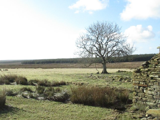
Backlass is a prominent hill located in the county of Caithness, in the northernmost part of mainland Scotland. Situated near the village of Halkirk, it is part of the stunning Highland landscape that characterizes the region. Backlass stands at an elevation of approximately 520 meters (1,706 feet), making it a notable landmark in the area.
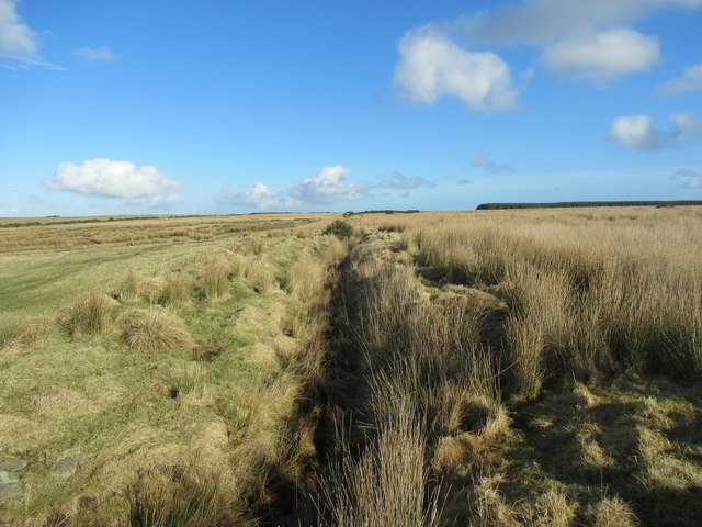
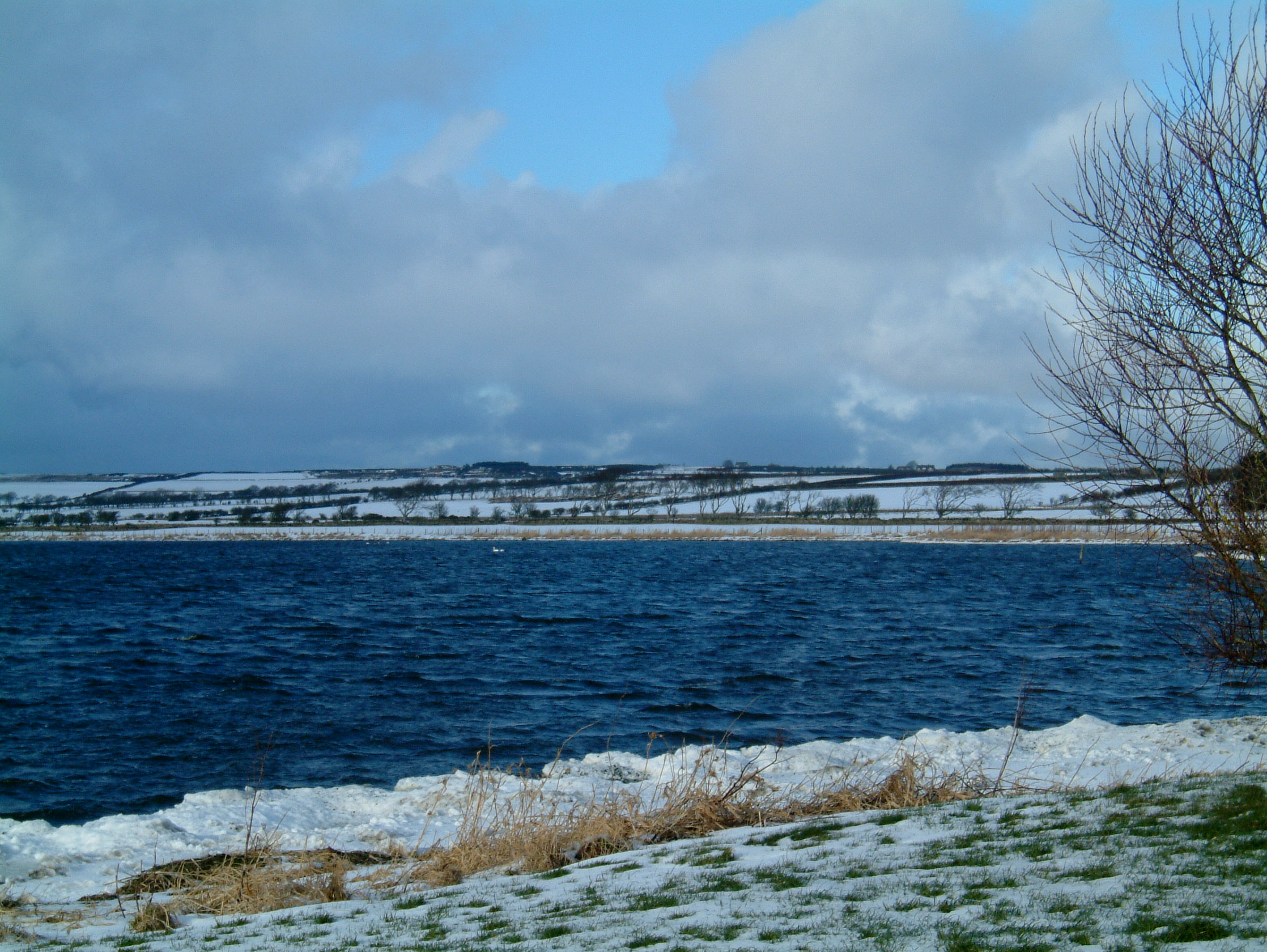
The hill features a distinctive conical shape, with its slopes covered in a mix of heather, grass, and scattered rocks. It offers breathtaking panoramic views of the surrounding countryside, including the rolling hills, moorlands, and numerous lochs that dot the Caithness landscape. On clear days, it is even possible to glimpse the nearby Orkney Islands from the summit.
Backlass is a popular destination for outdoor enthusiasts and avid hikers. A well-defined footpath leads to the top, making it accessible to those with a moderate level of fitness. The ascent presents a moderate challenge, with some steep sections requiring careful navigation. However, the effort is rewarded with the stunning vistas that await at the summit.
The hill is also known for its rich biodiversity, with various species of birds, including red grouse and golden eagles, often spotted in the area. Additionally, the surrounding moorlands are home to a diverse range of plant life, including heather, bog cotton, and various species of wildflowers.
Overall, Backlass provides a wonderful opportunity for visitors to immerse themselves in the natural beauty of Caithness and experience the tranquility of the Scottish Highlands.
If you have any feedback on the listing, please let us know in the comments section below.
Backlass Images
Images are sourced within 2km of 58.468074/-3.3644356 or Grid Reference ND2054. Thanks to Geograph Open Source API. All images are credited.


Backlass is located at Grid Ref: ND2054 (Lat: 58.468074, Lng: -3.3644356)
Unitary Authority: Highland
Police Authority: Highlands and Islands
What 3 Words
///newest.modifies.pancakes. Near Halkirk, Highland
Nearby Locations
Related Wikis

Loch of Toftingall
Loch of Toftingall is a loch located to the east of Mybster in Highland, Scotland. It has a depth of 76 metres (249 ft) and a surface area of 50 hectares...

A882 road
The A882 road is entirely within Caithness in the Highland area of Scotland. It has a length of about 23 kilometres (14 mi) and runs generally west/northwest...
Caithness Lochs
Caithness Lochs is a protected wetland area in the historic county of Caithness in the far north of Scotland. With a total area of 1,379 hectares, it covers...
Loch Watten
Loch Watten is a loch in the River Wick drainage basin in Caithness, Scotland. The name is a tautology, consisting of the word "loch" (of Gaelic origin...
Nearby Amenities
Located within 500m of 58.468074,-3.3644356Have you been to Backlass?
Leave your review of Backlass below (or comments, questions and feedback).