Backlass Hill
Hill, Mountain in Caithness
Scotland
Backlass Hill

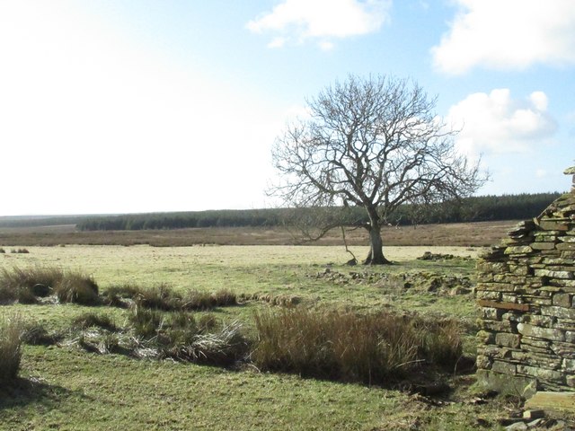
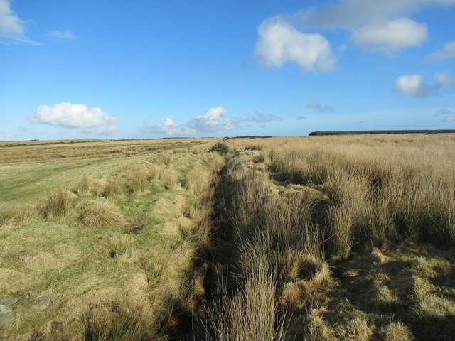
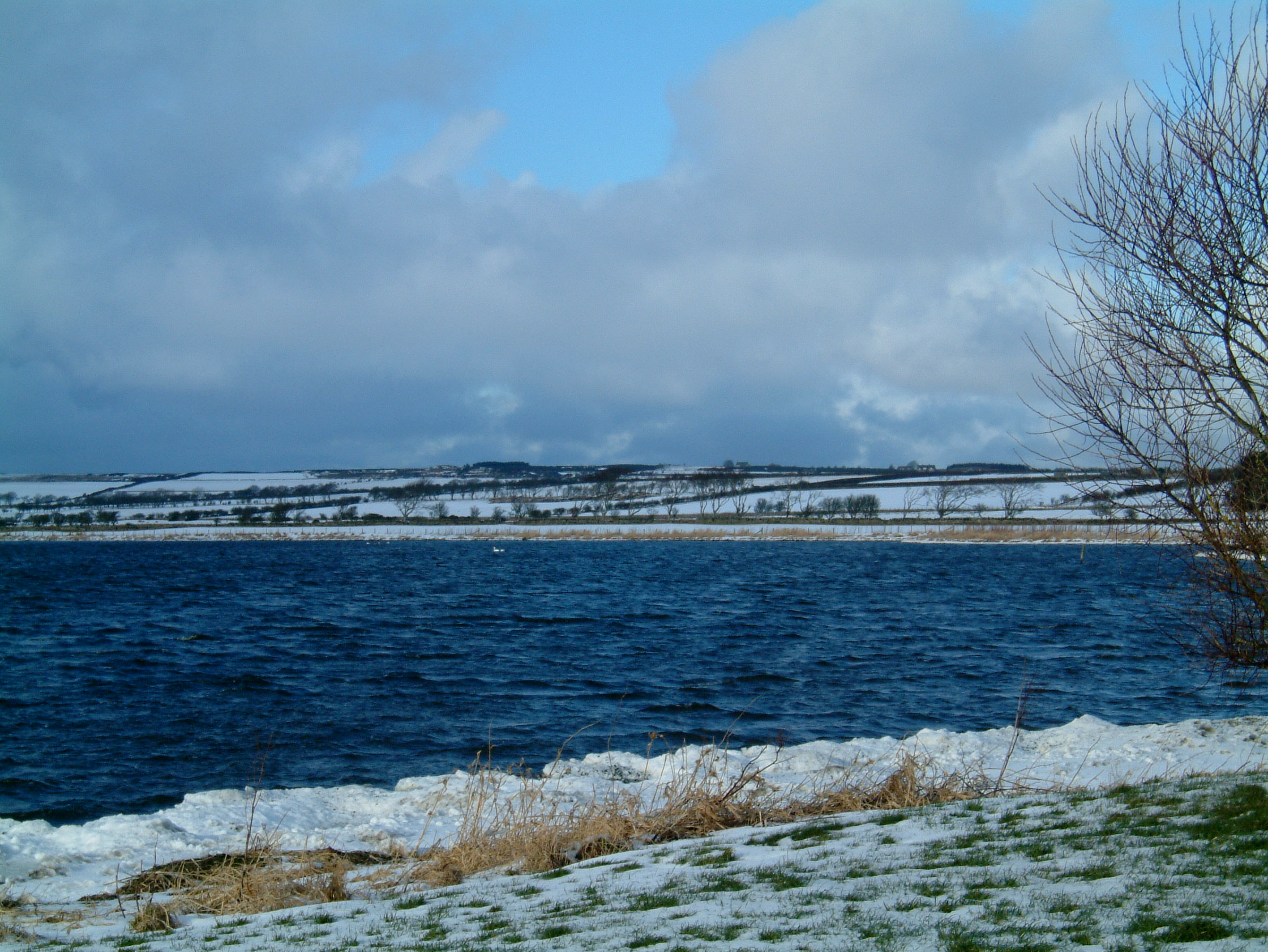
Backlass Hill is a prominent hill located in the county of Caithness, Scotland. It is situated to the east of the town of Wick and stands at an elevation of approximately 271 meters (889 feet) above sea level. Backlass Hill is known for its distinctive shape and commanding presence in the surrounding landscape.
The hill is characterized by its gently sloping sides, which are covered in heather and grass, giving it a beautiful green hue during the warmer months. Its summit offers breathtaking panoramic views of the surrounding countryside, including the nearby Wick Bay and the North Sea.
Backlass Hill is a popular destination for hikers and outdoor enthusiasts, attracting visitors from both near and far. The hill provides various walking trails that cater to different fitness levels, making it accessible to individuals of all abilities. Many visitors choose to follow the well-marked paths that lead to the summit, allowing them to enjoy the stunning vistas along the way.
Wildlife enthusiasts will also find Backlass Hill to be a haven for various species of birds, including the iconic red grouse and the elusive golden eagle. The hill's diverse flora and fauna make it an excellent spot for nature photography and birdwatching.
Overall, Backlass Hill in Caithness is a natural gem, offering visitors a chance to immerse themselves in the beauty of the Scottish Highlands while enjoying outdoor activities and taking in the breathtaking scenery.
If you have any feedback on the listing, please let us know in the comments section below.
Backlass Hill Images
Images are sourced within 2km of 58.468102/-3.3642995 or Grid Reference ND2054. Thanks to Geograph Open Source API. All images are credited.


Backlass Hill is located at Grid Ref: ND2054 (Lat: 58.468102, Lng: -3.3642995)
Unitary Authority: Highland
Police Authority: Highlands and Islands
What 3 Words
///sourcing.dubbing.about. Near Halkirk, Highland
Nearby Locations
Related Wikis

Loch of Toftingall
Loch of Toftingall is a loch located to the east of Mybster in Highland, Scotland. It has a depth of 76 metres (249 ft) and a surface area of 50 hectares...

A882 road
The A882 road is entirely within Caithness in the Highland area of Scotland. It has a length of about 23 kilometres (14 mi) and runs generally west/northwest...
Caithness Lochs
Caithness Lochs is a protected wetland area in the historic county of Caithness in the far north of Scotland. With a total area of 1,379 hectares, it covers...
Loch Watten
Loch Watten is a loch in the River Wick drainage basin in Caithness, Scotland. The name is a tautology, consisting of the word "loch" (of Gaelic origin...

Scouthal Burn
Scouthal Burn, a continuation of Burn of Acharole has its source in the Flow Country of Caithness, in the Highland area of Scotland, at a height of around...
Strath Burn (Wick River tributary)
Strath Burn is a stream which has its source in the Flow Country of Caithness, Scotland, at a height above sea level of around 70 metres, at the confluence...
Spittal, Highland
Spittal is a small hamlet in Caithness, Scottish Highlands and is in the Scottish council area of Highland. Spittal lies 9 miles (14 km) south of Thurso...
Watten, Highland
Watten (Scottish Gaelic: Bhatan) is a small village in Caithness, in the Highland area of Scotland, on the main road (A882-A9) between the burgh of Wick...
Nearby Amenities
Located within 500m of 58.468102,-3.3642995Have you been to Backlass Hill?
Leave your review of Backlass Hill below (or comments, questions and feedback).