Allt y Gader

Hill, Mountain in Montgomeryshire

Wales

Allt y Gader

Ordnance Survey Cut Mark This OS cut mark can be found on the wall SW side of the road. It marks a point 123.597m above mean sea level.
Ordnance Survey Cut Mark Credit: Adrian Dust

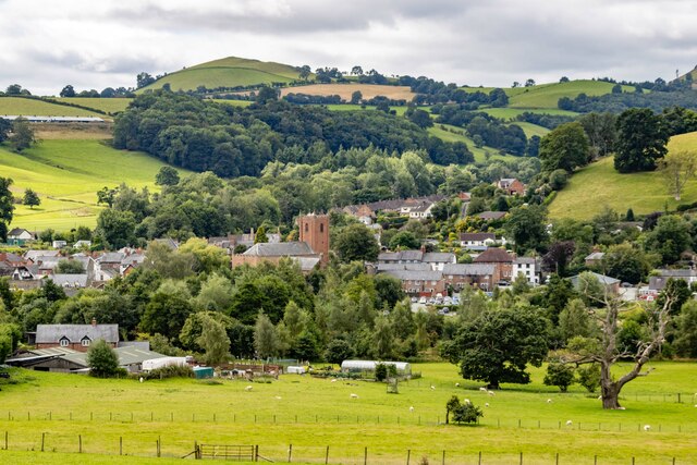
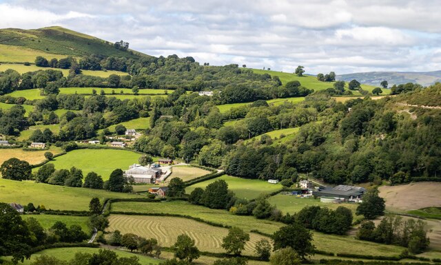
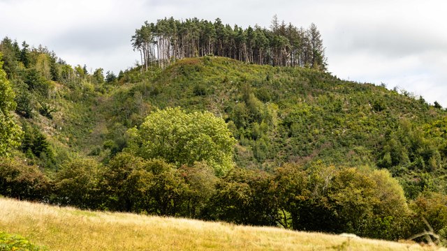
Allt y Gader is a hill located in Montgomeryshire, Wales. It forms part of the Cambrian Mountains range and offers stunning views of the surrounding countryside. The hill rises to an elevation of approximately 481 meters (1,578 feet) above sea level.

Allt y Gader is a popular destination for hikers and outdoor enthusiasts, with a number of walking trails and paths leading to the summit. The hill is known for its diverse flora and fauna, including a variety of wildflowers, birds, and small mammals.

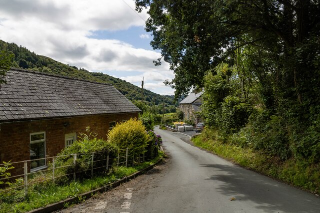
The landscape surrounding Allt y Gader is characterized by rolling green hills, wooded areas, and meandering streams. The hill is also home to several archaeological sites, including the remains of ancient settlements and burial mounds.

Overall, Allt y Gader offers visitors the opportunity to explore the natural beauty and rich history of Montgomeryshire. Whether hiking to the summit or simply enjoying a leisurely walk through the countryside, this hill provides a peaceful and picturesque setting for outdoor activities.

If you have any feedback on the listing, please let us know in the comments section below.
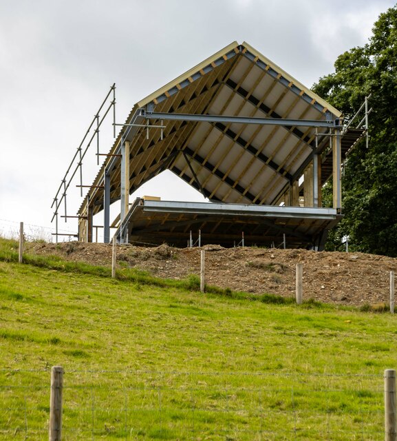
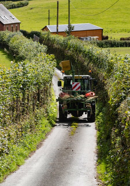
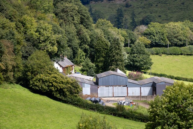
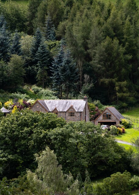
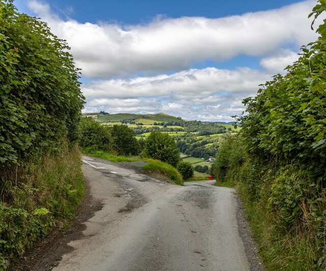
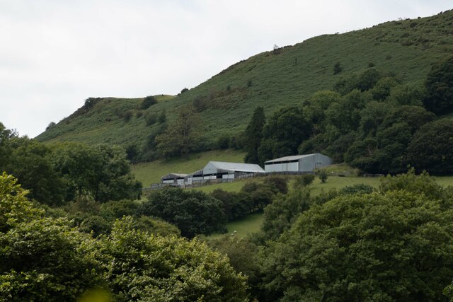
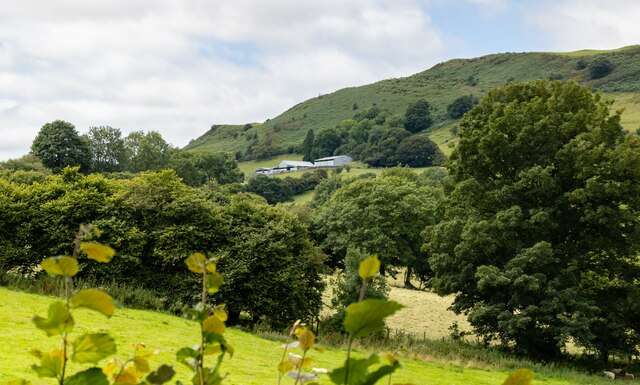
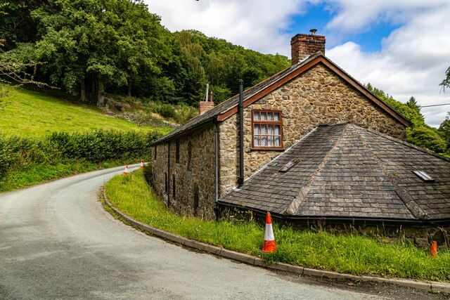
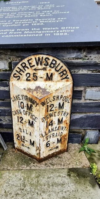
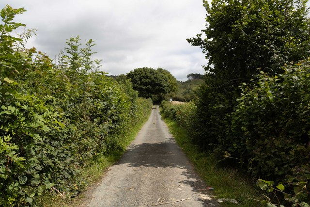
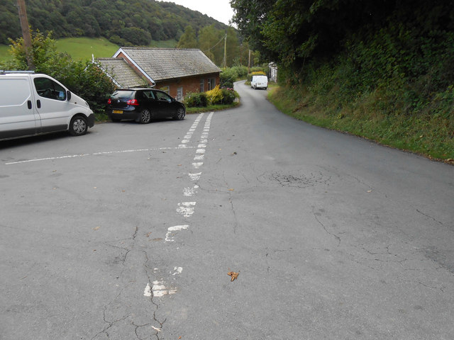
Allt y Gader Images

Images are sourced within 2km of 52.750046/-3.2623092 or Grid Reference SJ1417. Thanks to Geograph Open Source API. All images are credited.

Ordnance Survey Cut Mark This OS cut mark can be found on the wall SW side of the road. It marks a point 123.597m above mean sea level.
Ordnance Survey Cut Mark
This OS cut mark can be found on the wall SW side of the road. It marks a point 123.597m above mean sea level.
Llanfyllin View over Llanfyllin.
Llanfyllin
View over Llanfyllin.
New House New house under construction near Bachie Ganol.
New House
New house under construction near Bachie Ganol.
Chapel Chapel in Llanfyllin.
Chapel
Chapel in Llanfyllin.
Plas Houses at Plas.
Plas
Houses at Plas.
Fron Haul View looking across the valley to Fron Haul Farm.
Fron Haul
View looking across the valley to Fron Haul Farm.
Fron Haul Tractor near Fron Haul Farm.
Fron Haul
Tractor near Fron Haul Farm.
Stud Farm
Stud Farm
The Larches
The Larches
Bwlch-y-Garedd Road junction near Bwlch-y-Garedd.
Bwlch-y-Garedd
Road junction near Bwlch-y-Garedd.
Allt-Goch
Allt-Goch
Allt-Goch
Allt-Goch
Old Milestone by the A490, High Street, Llanfyllin By the A490, in parish of Llanfyllin (Powys District), Market Square, Llanfyllin, in front of commemorative stone and memorial.

Inscription reads:- : LAKE VYRNWY / 10-M / CANN OFFICE / 12-M / BALA / 21¾-M {arrow} : : SHREWSBURY / {arrow} / 25-M : : WELSHPOOL / 12-M / OSWESTRY / 14-M / LLANSAINT- / -FFRAID / 6-M / {arrow} : 

Milestone Society National ID: MOT_LFSA00
Old Milestone by the A490, High Street, Llanfyllin
By the A490, in parish of Llanfyllin (Powys District), Market Square, Llanfyllin, in front of commemorative stone and memorial. Inscription reads:- : LAKE VYRNWY / 10-M / CANN OFFICE / 12-M / BALA / 21¾-M {arrow} : : SHREWSBURY / {arrow} / 25-M : : WELSHPOOL / 12-M / OSWESTRY / 14-M / LLANSAINT- / -FFRAID / 6-M / {arrow} : Milestone Society National ID: MOT_LFSA00
Lluest Lane
Lluest Lane
Allt y Gadar
Allt y Gadar
Cwm Nant y Meichiaid communication centre Other than shear rural loveliness, there is not much to see at Cwm Nant-y-Meichiaid.  I will shortly post photos from the hills round-abouts - and also the 180 degree view from this defunct phonebox.
Cwm Nant y Meichiaid communication centre
Other than shear rural loveliness, there is not much to see at Cwm Nant-y-Meichiaid. I will shortly post photos from the hills round-abouts - and also the 180 degree view from this defunct phonebox.
Cwm Nant-y-Meichiaid city centre Rush hour in Cwm Nant-y-Meichiaid.  This photo 180 degrees from my photo of the phone box (behind me).  The valley is gorgeous, but you have to get up high to appreciate it properly.
Cwm Nant-y-Meichiaid city centre
Rush hour in Cwm Nant-y-Meichiaid. This photo 180 degrees from my photo of the phone box (behind me). The valley is gorgeous, but you have to get up high to appreciate it properly.
Show me another place!

Allt y Gader is located at Grid Ref: SJ1417 (Lat: 52.750046, Lng: -3.2623092)

Unitary Authority: Powys

Police Authority: Dyfed Powys

What 3 Words

///storage.toward.electrode. Near Llanfyllin, Powys

Related Wikis

Llanfyllin railway station

Llanfyllin railway station is the former terminal station of the Llanfyllin Branch of Cambrian Railways, which served the town of Llanfyllin in Powys,...
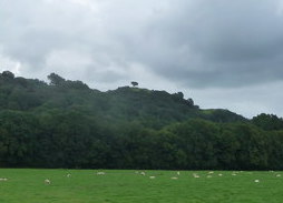
Lonely Tree

The Lonely Tree was a Scots pine on a hill near Llanfyllin, Powys, Wales. Visible from much of the town it was a local landmark with several traditions...

Llanfyllin High School

Llanfyllin High School (Welsh: Ysgol Uwchradd Llanfyllin) was a bilingual secondary school situated in the mid-Wales town of Llanfyllin. As of its final...

Llanfyllin

Llanfyllin (Welsh pronunciation: [ɬanˈvəɬɪn] – ) is a market town and community in Powys, Wales. The town population in 2021 was 1,586 and the town's...

Nearby Amenities

Located within 500m of 52.750046,-3.2623092
Allt Y Gadair
Ele: 334
Natural: peak
Lat/Long: 52.7498743/-3.262418
Man Made: mast
Lat/Long: 52.7533305/-3.2598919
The data included in this document is from www.openstreetmap.org. The data is made available under ODbL.

Have you been to Allt y Gader?

Leave your review of Allt y Gader below (or comments, questions and feedback).