Lluest Larches
Wood, Forest in Montgomeryshire
Wales
Lluest Larches
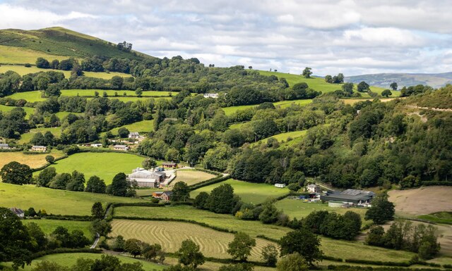
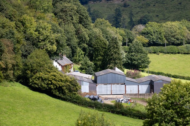
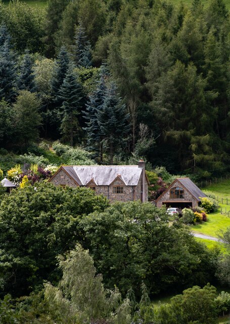
Lluest Larches is a picturesque woodland located in Montgomeryshire, Wales. This enchanting forest covers an area of approximately 100 acres and is known for its abundance of larch trees, hence the name. The woodland is situated in a rural and tranquil setting, making it a popular destination for nature lovers and outdoor enthusiasts.
The larch trees, which are native to the area, dominate the landscape and provide a stunning display of vibrant colors throughout the seasons. In spring, the forest comes alive with fresh green foliage, while in autumn, the leaves turn into a golden hue, creating a mesmerizing spectacle. The tall and straight trunks of the larch trees form a dense canopy, allowing only dappled sunlight to filter through, creating a serene and serene atmosphere within the woods.
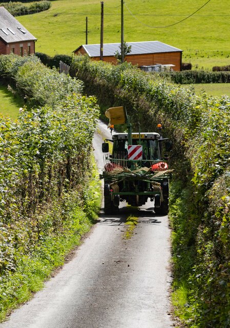
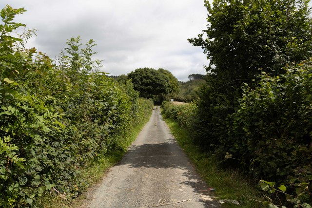
Lluest Larches offers a variety of walking trails, allowing visitors to explore the woodland at their own pace. The paths wind through the forest, taking hikers past babbling brooks, wildflower meadows, and moss-covered rocks. The sound of birdsong fills the air, and occasional glimpses of wildlife, such as squirrels and deer, add to the magic of the experience.
The woodland is also home to a diverse range of plant and animal species, including various species of fungi, mosses, and ferns. This makes Lluest Larches an excellent destination for nature enthusiasts and photographers, who can capture the beauty and diversity of the forest.
Overall, Lluest Larches is a captivating woodland that offers a peaceful retreat from the hustle and bustle of everyday life. Its natural beauty and tranquil atmosphere make it a must-visit destination for those seeking solace and a connection with nature.
If you have any feedback on the listing, please let us know in the comments section below.
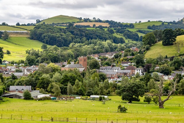
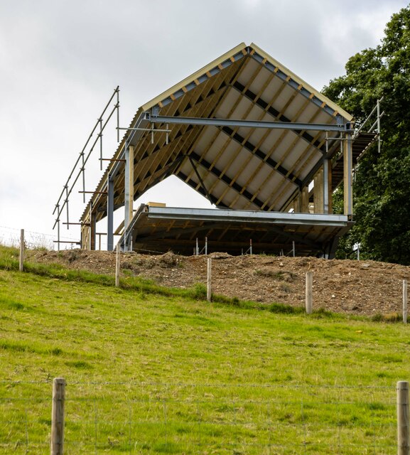
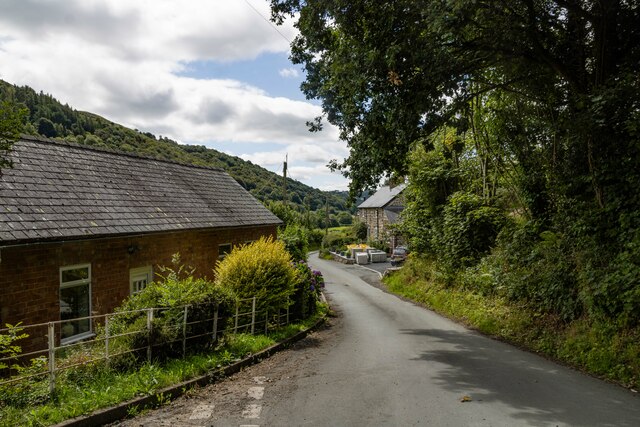
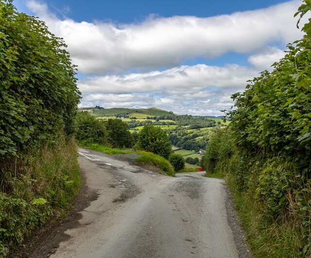
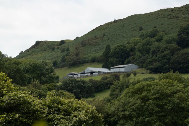
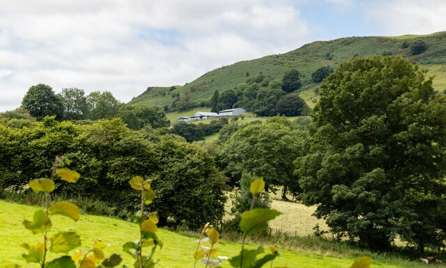
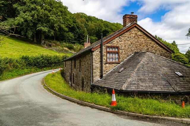
Lluest Larches Images
Images are sourced within 2km of 52.751661/-3.2677046 or Grid Reference SJ1417. Thanks to Geograph Open Source API. All images are credited.


Lluest Larches is located at Grid Ref: SJ1417 (Lat: 52.751661, Lng: -3.2677046)
Unitary Authority: Powys
Police Authority: Dyfed Powys
What 3 Words
///campsites.forgets.broke. Near Llanfyllin, Powys
Nearby Locations
Related Wikis

Llanfyllin High School
Llanfyllin High School (Welsh: Ysgol Uwchradd Llanfyllin) was a bilingual secondary school situated in the mid-Wales town of Llanfyllin. As of its final...

Llanfyllin railway station
Llanfyllin railway station is the former terminal station of the Llanfyllin Branch of Cambrian Railways, which served the town of Llanfyllin in Powys,...
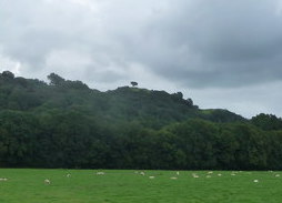
Lonely Tree
The Lonely Tree was a Scots pine on a hill near Llanfyllin, Powys, Wales. Visible from much of the town it was a local landmark with several traditions...

Llanfyllin
Llanfyllin (Welsh pronunciation: [ɬanˈvəɬɪn] – ) is a market town and community in Powys, Wales. The town population in 2021 was 1,586 and the town's...
Nearby Amenities
Located within 500m of 52.751661,-3.2677046Have you been to Lluest Larches?
Leave your review of Lluest Larches below (or comments, questions and feedback).