Howthat Hill

Hill, Mountain in Dumfriesshire

Scotland

Howthat Hill
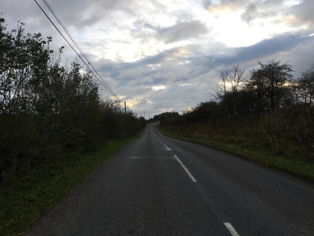
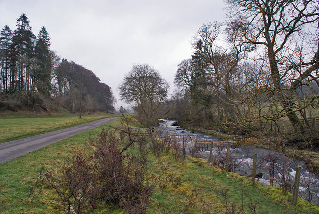
B723 towards Lockerbie
B723 towards Lockerbie Credit: Steven Brown

Howthat Hill is a prominent hill located in Dumfriesshire, Scotland. It is a part of the Southern Uplands range and stands at an elevation of 469 meters (1,539 feet) above sea level. The hill offers stunning panoramic views of the surrounding countryside, including the rolling hills and valleys of Dumfriesshire.

The summit of Howthat Hill is easily accessible to hikers and walkers, with a well-defined trail leading to the top. The terrain is mostly grassy and heathery, making it a relatively easy climb for visitors of all skill levels. On a clear day, visitors can see as far as the Solway Firth and the Lake District in England from the summit.

The hill is also known for its diverse flora and fauna, with a variety of wildflowers, birds, and other wildlife inhabiting the area. It is a popular spot for nature enthusiasts and birdwatchers looking to observe the local wildlife in its natural habitat.

Overall, Howthat Hill is a picturesque destination for outdoor enthusiasts seeking a peaceful escape in the heart of Dumfriesshire's beautiful countryside.

If you have any feedback on the listing, please let us know in the comments section below.

Howthat Hill Images

Images are sourced within 2km of 55.206368/-3.3389 or Grid Reference NY1491. Thanks to Geograph Open Source API. All images are credited.
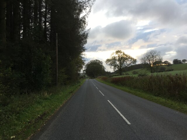
B723 towards Lockerbie
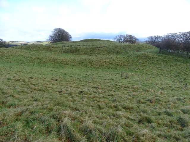
Broom Hill Fort A view of the Broom Hill fort from the south-west.
Broom Hill Fort
A view of the Broom Hill fort from the south-west.
View southwest towards Hazlebank from road between Boreland & Wamphreygate
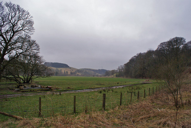
Farmland at Berryscaur Looking south from the side of the B723.
Farmland at Berryscaur
Looking south from the side of the B723.
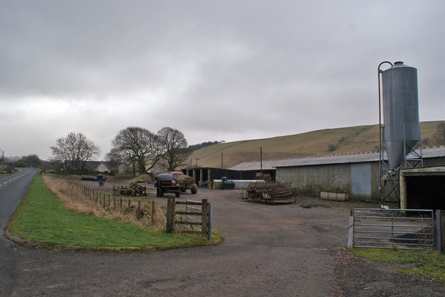
Farm buildings at Berryscaur The road on the left is the B723
Farm buildings at Berryscaur
The road on the left is the B723
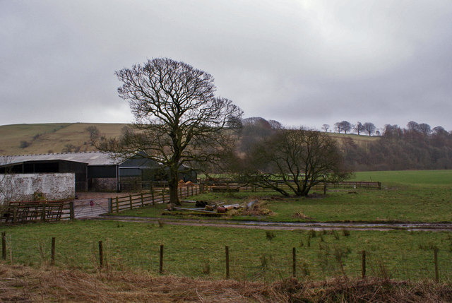
Berryscaur Farm buildings and farmland, viewed from the side of the B732.
Berryscaur
Farm buildings and farmland, viewed from the side of the B732.
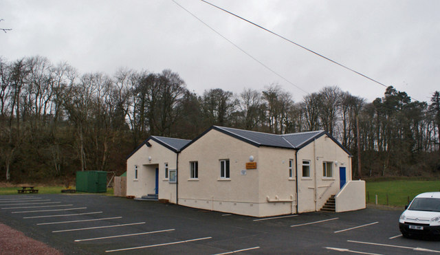
Boreland Village Hall The community owned hall was built in the early 1950s. A three-phase refurbishment project was completed in October 2012. The first two phases upgraded the heating and existing kitchen, while the third phase was to build an extension (here, the part of the building closest to the camera) which houses new toilet facilities, storeroom and cloakroom.
Boreland Village Hall
The community owned hall was built in the early 1950s. A three-phase refurbishment project was completed in October 2012. The first two phases upgraded the heating and existing kitchen, while the third phase was to build an extension (here, the part of the building closest to the camera) which houses new toilet facilities, storeroom and cloakroom.
Dryfe Water Looking upstream from close to Boreland village hall. The road on the left is a farm access road.
Dryfe Water
Looking upstream from close to Boreland village hall. The road on the left is a farm access road.
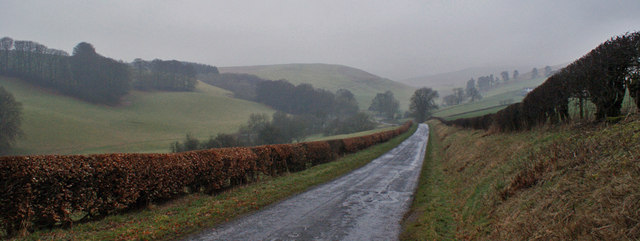
Unclassified road towards Moffat This minor road, neatly hedged at this point, makes its way through rolling hills from Boreland to Moffat.
Unclassified road towards Moffat
This minor road, neatly hedged at this point, makes its way through rolling hills from Boreland to Moffat.
Caldwell Burn Looking north - upstream. The photographer is standing on a bridge carrying an unclassified road.
Caldwell Burn
Looking north - upstream. The photographer is standing on a bridge carrying an unclassified road.
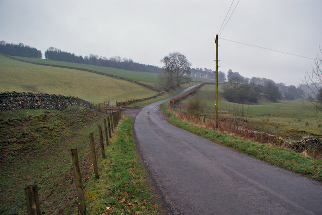
Road towards Boreland The unclassified road connects Boreland and Moffat.
Road towards Boreland
The unclassified road connects Boreland and Moffat.
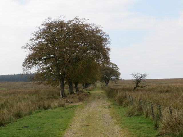
Track leading to Newbigging Hill Looking westward.
Track leading to Newbigging Hill
Looking westward.
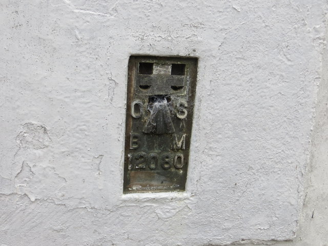
Ordnance Survey Flush Bracket 12080 This can be found on the wall of a private dwelling at Berryscaur.
For more detail see : <span class="nowrap"><a title="http://www.bench-marks.org.uk/bm22748" rel="nofollow ugc noopener" href="http://www.bench-marks.org.uk/bm22748">Link</a><img style="margin-left:2px;" alt="External link" title="External link - shift click to open in new window" src="https://s1.geograph.org.uk/img/external.png" width="10" height="10"/></span>
Ordnance Survey Flush Bracket 12080
This can be found on the wall of a private dwelling at Berryscaur. For more detail see : LinkExternal link
B723 towards Lockerbie
B723 near Sibbaldbie
Cacrabank Hill View between two plantations towards Cacrabank Hill.
Cacrabank Hill
View between two plantations towards Cacrabank Hill.
Winshields Hill There is some hard standing on this hill pasture, a result of being used as an artillery range.
Winshields Hill
There is some hard standing on this hill pasture, a result of being used as an artillery range.
Shankend Hill farm under Brunt Fell.
Shankend
Hill farm under Brunt Fell.
Show me another place!

Howthat Hill is located at Grid Ref: NY1491 (Lat: 55.206368, Lng: -3.3389)

Unitary Authority: Dumfries and Galloway

Police Authority: Dumfries and Galloway

What 3 Words

///thinker.boost.destroyer. Near Johnstonebridge, Dumfries & Galloway

Related Wikis

Boreland

Boreland is a village in Dumfries and Galloway, Scotland, which is located in Dryfesdale about 7 miles (11 kilometres) north of Lockerbie on the B723 road...

Sibbaldbie

Sibbaldbie is a small village in Annandale, Dumfries and Galloway, Scotland. == References ==

Dinwoodie railway station

Dinwoodie railway station was a station which served the rural area around the settlement of Dinwoodie, 6 miles north of Lockerbie in Applegarth parish...

Annandale Water services

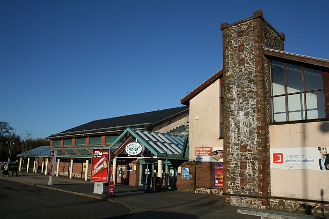
Annandale Water services is a motorway service station in the village of Johnstonebridge, Scotland. The service station is located next to the A74(M) motorway...

Nearby Amenities

Located within 500m of 55.206368,-3.3389
Design: barrel
Power: tower
Lat/Long: 55.2054257/-3.3451267
Design: barrel
Power: tower
Lat/Long: 55.2033302/-3.3444175
The data included in this document is from www.openstreetmap.org. The data is made available under ODbL.

Have you been to Howthat Hill?

Leave your review of Howthat Hill below (or comments, questions and feedback).