Erie Hill
Hill, Mountain in Peeblesshire
Scotland
Erie Hill
Erie Hill is a prominent geographical feature located in Peeblesshire, a historic county in the southern region of Scotland. Standing at an elevation of approximately 452 meters (1,483 feet), it is classified as a hill or mountain, offering breathtaking views of the surrounding countryside.
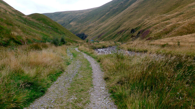
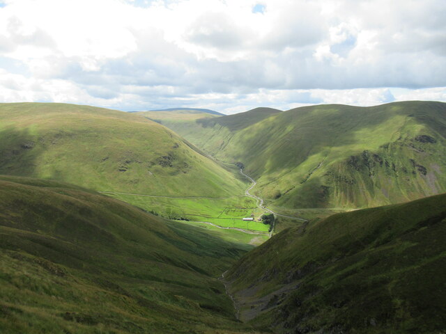
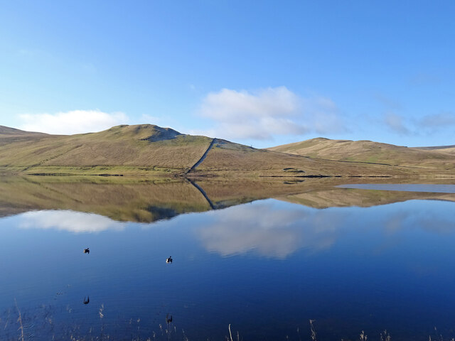
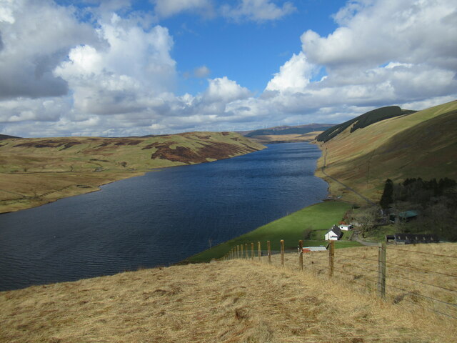
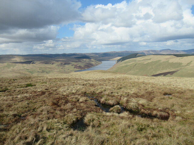
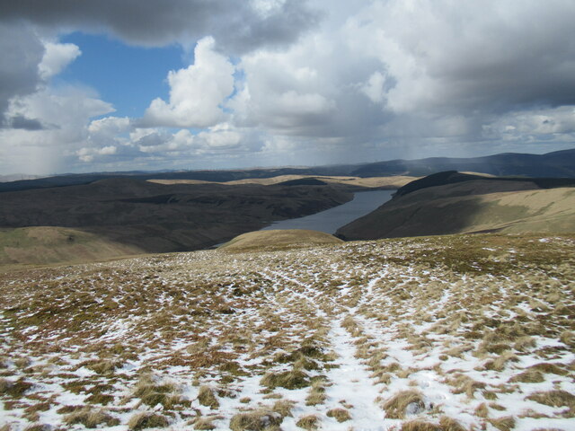
Situated within the broader Scottish Borders region, Erie Hill is a popular destination for outdoor enthusiasts and nature lovers. Its distinct shape and position make it a prominent landmark in the area, visible from miles away. The hill is known for its rugged terrain, with steep slopes and rocky outcrops that provide a challenging yet rewarding hiking experience.
The vegetation on Erie Hill is diverse, with a mix of heather, grasses, and scattered woodland covering its slopes. This creates a picturesque landscape, especially during the blooming season when the hillside is carpeted with vibrant colors. The hill also supports a variety of wildlife, including birds of prey, such as kestrels and buzzards, as well as smaller mammals like rabbits and hares.
For those seeking adventure, Erie Hill offers opportunities for climbing, bouldering, and orienteering. Its strategic location near the town of Peebles means that it is easily accessible, making it a popular spot for both locals and tourists. The hill also forms part of several walking trails, allowing visitors to explore the surrounding countryside and enjoy the panoramic views from its summit.
Overall, Erie Hill in Peeblesshire is a natural gem in the Scottish Borders, offering a stunning landscape, diverse wildlife, and exciting outdoor activities for all to enjoy.
If you have any feedback on the listing, please let us know in the comments section below.
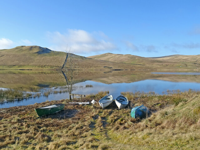
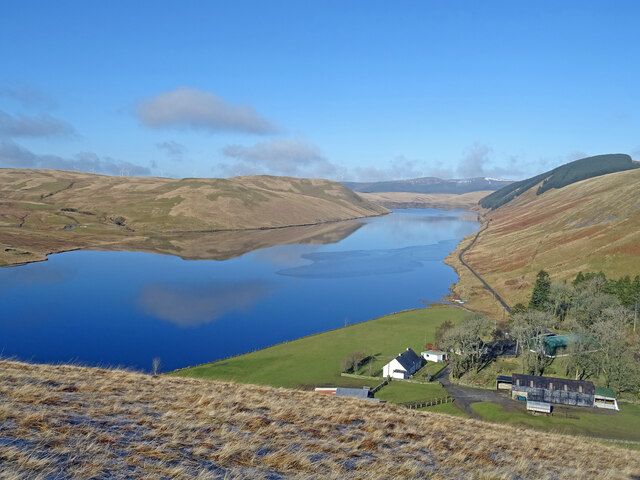
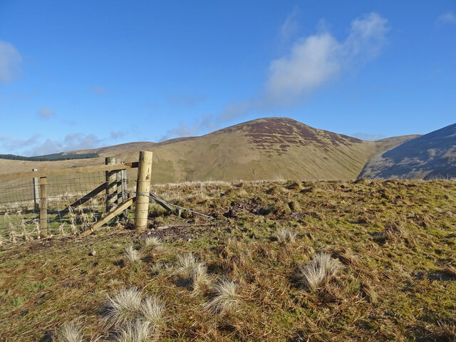
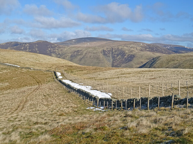
Erie Hill Images
Images are sourced within 2km of 55.454631/-3.3863733 or Grid Reference NT1218. Thanks to Geograph Open Source API. All images are credited.


Erie Hill is located at Grid Ref: NT1218 (Lat: 55.454631, Lng: -3.3863733)
Unitary Authority: The Scottish Borders
Police Authority: The Lothians and Scottish Borders
What 3 Words
///scooter.riverbank.survived. Near Moffat, Dumfries & Galloway
Nearby Locations
Related Wikis

Talla Water
Talla Water is a river in the Scottish Borders area of Scotland, near Tweedsmuir. It feeds the Talla Reservoir, and is a tributary of the River Tweed....

Fruid Reservoir
Fruid is a small reservoir in the Scottish Borders area of Scotland, UK, near Menzion. It is formed by damming the Fruid Water, and supplements the contents...

Talla Reservoir
Talla Reservoir, located a mile from Tweedsmuir, Scottish Borders, Scotland, is an earth-work dam fed by Talla Water. The reservoir is supplemented by...

Moffat Hills
The Moffat Hills are a range of hills in the Southern Uplands of Scotland. They form a roughly triangular shape with a west facing side, a north facing...
Have you been to Erie Hill?
Leave your review of Erie Hill below (or comments, questions and feedback).