Din Law

Hill, Mountain in Peeblesshire

Scotland

Din Law

Hartfell Rigg Rolling moorland at the head of Black Hope. Centre right is the peak of Saddle Yoke.
Hartfell Rigg Credit: Robert Struthers

Din Law, located in Peeblesshire, Scotland, is a prominent hill/mountain that rises to an elevation of approximately 461 meters (1,512 feet) above sea level. It is situated in the southern part of the Scottish Borders region, near the town of Innerleithen.

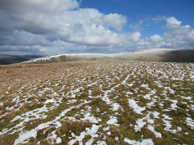
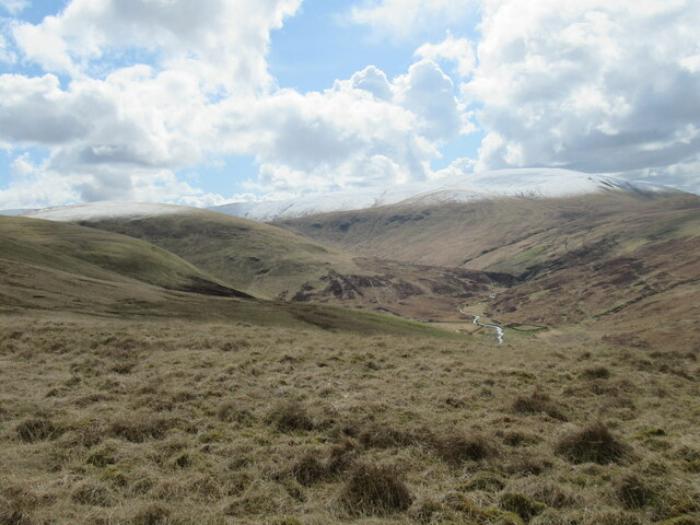
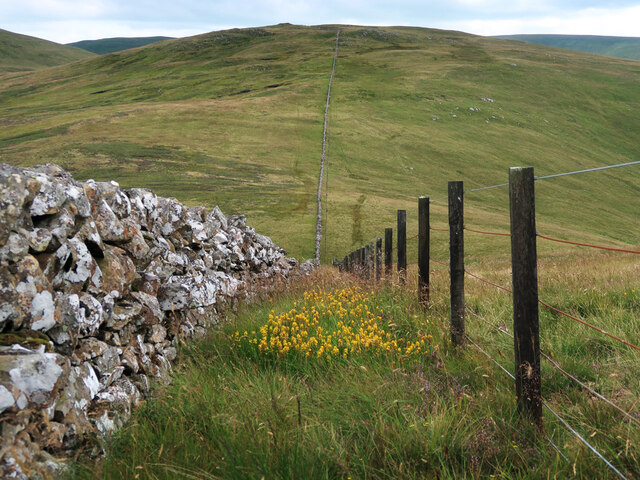
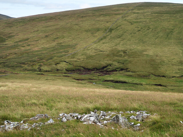
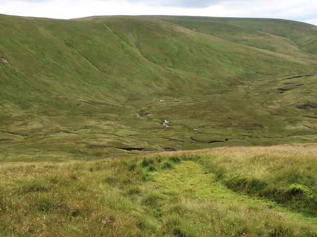
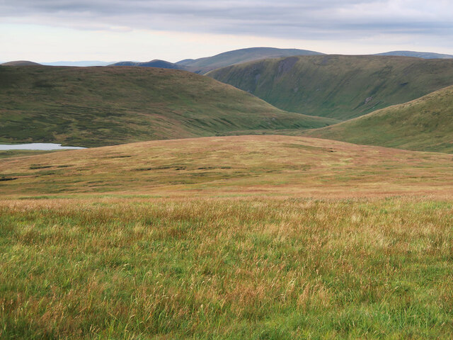
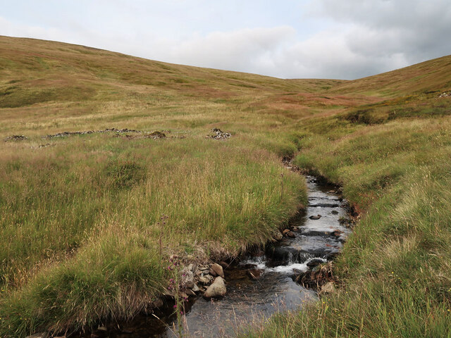
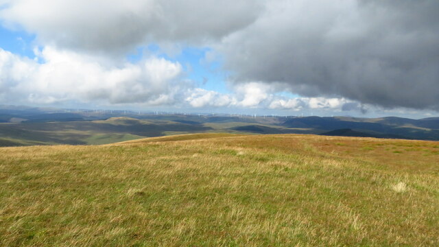
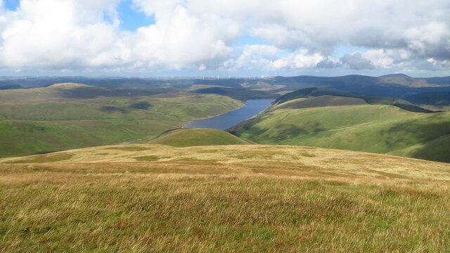
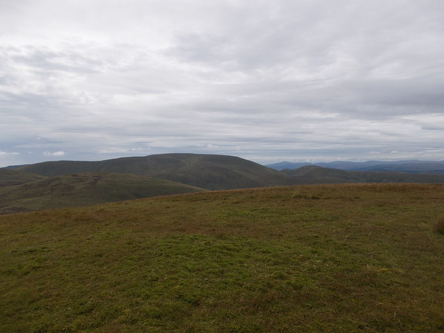
Din Law is a stunning natural landmark characterized by its distinctive conical shape and lush green surroundings. It offers breathtaking panoramic views of the surrounding countryside, including the rolling hills, valleys, and the picturesque Tweed Valley. The hill/mountain is a popular destination for hikers, nature enthusiasts, and photographers due to its accessibility and scenic beauty.

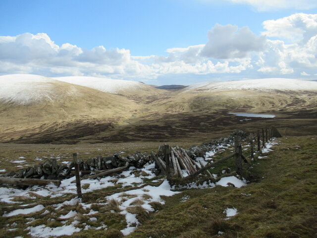
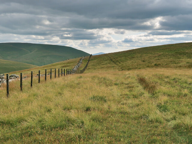
The ascent to the summit of Din Law is relatively moderate, making it suitable for individuals of various fitness levels. The well-defined paths and trails ensure a safe and enjoyable hiking experience. As one climbs higher, the landscape transforms into a mix of heather-covered moorland and patches of woodland, adding to the charm of the area.

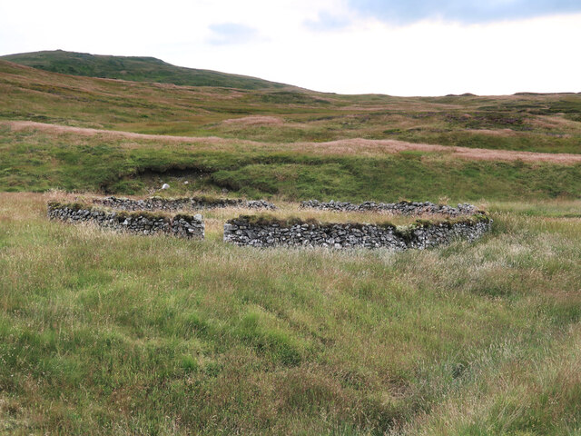
Din Law is also known for its rich biodiversity. The hill/mountain is home to an array of flora and fauna, including heather, ferns, and various species of birds. It serves as an important habitat for wildlife and provides a refuge for several protected species.

The hill/mountain is easily accessible by road, with ample parking available nearby. Its proximity to Innerleithen means that visitors can easily combine a trip to Din Law with a visit to the town's amenities, including shops, cafes, and accommodation options.

Overall, Din Law is a magnificent natural landmark that offers visitors a chance to immerse themselves in the stunning natural beauty of Peeblesshire while providing recreational opportunities for outdoor enthusiasts.

If you have any feedback on the listing, please let us know in the comments section below.

Din Law Images

Images are sourced within 2km of 55.427154/-3.3852995 or Grid Reference NT1215. Thanks to Geograph Open Source API. All images are credited.

Hartfell Rigg Rolling moorland at the head of Black Hope. Centre right is the peak of Saddle Yoke.
Hartfell Rigg
Rolling moorland at the head of Black Hope. Centre right is the peak of Saddle Yoke.
Summit plateau on Garelet Dod Carlavin Hill and Molls Cleuch Dod are visible in the distance. As often seems to happen in April, a warm spell has given way to the return of cold northerly winds and wintry showers.
Summit plateau on Garelet Dod
Carlavin Hill and Molls Cleuch Dod are visible in the distance. As often seems to happen in April, a warm spell has given way to the return of cold northerly winds and wintry showers.
Looking into the upper Games Hope Gameshope Loch is visible in the distance, with snow-covered hillsides above 600m. or so, during a spell of  cold spring weather with northerly winds and wintry showers.
Looking into the upper Games Hope
Gameshope Loch is visible in the distance, with snow-covered hillsides above 600m. or so, during a spell of cold spring weather with northerly winds and wintry showers.
The upper Fruid Water from Strawberry Hill Looking towards the Hart Fell group of hills, where a spell of cold northerly winds with snow showers has left decent snow cover above 600m. or so.
The upper Fruid Water from Strawberry Hill
Looking towards the Hart Fell group of hills, where a spell of cold northerly winds with snow showers has left decent snow cover above 600m. or so.
Fence and Dyke on Garelet Dod On the boundary of the Borders Forest Trust land.
Fence and Dyke on Garelet Dod
On the boundary of the Borders Forest Trust land.
Dyke and Fence between Garelet Dod and Din Law On the boundary of the Borders Forest Trust land.
Dyke and Fence between Garelet Dod and Din Law
On the boundary of the Borders Forest Trust land.
Boggy col between Din Law and Cape Law
Back Burn below Hartfell Rig The start of the Fruid Water viewed from Cape Law.
Back Burn below Hartfell Rig
The start of the Fruid Water viewed from Cape Law.
Loch Hill above Gameshope Loch Not looking much like a hill from this viewpoint on Cape Law.
Loch Hill above Gameshope Loch
Not looking much like a hill from this viewpoint on Cape Law.
The unnamed small burn in Ether Cleuch And an old, overgrown sheepfold on the right.
The unnamed small burn in Ether Cleuch
And an old, overgrown sheepfold on the right.
Old sheepfold beside the Games Hope Burn Looking towards Din Law.
Old sheepfold beside the Games Hope Burn
Looking towards Din Law.
Featureless summit of Garelet Dod - view towards Clyde Wind Farm There is no cairn to mark this summit.
Featureless summit of Garelet Dod - view towards Clyde Wind Farm
There is no cairn to mark this summit.
On Garelet Dod - slope leading down to Strawberry Hill & Fruid Reservoir Featureless western slope but the terrain is easy to walk.
On Garelet Dod - slope leading down to Strawberry Hill & Fruid Reservoir
Featureless western slope but the terrain is easy to walk.
Cape Law (Donald) Summit of Cape Law (fence corner) NT 13121 15076
Cape Law (Donald)
Summit of Cape Law (fence corner) NT 13121 15076
Brad Moss View of Brad Moss with Gameshope Loch behind.
Brad Moss
View of Brad Moss with Gameshope Loch behind.
Summit of Garelet Dod Grassy summit area of the hill with Hart Fell in the distance.
Summit of Garelet Dod
Grassy summit area of the hill with Hart Fell in the distance.
Towards Stirk Craig Area of peat hags on the col between Hartfell Rig and Stirk Craig.
Towards Stirk Craig
Area of peat hags on the col between Hartfell Rig and Stirk Craig.
Towards Cape Law Fence and drystane dyke run up and over the Donald.
Towards Cape Law
Fence and drystane dyke run up and over the Donald.
Show me another place!

Din Law is located at Grid Ref: NT1215 (Lat: 55.427154, Lng: -3.3852995)

Unitary Authority: The Scottish Borders

Police Authority: The Lothians and Scottish Borders

What 3 Words

///fragments.publisher.code. Near Moffat, Dumfries & Galloway

Nearby Locations

Moffat Hills Din Law

Related Wikis

Moffat Hills

The Moffat Hills are a range of hills in the Southern Uplands of Scotland. They form a roughly triangular shape with a west facing side, a north facing...

Hart Fell

Hart Fell is a hill in the Moffat Hills range, part of the Southern Uplands of Scotland. It lies north of the town of Moffat on the border with the Scottish...

White Coomb

White Coomb is a hill in the Moffat Hills range, part of the Southern Uplands of Scotland. Its broad summit is the highest point in the range and the registration...

Loch Skeen

Loch Skeen or Loch Skene is a loch in Dumfries and Galloway in the south of Scotland. It is located about 10 miles to the north-east of Moffat and feeds...

Have you been to Din Law?

Leave your review of Din Law below (or comments, questions and feedback).