Common Law
Hill, Mountain in Peeblesshire
Scotland
Common Law
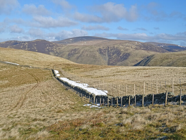
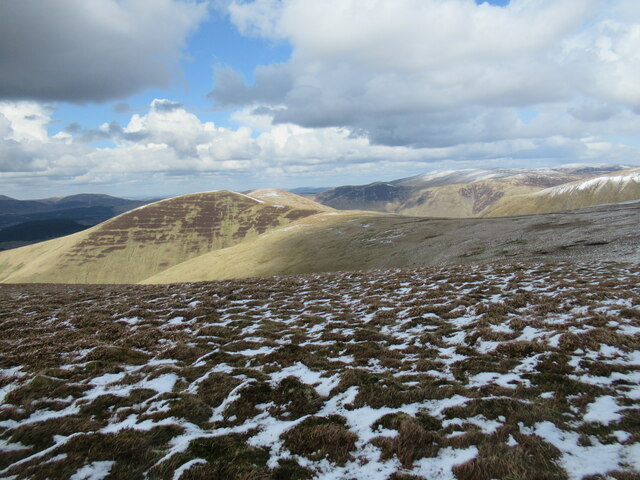
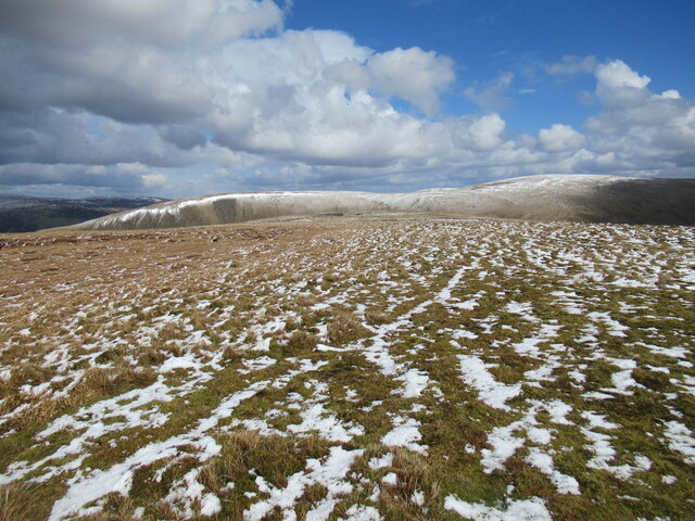
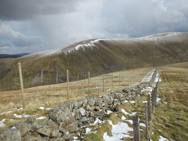
Common Law, Peeblesshire (Hill, Mountain) is a prominent geographical feature located in Peeblesshire, Scotland. Standing at an elevation of approximately 1,932 feet (589 meters), it is categorized as a hill or mountain depending on the classification system used.
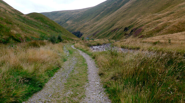
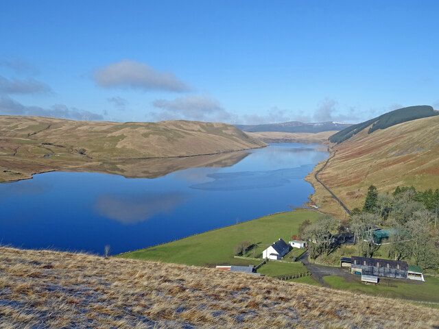
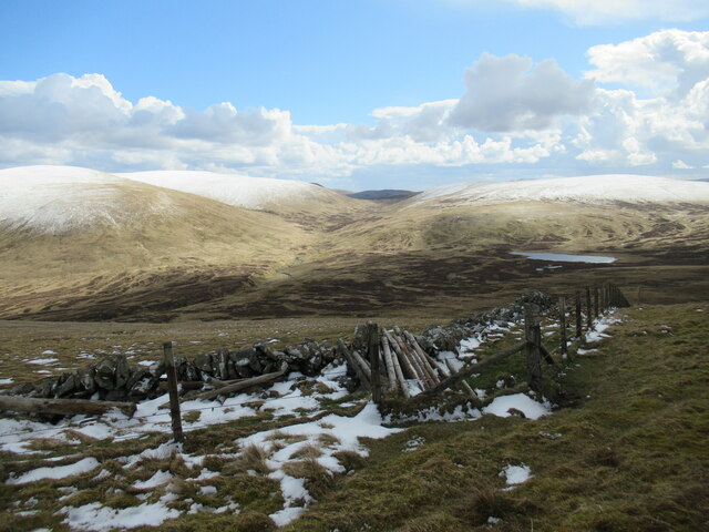
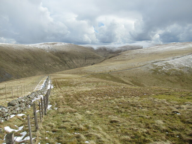
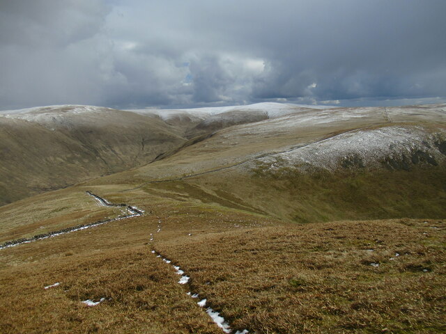
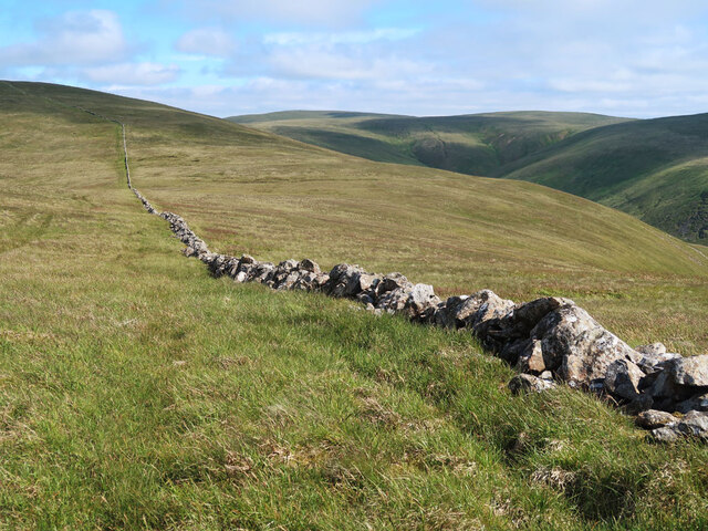
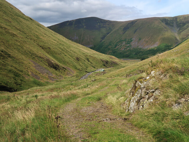
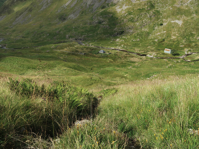
Situated in the southern region of the Scottish Borders, Common Law offers breathtaking panoramic views of the surrounding landscape. Its location within the picturesque Tweed Valley provides visitors with an opportunity to admire the rolling hills, lush green forests, and the majestic River Tweed meandering through the countryside.
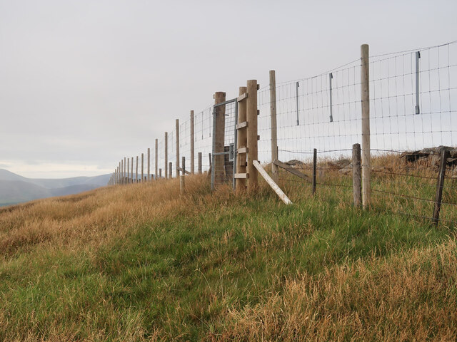
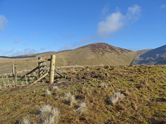
The ascent to the summit of Common Law is relatively moderate, making it accessible to hikers and nature enthusiasts of varying experience levels. The hill's distinct shape and prominent position make it a recognizable landmark in the area. While the summit is marked by a trig point, there are no man-made structures or facilities on Common Law, allowing visitors to immerse themselves in the tranquility of the natural environment.
Common Law is also known for its rich biodiversity, with a variety of plant and animal species inhabiting its slopes. The hill is home to heather moorland, grassy meadows, and scattered rocky outcrops, providing habitats for birds, small mammals, and insects.
Popular activities on Common Law include hillwalking, photography, and nature observation. The hill's accessibility, coupled with its stunning vistas, make it a favored destination for locals and tourists alike. Whether it's a leisurely stroll or a challenging hike, Common Law offers a rewarding experience for those seeking to connect with nature and enjoy the beauty of Peeblesshire's landscape.
If you have any feedback on the listing, please let us know in the comments section below.
Common Law Images
Images are sourced within 2km of 55.44959/-3.3815638 or Grid Reference NT1218. Thanks to Geograph Open Source API. All images are credited.

Common Law is located at Grid Ref: NT1218 (Lat: 55.44959, Lng: -3.3815638)
Unitary Authority: The Scottish Borders
Police Authority: The Lothians and Scottish Borders
What 3 Words
///manager.absent.eventful. Near Moffat, Dumfries & Galloway
Nearby Locations
Related Wikis

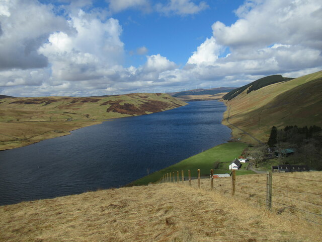
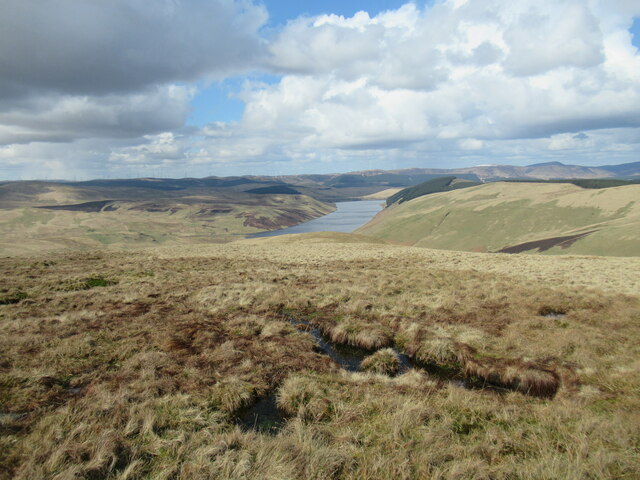
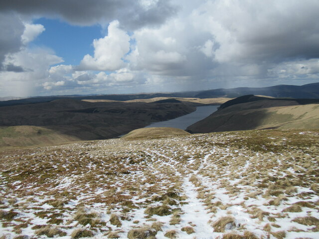
Talla Water
Talla Water is a river in the Scottish Borders area of Scotland, near Tweedsmuir. It feeds the Talla Reservoir, and is a tributary of the River Tweed....

Moffat Hills
The Moffat Hills are a range of hills in the Southern Uplands of Scotland. They form a roughly triangular shape with a west facing side, a north facing...

Fruid Reservoir
Fruid is a small reservoir in the Scottish Borders area of Scotland, UK, near Menzion. It is formed by damming the Fruid Water, and supplements the contents...

Talla Reservoir
Talla Reservoir, located a mile from Tweedsmuir, Scottish Borders, Scotland, is an earth-work dam fed by Talla Water. The reservoir is supplemented by...

Loch Skeen
Loch Skeen or Loch Skene is a loch in Dumfries and Galloway in the south of Scotland. It is located about 10 miles to the north-east of Moffat and feeds...

White Coomb
White Coomb is a hill in the Moffat Hills range, part of the Southern Uplands of Scotland. Its broad summit is the highest point in the range and the registration...

Hart Fell
Hart Fell is a hill in the Moffat Hills range, part of the Southern Uplands of Scotland. It lies north of the town of Moffat on the border with the Scottish...

Victoria Lodge railway station
Victoria Lodge railway station served the village of Tweedsmuir, Scottish Borders, Scotland from 1897 to 1905 on the Symington, Biggar and Broughton Railway...
Have you been to Common Law?
Leave your review of Common Law below (or comments, questions and feedback).