Gallow Knowe
Hill, Mountain in Peeblesshire
Scotland
Gallow Knowe
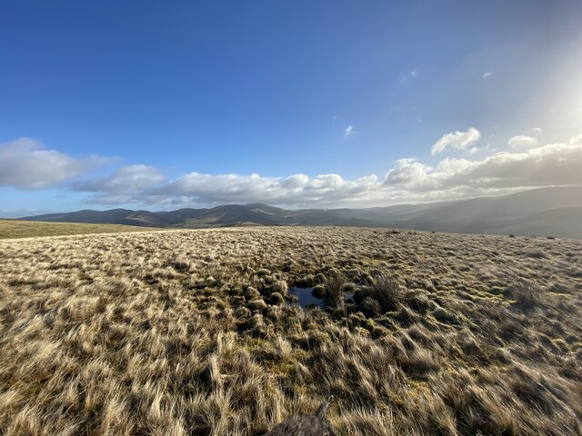
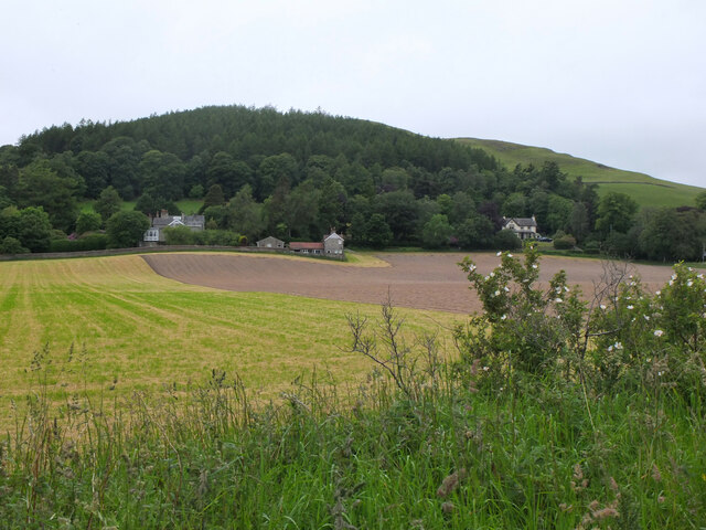
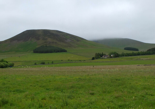
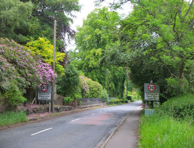
Gallow Knowe is a prominent hill located in Peeblesshire, Scotland. Situated in the southern uplands of the country, it is part of the mesmerizing landscape that characterizes this region. Gallow Knowe stands at an elevation of approximately 466 meters (1,529 feet) above sea level, making it a notable landmark in the area.
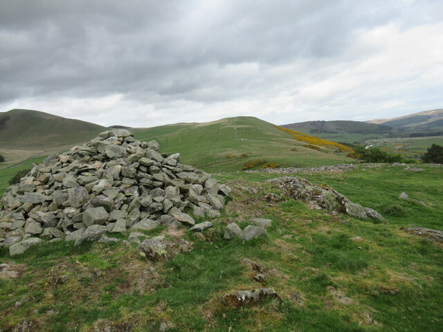
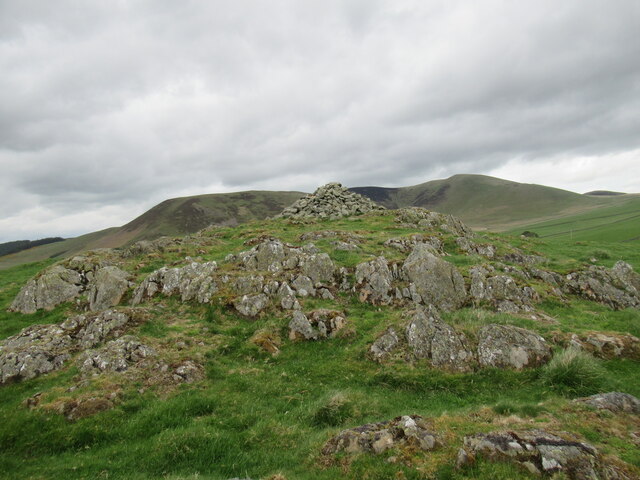
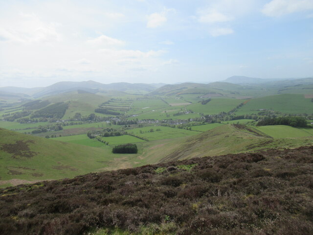
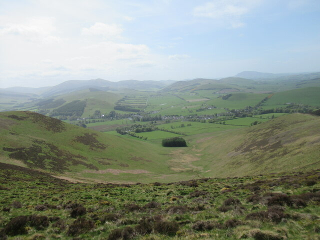
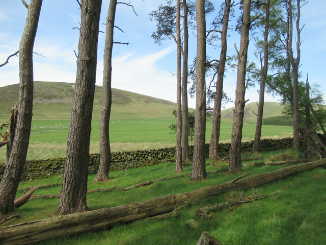
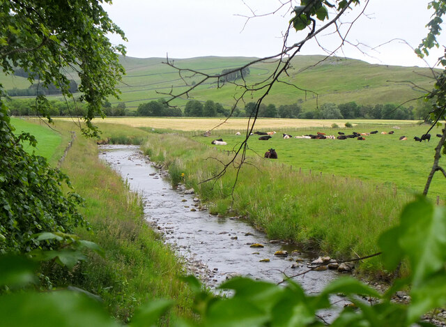
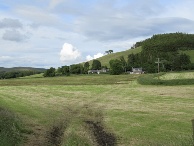
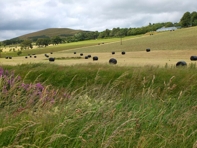
The hill is known for its distinctive shape, featuring a rounded summit that provides panoramic views of the surrounding countryside. Its slopes are covered with a mixture of heather, grasses, and scattered patches of woodland, creating a picturesque and diverse natural environment.
Gallow Knowe is a popular destination for outdoor enthusiasts, attracting hikers, walkers, and nature lovers. Several trails traverse its slopes, offering visitors the opportunity to explore its rich flora and fauna. The hill provides an excellent vantage point to admire the breathtaking scenery of Peeblesshire, with rolling hills, meandering rivers, and distant mountain ranges visible from its summit.
Additionally, Gallow Knowe holds historical significance. It is believed to have been a site of ancient settlements and activities, with remnants of prehistoric structures and artifacts occasionally discovered in the vicinity.
With its natural beauty, accessibility, and historical intrigue, Gallow Knowe is a significant landmark in Peeblesshire. Whether one seeks outdoor adventure, stunning vistas, or a glimpse into the region's past, this hill offers a captivating experience for all who visit.
If you have any feedback on the listing, please let us know in the comments section below.
Gallow Knowe Images
Images are sourced within 2km of 55.609109/-3.4097109 or Grid Reference NT1135. Thanks to Geograph Open Source API. All images are credited.
Gallow Knowe is located at Grid Ref: NT1135 (Lat: 55.609109, Lng: -3.4097109)
Unitary Authority: The Scottish Borders
Police Authority: The Lothians and Scottish Borders
What 3 Words
///frozen.detergent.braced. Near Biggar, South Lanarkshire
Nearby Locations
Related Wikis

Broughton railway station (Scotland)
Broughton railway station served the village of Broughton, Scottish Borders, Scotland from 1860 to 1950 on the Symington, Biggar and Broughton Railway...

Broughton, Glenholm and Kilbucho
Broughton, Glenholm and Kilbucho is a parish in Peeblesshire in the Scottish Borders, 11 miles south-west of Peebles, lying in the upper part of the valley...
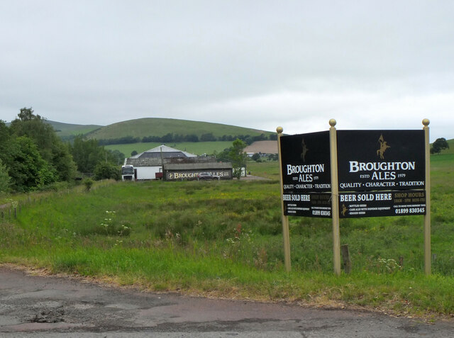
Broughton, Scottish Borders
Broughton is a village in Tweeddale in the historical county of Peeblesshire in the Scottish Borders council area, in the south of Scotland, in the civil...

Holms Water
The Holms Water is a river and a tributary of the Biggar Water, which is a tributary of the River Tweed, in the parish of Broughton, Glenholm and Kilbucho...
Nearby Amenities
Located within 500m of 55.609109,-3.4097109Have you been to Gallow Knowe?
Leave your review of Gallow Knowe below (or comments, questions and feedback).