Calzeat
Settlement in Peeblesshire
Scotland
Calzeat
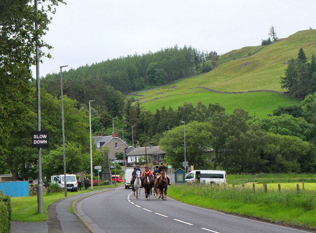
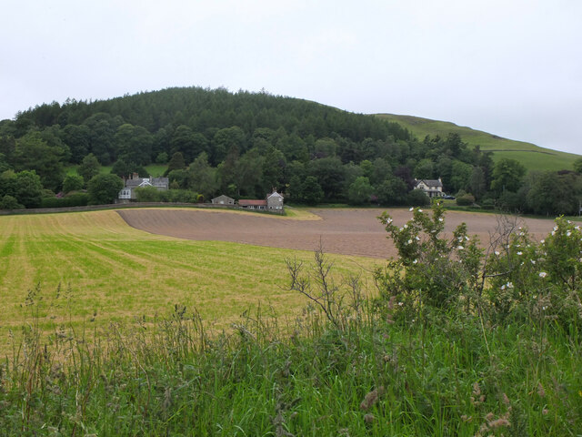
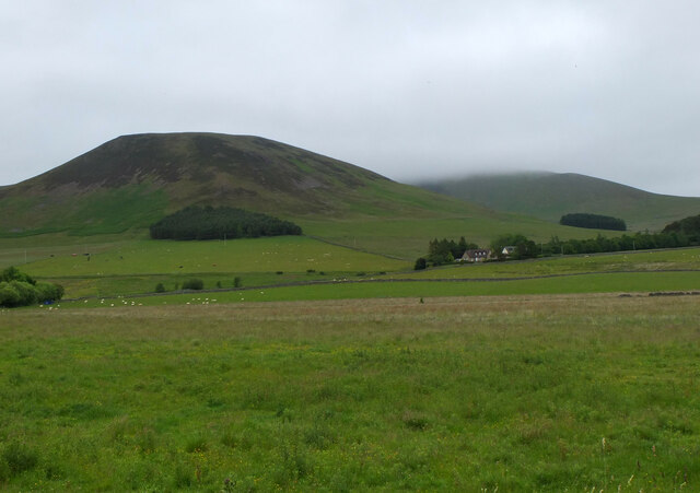
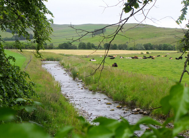
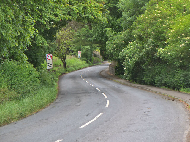
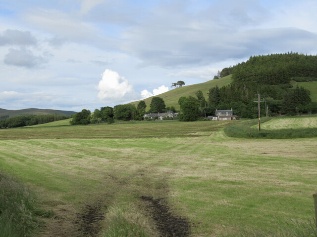
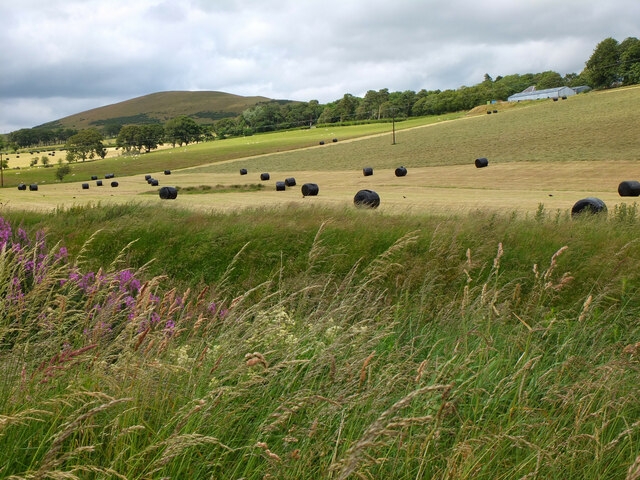
Calzeat is a small village located in the region of Peeblesshire, in the southern part of Scotland. Situated on the banks of the River Tweed, it is nestled amidst the picturesque Scottish Borders countryside. The village is renowned for its natural beauty, with rolling hills, lush green fields, and stunning views of the surrounding landscape.
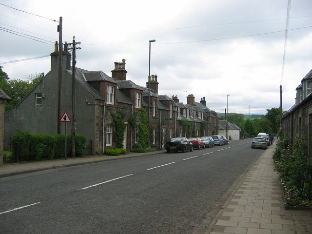
With a population of around 300 inhabitants, Calzeat has a close-knit community that values its peaceful and tranquil atmosphere. The village is primarily residential, with a mix of traditional stone cottages and modern houses. Its idyllic setting makes it a popular destination for those seeking a quiet retreat away from the hustle and bustle of city life.
Despite its small size, Calzeat boasts several amenities for its residents and visitors. There is a local primary school, a village hall, and a post office, providing essential services to the community. The River Tweed is a favorite spot for fishing enthusiasts, with salmon and trout being abundant in its waters. Additionally, the area offers various walking and cycling routes, allowing outdoor enthusiasts to explore the stunning countryside.
Calzeat is also known for its textile industry, with the Calzeat & Co. textile mill being a prominent feature of the village. The mill produces high-quality woven fabrics, specializing in tartans, tweeds, and other traditional Scottish textiles. This heritage adds to the charm of the village and attracts visitors who are interested in the history and craftsmanship of Scottish textiles.
Overall, Calzeat is a peaceful and scenic village, offering a charming rural experience and a close connection to nature in the heart of Peeblesshire.
If you have any feedback on the listing, please let us know in the comments section below.
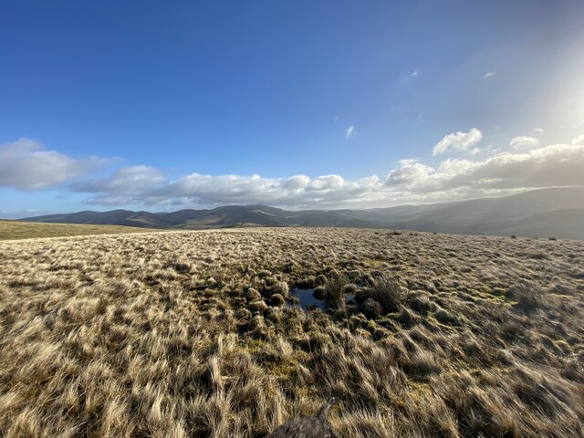
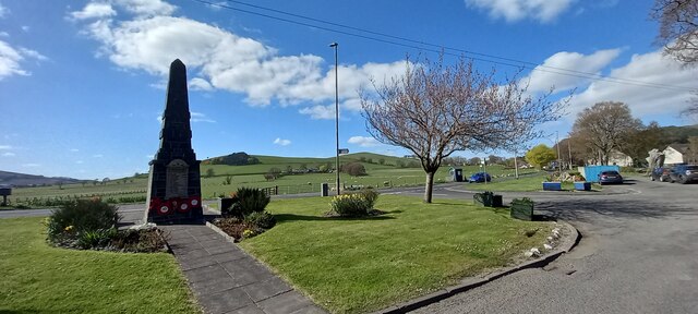
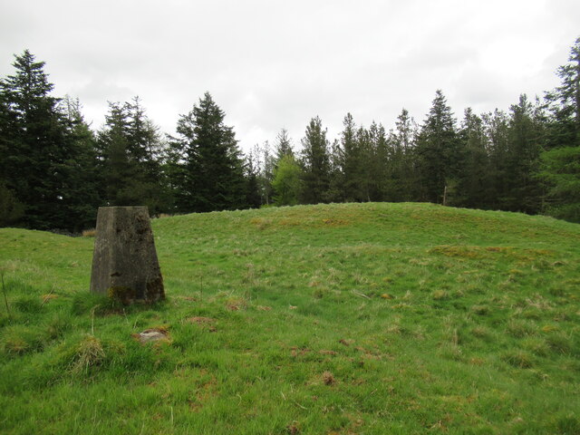
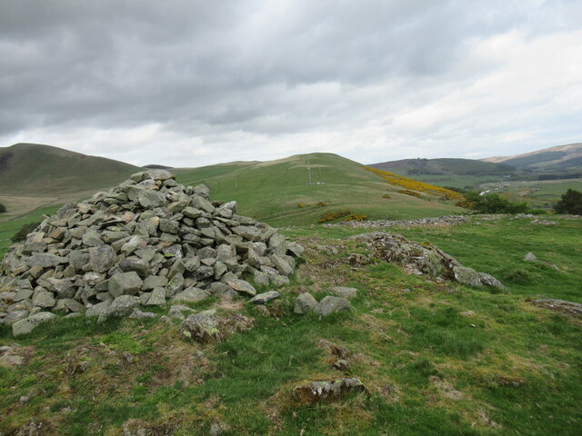
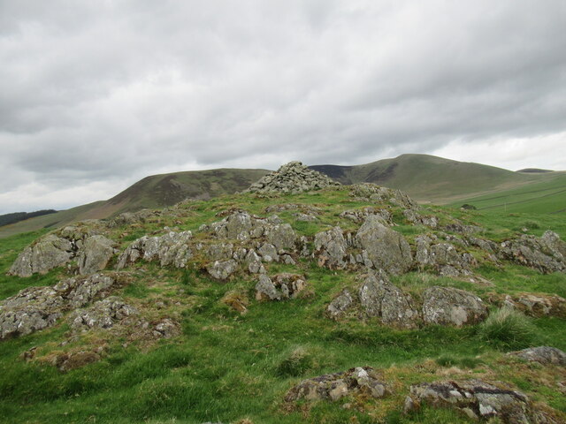
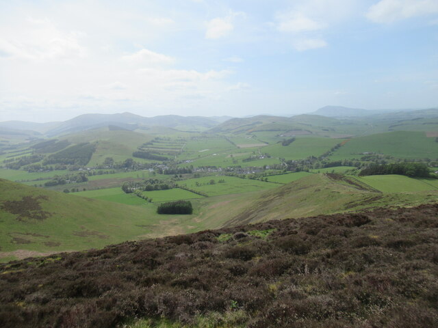
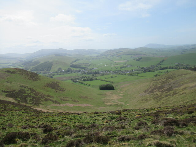
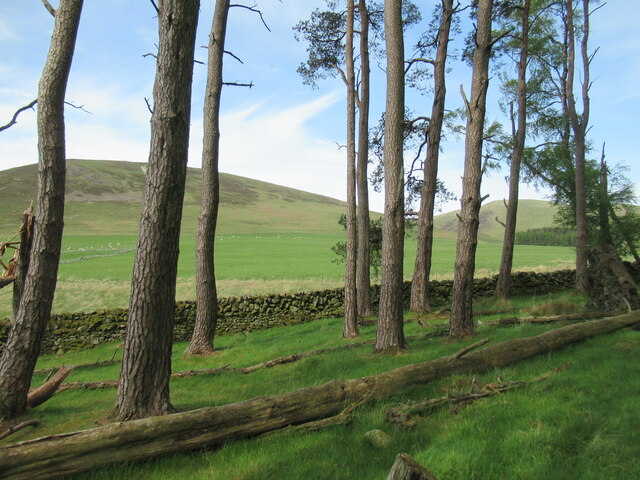
Calzeat Images
Images are sourced within 2km of 55.606115/-3.407524 or Grid Reference NT1135. Thanks to Geograph Open Source API. All images are credited.
Calzeat is located at Grid Ref: NT1135 (Lat: 55.606115, Lng: -3.407524)
Unitary Authority: The Scottish Borders
Police Authority: The Lothians and Scottish Borders
What 3 Words
///ballparks.former.paint. Near Biggar, South Lanarkshire
Nearby Locations
Related Wikis

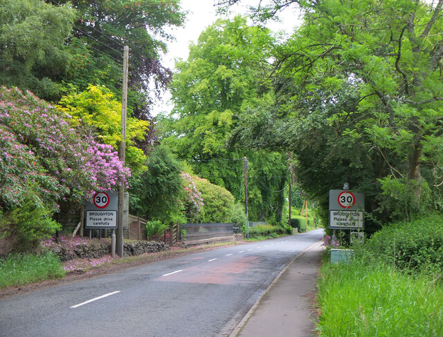
Broughton, Glenholm and Kilbucho
Broughton, Glenholm and Kilbucho is a parish in Peeblesshire in the Scottish Borders, 11 miles south-west of Peebles, lying in the upper part of the valley...

Broughton railway station (Scotland)
Broughton railway station served the village of Broughton, Scottish Borders, Scotland from 1860 to 1950 on the Symington, Biggar and Broughton Railway...

Holms Water
The Holms Water is a river and a tributary of the Biggar Water, which is a tributary of the River Tweed, in the parish of Broughton, Glenholm and Kilbucho...
Broughton, Scottish Borders
Broughton is a village in Tweeddale in the historical county of Peeblesshire in the Scottish Borders council area, in the south of Scotland, in the civil...
Nearby Amenities
Located within 500m of 55.606115,-3.407524Have you been to Calzeat?
Leave your review of Calzeat below (or comments, questions and feedback).