Camas-longart
Settlement in Ross-shire
Scotland
Camas-longart
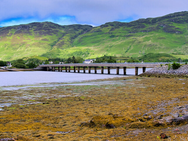
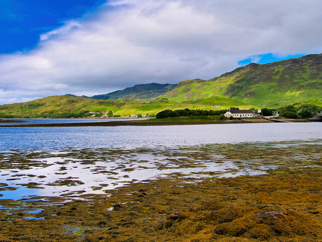
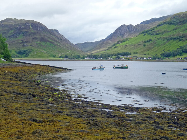
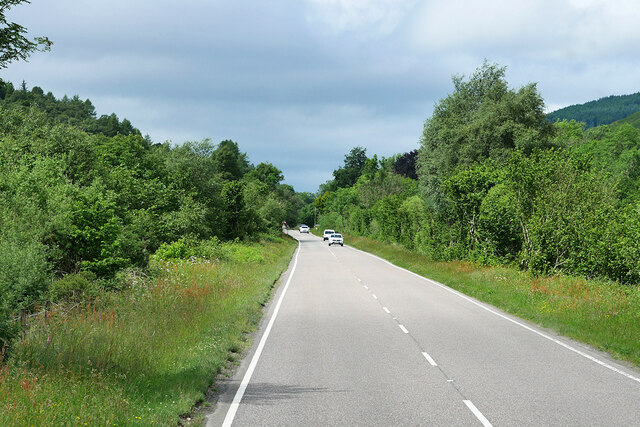
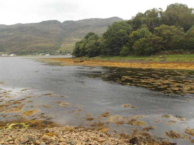
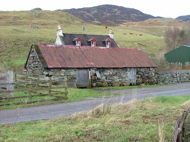
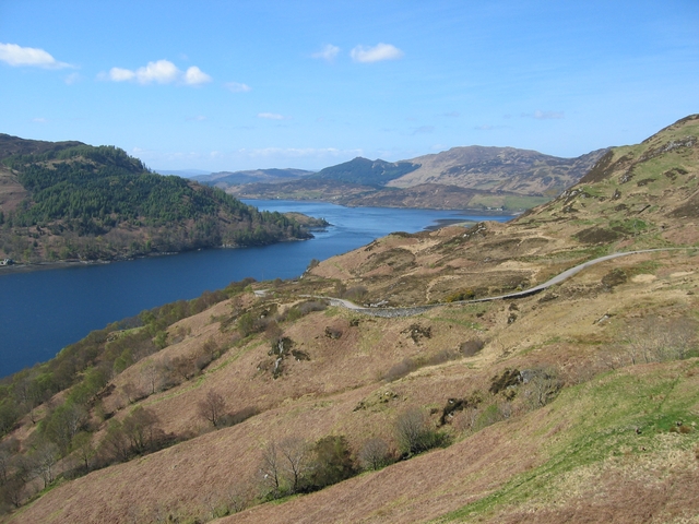
Camas-longart is a small village located in the historic county of Ross-shire, in the Highlands of Scotland. Situated on the northern bank of the Cromarty Firth, it lies approximately 7 miles northeast of the town of Dingwall. The village is surrounded by picturesque countryside, offering stunning views of the nearby mountain ranges and the firth.
The name "Camas-longart" is derived from the Gaelic language, meaning "bay of the ships." This name reflects the village's past as a bustling port and fishing community. In the past, the area was known for its herring fishing industry, which played a significant role in the local economy.
Today, Camas-longart is a tranquil and close-knit community, with a population of around 300 residents. The village retains its historic charm, with many traditional stone houses and buildings still standing. The local economy is primarily based on agriculture, with some residents also involved in tourism and other small businesses.
Visitors to Camas-longart can enjoy exploring the scenic surroundings, taking in the beauty of the nearby hills and lochs. Outdoor enthusiasts can partake in activities such as hiking, fishing, and birdwatching. The village also offers a peaceful atmosphere, making it an ideal destination for those seeking a quiet retreat away from the hustle and bustle of city life.
In conclusion, Camas-longart is a quaint village in Ross-shire, Scotland, known for its rich history and beautiful natural surroundings. With its scenic views and peaceful atmosphere, it is a hidden gem for those looking to experience the tranquility of the Scottish Highlands.
If you have any feedback on the listing, please let us know in the comments section below.
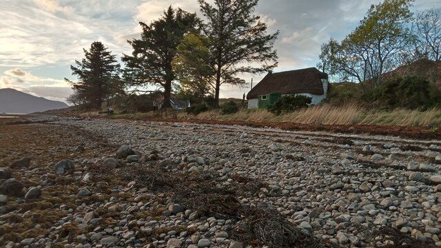
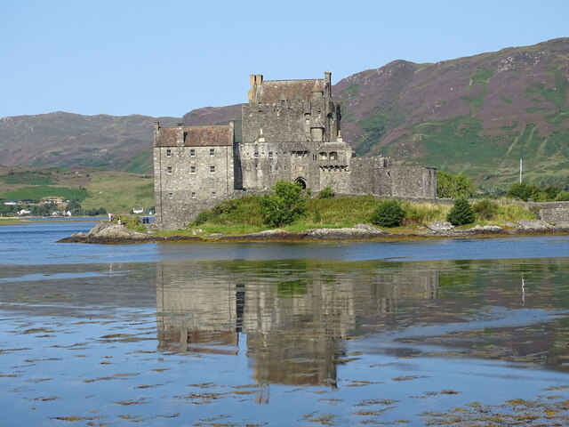
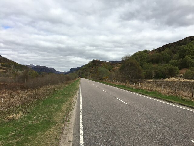
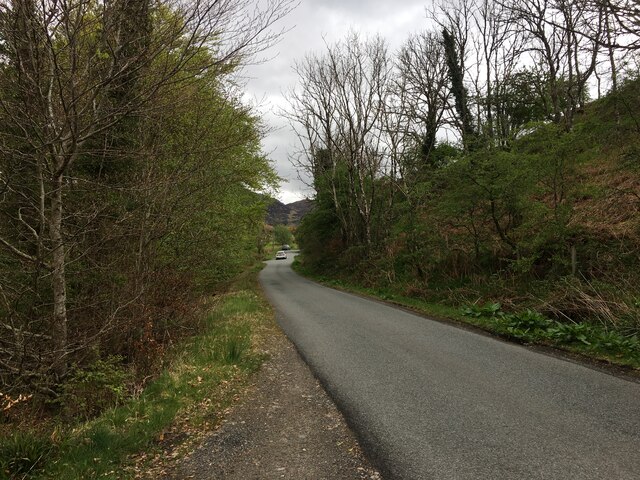
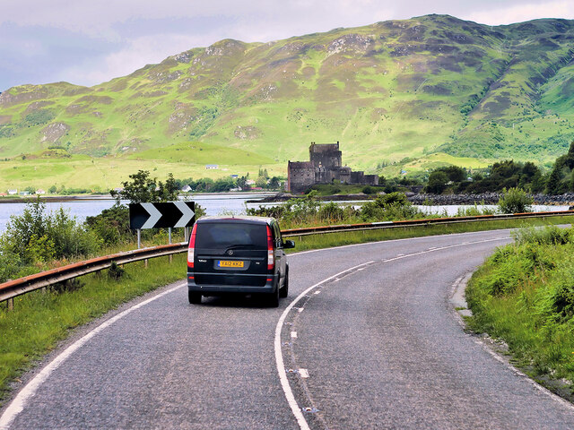
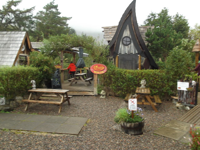
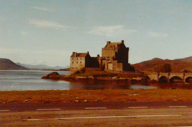
Camas-longart Images
Images are sourced within 2km of 57.284098/-5.5198801 or Grid Reference NG8726. Thanks to Geograph Open Source API. All images are credited.
Camas-longart is located at Grid Ref: NG8726 (Lat: 57.284098, Lng: -5.5198801)
Unitary Authority: Highland
Police Authority: Highlands and Islands
What 3 Words
///heartless.last.fallen. Near Glenelg, Highland
Nearby Locations
Related Wikis
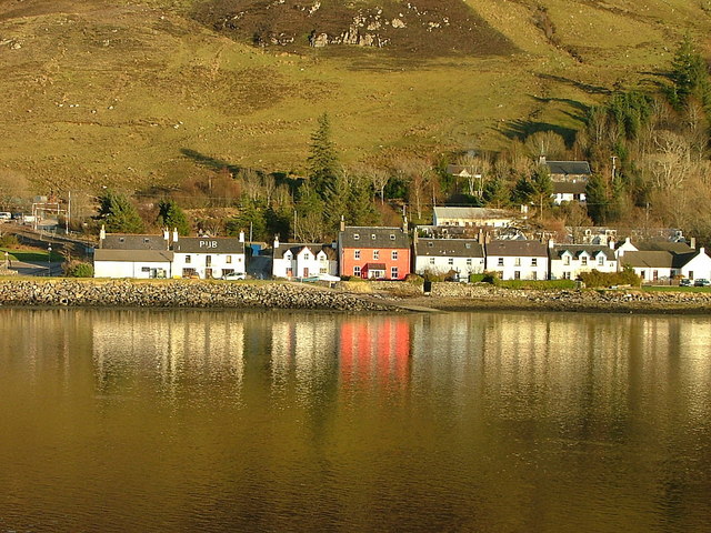
Dornie
Dornie (Scottish Gaelic: An Dòrnaidh) is a small former fishing village in the Lochalsh district in western Ross-shire Highlands of Scotland (2006 census...

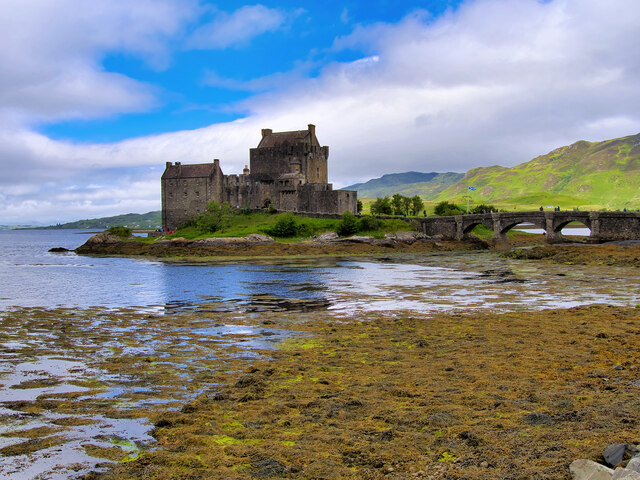
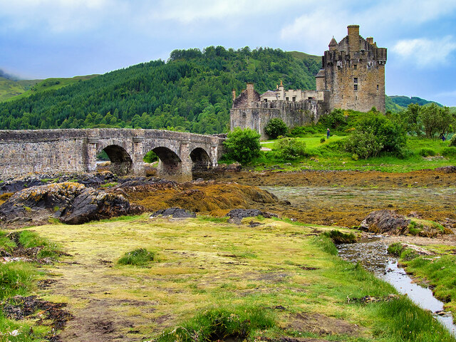
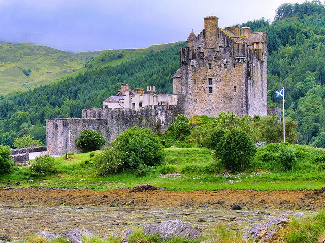
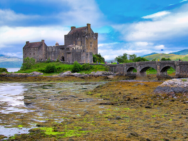
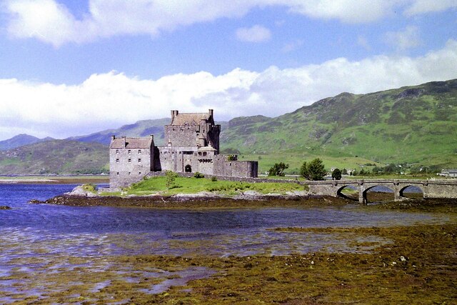
Eilean Donan
Eilean Donan (Scottish Gaelic: Eilean Donnain) is a small tidal island situated at the confluence of three sea lochs (Loch Duich, Loch Long and Loch Alsh...

Capture of Eilean Donan Castle
The Capture of Eilean Donan Castle was an land-based naval engagement that took place in 1719 during the British Jacobite rising of that year, and the...

Nostie
Nostie (Scottish Gaelic: Ceann na Mòna) is a small remote hamlet, lying on Nostie Bay, an inlet at the northeastern end of the sea loch, Loch Alsh in the...

Loch Anna
Loch Anna is a small, upland, freshwater loch approximately 2.4 km (1.5 mi) north of Loch Alsh at Ardelve, in Lochalsh, Scotland. It lies in a northwest...
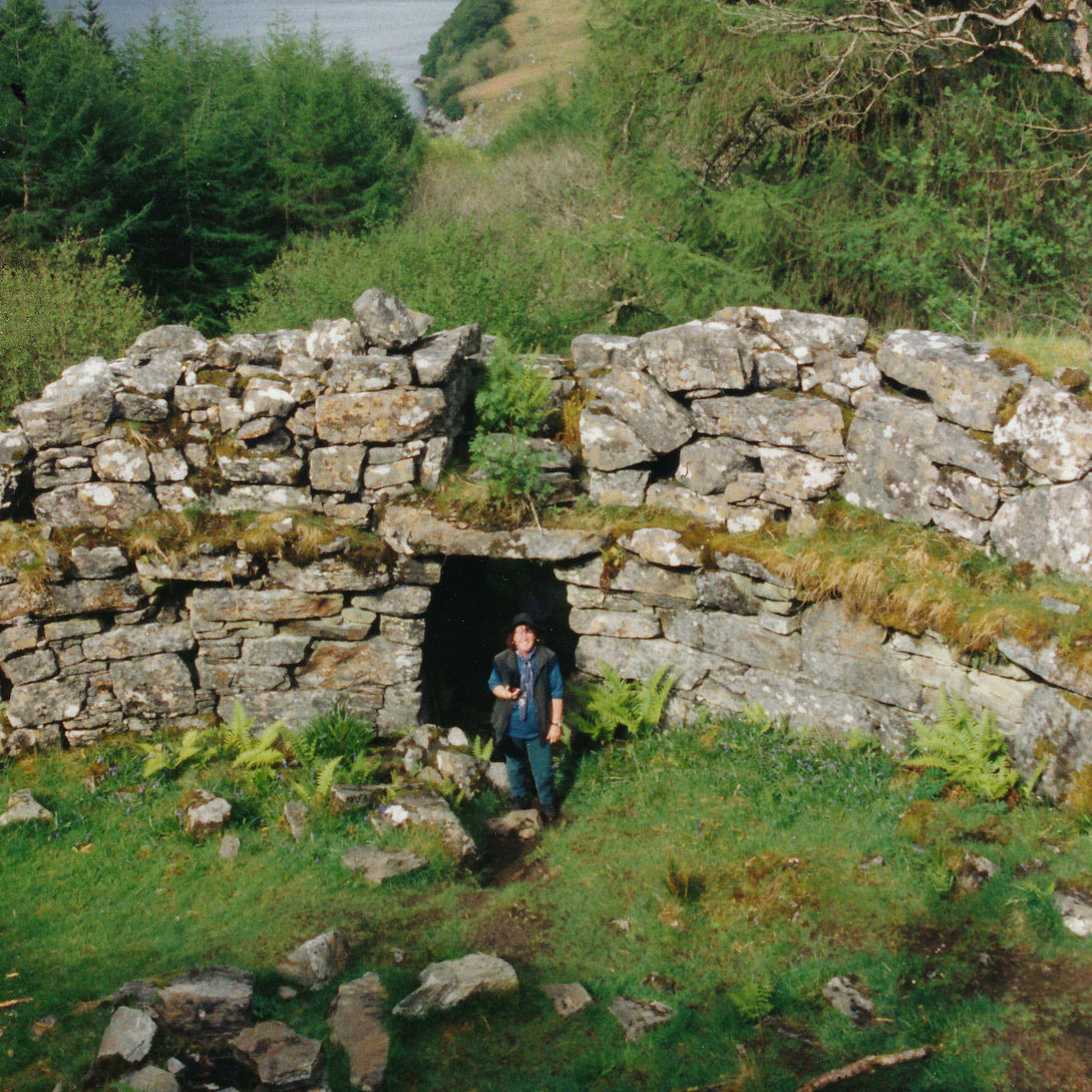
Caisteal Grugaig
Caisteal Grugaig (or Dun Totaig) is an Iron Age broch near the eastern end of Loch Alsh in the Scottish Highlands (grid reference NG86682508). == Location... ==
Ardelve
Ardelve (Scottish Gaelic: Àird Eilbh) is a village in Highland, Scotland, on Loch Alsh. It overlooks the Eilean Donan Castle, which is in Dornie, also...
Letterfearn
Letterfearn (Scottish Gaelic: Leitir Fheàrna) is a settlement that lies of the western shore of Loch Duich in Skye and Lochalsh, Highlands of Scotland...
Nearby Amenities
Located within 500m of 57.284098,-5.5198801Have you been to Camas-longart?
Leave your review of Camas-longart below (or comments, questions and feedback).