Aird Point
Coastal Feature, Headland, Point in Ross-shire
Scotland
Aird Point
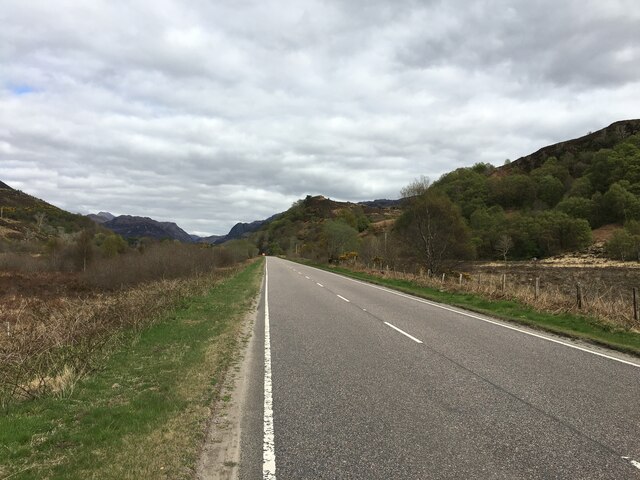
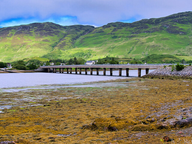
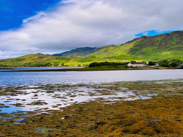
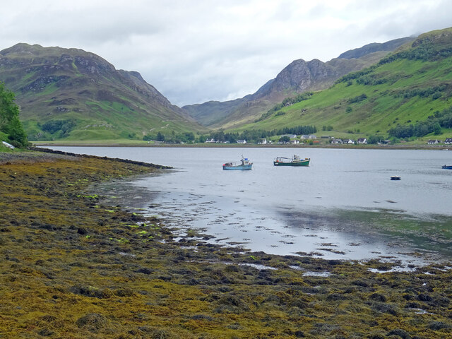
Aird Point is a prominent headland located in Ross-shire, Scotland. Situated on the eastern coast of the North Atlantic, it is known for its striking coastal features and breathtaking views. The point juts out into the sea, forming a distinct headland that offers panoramic vistas of the surrounding landscape.
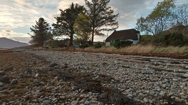
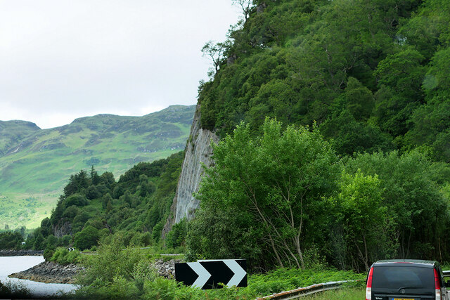
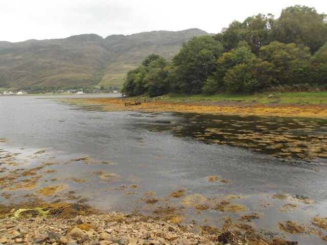
At Aird Point, visitors can observe the rugged coastline with its dramatic cliffs and rocky shores. The headland is made up of layers of sedimentary rock, displaying fascinating geological formations that have been shaped by centuries of erosion and weathering. These cliffs provide a nesting ground for various seabird species, offering a unique opportunity for birdwatching enthusiasts.
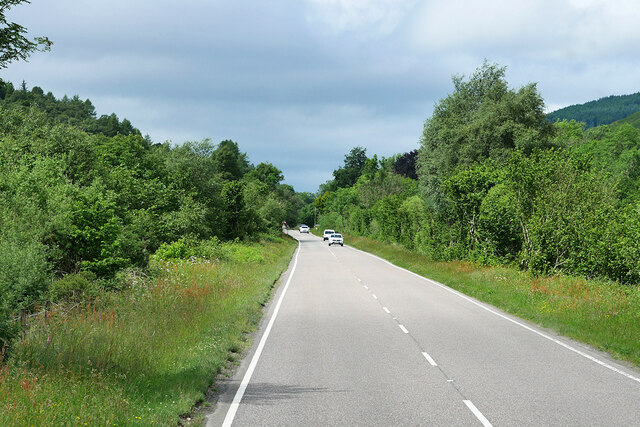
The terrain surrounding Aird Point is characterized by rolling hills and lush vegetation, adding to the picturesque charm of the area. The headland is also home to an array of flora and fauna, including wildflowers, grasses, and small mammals. Exploring the coastal path that winds around the point allows visitors to appreciate the natural beauty and tranquility of the region.
Aird Point is a popular destination for outdoor activities such as hiking, photography, and nature walks. Its accessibility and proximity to nearby towns make it a convenient spot for both locals and tourists. Whether it's witnessing the breathtaking sunsets over the sea or admiring the diverse wildlife, Aird Point offers a captivating experience for anyone seeking to immerse themselves in the beauty of Scotland's coastal landscape.
If you have any feedback on the listing, please let us know in the comments section below.
Aird Point Images
Images are sourced within 2km of 57.278328/-5.5211047 or Grid Reference NG8726. Thanks to Geograph Open Source API. All images are credited.
Aird Point is located at Grid Ref: NG8726 (Lat: 57.278328, Lng: -5.5211047)
Unitary Authority: Highland
Police Authority: Highlands and Islands
What 3 Words
///perfumed.advantage.magnum. Near Glenelg, Highland
Nearby Locations
Related Wikis
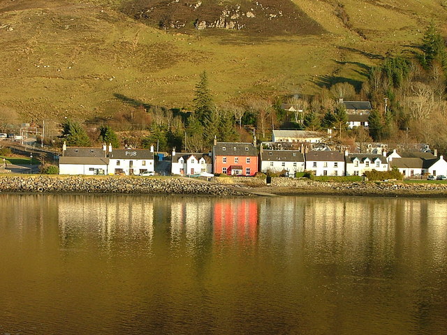
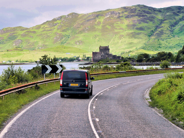
Dornie
Dornie (Scottish Gaelic: An Dòrnaidh) is a small former fishing village in the Lochalsh district in western Ross-shire Highlands of Scotland (2006 census...

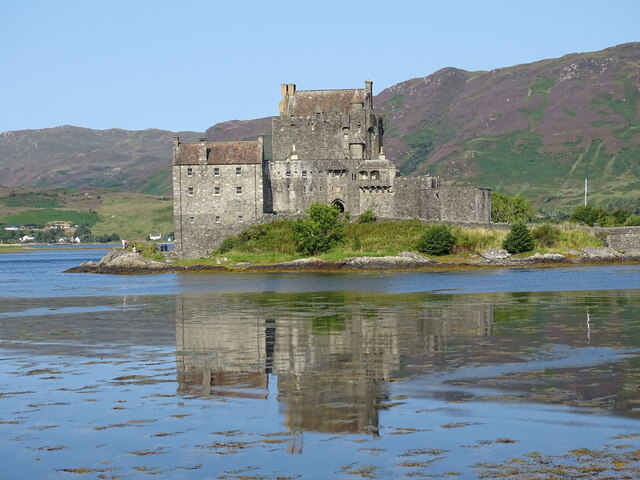
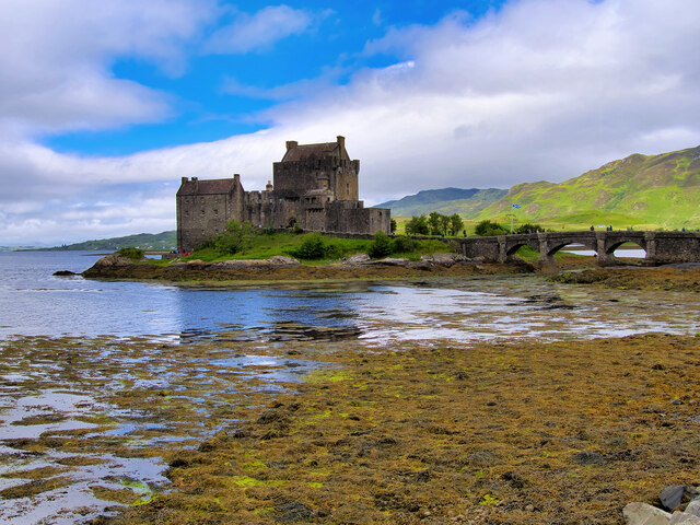
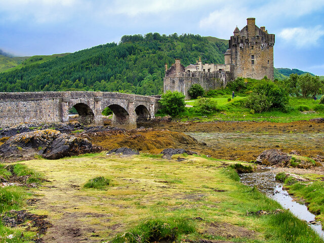
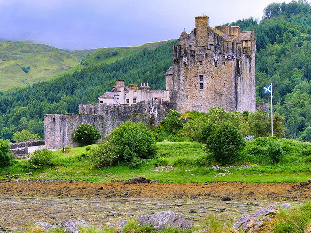
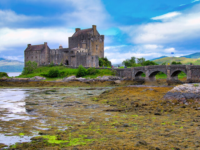
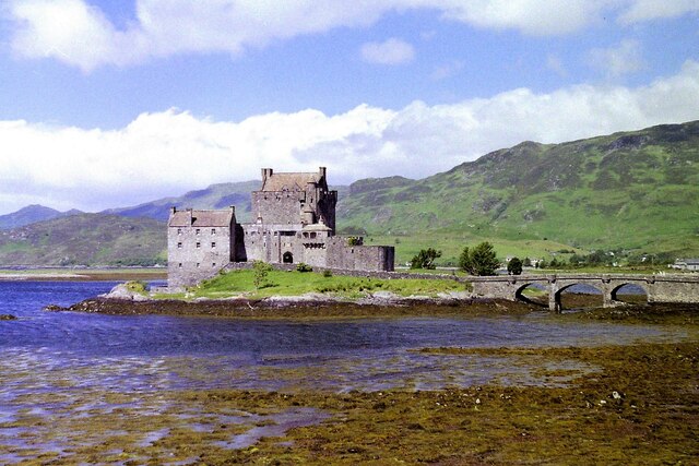
Eilean Donan
Eilean Donan (Scottish Gaelic: Eilean Donnain) is a small tidal island situated at the confluence of three sea lochs (Loch Duich, Loch Long and Loch Alsh...

Capture of Eilean Donan Castle
The Capture of Eilean Donan Castle was a land-based naval engagement that took place in 1719 during the British Jacobite rising of that year, and the War...
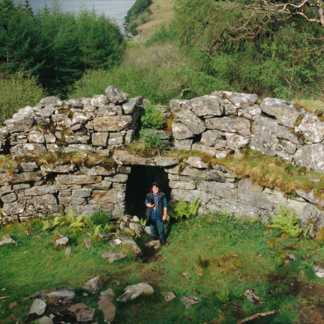
Caisteal Grugaig
Caisteal Grugaig (or Dun Totaig) is an Iron Age broch near the eastern end of Loch Alsh in the Scottish Highlands (grid reference NG86682508). == Location... ==
Nearby Amenities
Located within 500m of 57.278328,-5.5211047Have you been to Aird Point?
Leave your review of Aird Point below (or comments, questions and feedback).