Cerrig Gwynion
Coastal Feature, Headland, Point in Pembrokeshire
Wales
Cerrig Gwynion
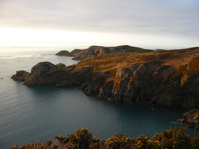
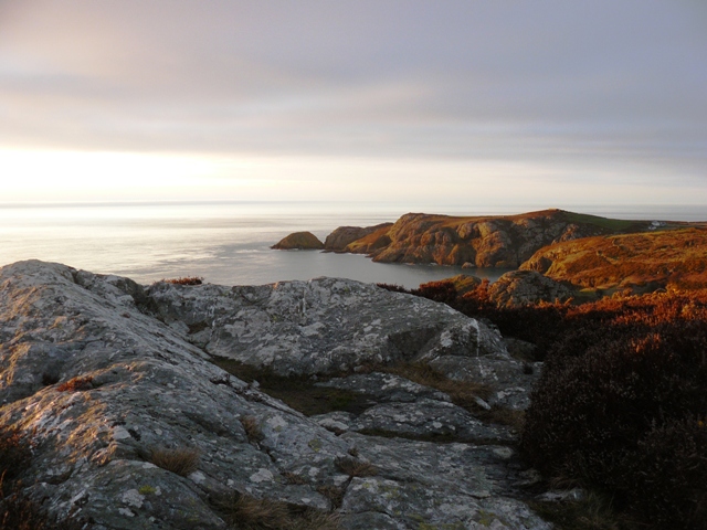
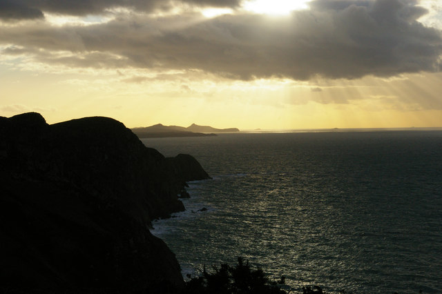
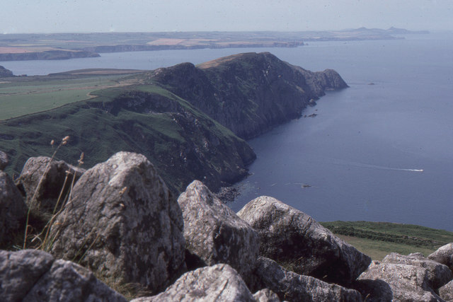
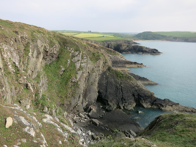
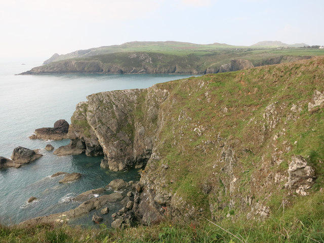
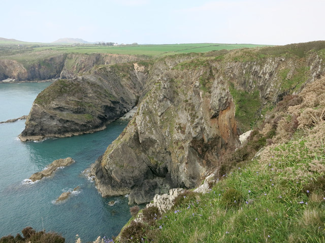
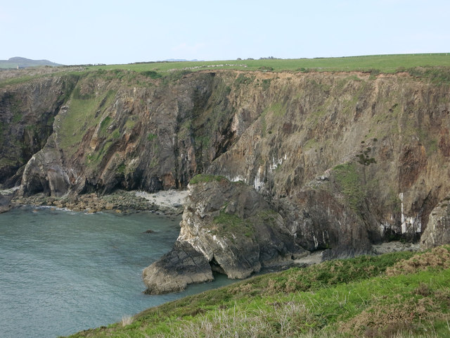
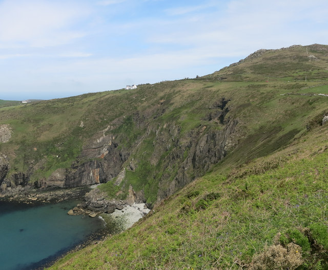
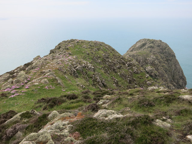
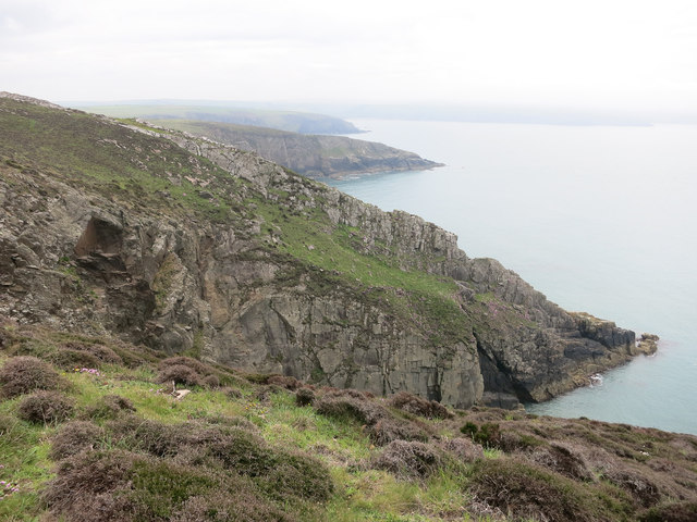
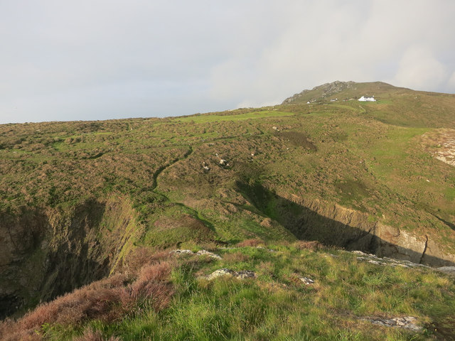
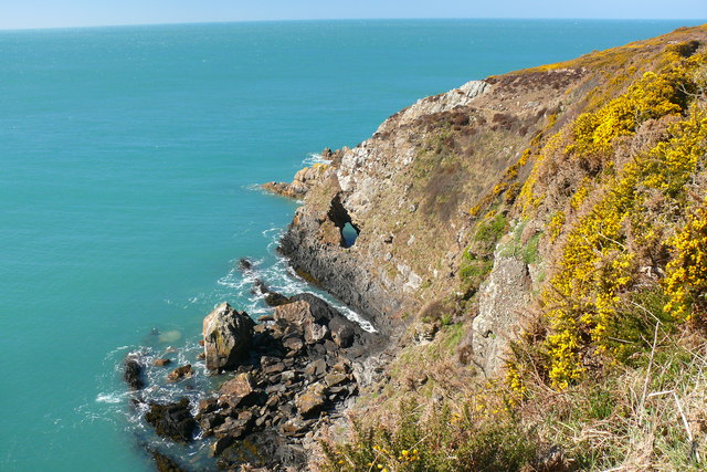
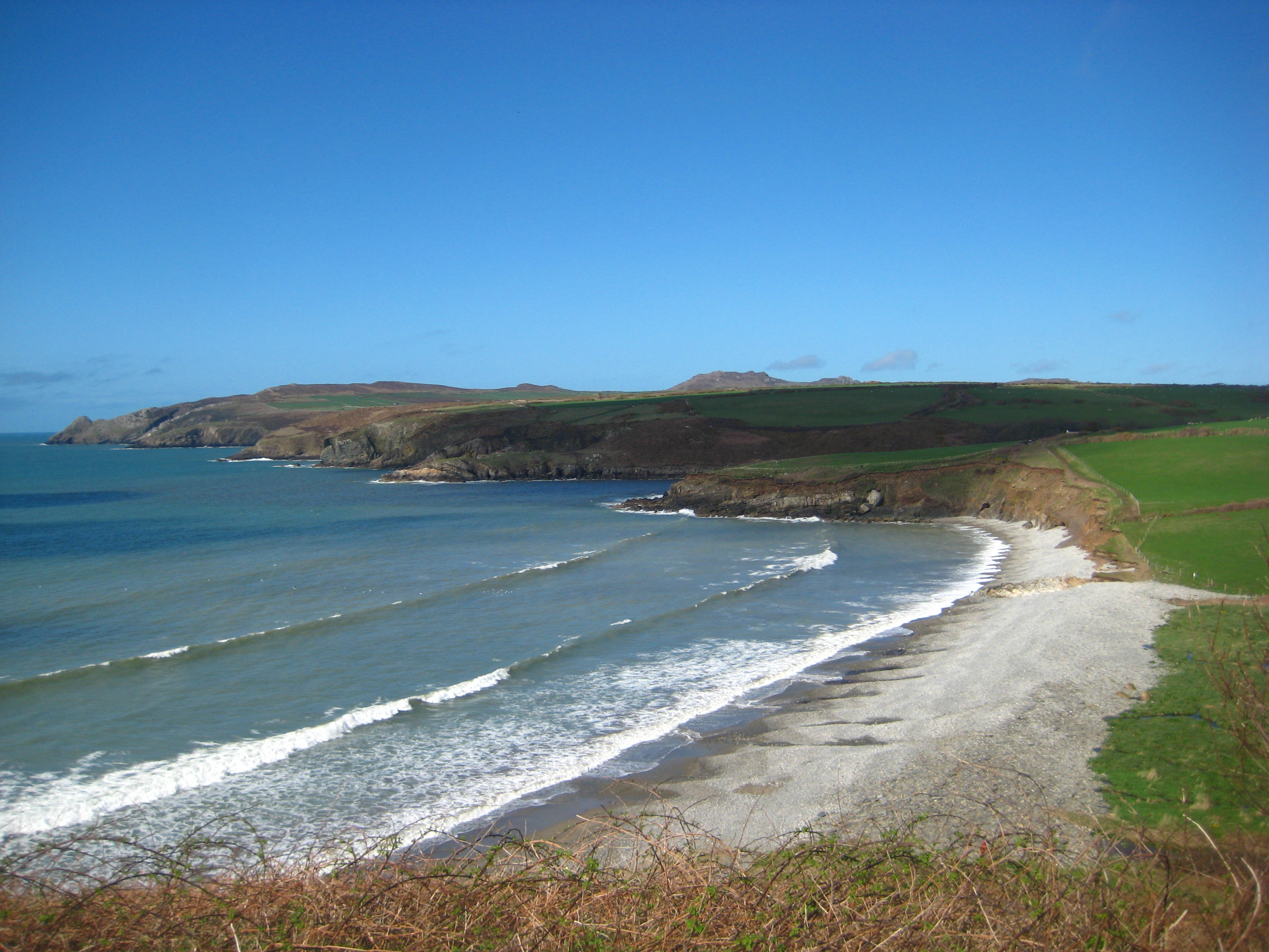
Cerrig Gwynion is a prominent coastal feature located in Pembrokeshire, Wales. It is a rugged headland that extends out into the Atlantic Ocean, forming a distinct point along the coastline. The name Cerrig Gwynion translates to "white rocks" in Welsh, which is fitting as the headland is characterized by its striking white limestone cliffs.
The headland is a popular destination for nature enthusiasts and outdoor adventurers due to its stunning natural beauty and diverse wildlife. The cliffs provide nesting sites for seabirds such as puffins, razorbills, and guillemots, making it a haven for birdwatchers. Visitors can often spot these colorful birds soaring above the cliffs or diving into the ocean to catch fish.
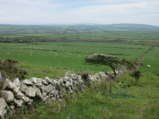
In addition to its avian inhabitants, Cerrig Gwynion is also home to a range of flora and fauna. The headland is covered in a patchwork of heather, gorse, and grasses, providing a unique habitat for a variety of plant species. It is not uncommon to see wildflowers blooming in vibrant colors during the spring and summer months.
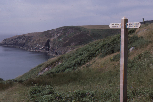
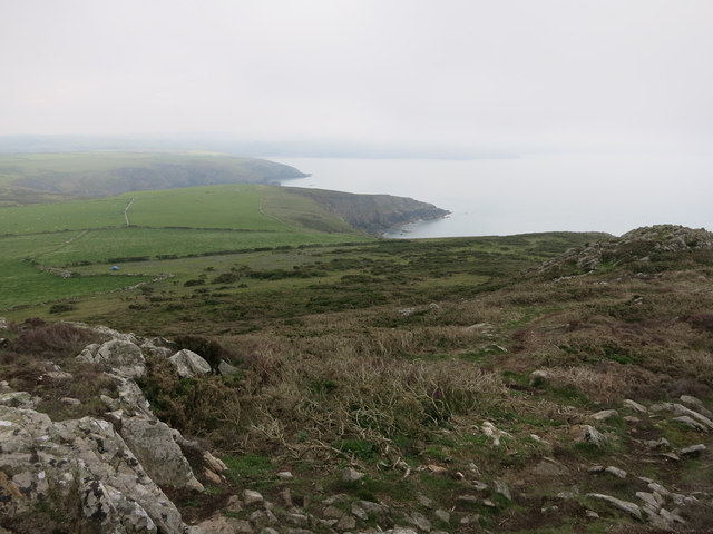
The coastal path that winds along Cerrig Gwynion offers breathtaking panoramic views of the surrounding coastline and the vast expanse of the Atlantic Ocean. On clear days, visitors can even catch a glimpse of dolphins or seals swimming in the waters below.
Overall, Cerrig Gwynion is a must-visit destination for those seeking to experience the raw beauty of Pembrokeshire's coast. Its dramatic cliffs, diverse wildlife, and stunning vistas make it a truly unforgettable place to explore.
If you have any feedback on the listing, please let us know in the comments section below.
Cerrig Gwynion Images
Images are sourced within 2km of 51.992188/-5.0918252 or Grid Reference SM8737. Thanks to Geograph Open Source API. All images are credited.

Cerrig Gwynion is located at Grid Ref: SM8737 (Lat: 51.992188, Lng: -5.0918252)
Unitary Authority: Pembrokeshire
Police Authority: Dyfed Powys
What 3 Words
///martini.squirted.blanked. Near Mathry, Pembrokeshire
Nearby Locations
Related Wikis

Trefasser
Trefasser (variations: Tref-Asser, or Trêf Asser, or Asserton; translation: "town" of "Asser") is a hamlet, located to the west of Fishguard in western...

Strumble Head - Llechdafad Cliffs
Strumble Head - Llechdafad Cliffs is a Site of Special Scientific Interest (SSSI) in Pembrokeshire, South Wales. It has been designated as a SSSI since...
Abermawr
Abermawr is a stretch of coastline and is regarded as a Site of Special Scientific Interest in Pembrokeshire, Wales. Abermawr is a mostly shingle beach...
Tregwynt Mansion
Tregwynt Mansion is a house in the parish of Granston in Pembrokeshire, Wales. The Tregwynt Hoard was found during renovations in 1996. == Location... ==
Have you been to Cerrig Gwynion?
Leave your review of Cerrig Gwynion below (or comments, questions and feedback).