Carreg Bwch-du
Island in Pembrokeshire
Wales
Carreg Bwch-du
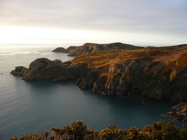
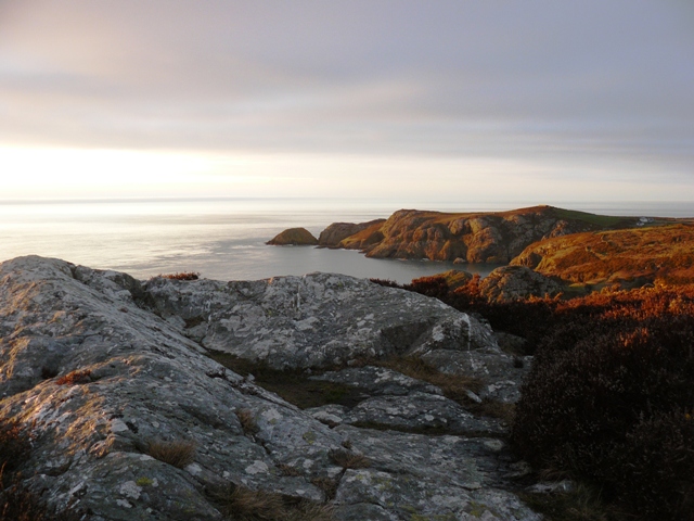
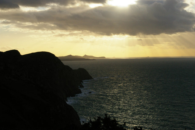
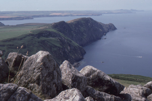
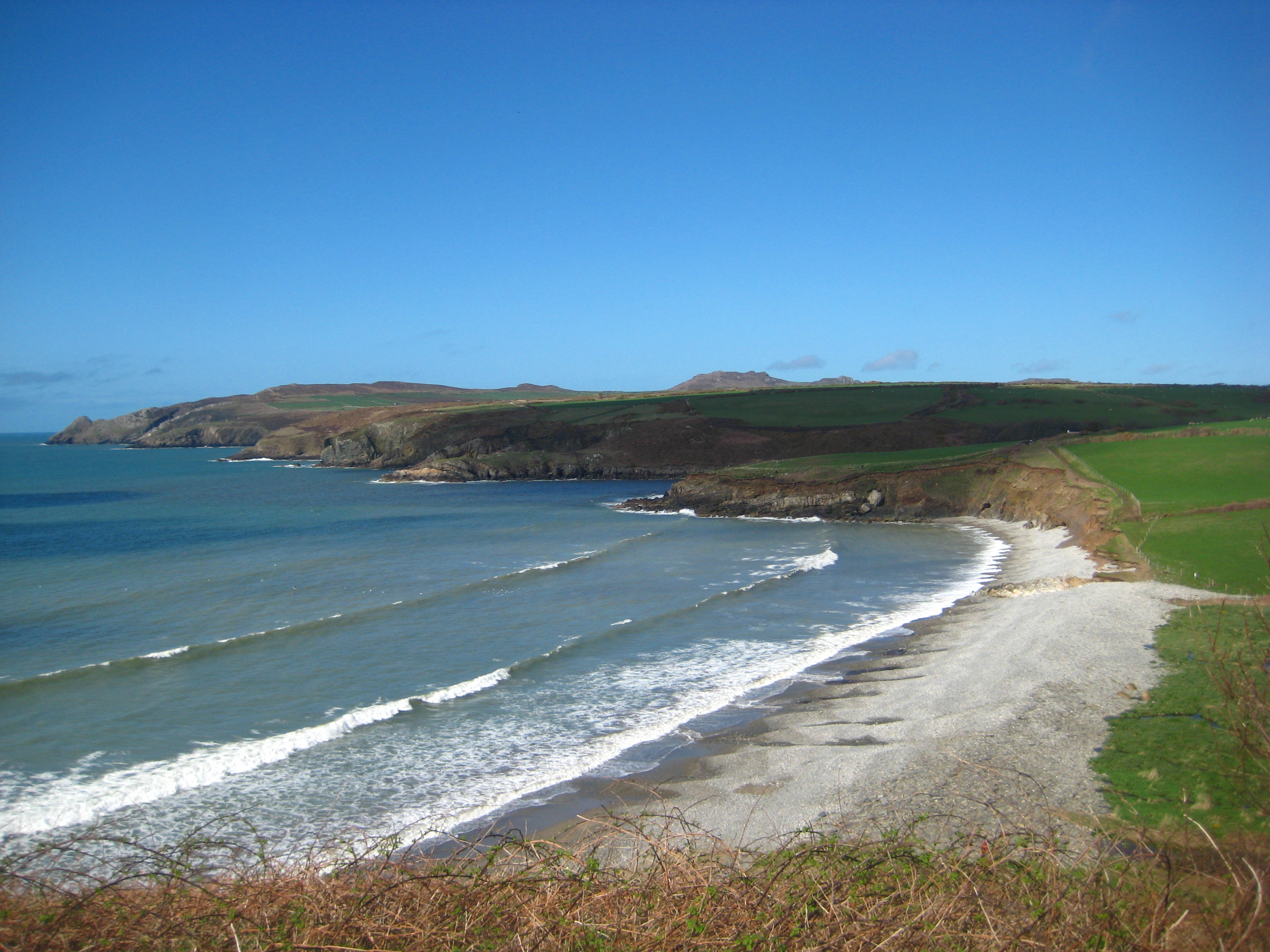
Carreg Bwch-du, also known as "Black Rock," is a small uninhabited island located off the coast of Pembrokeshire in southwest Wales. Situated in the Bristol Channel, it lies approximately 1.5 kilometers from the mainland and is accessible by boat or kayak during low tide.
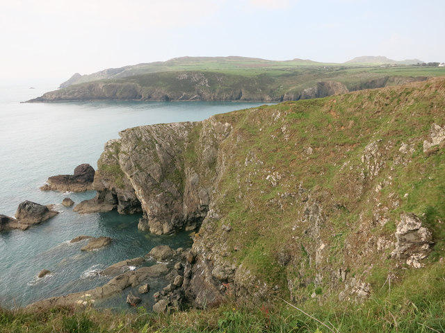
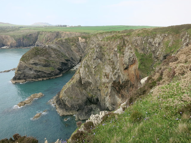
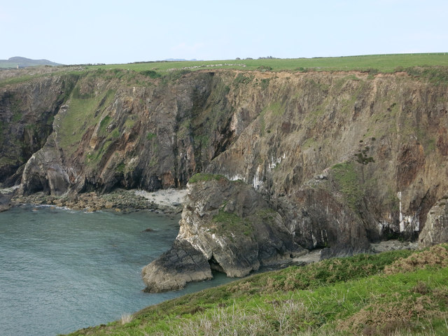
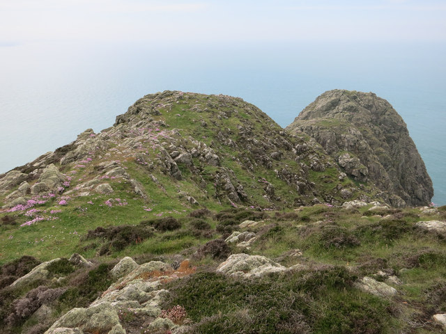
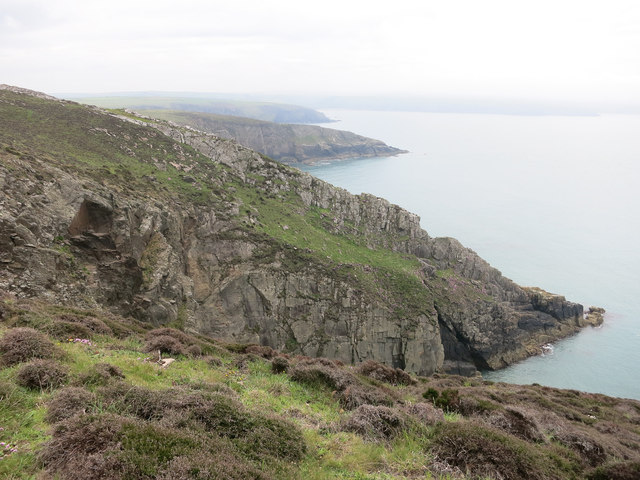
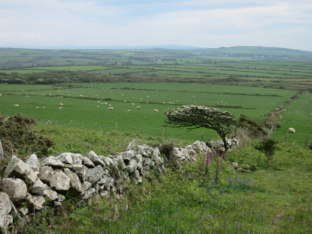
The island is characterized by its distinctive black volcanic rock formations, which give it its name. It covers an area of around 10 hectares and is home to a variety of seabird species, including guillemots, razorbills, and cormorants. The surrounding waters are rich in marine life, making it a popular spot for fishing and diving enthusiasts.
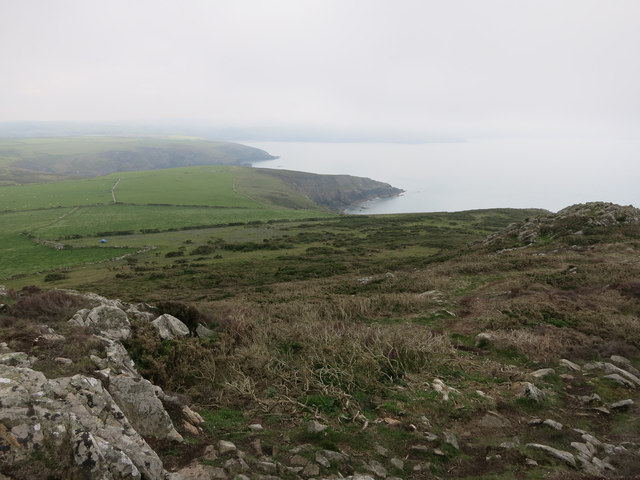
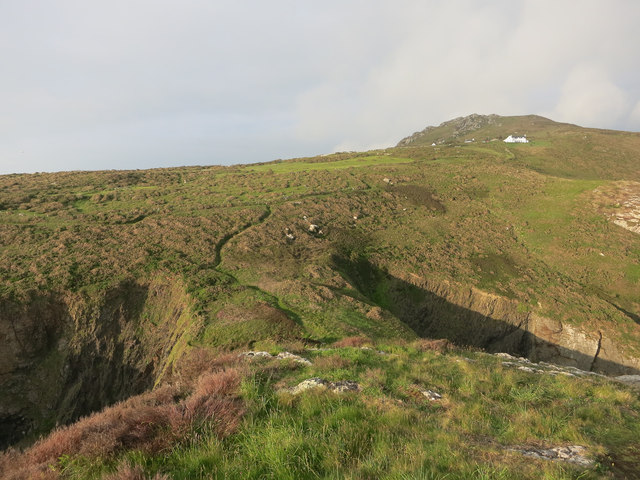
Carreg Bwch-du boasts scenic views of the Pembrokeshire coastline and is a haven for nature lovers and photographers. Its rugged cliffs and rocky outcrops provide a nesting site for seabirds, while its beaches offer a peaceful retreat for visitors. The island is also known for its diverse flora, with wildflowers and grasses adorning the landscape.
Historically, Carreg Bwch-du played a role in the defense of Pembrokeshire, with remnants of a gun battery from World War II still visible today. It is now protected as part of the Pembrokeshire Coast National Park and is managed by the National Trust.
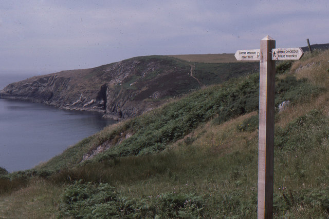
Visitors to Carreg Bwch-du are advised to take caution when exploring the island due to the uneven terrain and slippery rocks. It is important to check tidal times to ensure a safe return journey, as the island becomes completely cut off during high tide.
If you have any feedback on the listing, please let us know in the comments section below.
Carreg Bwch-du Images
Images are sourced within 2km of 51.99378/-5.0972964 or Grid Reference SM8737. Thanks to Geograph Open Source API. All images are credited.


Carreg Bwch-du is located at Grid Ref: SM8737 (Lat: 51.99378, Lng: -5.0972964)
Unitary Authority: Pembrokeshire
Police Authority: Dyfed Powys
What 3 Words
///wand.survive.scary. Near Mathry, Pembrokeshire
Nearby Locations
Related Wikis

Trefasser
Trefasser (variations: Tref-Asser, or Trêf Asser, or Asserton; translation: "town" of "Asser") is a hamlet, located to the west of Fishguard in western...

Strumble Head - Llechdafad Cliffs
Strumble Head - Llechdafad Cliffs is a Site of Special Scientific Interest (SSSI) in Pembrokeshire, South Wales. It has been designated as a SSSI since...
Calburga
Calburga was a Canadian barque, the last Canadian-built square-rigger of large tonnage. She was built in 1890 at South Maitland, Nova Scotia by local shipbuilder...
Abermawr
Abermawr is a stretch of coastline and is regarded as a Site of Special Scientific Interest in Pembrokeshire, Wales. Abermawr is a mostly shingle beach...
Have you been to Carreg Bwch-du?
Leave your review of Carreg Bwch-du below (or comments, questions and feedback).