Bowness Knott
Hill, Mountain in Cumberland Copeland
England
Bowness Knott
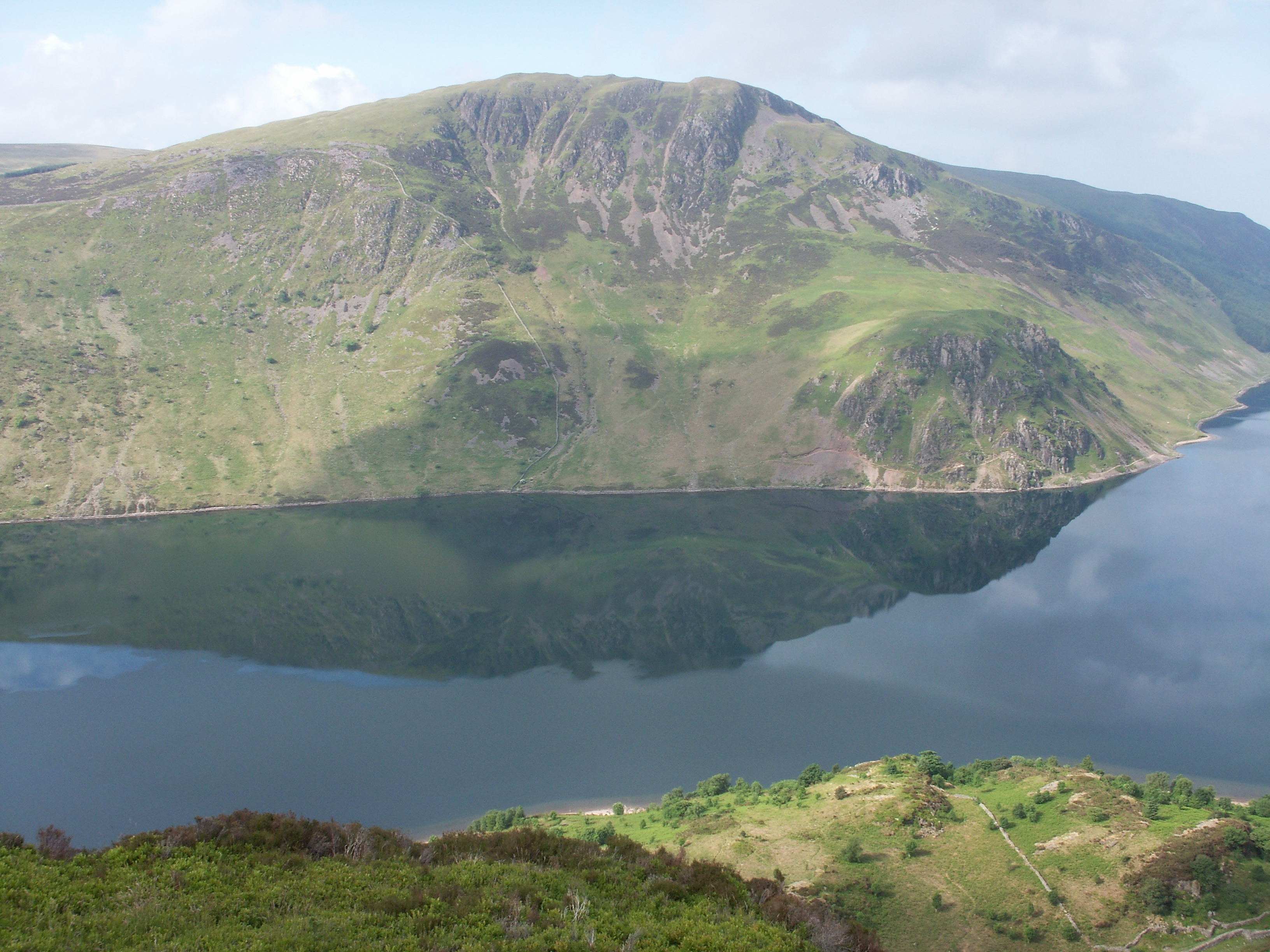
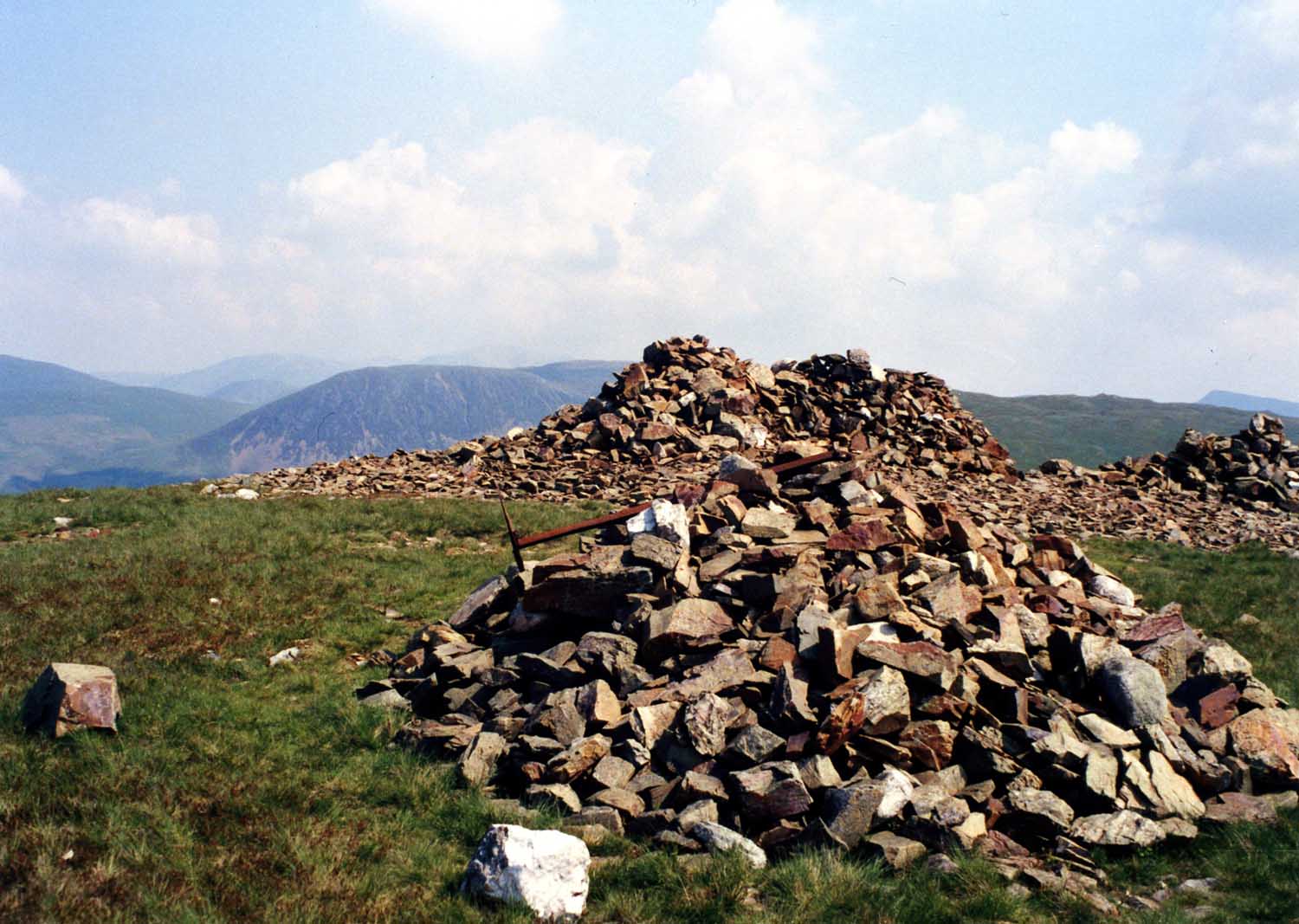
Bowness Knott is a prominent hill located in the county of Cumberland, in the northwest region of England. Standing at an elevation of approximately 333 meters (1,093 feet), it forms part of the picturesque Lake District National Park. Bowness Knott is situated within the boundaries of the Ennerdale Forest, a vast woodland area known for its tranquil beauty and diverse flora and fauna.
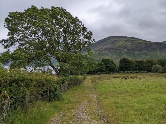
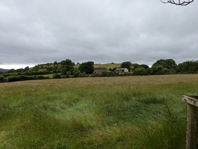
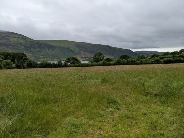
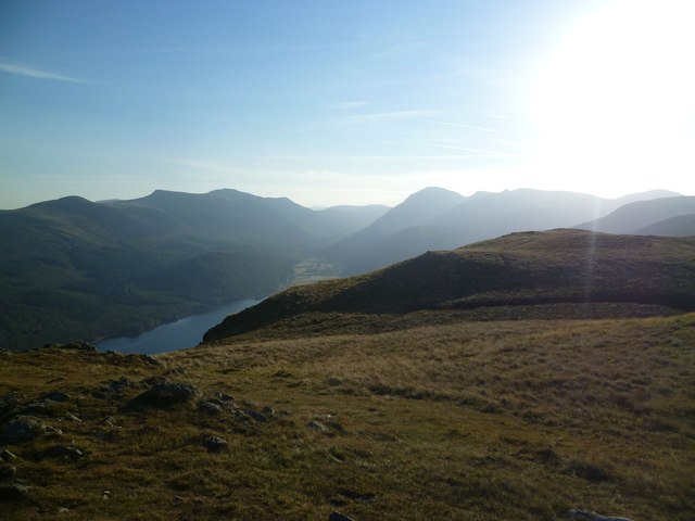
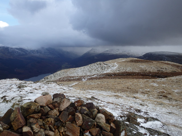
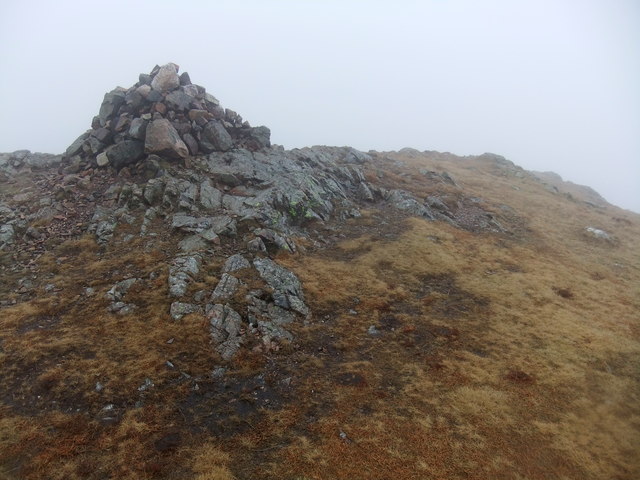
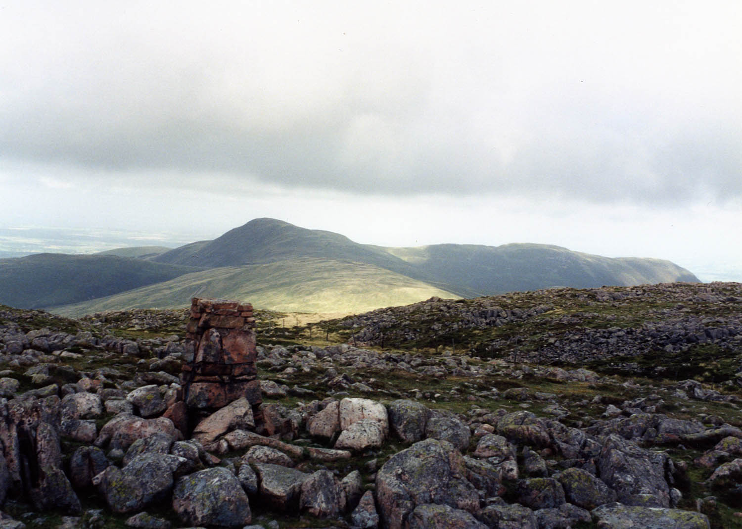
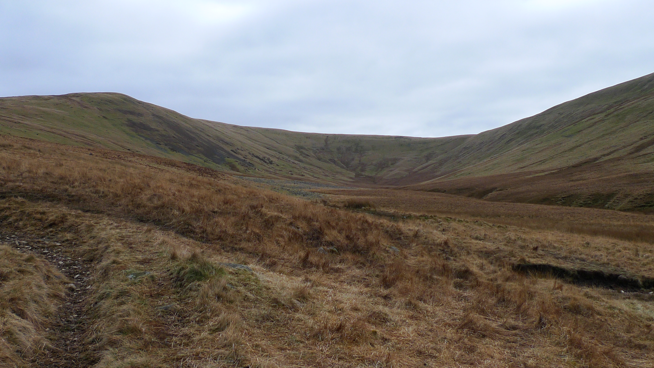
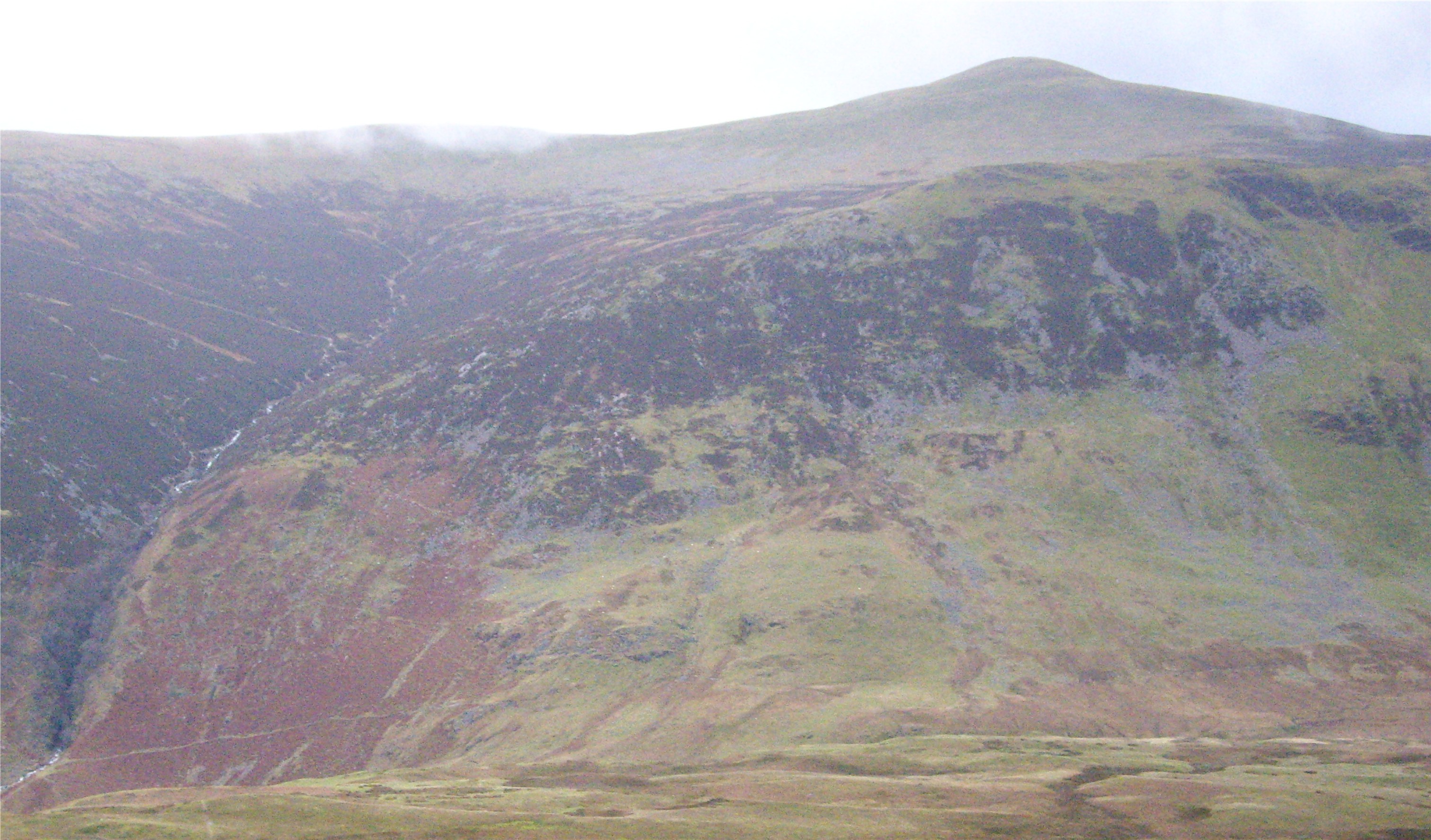
The hill itself is characterized by its distinctive conical shape, with steep slopes and a rounded summit. It offers stunning panoramic views of the surrounding countryside, including the nearby Ennerdale Water, one of the deepest lakes in England. The area around Bowness Knott is a haven for outdoor enthusiasts, with numerous walking trails and paths leading up to the summit. These trails are well-maintained and suitable for hikers of all abilities.
Bowness Knott is also notable for its rich cultural and historical significance. The hill and its surrounding area have been inhabited for thousands of years, with evidence of ancient settlements and stone circles found nearby. It is a popular destination for those interested in archaeology and history, as well as nature lovers seeking a peaceful retreat amidst the stunning natural beauty of the Lake District.
Overall, Bowness Knott is a captivating hill in Cumberland, offering breathtaking views, diverse wildlife, and a glimpse into the rich heritage of the region.
If you have any feedback on the listing, please let us know in the comments section below.
Bowness Knott Images
Images are sourced within 2km of 54.527477/-3.3733102 or Grid Reference NY1115. Thanks to Geograph Open Source API. All images are credited.


Bowness Knott is located at Grid Ref: NY1115 (Lat: 54.527477, Lng: -3.3733102)
Administrative County: Cumbria
District: Copeland
Police Authority: Cumbria
What 3 Words
///licks.kind.lizard. Near Frizington, Cumbria
Nearby Locations
Related Wikis
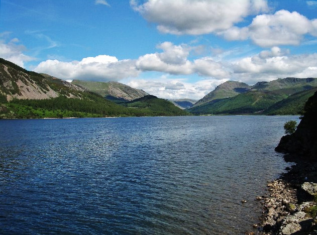
Ennerdale Water
Ennerdale Water is the most westerly lake in the Lake District National Park in Cumbria, England. It is a glacial lake, with a maximum depth of 150 feet...

Great Borne
Great Borne is a fell in the English Lake District with a height of 616 m (2,021 ft). It is a rather secluded hill situated at the western end of the long...
Crag Fell
Crag Fell is a hill in the English Lake District. It is part of the Lank Rigg group, standing above Ennerdale Water in the Western Fells. The craggy northern...
Gavel Fell
Gavel Fell is a hill in the English Lake District. Centremost of the five Loweswater Fells in the western part of the District, it stands between Hen Comb...

Buttermere and Ennerdale
Buttermere and Ennerdale is a National Trust property located in the Lake District of Cumbria, England. The property comprises an area of 8,866 acres...
Whoap
Whoap is a hill located near the western edge of the English Lake District, standing at 511 m. It is part of the Lank Rigg group and is separated from...
Starling Dodd
Starling Dodd is a fell in the western part of the English Lake District, located between the valleys of Ennerdale and Buttermere, on the ridge between...
Grike (Lake District)
Grike is a hill in the west of the English Lake District, near Ennerdale Water. It is part of the Lank Rigg group, the most westerly Wainwright as the...
Nearby Amenities
Located within 500m of 54.527477,-3.3733102Have you been to Bowness Knott?
Leave your review of Bowness Knott below (or comments, questions and feedback).