Brown How
Hill, Mountain in Cumberland Copeland
England
Brown How
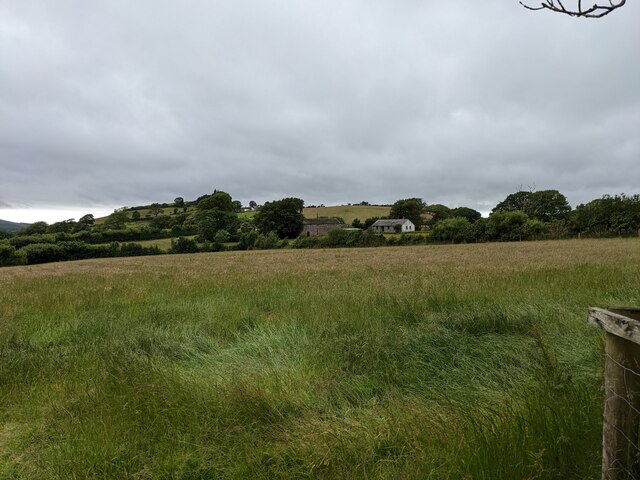
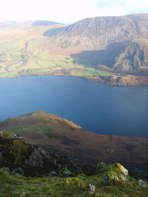
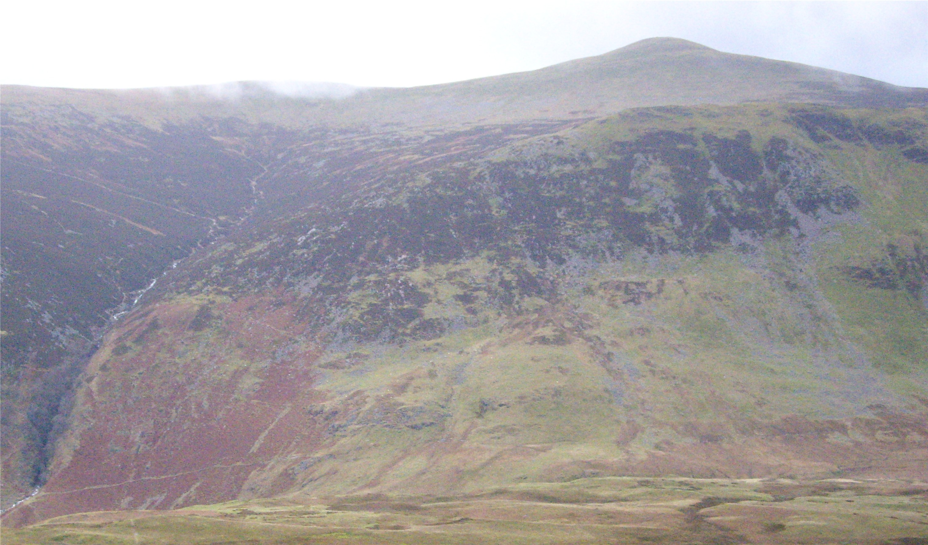
Brown How is a prominent hill located in the picturesque county of Cumberland, England. Rising to an elevation of approximately 1,300 feet (396 meters), it is a popular destination for nature enthusiasts and hillwalkers alike.
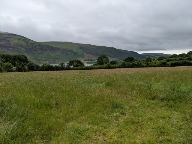
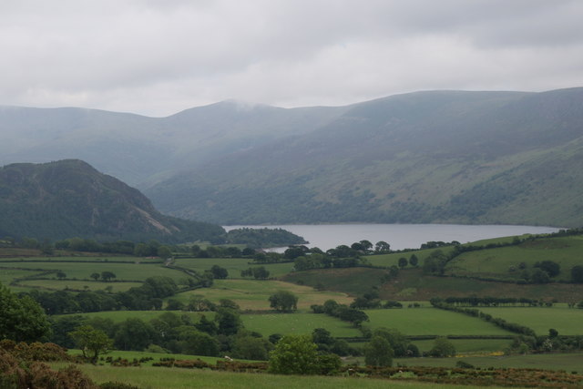
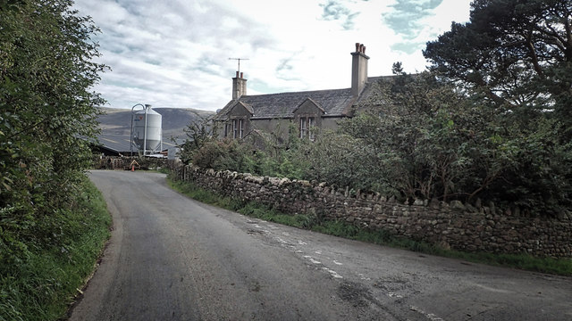
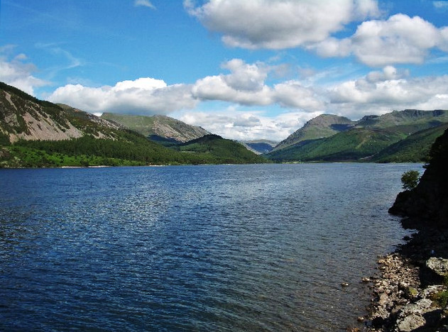
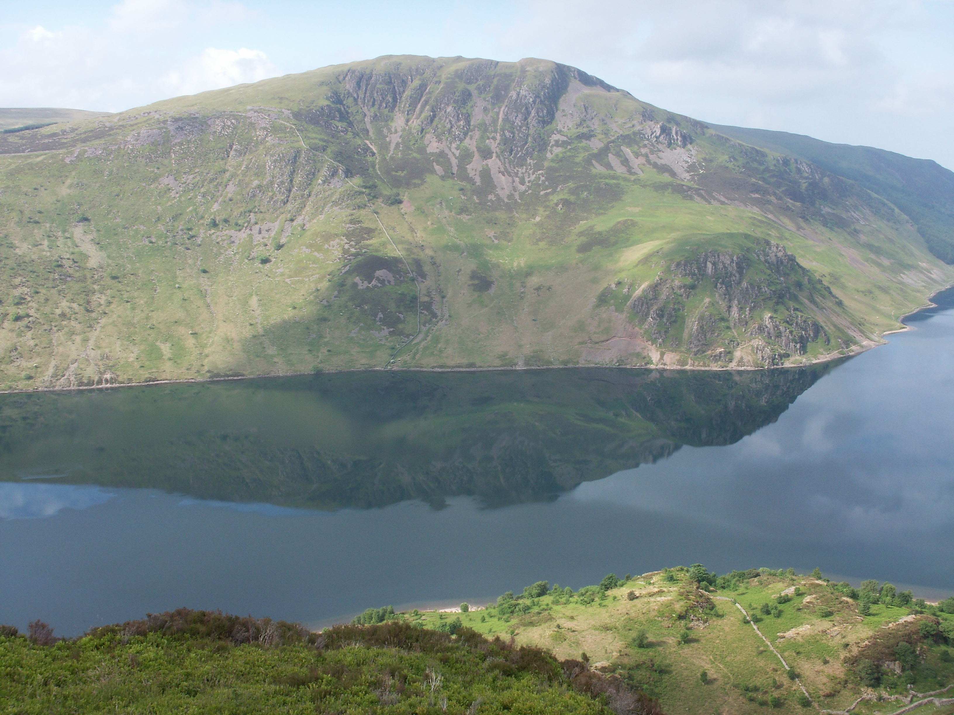
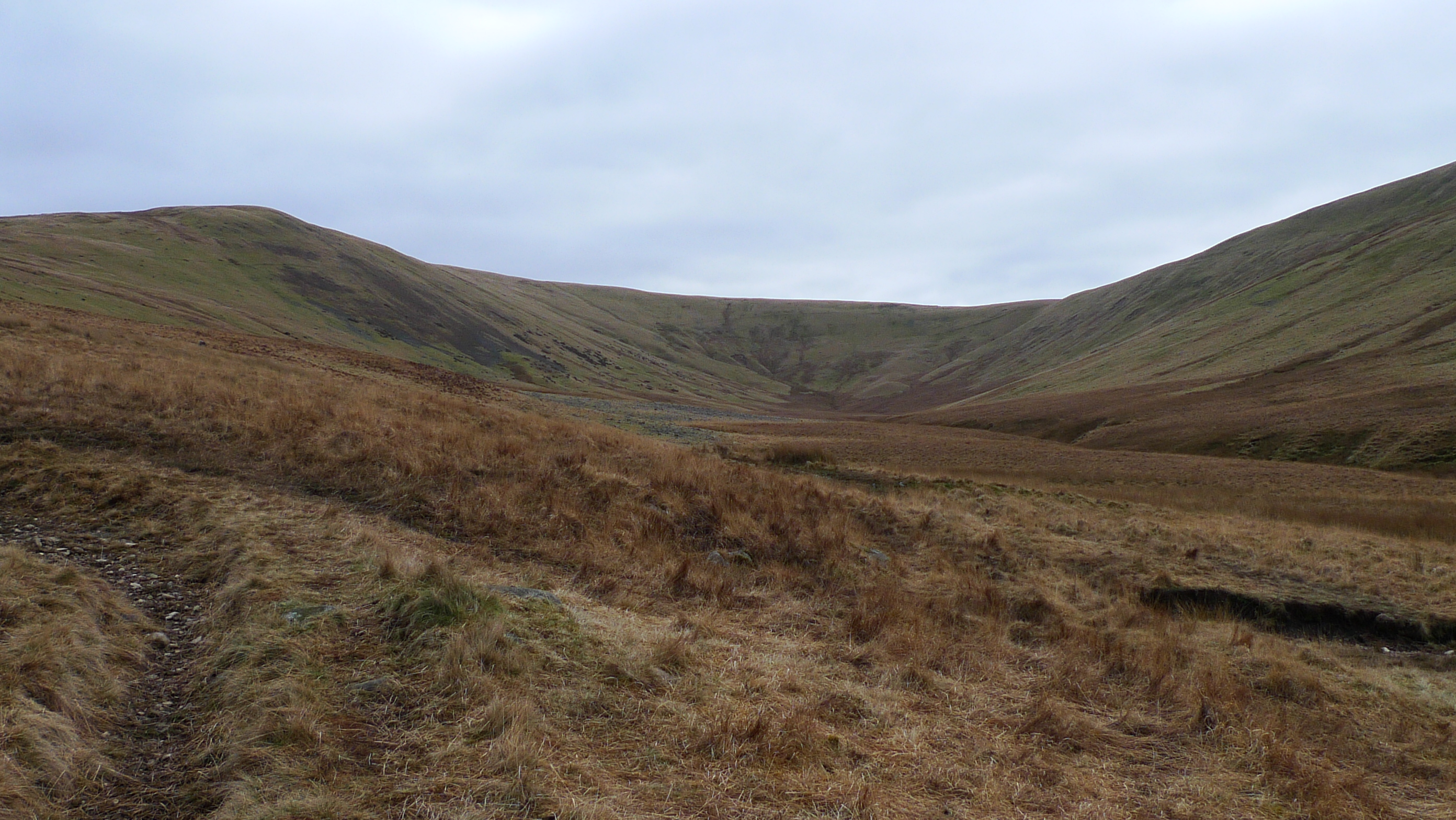
Situated in the western part of the Lake District National Park, Brown How offers breathtaking panoramic views of the surrounding countryside. The hill is characterized by its rugged terrain, with rocky outcrops and heather-covered slopes. Its distinctive shape and position make it easily recognizable from afar.
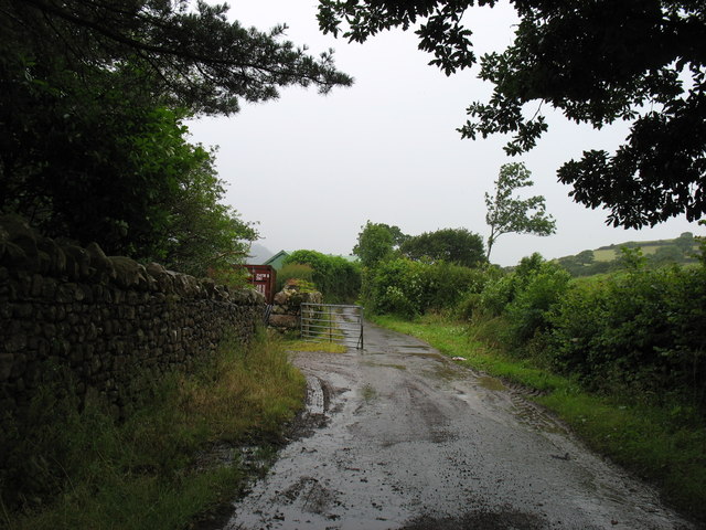
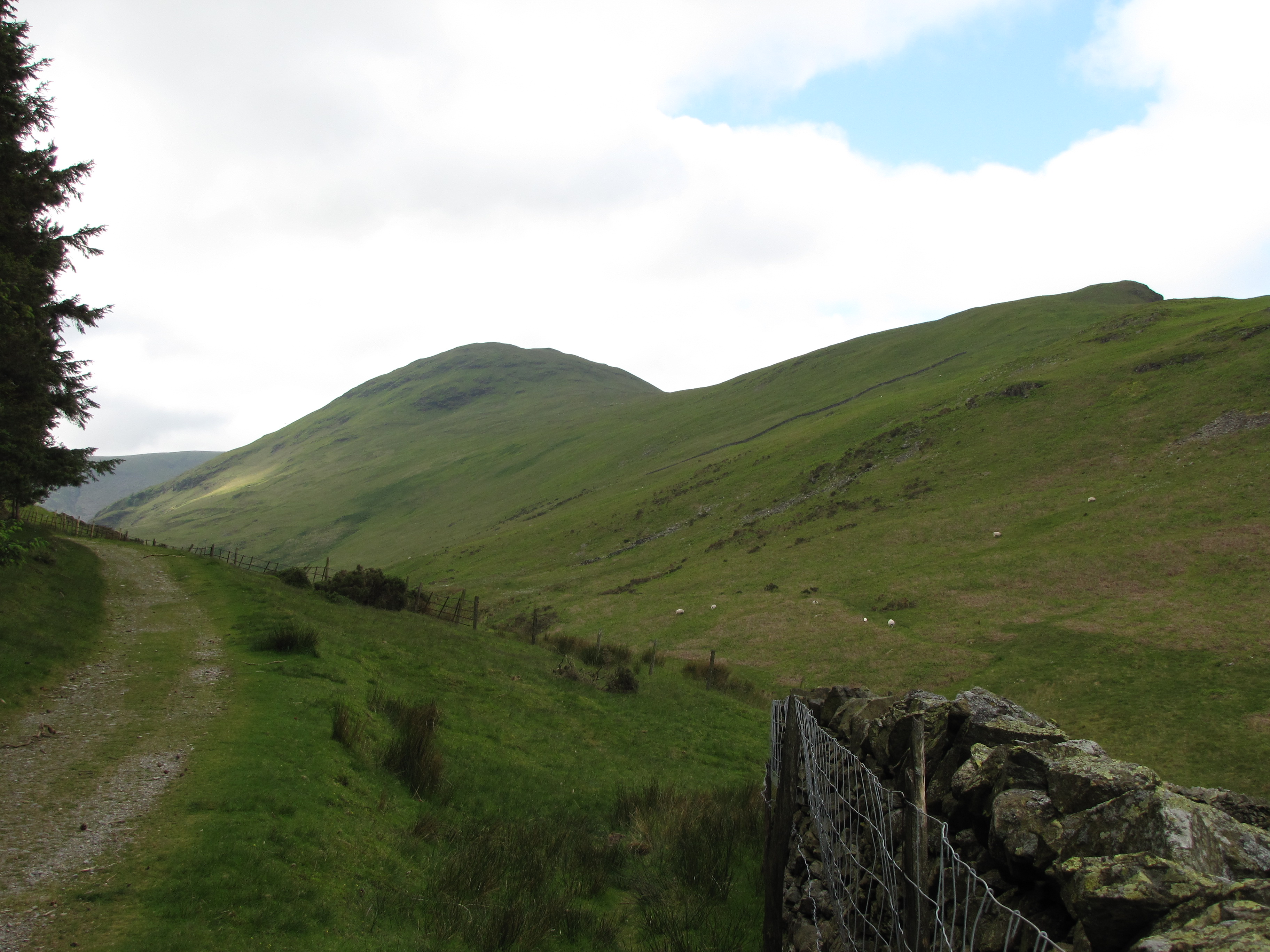
The hill is easily accessible from the nearby town of Keswick, with several designated walking trails leading to its summit. The most popular route starts from the village of Grange, taking walkers through enchanting woodlands and across open moorland before reaching the peak. Along the way, visitors may encounter a variety of wildlife, including birds of prey and deer.
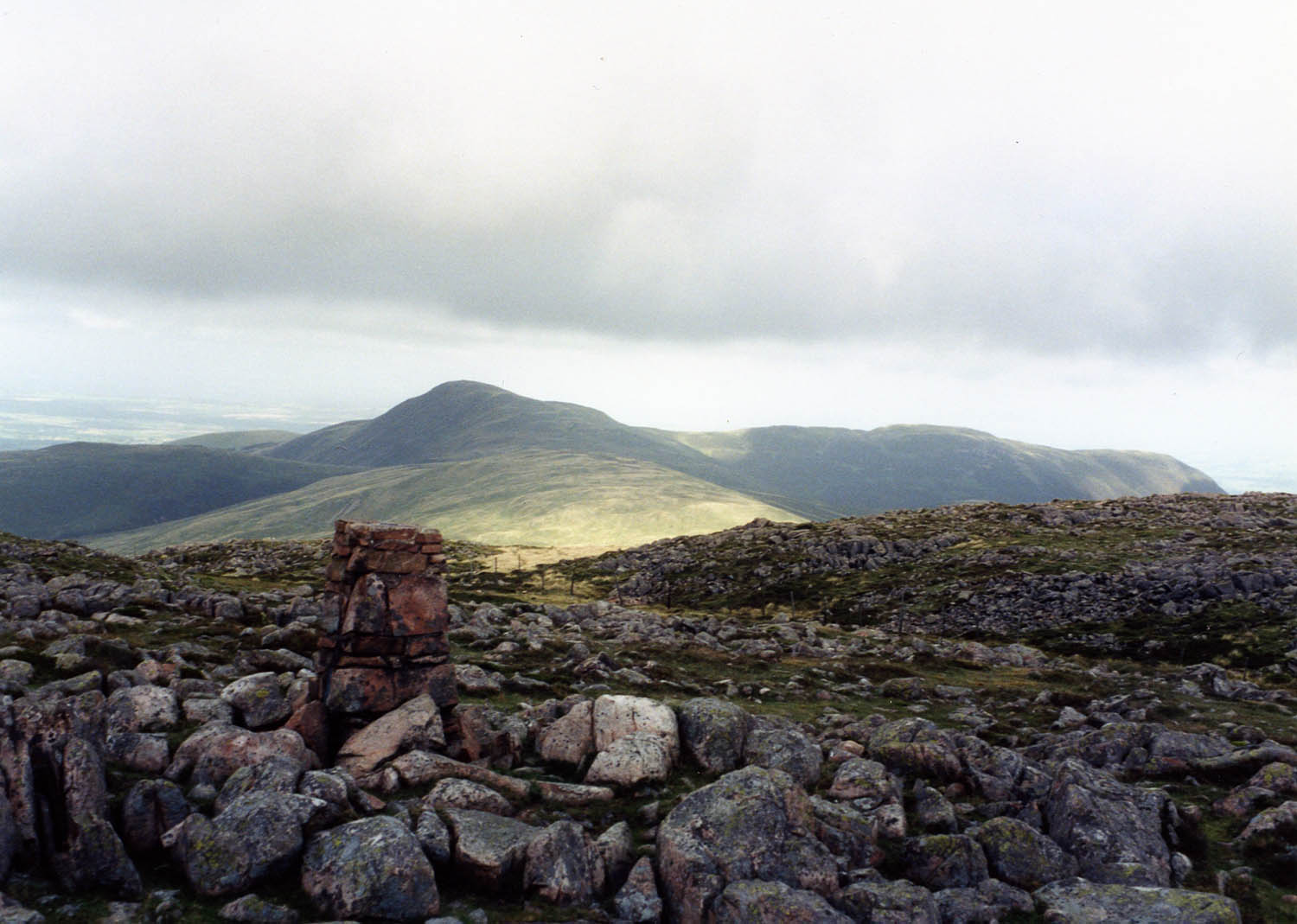
During the summer months, Brown How is adorned with colorful wildflowers, creating a vibrant and picturesque landscape. On clear days, the summit provides stunning vistas of the surrounding fells, including the iconic Skiddaw and Blencathra mountains.
Brown How offers a tranquil and peaceful environment, providing a perfect escape from the hustle and bustle of everyday life. Whether it's for a leisurely stroll or a challenging hike, this hill promises a memorable and rewarding outdoor experience for all who venture to its summit.
If you have any feedback on the listing, please let us know in the comments section below.
Brown How Images
Images are sourced within 2km of 54.529993/-3.3686041 or Grid Reference NY1115. Thanks to Geograph Open Source API. All images are credited.


Brown How is located at Grid Ref: NY1115 (Lat: 54.529993, Lng: -3.3686041)
Administrative County: Cumbria
District: Copeland
Police Authority: Cumbria
What 3 Words
///packet.duties.serves. Near Frizington, Cumbria
Nearby Locations
Related Wikis

Great Borne
Great Borne is a fell in the English Lake District with a height of 616 m (2,021 ft). It is a rather secluded hill situated at the western end of the long...
Ennerdale Water
Ennerdale Water is the most westerly lake in the Lake District National Park in Cumbria, England. It is a glacial lake, with a maximum depth of 150 feet...
Crag Fell
Crag Fell is a hill in the English Lake District. It is part of the Lank Rigg group, standing above Ennerdale Water in the Western Fells. The craggy northern...

Buttermere and Ennerdale
Buttermere and Ennerdale is a National Trust property located in the Lake District of Cumbria, England. The property comprises an area of 8,866 acres...
Gavel Fell
Gavel Fell is a hill in the English Lake District. Centremost of the five Loweswater Fells in the western part of the District, it stands between Hen Comb...
Starling Dodd
Starling Dodd is a fell in the western part of the English Lake District, located between the valleys of Ennerdale and Buttermere, on the ridge between...
Hen Comb
Hen Comb is a fell in the west of the English Lake District. One of the Loweswater Fells it lies to the south of Loweswater lake and Loweswater village...
Whoap
Whoap is a hill located near the western edge of the English Lake District, standing at 511 m. It is part of the Lank Rigg group and is separated from...
Nearby Amenities
Located within 500m of 54.529993,-3.3686041Have you been to Brown How?
Leave your review of Brown How below (or comments, questions and feedback).