Bowness Plantation
Wood, Forest in Cumberland Copeland
England
Bowness Plantation

Bowness Plantation is a picturesque and historic estate located in Cumberland, England. Situated amidst the lush woodlands and sprawling forests of the region, the plantation covers a vast area of land, offering a serene and idyllic setting for visitors.
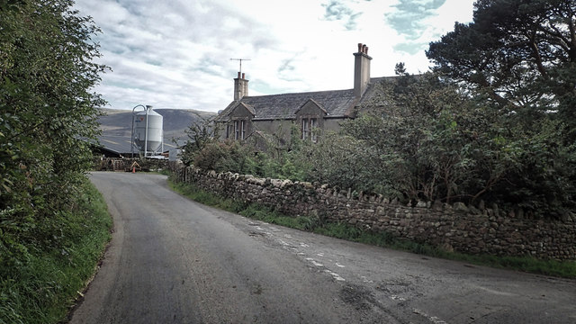
The plantation is renowned for its rich history, dating back several centuries. It was originally established in the 18th century and has since been meticulously maintained, retaining its authentic charm and beauty. The main house, a stunning Georgian manor, stands as the centerpiece of the estate, showcasing elegant architecture and period features.
Surrounding the manor are beautifully landscaped gardens, showcasing a variety of vibrant flowers, manicured lawns, and ornamental shrubs. These gardens provide a peaceful and tranquil environment for leisurely walks or picnics.
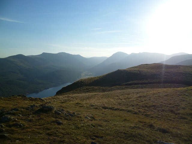
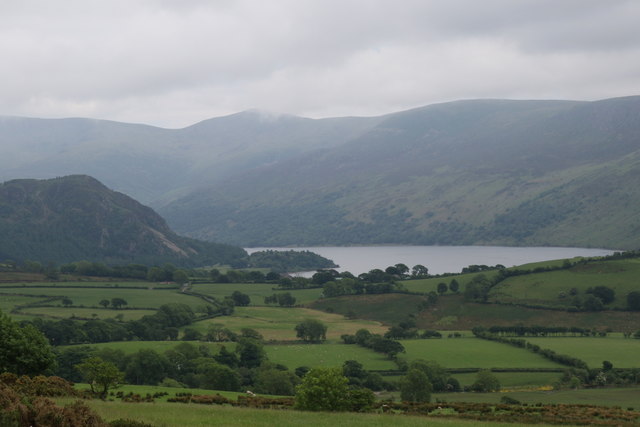
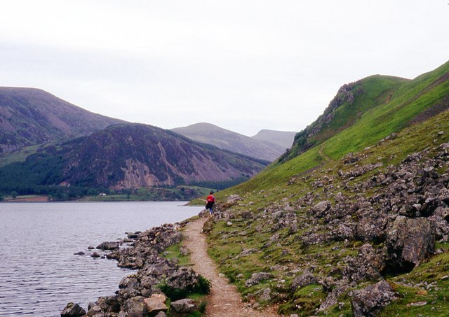
The plantation is also home to an extensive woodland and forest area, encompassing a diverse range of native trees and wildlife. Nature enthusiasts can explore the numerous walking trails that wind through the dense foliage, immersing themselves in the natural beauty of the surroundings.
In addition to its natural splendor, Bowness Plantation offers various amenities and activities for visitors. The estate features a charming tearoom where guests can enjoy refreshments and traditional English delicacies. There is also a gift shop that offers a selection of souvenirs and locally made crafts.
Bowness Plantation is a true gem in the heart of Cumberland, providing a delightful escape from the hustle and bustle of everyday life. Whether it is to appreciate its historical significance, enjoy its natural wonders, or simply relax in its serene ambiance, a visit to Bowness Plantation is sure to be a memorable experience.
If you have any feedback on the listing, please let us know in the comments section below.
Bowness Plantation Images
Images are sourced within 2km of 54.526619/-3.369681 or Grid Reference NY1115. Thanks to Geograph Open Source API. All images are credited.


Bowness Plantation is located at Grid Ref: NY1115 (Lat: 54.526619, Lng: -3.369681)
Administrative County: Cumbria
District: Copeland
Police Authority: Cumbria
What 3 Words
///agreeable.balconies.seasons. Near Frizington, Cumbria
Nearby Locations
Related Wikis
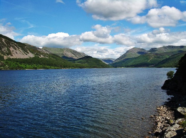
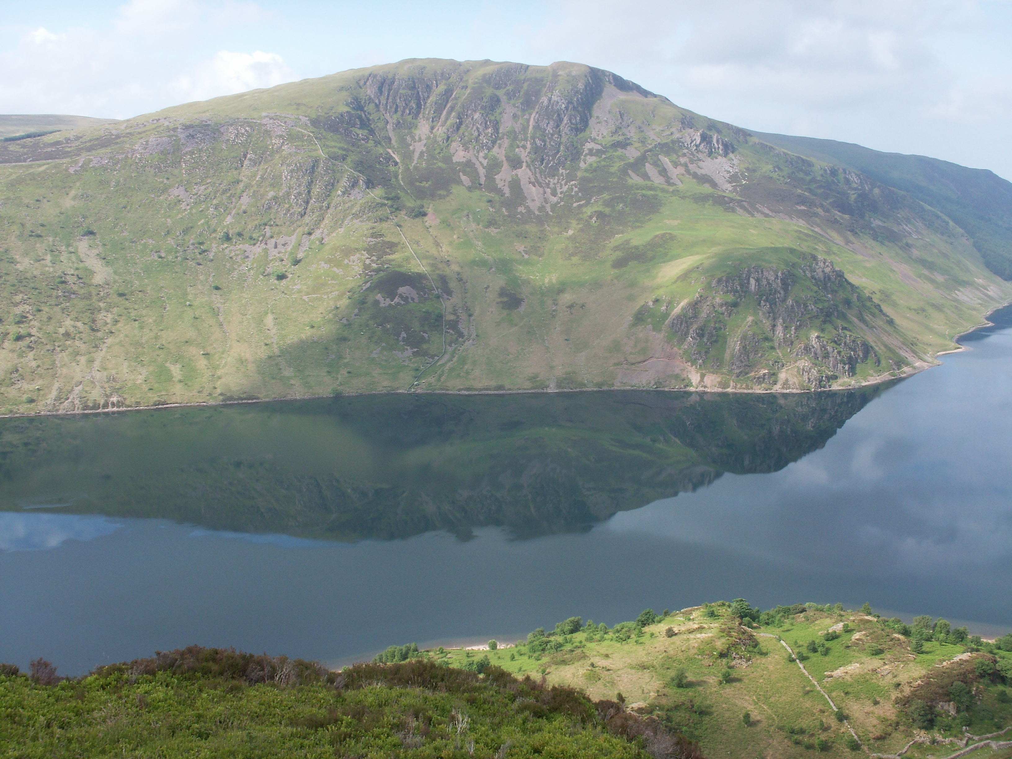
Ennerdale Water
Ennerdale Water is the most westerly lake in the Lake District National Park in Cumbria, England. It is a glacial lake, with a maximum depth of 150 feet...

Great Borne
Great Borne is a fell in the English Lake District with a height of 616 m (2,021 ft). It is a rather secluded hill situated at the western end of the long...
Crag Fell
Crag Fell is a hill in the English Lake District. It is part of the Lank Rigg group, standing above Ennerdale Water in the Western Fells. The craggy northern...

Buttermere and Ennerdale
Buttermere and Ennerdale is a National Trust property located in the Lake District of Cumbria, England. The property comprises an area of 8,866 acres...
Nearby Amenities
Located within 500m of 54.526619,-3.369681Have you been to Bowness Plantation?
Leave your review of Bowness Plantation below (or comments, questions and feedback).