Whaup Knowe
Hill, Mountain in Peeblesshire
Scotland
Whaup Knowe
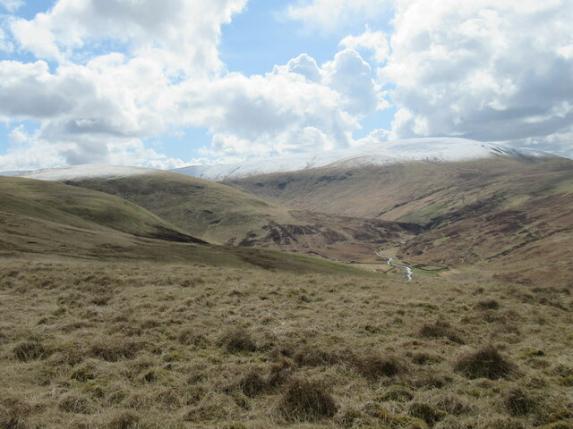
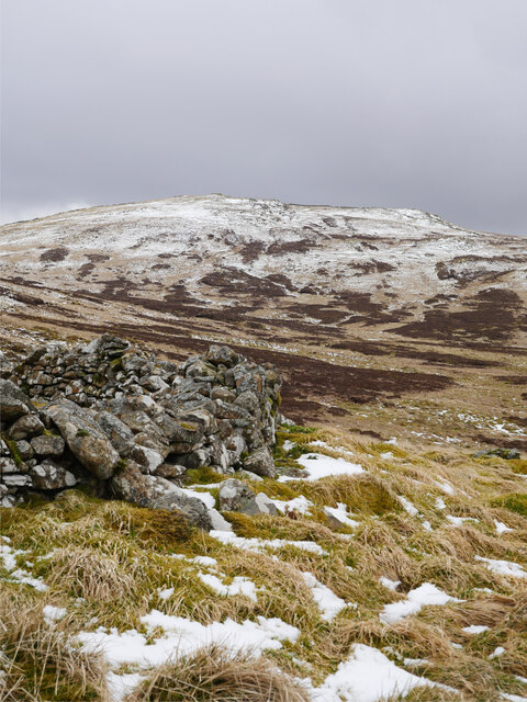
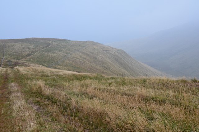
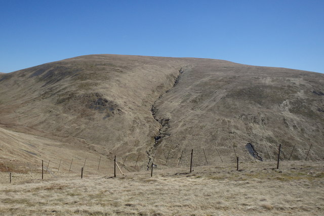
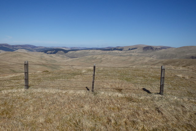
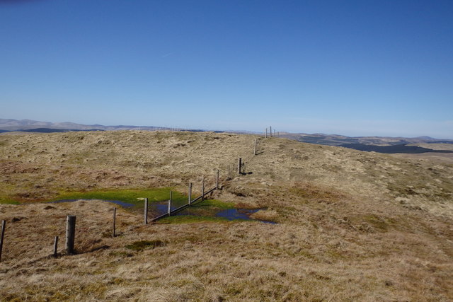
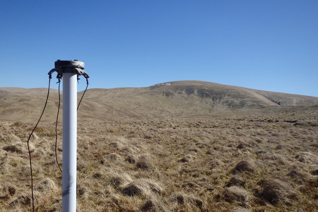
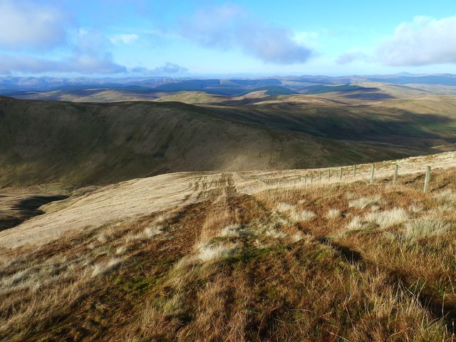
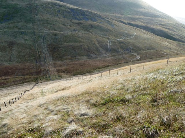
Whaup Knowe is a prominent hill located in Peeblesshire, Scotland. It is part of the wider Southern Uplands range, which stretches across the southern borders of Scotland. Standing at an elevation of approximately 427 meters (1,401 feet), Whaup Knowe offers breathtaking panoramic views of the surrounding landscape.
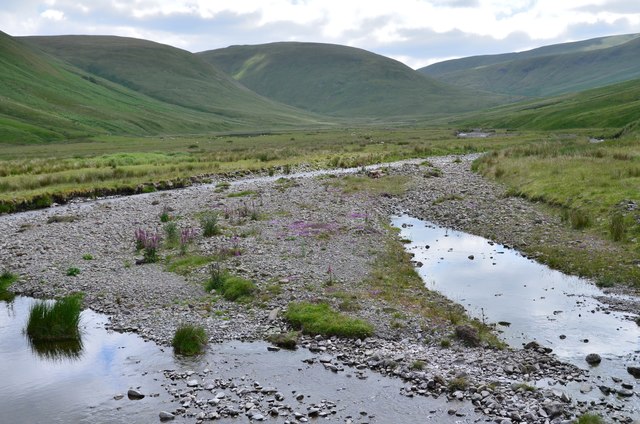
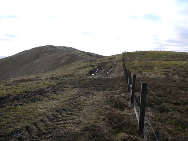
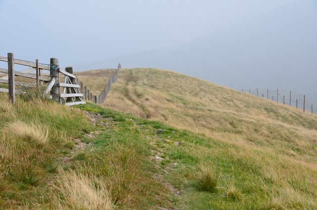
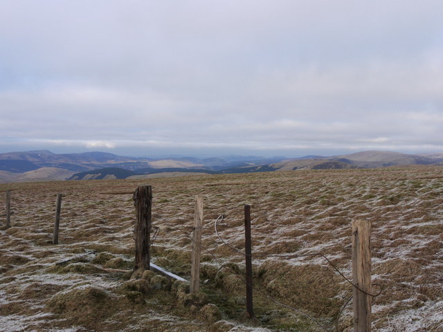
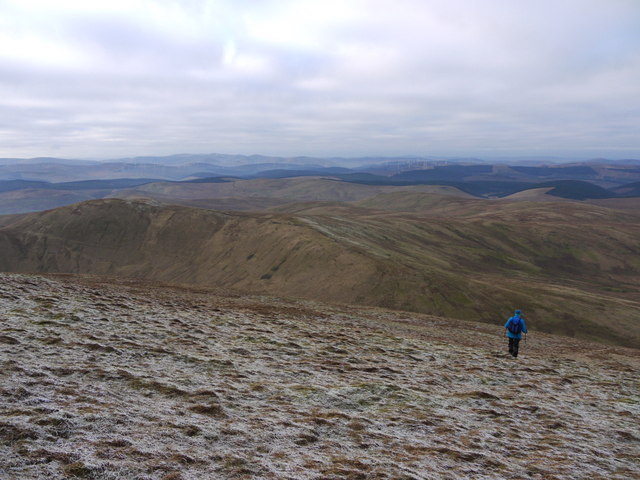
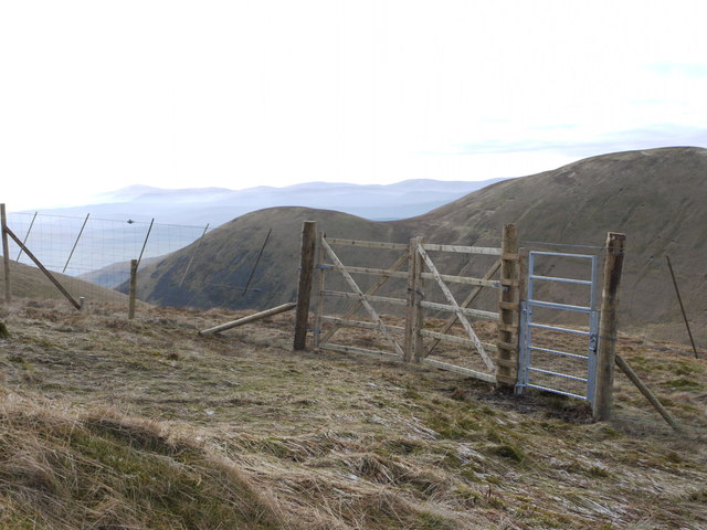
The hill is characterized by its gently sloping grassy terrain, making it a relatively easy climb for hikers of all skill levels. Its well-defined paths and trails attract outdoor enthusiasts, who often venture to the top to witness the stunning vistas that unfold before them. On a clear day, visitors can enjoy sweeping views of the rolling hills, verdant valleys, and distant peaks that define the Peeblesshire region.
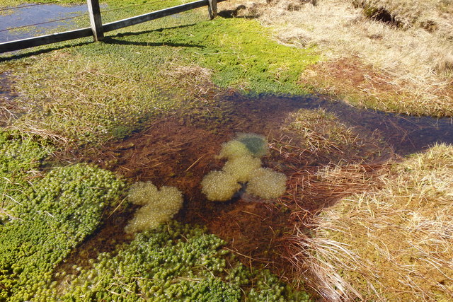
Whaup Knowe is also known for its rich biodiversity, with various species of flora and fauna calling the hill their home. The area is home to a variety of bird species, including the eponymous whaup (also known as the curlew), which can be spotted nesting or foraging in the vicinity.
The hill is easily accessible from nearby towns and villages, with well-marked trails leading to the summit. Many outdoor enthusiasts and nature lovers flock to Whaup Knowe to experience its natural beauty, engage in outdoor activities like hiking or birdwatching, and unwind amidst the tranquil surroundings.
If you have any feedback on the listing, please let us know in the comments section below.
Whaup Knowe Images
Images are sourced within 2km of 55.428956/-3.4131757 or Grid Reference NT1015. Thanks to Geograph Open Source API. All images are credited.


Whaup Knowe is located at Grid Ref: NT1015 (Lat: 55.428956, Lng: -3.4131757)
Unitary Authority: The Scottish Borders
Police Authority: The Lothians and Scottish Borders
What 3 Words
///books.lightbulb.scatter. Near Moffat, Dumfries & Galloway
Nearby Locations
Related Wikis

Moffat Hills
The Moffat Hills are a range of hills in the Southern Uplands of Scotland. They form a roughly triangular shape with a west facing side, a north facing...

Hart Fell
Hart Fell is a hill in the Moffat Hills range, part of the Southern Uplands of Scotland. It lies north of the town of Moffat on the border with the Scottish...

Fruid Reservoir
Fruid is a small reservoir in the Scottish Borders area of Scotland, UK, near Menzion. It is formed by damming the Fruid Water, and supplements the contents...

Devil's Beef Tub
The Devil's Beef Tub (Marquis of Annandale's Beef-Tub, Beef-Stand, MacCleran's Loup) is a deep, dramatic hollow in the hills north of the Scottish town...

Talla Water
Talla Water is a river in the Scottish Borders area of Scotland, near Tweedsmuir. It feeds the Talla Reservoir, and is a tributary of the River Tweed....

Annanhead Hill
Annanhead Hill is a 478-metre (1,568 ft) summit in the Moffat Hills of Scotland. It lies on the boundary between the Scottish Borders and Dumfries and...

White Coomb
White Coomb is a hill in the Moffat Hills range, part of the Southern Uplands of Scotland. Its broad summit is the highest point in the range and the registration...

Talla Reservoir
Talla Reservoir, located a mile from Tweedsmuir, Scottish Borders, Scotland, is an earth-work dam fed by Talla Water. The reservoir is supplemented by...
Have you been to Whaup Knowe?
Leave your review of Whaup Knowe below (or comments, questions and feedback).