Horsted Green

Settlement in Sussex Wealdon

England

Horsted Green

The Oast House Single square kiln oast house.
The Oast House Credit: N Chadwick

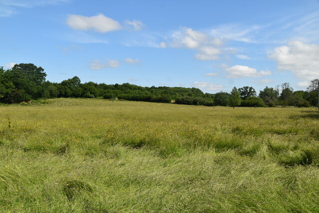
Horsted Green is a small village located in the county of Sussex, England. Situated near the town of Uckfield, it lies within the Wealden District and is surrounded by picturesque countryside. The village is home to a close-knit community and offers a peaceful and tranquil setting.

One of the notable features of Horsted Green is its charming architecture. The village boasts a collection of traditional English cottages, complete with thatched roofs and exposed timber frames, giving it a quintessential rural charm. These buildings are well-preserved and offer a glimpse into the village's rich history.

The heart of Horsted Green is its village green, a central open space that serves as a gathering point for the community. Here, residents and visitors can enjoy leisurely strolls or picnics while admiring the scenic views of the surrounding countryside. The village green also hosts local events, such as fairs and markets, fostering a strong sense of community spirit.

Despite its small size, Horsted Green is well-connected to nearby towns and cities. The village benefits from good transportation links, making it easily accessible by road and rail. This allows residents to enjoy the tranquility of rural living while still having convenient access to amenities and services in Uckfield and other nearby towns.

In summary, Horsted Green is a charming village in Sussex, known for its beautiful architecture, village green, and close-knit community. It offers a peaceful escape from the hustle and bustle of city life while maintaining good connections to nearby towns and cities.

If you have any feedback on the listing, please let us know in the comments section below.

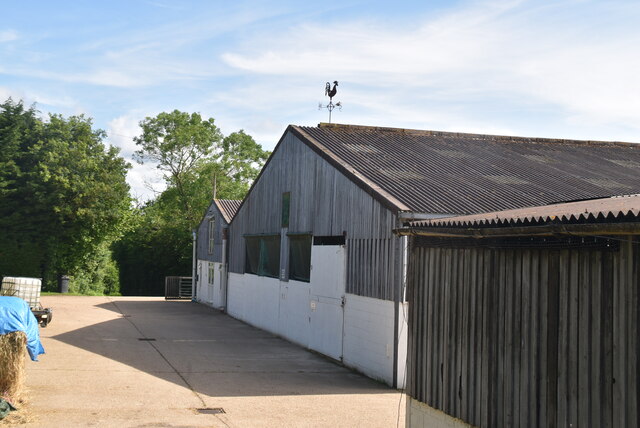
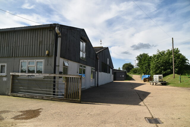
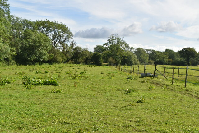
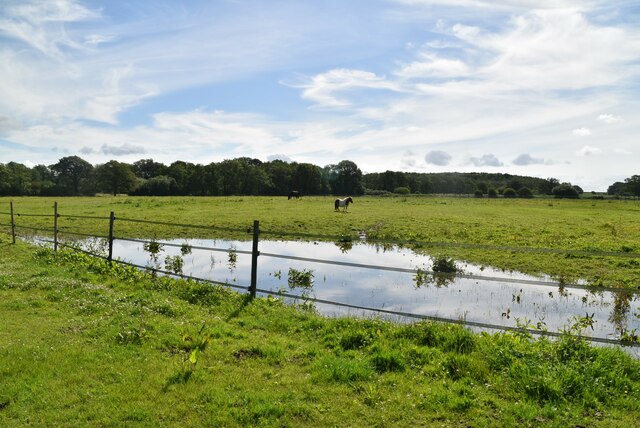
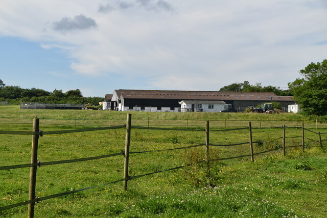
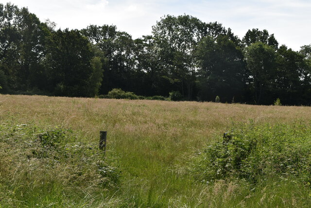
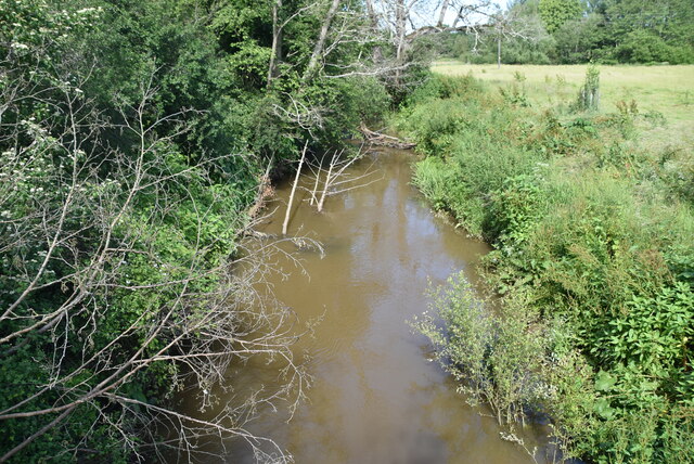
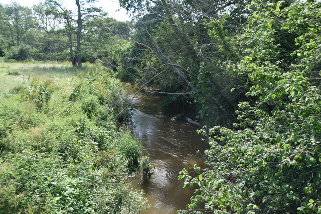
Horsted Green Images

Images are sourced within 2km of 50.951948/0.07718704 or Grid Reference TQ4619. Thanks to Geograph Open Source API. All images are credited.

The Oast House Single square kiln oast house.
The Oast House
Single square kiln oast house.
Isfield Village Hall Isfield lies just off the main A26 Uckfield to Lewes main road, and is well hidden in the Ouse valley. The Romans established a staging post in the village, near a ford across the Ouse, this was on a section of Ermine Street which ran from Newhaven to London, passing through Lewes and Isfield and Maresfield. The village was recorded as Sifelle in the Domesday book.
More info at <span class="nowrap"><a title="http://www.villagenet.co.uk/ashdownforest/villages/isfield.php" rel="nofollow ugc noopener" href="http://www.villagenet.co.uk/ashdownforest/villages/isfield.php">Link</a><img style="margin-left:2px;" alt="External link" title="External link - shift click to open in new window" src="https://s1.geograph.org.uk/img/external.png" width="10" height="10"/></span>
Isfield Village Hall
Isfield lies just off the main A26 Uckfield to Lewes main road, and is well hidden in the Ouse valley. The Romans established a staging post in the village, near a ford across the Ouse, this was on a section of Ermine Street which ran from Newhaven to London, passing through Lewes and Isfield and Maresfield. The village was recorded as Sifelle in the Domesday book. More info at LinkExternal link
Station Rd Isfield lies just off the main A26 Uckfield to Lewes main road, and is well hidden in the Ouse valley. The Romans established a staging post in the village, near a ford across the Ouse, this was on a section of Ermine Street which ran from Newhaven to London, passing through Lewes and Isfield and Maresfield. The village was recorded as Sifelle in the Domesday book.
More info at <span class="nowrap"><a title="http://www.villagenet.co.uk/ashdownforest/villages/isfield.php" rel="nofollow ugc noopener" href="http://www.villagenet.co.uk/ashdownforest/villages/isfield.php">Link</a><img style="margin-left:2px;" alt="External link" title="External link - shift click to open in new window" src="https://s1.geograph.org.uk/img/external.png" width="10" height="10"/></span>
Station Rd
Isfield lies just off the main A26 Uckfield to Lewes main road, and is well hidden in the Ouse valley. The Romans established a staging post in the village, near a ford across the Ouse, this was on a section of Ermine Street which ran from Newhaven to London, passing through Lewes and Isfield and Maresfield. The village was recorded as Sifelle in the Domesday book. More info at LinkExternal link
Track in Isfield
Track in Isfield
Faulkners
Faulkners
Pasture
Pasture
Tile Barn Farmhouse
Tile Barn Farmhouse
Tile Barn Farm
Tile Barn Farm
Tile Barn Farm
Tile Barn Farm
A green lane
A green lane
Grassy footpath
Grassy footpath
A small pond
A small pond
Tile Barn Farm
Tile Barn Farm
Meadow
Meadow
Meadow
Meadow
River Uck The River Uck is a river in East Sussex, which drains a catchment starting near Crowborough in the North, Hadlow Down to the East and Laughton Common to the South.It flows through the town of Uckfield and into the river Ouse about 3 miles north of Lewes. The river Uck also has a scenic walk alongside it. The river burst its banks in 2000, flooding much of Uckfield and the surrounding countryside.
River Uck
The River Uck is a river in East Sussex, which drains a catchment starting near Crowborough in the North, Hadlow Down to the East and Laughton Common to the South.It flows through the town of Uckfield and into the river Ouse about 3 miles north of Lewes. The river Uck also has a scenic walk alongside it. The river burst its banks in 2000, flooding much of Uckfield and the surrounding countryside.
Meadow by the River Uck
Show me another place!

Horsted Green is located at Grid Ref: TQ4619 (Lat: 50.951948, Lng: 0.07718704)

Administrative County: East Sussex

District: Wealdon

Police Authority: Sussex

What 3 Words

///observer.boards.emperor. Near Uckfield, East Sussex

Related Wikis

Little Horsted

Little Horsted (also known as Horsted Parva) is a village and civil parish in the Wealden district of East Sussex, England. It is located two miles (3...

Horsted Place

Horsted Place is a Tudor Revival country house, now a hotel, in Little Horsted, East Sussex, England. The current building dates to 1850, when it was built...

Uckfield Town F.C.

Uckfield Town F.C. was a football club based in Uckfield, East Sussex, England. For their final season, 2013–14, they were members of the Sussex County...

Isfield railway station

Isfield is a preserved railway station on the closed section of the Wealden Line which served the East Sussex village of Isfield near Uckfield. Originally...

East Sussex National Golf Club

East Sussex National Golf Club is a golf course located near to Uckfield in East Sussex. It is considered one of the finer golf courses in the British...

Lavender Line

The Lavender Line is a heritage railway based at Isfield Station, near Uckfield in East Sussex, England. == History == The Lavender Line was originally...

River Uck

The River Uck is a river in East Sussex, United Kingdom, which drains a catchment starting near Crowborough in the North, Hadlow Down to the East and Laughton...

Uckfield railway station

Uckfield railway station is the southern terminus of a branch of the Oxted Line in England, serving the town of Uckfield, East Sussex. It is 46 miles 8...

Nearby Amenities

Located within 500m of 50.951948,0.07718704
Power: tower
Lat/Long: 50.9538391/0.0756071
Power: tower
Lat/Long: 50.9521277/0.0815287
Material: wood
Power: pole
Source: bing
Lat/Long: 50.9478708/0.076175
Material: wood
Power: pole
Source: bing
Lat/Long: 50.9481125/0.0794314
Material: wood
Power: pole
Source: bing
Lat/Long: 50.948474/0.0771324
Material: wood
Power: pole
Source: bing
Lat/Long: 50.9488939/0.080162
Material: wood
Power: pole
Source: bing
Lat/Long: 50.9493114/0.0782202
Material: wood
Power: pole
Source: bing
Lat/Long: 50.9501404/0.0792783
Material: wood
Power: pole
Source: bing
Lat/Long: 50.950431/0.0816154
Material: wood
Power: pole
Source: bing
Lat/Long: 50.9509181/0.0837665
Material: wood
Power: pole
Source: bing
Lat/Long: 50.9509584/0.0803364
Material: wood
Power: pole
Source: bing
Lat/Long: 50.951172/0.0823189
Material: wood
Power: pole
Source: bing
Lat/Long: 50.9517336/0.0813596
Material: wood
Power: pole
Source: bing
Lat/Long: 50.9528153/0.0805689
Material: wood
Power: pole
Source: bing
Lat/Long: 50.9536479/0.0835398
Material: wood
Power: pole
Source: bing
Lat/Long: 50.9538078/0.0797763
Material: wood
Power: pole
Source: bing
Lat/Long: 50.9541484/0.0829623
Material: wood
Power: pole
Source: bing
Lat/Long: 50.9546782/0.0804178
Material: wood
Power: pole
Source: bing
Lat/Long: 50.9548858/0.0824255
Material: wood
Power: pole
Source: bing
Lat/Long: 50.9555913/0.0810961
Artwork Type: sculpture
Tourism: artwork
Lat/Long: 50.9539088/0.0833121
Artwork Type: sculpture
Tourism: artwork
Lat/Long: 50.9540643/0.0833523
The data included in this document is from www.openstreetmap.org. The data is made available under ODbL.

Have you been to Horsted Green?

Leave your review of Horsted Green below (or comments, questions and feedback).