Stroodland Wood

Wood, Forest in Sussex Wealden

England

Stroodland Wood

The Oast House Single square kiln oast house.
The Oast House Credit: N Chadwick

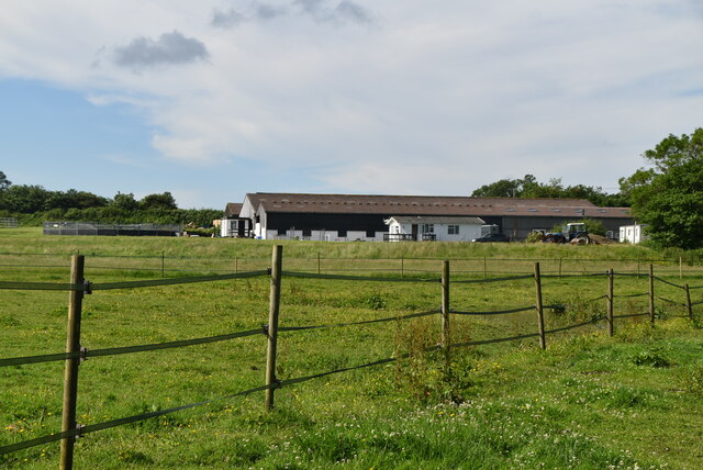
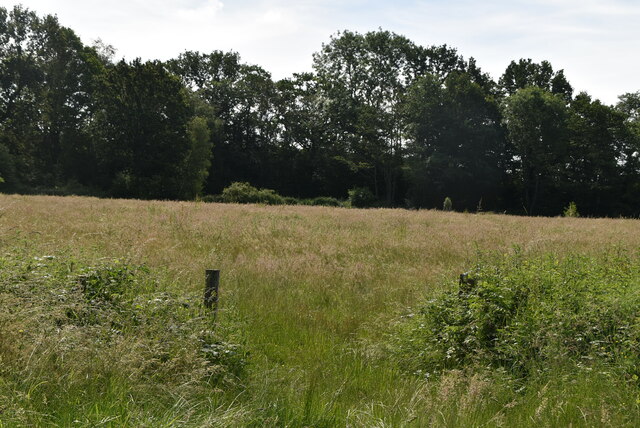
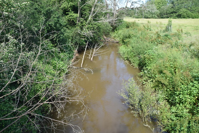
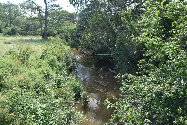
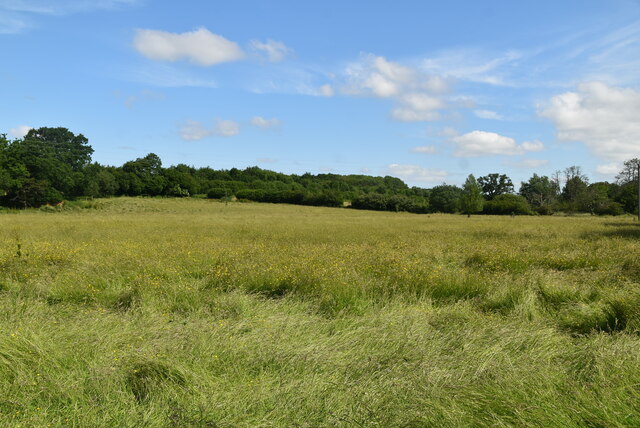
Stroodland Wood, located in Sussex, England, is a picturesque forest that spans over a vast area of land. Situated amidst the rolling hills and scenic landscapes, the wood is renowned for its natural beauty and diverse flora and fauna. It is a popular destination for nature enthusiasts and hikers, offering a serene and tranquil environment away from the hustle and bustle of city life.

The wood is primarily composed of a variety of deciduous trees, including oak, beech, and birch, which create a dense canopy that provides shade and shelter to the woodland floor. This vibrant ecosystem supports a wide range of plant life, such as bluebells, primroses, and ferns, adding to the enchanting atmosphere of the wood.

Stroodland Wood is also home to a diverse array of wildlife, including various species of birds, mammals, and insects. Birdwatchers can often spot woodpeckers, owls, and thrushes among the tree branches, while squirrels and deer can be observed roaming freely throughout the wood. Additionally, the wood provides a habitat for numerous insects, including butterflies and beetles.

The wood features a network of well-maintained trails and paths, allowing visitors to explore its beauty at their own pace. Whether it's a leisurely stroll or a more challenging hike, Stroodland Wood offers something for everyone. There are also designated picnic areas and benches, providing a perfect spot to rest and enjoy a packed lunch amidst the natural surroundings.

Overall, Stroodland Wood is a captivating forest that showcases the splendor of nature in Sussex. Its rich biodiversity, stunning landscapes, and peaceful atmosphere make it an ideal destination for nature lovers and those seeking a tranquil escape.

If you have any feedback on the listing, please let us know in the comments section below.

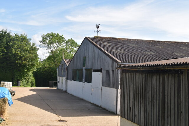
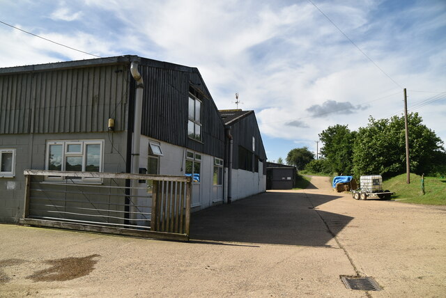
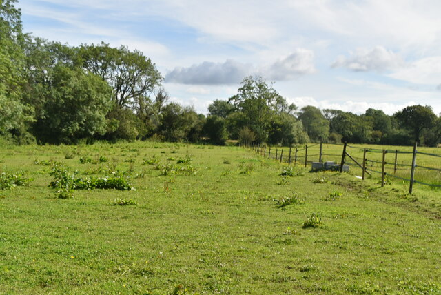
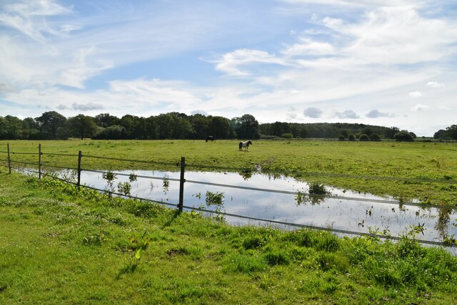
Stroodland Wood Images

Images are sourced within 2km of 50.954782/0.077598224 or Grid Reference TQ4619. Thanks to Geograph Open Source API. All images are credited.

The Oast House Single square kiln oast house.
The Oast House
Single square kiln oast house.
Isfield Village Hall Isfield lies just off the main A26 Uckfield to Lewes main road, and is well hidden in the Ouse valley. The Romans established a staging post in the village, near a ford across the Ouse, this was on a section of Ermine Street which ran from Newhaven to London, passing through Lewes and Isfield and Maresfield. The village was recorded as Sifelle in the Domesday book.
More info at <span class="nowrap"><a title="http://www.villagenet.co.uk/ashdownforest/villages/isfield.php" rel="nofollow ugc noopener" href="http://www.villagenet.co.uk/ashdownforest/villages/isfield.php">Link</a><img style="margin-left:2px;" alt="External link" title="External link - shift click to open in new window" src="https://s1.geograph.org.uk/img/external.png" width="10" height="10"/></span>
Isfield Village Hall
Isfield lies just off the main A26 Uckfield to Lewes main road, and is well hidden in the Ouse valley. The Romans established a staging post in the village, near a ford across the Ouse, this was on a section of Ermine Street which ran from Newhaven to London, passing through Lewes and Isfield and Maresfield. The village was recorded as Sifelle in the Domesday book. More info at LinkExternal link
Station Rd Isfield lies just off the main A26 Uckfield to Lewes main road, and is well hidden in the Ouse valley. The Romans established a staging post in the village, near a ford across the Ouse, this was on a section of Ermine Street which ran from Newhaven to London, passing through Lewes and Isfield and Maresfield. The village was recorded as Sifelle in the Domesday book.
More info at <span class="nowrap"><a title="http://www.villagenet.co.uk/ashdownforest/villages/isfield.php" rel="nofollow ugc noopener" href="http://www.villagenet.co.uk/ashdownforest/villages/isfield.php">Link</a><img style="margin-left:2px;" alt="External link" title="External link - shift click to open in new window" src="https://s1.geograph.org.uk/img/external.png" width="10" height="10"/></span>
Station Rd
Isfield lies just off the main A26 Uckfield to Lewes main road, and is well hidden in the Ouse valley. The Romans established a staging post in the village, near a ford across the Ouse, this was on a section of Ermine Street which ran from Newhaven to London, passing through Lewes and Isfield and Maresfield. The village was recorded as Sifelle in the Domesday book. More info at LinkExternal link
Track in Isfield
Track in Isfield
Faulkners
Faulkners
Pasture
Pasture
Tile Barn Farmhouse
Tile Barn Farmhouse
Tile Barn Farm
Tile Barn Farm
Tile Barn Farm
Tile Barn Farm
A green lane
A green lane
Grassy footpath
Grassy footpath
A small pond
A small pond
Tile Barn Farm
Tile Barn Farm
Meadow
Meadow
Meadow
Meadow
River Uck The River Uck is a river in East Sussex, which drains a catchment starting near Crowborough in the North, Hadlow Down to the East and Laughton Common to the South.It flows through the town of Uckfield and into the river Ouse about 3 miles north of Lewes. The river Uck also has a scenic walk alongside it. The river burst its banks in 2000, flooding much of Uckfield and the surrounding countryside.
River Uck
The River Uck is a river in East Sussex, which drains a catchment starting near Crowborough in the North, Hadlow Down to the East and Laughton Common to the South.It flows through the town of Uckfield and into the river Ouse about 3 miles north of Lewes. The river Uck also has a scenic walk alongside it. The river burst its banks in 2000, flooding much of Uckfield and the surrounding countryside.
Meadow by the River Uck
Show me another place!

Stroodland Wood is located at Grid Ref: TQ4619 (Lat: 50.954782, Lng: 0.077598224)

Administrative County: East Sussex

District: Wealden

Police Authority: Sussex

What 3 Words

///brightens.pints.nipped. Near Uckfield, East Sussex

Related Wikis

Little Horsted

Little Horsted (also known as Horsted Parva) is a village and civil parish in the Wealden district of East Sussex, England. It is located two miles (3...

Horsted Place

Horsted Place is a Tudor Revival country house, now a hotel, in Little Horsted, East Sussex, England. The current building dates to 1850, when it was built...

Uckfield Town F.C.

Uckfield Town F.C. was a football club based in Uckfield, East Sussex, England. For their final season, 2013–14, they were members of the Sussex County...

Uckfield railway station

Uckfield railway station is the southern terminus of a branch of the Oxted Line in England, serving the town of Uckfield, East Sussex. It is 46 miles 8...

Related Videos

Resurrecting a Forgotten Legend - HTPG 2019 Crowdfunder

In 2019, the Hawker Typhoon Preservation Group launched a crowdfunding effort to raise funds to restore the rear fuselage of ...

Croquet Lawn Sunshine

The beautiful croquet lawn at Horsted Place Hotel in East Sussex. It is hard to believe that winter is just round the corner.....

UCKFIELD DELIVERING!

Make sure to press the subscribe button! Tiktok - https://vm.tiktok.com/ZMRmUmaqd/ Instagram bio - ...

Holiday Camps at Sky High at Fun Abounds πŸ€Έβ€β™€οΈ

Come and fun with us during the holidays at our Holiday Camps located at our dedicated gymnastics facility located in Uckfield, ...

Nearby Amenities

Located within 500m of 50.954782,0.077598224
Power: tower
Lat/Long: 50.9538391/0.0756071
Power: tower
Lat/Long: 50.9521277/0.0815287
Power: tower
Lat/Long: 50.9551185/0.0709934
Material: wood
Power: pole
Source: bing
Lat/Long: 50.9509584/0.0803364
Material: wood
Power: pole
Source: bing
Lat/Long: 50.9517336/0.0813596
Material: wood
Power: pole
Source: bing
Lat/Long: 50.9528153/0.0805689
Material: wood
Power: pole
Source: bing
Lat/Long: 50.9531986/0.084063
Material: wood
Power: pole
Source: bing
Lat/Long: 50.9536479/0.0835398
Material: wood
Power: pole
Source: bing
Lat/Long: 50.9538078/0.0797763
Material: wood
Power: pole
Source: bing
Lat/Long: 50.9541484/0.0829623
Material: wood
Power: pole
Source: bing
Lat/Long: 50.9546782/0.0804178
Material: wood
Power: pole
Source: bing
Lat/Long: 50.9548858/0.0824255
Material: wood
Power: pole
Source: bing
Lat/Long: 50.9555913/0.0810961
Material: wood
Power: pole
Source: bing
Lat/Long: 50.9556292/0.0818693
Material: wood
Power: pole
Source: bing
Lat/Long: 50.9564471/0.0817259
Material: wood
Power: pole
Source: bing
Lat/Long: 50.9564886/0.0812453
Material: wood
Power: pole
Source: bing
Lat/Long: 50.9571646/0.0822512
Material: wood
Power: pole
Source: bing
Lat/Long: 50.9577757/0.0803793
College Farm
Place: farm
Source Name: OS_OpenData_Streetview
Lat/Long: 50.9552309/0.0836514
Owlsbury Poultry Farm
Place: farm
Source Name: OS_OpenData_Streetview
Lat/Long: 50.9570692/0.0797649
Artwork Type: sculpture
Tourism: artwork
Lat/Long: 50.9545754/0.0844668
Artwork Type: sculpture
Tourism: artwork
Lat/Long: 50.9545247/0.0838847
Artwork Type: sculpture
Tourism: artwork
Lat/Long: 50.9539088/0.0833121
Artwork Type: sculpture
Tourism: artwork
Lat/Long: 50.9540643/0.0833523
Barrier: kissing_gate
Lat/Long: 50.9551946/0.0836259
Bench
Lat/Long: 50.9539171/0.0841084
Tourism: information
Lat/Long: 50.9552128/0.0839078
Barrier: stile
Lat/Long: 50.9592479/0.078021
Barrier: stile
Lat/Long: 50.959079/0.0782047
The data included in this document is from www.openstreetmap.org. The data is made available under ODbL.

Have you been to Stroodland Wood?

Leave your review of Stroodland Wood below (or comments, questions and feedback).