The Eyes Plantation

Wood, Forest in Sussex Wealden

England

The Eyes Plantation

Highview Lane
Highview Lane Credit: N Chadwick

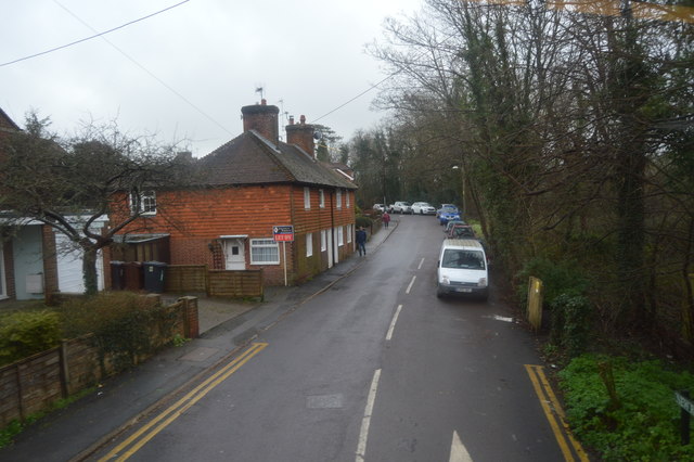
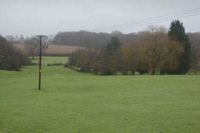
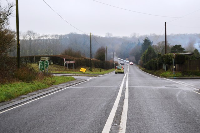
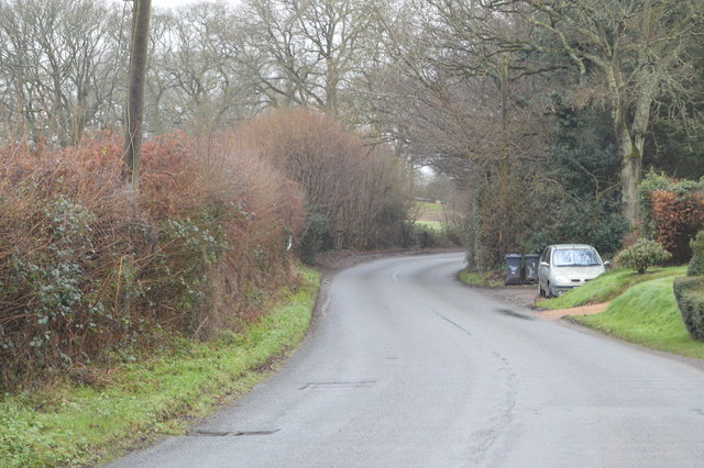
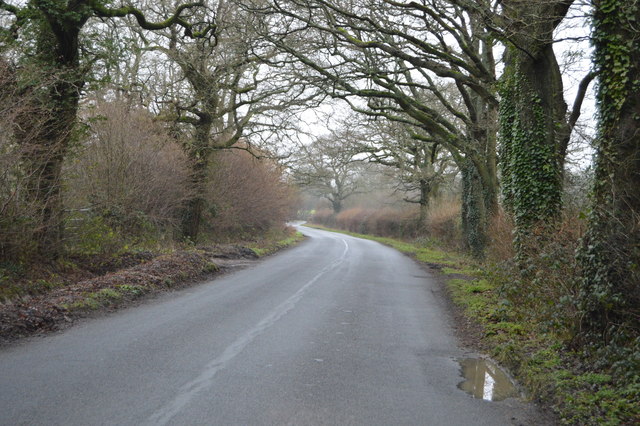
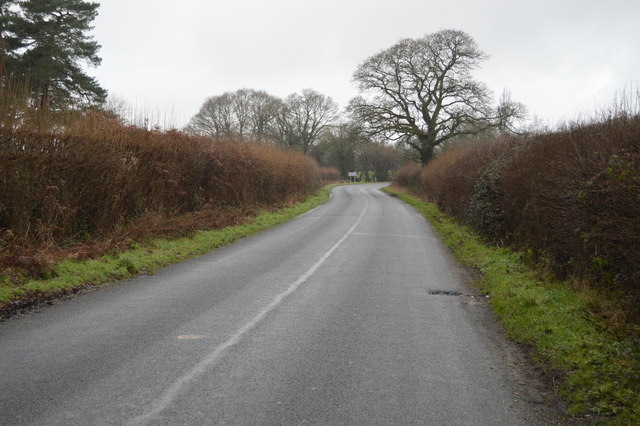
The Eyes Plantation is a beautiful woodland area located in Sussex, England. Covering a vast area of lush greenery, the plantation is home to a variety of trees, including oak, beech, and ash. The forest floor is covered with a carpet of ferns, moss, and wildflowers, creating a serene and tranquil atmosphere.

The Eyes Plantation is known for its abundance of wildlife, with numerous species of birds, mammals, and insects calling the forest home. Visitors to the plantation may spot deer, squirrels, and rabbits among the trees, as well as a variety of bird species flitting through the branches.

The plantation is a popular destination for nature lovers and outdoor enthusiasts, who come to explore the winding trails and immerse themselves in the beauty of the natural surroundings. Hiking, birdwatching, and photography are popular activities in the plantation, allowing visitors to connect with nature and appreciate the peaceful and untouched beauty of the forest.

Overall, The Eyes Plantation is a hidden gem in Sussex, offering a peaceful escape from the hustle and bustle of everyday life and providing a sanctuary for both wildlife and humans alike.

If you have any feedback on the listing, please let us know in the comments section below.

The Eyes Plantation Images

Images are sourced within 2km of 50.94839/0.077512467 or Grid Reference TQ4618. Thanks to Geograph Open Source API. All images are credited.

Highview Lane
Highview Lane
New Rd
New Rd
Trees, Horsted Pond Farm
A22, looking south The A22 is one of the  major roads in the south east of England. It carries traffic from London to Eastbourne on the East Sussex coast. The route goes through Purley, East Grinstead, Forest Row, Hailsham and Polegate. A distance of 48 miles.
<span class="nowrap"><a title="http://www.sabre-roads.org.uk/wiki/index.php?title=B2104" rel="nofollow ugc noopener" href="http://www.sabre-roads.org.uk/wiki/index.php?title=B2104">Link</a><img style="margin-left:2px;" alt="External link" title="External link - shift click to open in new window" src="https://s1.geograph.org.uk/img/external.png" width="10" height="10"/></span>
A22, looking south
The A22 is one of the major roads in the south east of England. It carries traffic from London to Eastbourne on the East Sussex coast. The route goes through Purley, East Grinstead, Forest Row, Hailsham and Polegate. A distance of 48 miles. LinkExternal link
Pylon, Little Horsted
Church of St michael & All Angels Most of the church dates from a rebuild in 1863, however some wall arches of the north wall of the chancel are 12th Century, containing 2 small round-headed windows. 
The tall tower is 15th C. and the turret was raised and given a conical top in 1863, when Sir George Gilbert Scott oversaw the rebuilding with 14th C details.
There is an interesting tomb slab of about 1500 in a recess in the chancel, said to be a member of the Delves family, Yeomen in the parish. However it has also been claimed to belong to William Dean, Knight. Currently it is blocked by pews and furniture.
Church of St michael & All Angels
Most of the church dates from a rebuild in 1863, however some wall arches of the north wall of the chancel are 12th Century, containing 2 small round-headed windows. The tall tower is 15th C. and the turret was raised and given a conical top in 1863, when Sir George Gilbert Scott oversaw the rebuilding with 14th C details. There is an interesting tomb slab of about 1500 in a recess in the chancel, said to be a member of the Delves family, Yeomen in the parish. However it has also been claimed to belong to William Dean, Knight. Currently it is blocked by pews and furniture.
A26, southbound The A26 is a 50 mile route from Maidstone to Newhaven via Tunbridge Wells. <span class="nowrap"><a title="http://www.sabre-roads.org.uk/wiki/index.php?title=A26" rel="nofollow ugc noopener" href="http://www.sabre-roads.org.uk/wiki/index.php?title=A26">Link</a><img style="margin-left:2px;" alt="External link" title="External link - shift click to open in new window" src="https://s1.geograph.org.uk/img/external.png" width="10" height="10"/></span>
A26, southbound
The A26 is a 50 mile route from Maidstone to Newhaven via Tunbridge Wells. LinkExternal link
A26, northbound The A26 is a 50 mile route from Maidstone to Newhaven via Tunbridge Wells. <span class="nowrap"><a title="http://www.sabre-roads.org.uk/wiki/index.php?title=A26" rel="nofollow ugc noopener" href="http://www.sabre-roads.org.uk/wiki/index.php?title=A26">Link</a><img style="margin-left:2px;" alt="External link" title="External link - shift click to open in new window" src="https://s1.geograph.org.uk/img/external.png" width="10" height="10"/></span>
A26, northbound
The A26 is a 50 mile route from Maidstone to Newhaven via Tunbridge Wells. LinkExternal link
Corner of Horsted Lane
Horsted Lane
Horsted Lane
Horsted Lane Isfield lies just off the main A26 Uckfield to Lewes main road, and is well hidden in the Ouse valley. The Romans established a staging post in the village, near a ford across the Ouse, this was on a section of Ermine Street which ran from Newhaven to London, passing through Lewes and Isfield and Maresfield. The village was recorded as Sifelle in the Domesday book.
More info at <span class="nowrap"><a title="http://www.villagenet.co.uk/ashdownforest/villages/isfield.php" rel="nofollow ugc noopener" href="http://www.villagenet.co.uk/ashdownforest/villages/isfield.php">Link</a><img style="margin-left:2px;" alt="External link" title="External link - shift click to open in new window" src="https://s1.geograph.org.uk/img/external.png" width="10" height="10"/></span>
Horsted Lane
Isfield lies just off the main A26 Uckfield to Lewes main road, and is well hidden in the Ouse valley. The Romans established a staging post in the village, near a ford across the Ouse, this was on a section of Ermine Street which ran from Newhaven to London, passing through Lewes and Isfield and Maresfield. The village was recorded as Sifelle in the Domesday book. More info at LinkExternal link
Horsted Lane
Horsted Lane
Field by Horsted Lane
Horsted Lane
Horsted Lane
Entering Isfield, Horsted Lane Isfield lies just off the main A26 Uckfield to Lewes main road, and is well hidden in the Ouse valley. The Romans established a staging post in the village, near a ford across the Ouse, this was on a section of Ermine Street which ran from Newhaven to London, passing through Lewes and Isfield and Maresfield. The village was recorded as Sifelle in the Domesday book.
More info at <span class="nowrap"><a title="http://www.villagenet.co.uk/ashdownforest/villages/isfield.php" rel="nofollow ugc noopener" href="http://www.villagenet.co.uk/ashdownforest/villages/isfield.php">Link</a><img style="margin-left:2px;" alt="External link" title="External link - shift click to open in new window" src="https://s1.geograph.org.uk/img/external.png" width="10" height="10"/></span>
Entering Isfield, Horsted Lane
Isfield lies just off the main A26 Uckfield to Lewes main road, and is well hidden in the Ouse valley. The Romans established a staging post in the village, near a ford across the Ouse, this was on a section of Ermine Street which ran from Newhaven to London, passing through Lewes and Isfield and Maresfield. The village was recorded as Sifelle in the Domesday book. More info at LinkExternal link
Barn north of Horsted Lane
Footpaths off Horsted Lane
Horsted Lane
Horsted Lane
Show me another place!

The Eyes Plantation is located at Grid Ref: TQ4618 (Lat: 50.94839, Lng: 0.077512467)

Administrative County: East Sussex

District: Wealden

Police Authority: Sussex

What 3 Words

///anchorman.scanty.retrain. Near Uckfield, East Sussex

Nearby Locations

The Eyes Plantation

Related Wikis

Horsted Place

Horsted Place is a Tudor Revival country house, now a hotel, in Little Horsted, East Sussex, England. The current building dates to 1850, when it was built...

Little Horsted

Little Horsted (also known as Horsted Parva) is a village and civil parish in the Wealden district of East Sussex, England. It is located two miles (3...

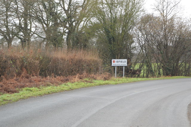
Isfield railway station

Isfield is a preserved railway station on the closed section of the Wealden Line which served the East Sussex village of Isfield near Uckfield. Originally...

Lavender Line

The Lavender Line is a heritage railway based at Isfield Station, near Uckfield in East Sussex, England. == History == The Lavender Line was originally...

Nearby Amenities

Located within 500m of 50.94839,0.077512467
Railway: buffer_stop
Lat/Long: 50.9468597/0.0734804
Worth Halt
Operator: The Lavender Line
Public Transport: station
Railway: station
Railway Preserved: yes
Usage: tourism
Website: https://www.lavender-line.co.uk
Lat/Long: 50.946582/0.0732256
Material: wood
Power: pole
Source: bing
Lat/Long: 50.9440486/0.0770156
Material: wood
Power: pole
Source: bing
Lat/Long: 50.9447084/0.076902
Material: wood
Power: pole
Source: bing
Lat/Long: 50.9452371/0.0735905
Material: wood
Power: pole
Source: bing
Lat/Long: 50.9453404/0.0768042
Material: wood
Power: pole
Source: bing
Lat/Long: 50.9454521/0.0722197
Material: wood
Power: pole
Source: bing
Lat/Long: 50.9456742/0.0728618
Material: wood
Power: pole
Source: bing
Lat/Long: 50.9460042/0.0766938
Material: wood
Power: pole
Source: bing
Lat/Long: 50.9460185/0.0740207
Material: wood
Power: pole
Source: bing
Lat/Long: 50.9461443/0.0734625
Material: wood
Power: pole
Source: bing
Lat/Long: 50.9467181/0.0765729
Material: wood
Power: pole
Source: bing
Lat/Long: 50.9467195/0.0743476
Material: wood
Power: pole
Source: bing
Lat/Long: 50.9470698/0.0776175
Material: wood
Power: pole
Source: bing
Lat/Long: 50.947286/0.075241
Material: wood
Power: pole
Source: bing
Lat/Long: 50.9474177/0.0787667
Material: wood
Power: pole
Source: bing
Lat/Long: 50.9478708/0.076175
Material: wood
Power: pole
Source: bing
Lat/Long: 50.9481125/0.0794314
Material: wood
Power: pole
Source: bing
Lat/Long: 50.948474/0.0771324
Material: wood
Power: pole
Source: bing
Lat/Long: 50.9488939/0.080162
Material: wood
Power: pole
Source: bing
Lat/Long: 50.9493114/0.0782202
Material: wood
Power: pole
Source: bing
Lat/Long: 50.9501404/0.0792783
Material: wood
Power: pole
Source: bing
Lat/Long: 50.950431/0.0816154
Material: wood
Power: pole
Source: bing
Lat/Long: 50.9509584/0.0803364
Material: wood
Power: pole
Source: bing
Lat/Long: 50.951172/0.0823189
Material: wood
Power: pole
Source: bing
Lat/Long: 50.9517336/0.0813596
Barrier: stile
Lat/Long: 50.9485266/0.0842329
Barrier: stile
Lat/Long: 50.9477119/0.0833157
Worth Halt
Public Transport: stop_position
Railway: stop
Train: yes
Lat/Long: 50.9465732/0.0732693
The data included in this document is from www.openstreetmap.org. The data is made available under ODbL.

Have you been to The Eyes Plantation?

Leave your review of The Eyes Plantation below (or comments, questions and feedback).