Horstead

Settlement in Norfolk Broadland

England

Horstead

River Bure, Coltishall
River Bure, Coltishall Credit: Jeremy Halls

Horstead is a small village located in the county of Norfolk in England. Situated approximately 9 miles north of the city of Norwich, it lies on the banks of the River Bure. The village has a population of around 700 residents and falls within the district of Broadland.

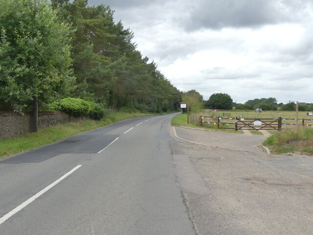
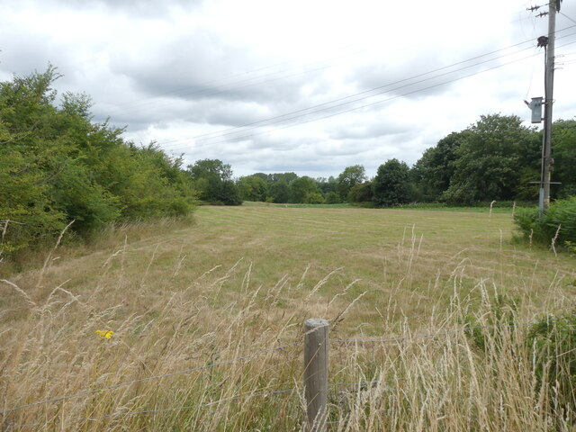
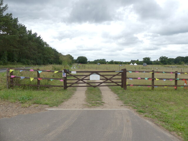
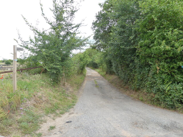
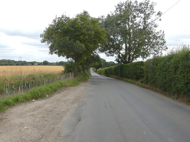
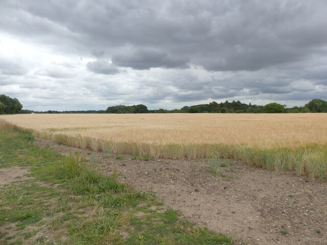
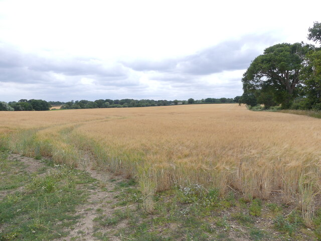
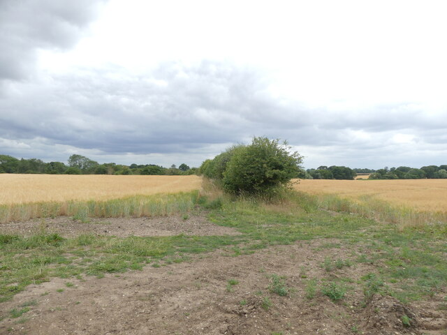
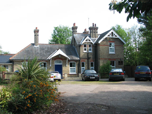
Horstead is known for its picturesque countryside setting, with rolling meadows, lush green fields, and the tranquil river running through it. The area has a rich history, dating back to the Domesday Book in 1086. The village features several historic buildings, including the St. Peter and St. Paul Church, which dates back to the 11th century. The church is renowned for its unique round tower, a distinctive feature of Norfolk churches.

The village offers a range of amenities for its residents and visitors. There is a local pub, The Recruiting Sergeant, which is well-regarded for its traditional British cuisine and ales. Horstead also has a village hall, primary school, and a small number of shops for everyday needs.

The surrounding countryside provides ample opportunities for outdoor activities. The River Bure is popular for boating and fishing, while the nearby Bure Valley Railway offers a scenic and nostalgic steam train journey through the Norfolk Broads.

Horstead is well-connected to nearby towns and cities via road and public transport. The village has a regular bus service to Norwich, making it easily accessible for those seeking a rural retreat while still having the convenience of urban amenities within reach.

If you have any feedback on the listing, please let us know in the comments section below.

Horstead Images

Images are sourced within 2km of 52.72655/1.351791 or Grid Reference TG2619. Thanks to Geograph Open Source API. All images are credited.

River Bure, Coltishall
West on B1354
West on B1354
B1354 to Coltishall
B1354 to Coltishall
Cut meadow
Cut meadow
Entrance to Two Jays farm
Public Bridleway and sign
Old Church Road
Old Church Road
Barley crop
Barley crop
Field of Barley
Field of Barley
Hedge dividing two fields of barley
Entrance gates to All Saints' Church
All Saints' Church as seen from entrance gates
Horstead church notice board
Entrance/exit gate from churchyard now locked
Entrance porch to All Saint' Church
Bricked up window in tower, with glass missing
Tower of All Saints' Church Horstead
Easterly view of church with barrier I assume the barrier is there in case anything falls
Easterly view of church with barrier
I assume the barrier is there in case anything falls
Show me another place!

Horstead is located at Grid Ref: TG2619 (Lat: 52.72655, Lng: 1.351791)

Administrative County: Norfolk

District: Broadland

Police Authority: Norfolk

What 3 Words

///only.newspaper.capers. Near Coltishall, Norfolk

Nearby Locations

Coltishall Horstead

Related Wikis

Horstead with Stanninghall

Horstead with Stanninghall is a civil parish in the English county of Norfolk which is also known as 'The Gateway of The Broads' consisting of the former...

Coltishall

Coltishall is a village on the River Bure, west of Wroxham, in the English county of Norfolk. The village is located within the Norfolk Broads. == Etymology... ==

St Theobald's Church, Great Hautbois

St Theobald's Church is a former church at Great Hautbois, near Coltishall in Norfolk, England. During the medieval period it was a place of pilgrimage...

Coltishall railway station

Coltishall railway station serves the village of Coltishall in Norfolk, and is currently operated by the Bure Valley Railway. == Standard gauge operation... ==

Horstead Hall

Horstead Hall was a country house in Norfolk that was demolished in the 1950s. The village of Horstead in the county of Norfolk is not short of country...

Frettenham Windmill

Frettenham Mill is a Grade II listed tower mill at Frettenham, Norfolk, England which has been converted to residential accommodation. == History == Frettenham...

Belaugh

Belaugh is a small village (population 105) increasing to 134 at the 2011 Census, that occupies a bend in the River Bure in Norfolk, England - within The...

Frettenham

Frettenham is a village and civil parish in the English county of Norfolk. It is located 3.2 miles (5.1 km) west of Wroxham, and 5.7 miles (9.2 km) north...

Nearby Amenities

Located within 500m of 52.72655,1.351791
Mini Roundabout
Direction: clockwise
Lat/Long: 52.7266326/1.3517296
Horstead
Place: village
Wikidata: Q1829358
Wikipedia: en:Horstead with Stanninghall
Lat/Long: 52.7265691/1.3510019
garage, opp
Naptan AtcoCode: 2900C2410
Naptan Bearing: NW
Naptan BusStopType: CUS
Naptan CommonName: garage
Naptan Indicator: opp
Naptan Landmark: island
Naptan Locality: Coltishall
Naptan NaptanCode: nfoajpda
Naptan ShortCommonName: garage
Naptan Street: Church Street
Naptan Verified: no
Source: naptan_import
Lat/Long: 52.7279234/1.3578155
garage, adj
Naptan AtcoCode: 2900C2412
Naptan Bearing: S
Naptan BusStopType: CUS
Naptan CommonName: garage
Naptan Indicator: adj
Naptan Landmark: island
Naptan Locality: Coltishall
Naptan NaptanCode: nfoajpdg
Naptan ShortCommonName: garage
Naptan Street: Church Street
Naptan Verified: no
Source: naptan_import
Lat/Long: 52.7280479/1.3578259
memorial, opp
Naptan AtcoCode: 2900C2419
Naptan Bearing: NW
Naptan BusStopType: CUS
Naptan CommonName: memorial
Naptan Indicator: opp
Naptan Landmark: memorial
Naptan Locality: Coltishall
Naptan NaptanCode: nfoajpgd
Naptan ShortCommonName: memorial
Naptan Street: High Street
Naptan Verified: no
Source: naptan_import
Lat/Long: 52.7291304/1.3574342
memorial, adj
Naptan AtcoCode: 2900C245
Naptan Bearing: S
Naptan BusStopType: CUS
Naptan CommonName: memorial
Naptan Indicator: adj
Naptan Landmark: memorial
Naptan Locality: Coltishall
Naptan NaptanCode: nfoajpgt
Naptan ShortCommonName: memorial
Naptan Street: High Street
Naptan Verified: no
Source: naptan_import
Lat/Long: 52.729151/1.357658
Bus Stop
Recruiting Sergeant
Bench: no
Bin: no
Check Date Shelter: 2021-11-08
Naptan AtcoCode: 2900H481
Naptan Bearing: NE
Naptan BusStopType: CUS
Naptan CommonName: Recruiting Sergeant
Naptan Indicator: adj
Naptan Locality: Horstead
Naptan NaptanCode: nfoawtgw
Naptan Street: Norwich Road
Shelter: yes
Source: naptan_import
Tactile Paving: yes
Lat/Long: 52.7270094/1.3522814
Bus Stop
Recruiting Sergeant, opp
Bench: no
Bin: no
Check Date Shelter: 2021-11-08
Naptan AtcoCode: 2900H482
Naptan Bearing: SW
Naptan CommonName: Recruiting Sergeant
Naptan Indicator: opp
Naptan Locality: Horstead
Naptan NaptanCode: nfoawtja
Naptan Street: Norwich Road
Naptan Verified: no
Shelter: yes
Source: naptan_import
Tactile Paving: yes
Lat/Long: 52.7268223/1.3522347
Green Lane, adj
Naptan AtcoCode: 2900H483
Naptan Bearing: S
Naptan BusStopType: CUS
Naptan CommonName: Green Lane
Naptan Indicator: adj
Naptan Landmark: Green Lane
Naptan Locality: Horstead
Naptan NaptanCode: nfoawtjd
Naptan Street: Norwich Road
Naptan Verified: no
Source: naptan_import
Lat/Long: 52.7230011/1.3502823
Green Lane, opp
Naptan AtcoCode: 2900H484
Naptan Bearing: N
Naptan BusStopType: CUS
Naptan CommonName: Green Lane
Naptan Indicator: opp
Naptan Landmark: Green Lane
Naptan Locality: Horstead
Naptan NaptanCode: nfoawtjg
Naptan Street: Norwich Road
Naptan Verified: no
Source: naptan_import
Lat/Long: 52.7231562/1.3502053
Turning Circle
Lat/Long: 52.7251186/1.3517476
Give Way
Lat/Long: 52.727997/1.3511211
Fuel
Coltishall Island
Brand: Esso
Lat/Long: 52.7281768/1.3577508
Bridge House Bed & Breakfast
Tourism: guest_house
Url: http://www.bridgehouse-coltishall.co.uk/
Lat/Long: 52.7284057/1.3568661
Removed Amenity: telephone
Lat/Long: 52.7270451/1.3521205
Post Box
Collection Times: Mo-Fr 16:30; Sa 09:00
Post Box Design: type_g
Post Box Type: pillar
Ref: NR12 1224
Royal Cypher: EIIR
Royal Cypher Wikidata: Q33102113
Lat/Long: 52.7287861/1.357829
Addr Postcode: NR12 7EE
Addr Street: Norwich Road
Addr Village: Horstead
Disused Shop: farm
Fhrs Id: 147286
Old Name: Farm to Fork & Fish
Source Addr: FHRS Open Data
Url: http://www.farmtoforkandfish.co.uk/
Lat/Long: 52.7265682/1.3522223
Post Box
Collection Times: Mo-Fr 09:00, Sa 07:00
Post Box Type: lamp
Ref: NR12 1292D
Royal Cypher: EIIR
Royal Cypher Wikidata: Q33102113
Lat/Long: 52.7288845/1.3509106
Historic: memorial
Memorial: war_memorial
Lat/Long: 52.7262953/1.3516187
Post Box
Collection Times: Mo-Fr 09:00, Sa 07:00
Operator: Royal Mail
Post Box Mounting: wall
Post Box Type: wall
Ref: NR12 1232
Royal Cypher: VR
Royal Cypher Wikidata: Q33102356
Lat/Long: 52.7261804/1.3517238
Bench
Backrest: yes
Check Date: 2021-11-08
Colour: brown
Material: plastic
Seats: 3
Lat/Long: 52.726401/1.3517537
Waste Basket
Check Date: 2021-11-08
Lat/Long: 52.7264126/1.3517469
Barrier: kissing_gate
Foot: yes
Lat/Long: 52.7274146/1.3578466
Bench
Backrest: yes
Material: wood
Seats: 4
Lat/Long: 52.727607/1.3577821
Give Way
Direction: backward
Lat/Long: 52.7256441/1.3508191
Barrier: cycle_barrier
Lat/Long: 52.7231277/1.3547298
Crossing
Crossing: island
Tactile Paving: yes
Lat/Long: 52.7281728/1.3571161
Bench
Backrest: yes
Material: wood
Seats: 3
Lat/Long: 52.7279855/1.3574325
Entrance: main
Lat/Long: 52.7294379/1.3498195
Horstead
Colour: grey
Inscription: WI / 1923 / 1948
Man Made: village_sign
Material: metal
Start Date: 1948
Lat/Long: 52.7262722/1.3516396
Give Way
Lat/Long: 52.7263963/1.3516388
Bench
Backrest: yes
Colour: brown
Material: plastic
Seats: 3
Lat/Long: 52.7245613/1.3569121
Bench
Backrest: yes
Colour: brown
Material: plastic
Seats: 3
Lat/Long: 52.7243286/1.3558868
Horstead Mill
Historic: ruins
Website: https://www.norfolkmills.co.uk/Watermills/horstead.html
Lat/Long: 52.7244045/1.3558379
Fixme: incomplete
Lat/Long: 52.7302392/1.3478233
Disused Shop: yes
Lat/Long: 52.7264595/1.3521147
Forget Me Not
Shop: clothes
Lat/Long: 52.7285929/1.3575258
Nail & Beauty Solutions
Shop: beauty
Lat/Long: 52.7285523/1.3575499
For Great Hair
Shop: hairdresser
Lat/Long: 52.7284744/1.3575741
Hewitt & Grant
Addr Housenumber: 21
Addr Postcode: NR12 7AA
Addr Street: High Street
Addr Village: Coltishall
Fhrs Id: 1607376
Shop: butcher
Source Addr: FHRS Open Data
Lat/Long: 52.7287521/1.3574721
Historic: memorial
Lat/Long: 52.7291126/1.3576679
Access: yes
Leisure: playground
Lat/Long: 52.7260576/1.3527205
Give Way
Direction: backward
Lat/Long: 52.7281612/1.3572976
M Kraft
Addr Housenumber: 8
Addr Street: High Street
Opening Hours: Mo-Fr 09:00-17:00
Shop: car_repair
Lat/Long: 52.7281466/1.3584331
Central Garage
Shop: car_repair
Lat/Long: 52.7280484/1.3585499
Entrance: yes
Lat/Long: 52.7281342/1.3584441
Waste Disposal
Lat/Long: 52.7280521/1.3583364
Entrance: yes
Lat/Long: 52.7281025/1.3582051
Parcel Locker
Brand: Amazon Hub
Brand Wikidata: Q16974764
Brand Wikipedia: en:Amazon Locker
Mapillary: 3048531682048244
Operator: Amazon
Parcel Mail In: yes
Parcel Pickup: yes
Survey Date: 2021-08-14
Lat/Long: 52.7280799/1.3582088
Waste Basket
Lat/Long: 52.7280416/1.3576311
Parking
Access: customers
Parking: surface
Lat/Long: 52.7283041/1.3567216
Parking
Access: customers
Fee: no
Parking: surface
Lat/Long: 52.7276507/1.3580466
Entrance: yes
Wheelchair: no
Lat/Long: 52.7279356/1.358216
Bench
Backrest: yes
Material: metal
Seats: 6
Source: streetlevel imagery
Lat/Long: 52.7285939/1.3508623
Pendefords
Addr City: Horstead
Addr Housename: Flowers at The Forge
Addr Postcode: NR12 7EE
Addr Street: Norwich Road
Office: estate_agent
Old Name: Flowers at the Forge
Website: https://www.pendefords.co.uk/
Lat/Long: 52.7265204/1.3521448
Recruiting Cars
Second Hand: only
Shop: car
Lat/Long: 52.7265244/1.352492
Place Of Worship
Broadgrace Church
Addr City: Coltishall
Addr Housename: The River Rooms
Addr Postcode: NR12 7DL
Addr Street: Church Street
Denomination: reformed
Religion: christian
Service Times: Sunday 4pm
Website: https://www.broadgrace.org.uk/
Lat/Long: 52.7275097/1.3580425
Playground: basketswing
Source: survey;aerial imagery
Wheelchair: yes
Lat/Long: 52.7260694/1.352429
Baby: yes
Playground: swing
Source: survey;aerial imagery
Lat/Long: 52.7260951/1.3524263
Playground: springy
Playground Theme: horse
Source: survey;aerial imagery
Lat/Long: 52.7259982/1.3526096
Bench: yes
Playground: roundabout
Source: survey;aerial imagery
Lat/Long: 52.7260889/1.3525408
Playground: slide
Source: survey;aerial imagery
Lat/Long: 52.72608/1.3526408
Bench: yes
Leisure: picnic_table
Lit: no
Material: wood
Source: survey;aerial imagery
Lat/Long: 52.7261065/1.3527328
Playground: basketrotator
Source: survey;aerial imagery
Lat/Long: 52.7261479/1.3528073
Bench
Backrest: no
Colour: green
Material: metal
Seats: 2
Source: survey;aerial imagery
Lat/Long: 52.7261429/1.3525231
Bench
Backrest: yes
Colour: black
Material: metal
Seats: 2
Source: survey
Lat/Long: 52.7261862/1.352697
Bench
Backrest: no
Material: wood
Source: survey
Lat/Long: 52.7256767/1.3537406
Bench: yes
Leisure: picnic_table
Lit: no
Material: wood
Source: survey
Lat/Long: 52.7255009/1.3535199
Bench
Backrest: yes
Material: metal
Seats: 2
Source: survey
Lat/Long: 52.7255409/1.3532573
Bench
Backrest: no
Material: metal
Seats: 2
Source: survey
Lat/Long: 52.725559/1.3532741
Baby: no
Capacity: 2
Playground: swing
Source: survey;aerial imagery
Lat/Long: 52.7256199/1.353165
Playground: structure
Source: survey
Lat/Long: 52.7260233/1.3525095
Waste Basket
Source: survey
Waste: trash
Lat/Long: 52.7259202/1.3527108
The data included in this document is from www.openstreetmap.org. The data is made available under ODbL.

Have you been to Horstead?

Leave your review of Horstead below (or comments, questions and feedback).