Coltishall
Settlement in Norfolk Broadland
England
Coltishall

Coltishall is a small village located in the county of Norfolk, England. Situated on the banks of the River Bure, it lies approximately 10 miles north-east of the city of Norwich. The village is part of the Broadland district and falls within the Norfolk Broads, a network of lakes and rivers renowned for its natural beauty.
With a population of around 2,000 residents, Coltishall has a close-knit and welcoming community. The village is known for its charming architecture, consisting of a mix of traditional thatched cottages and more modern houses. The picturesque streets are lined with trees, giving the village a pleasant and green ambiance.
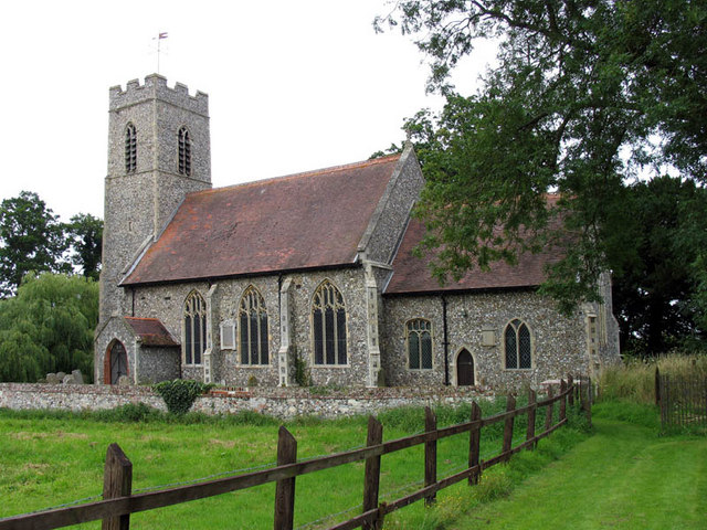
Coltishall has a rich history, with its roots dating back to Roman times. The village was once an important trading center, thanks to its strategic position on the river. Today, remnants of its past can still be seen, including the ruins of St. John the Baptist Church, which was originally built in the 14th century.
The village offers a range of amenities for its residents and visitors. These include a primary school, a village hall, several pubs, and a selection of local shops. Coltishall is also a popular destination for tourists, who come to explore the beautiful Norfolk Broads and enjoy activities such as boating, fishing, and walking along the scenic riverbanks.
Overall, Coltishall is a delightful village that combines history, natural beauty, and a strong sense of community. It is a tranquil and idyllic place to live or visit, offering a peaceful escape from the hustle and bustle of city life.
If you have any feedback on the listing, please let us know in the comments section below.
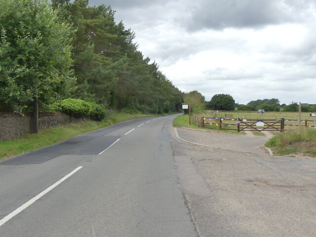
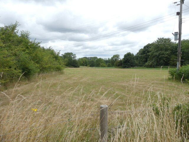
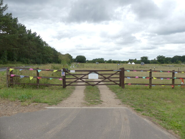
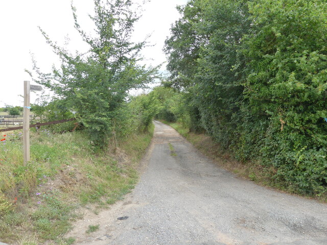
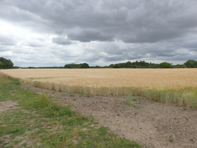
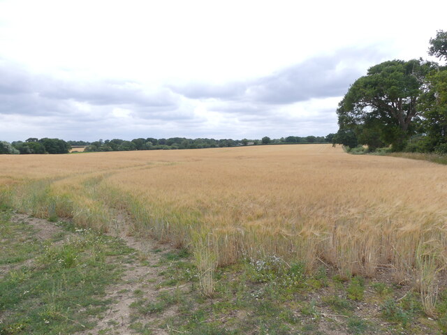
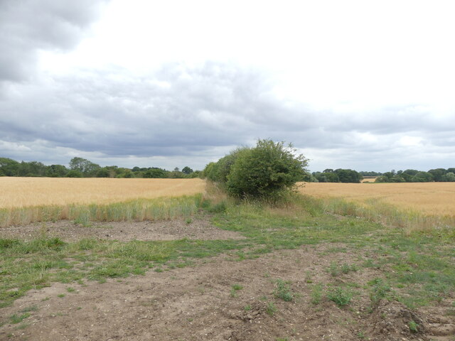
Coltishall Images
Images are sourced within 2km of 52.728404/1.357785 or Grid Reference TG2619. Thanks to Geograph Open Source API. All images are credited.


Coltishall is located at Grid Ref: TG2619 (Lat: 52.728404, Lng: 1.357785)
Administrative County: Norfolk
District: Broadland
Police Authority: Norfolk
What 3 Words
///presented.slips.slowness. Near Coltishall, Norfolk
Nearby Locations
Related Wikis

Coltishall
Coltishall is a village on the River Bure, west of Wroxham, in the English county of Norfolk. The village is located within the Norfolk Broads. == Etymology... ==
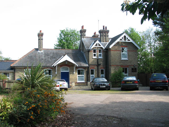
Coltishall railway station
Coltishall railway station serves the village of Coltishall in Norfolk, and is currently operated by the Bure Valley Railway. == Standard gauge operation... ==

Horstead with Stanninghall
Horstead with Stanninghall is a civil parish in the English county of Norfolk which is also known as 'The Gateway of The Broads' consisting of the former...

St Theobald's Church, Great Hautbois
St Theobald's Church is a former church at Great Hautbois, near Coltishall in Norfolk, England. During the medieval period it was a place of pilgrimage...

Horstead Hall
Horstead Hall was a country house in Norfolk that was demolished in the 1950s. The village of Horstead in the county of Norfolk is not short of country...

Belaugh
Belaugh is a small village (population 105) increasing to 134 at the 2011 Census, that occupies a bend in the River Bure in Norfolk, England - within The...
Little Hautbois
Little Hautbois is a small hamlet in Broadland, England, part of the parish of Lamas. The name is pronounced 'Hobbis', and can be seen thus spelled on...
Lamas, Norfolk
Lamas (also spelled Lammas) is a village in Broadland, Norfolk, England. Administratively it falls within the civil parish of Buxton with Lamas. The village...
Nearby Amenities
Located within 500m of 52.728404,1.357785Have you been to Coltishall?
Leave your review of Coltishall below (or comments, questions and feedback).