Annanhead Hill
Hill, Mountain in Dumfriesshire
Scotland
Annanhead Hill

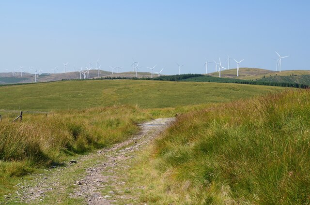
Annanhead Hill is a prominent hill located in Dumfriesshire, Scotland. It stands at an impressive height of 535 meters (1,755 feet) above sea level, making it one of the highest points in the region. The hill is part of the Lowther Hills range, which extends across the southern uplands of Scotland.
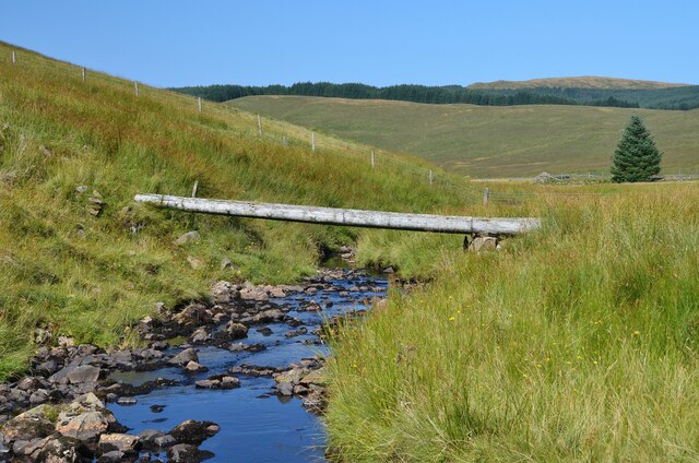
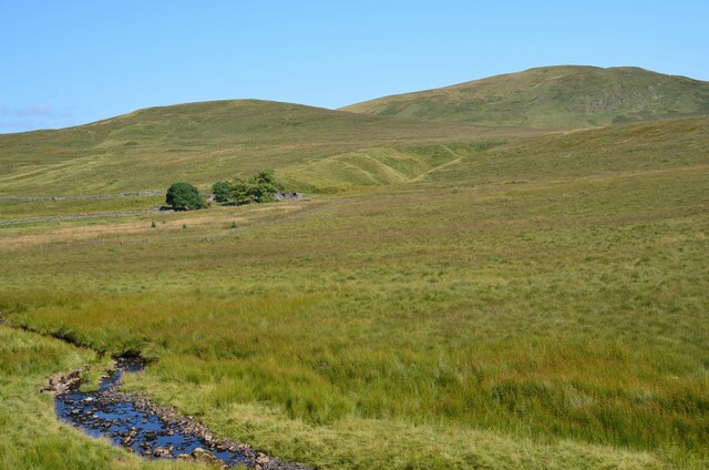
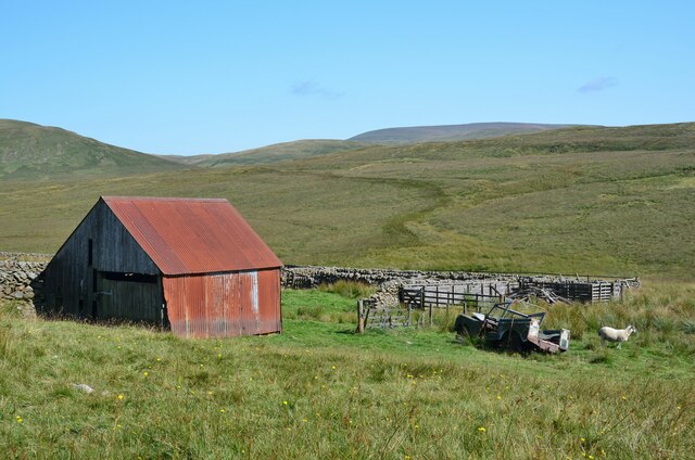
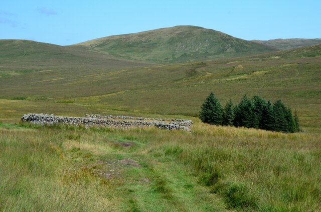
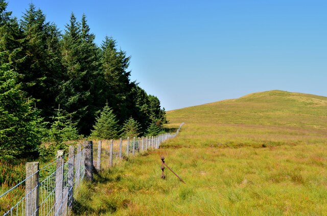
The landscape surrounding Annanhead Hill is characterized by rolling hills, heather moorland, and scattered patches of woodland. The hill itself is mostly covered in blanket bog, a unique habitat that supports a variety of plant and animal species. It is also home to several rare and protected bird species, including merlin and short-eared owl.
The summit of Annanhead Hill offers breathtaking panoramic views of the surrounding countryside, including the nearby towns of Moffat and Dumfries. On clear days, it is even possible to see the famous Solway Firth and the distant Lake District in England.
The hill is a popular destination for outdoor enthusiasts, attracting hikers, mountain bikers, and nature lovers. There are various walking trails and paths that lead to the summit, providing an opportunity to explore the diverse flora and fauna of the area. Additionally, the hill is renowned for its excellent paragliding conditions, drawing thrill-seekers from far and wide.
Overall, Annanhead Hill is a natural gem in Dumfriesshire, offering stunning views, diverse wildlife, and a range of recreational opportunities for visitors to enjoy.
If you have any feedback on the listing, please let us know in the comments section below.
Annanhead Hill Images
Images are sourced within 2km of 55.40412/-3.4886173 or Grid Reference NT0513. Thanks to Geograph Open Source API. All images are credited.


Annanhead Hill is located at Grid Ref: NT0513 (Lat: 55.40412, Lng: -3.4886173)
Unitary Authority: Dumfries and Galloway
Police Authority: Dumfries and Galloway
What 3 Words
///chats.schooling.drones. Near Moffat, Dumfries & Galloway
Nearby Locations
Related Wikis

Annanhead Hill
Annanhead Hill is a 478-metre (1,568 ft) summit in the Moffat Hills of Scotland. It lies on the boundary between the Scottish Borders and Dumfries and...

Devil's Beef Tub
The Devil's Beef Tub (Marquis of Annandale's Beef-Tub, Beef-Stand, MacCleran's Loup) is a deep, dramatic hollow in the hills north of the Scottish town...

Crown of Scotland (hill)
The Crown of Scotland is a hill in the Scottish Borders, Scotland. At a relatively small elevation from the surrounding peaks, it is situated to the north...

Greenhillstairs
Greenhillstairs is the steep B719 road north of Moffat in Dumfries and Galloway, Scotland. The road, about 3 miles long, leaves the A701 Moffat to Edinburgh...

Hart Fell
Hart Fell is a hill in the Moffat Hills range, part of the Southern Uplands of Scotland. It lies north of the town of Moffat on the border with the Scottish...
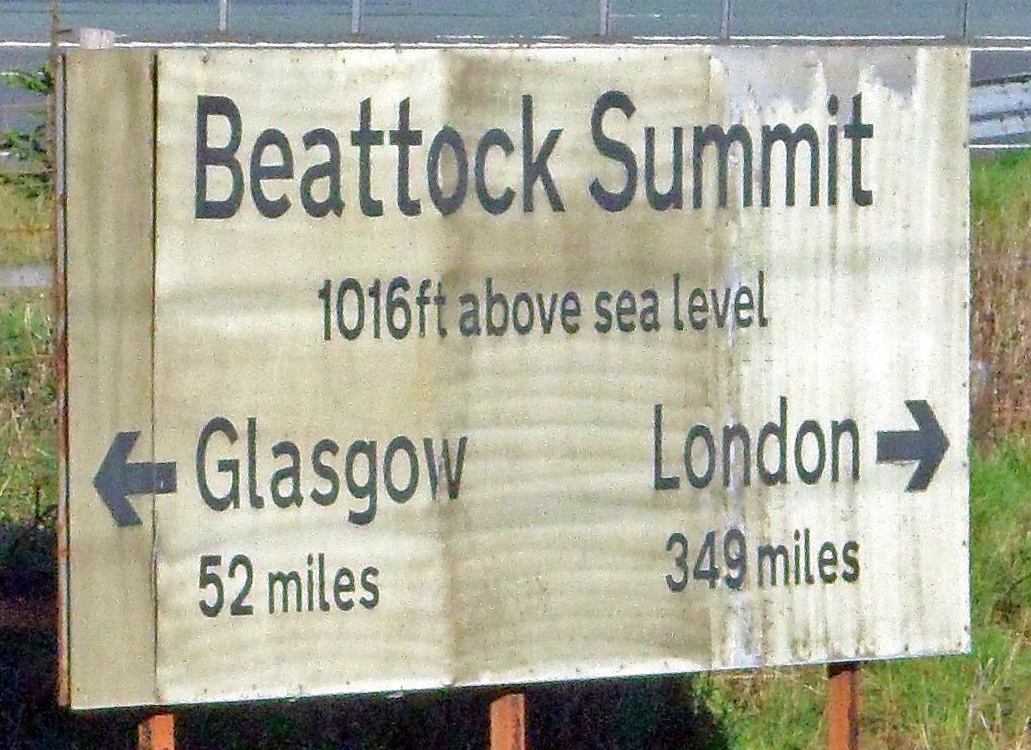
Beattock Summit
Beattock Summit is the highest point of the West Coast Main Line (WCML) railway and of the A74(M) motorway as they cross between Dumfries and Galloway...

Moffat Hills
The Moffat Hills are a range of hills in the Southern Uplands of Scotland. They form a roughly triangular shape with a west facing side, a north facing...

Fruid Reservoir
Fruid is a small reservoir in the Scottish Borders area of Scotland, UK, near Menzion. It is formed by damming the Fruid Water, and supplements the contents...
Nearby Amenities
Located within 500m of 55.40412,-3.4886173Have you been to Annanhead Hill?
Leave your review of Annanhead Hill below (or comments, questions and feedback).