Orans Hill

Hill, Mountain in Morayshire

Scotland

Orans Hill

Section of Logie School
Section of Logie School Credit: thejackrustles

Orans Hill, located in Morayshire, Scotland, is a prominent hill/mountain in the region. Rising to an elevation of approximately 530 meters (1,740 feet), it offers breathtaking panoramic views and serves as a popular destination for outdoor enthusiasts, hikers, and nature lovers.

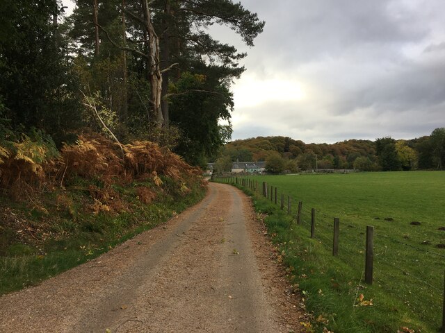
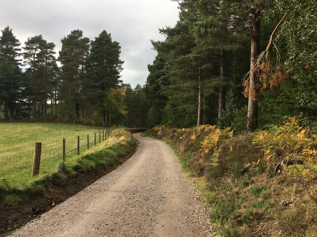
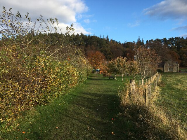
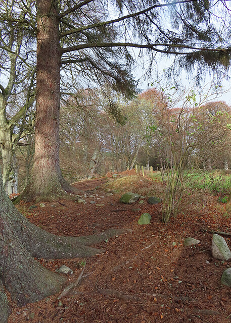
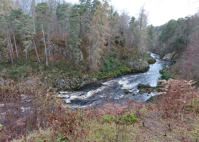
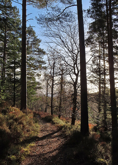
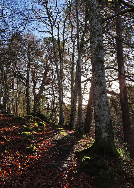
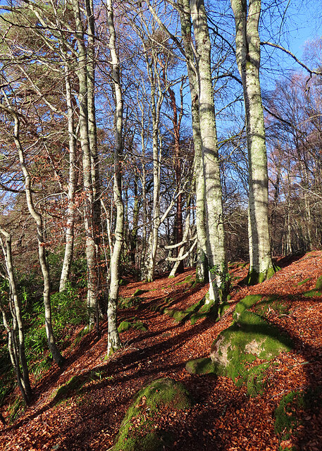
The hill is situated within the picturesque Cairngorms National Park, renowned for its stunning natural beauty and diverse wildlife. Orans Hill itself is characterized by its rugged terrain, with steep slopes covered in heather, grasses, and scattered rock formations. The summit is marked by a cairn, providing a focal point for visitors to appreciate the surrounding landscape.

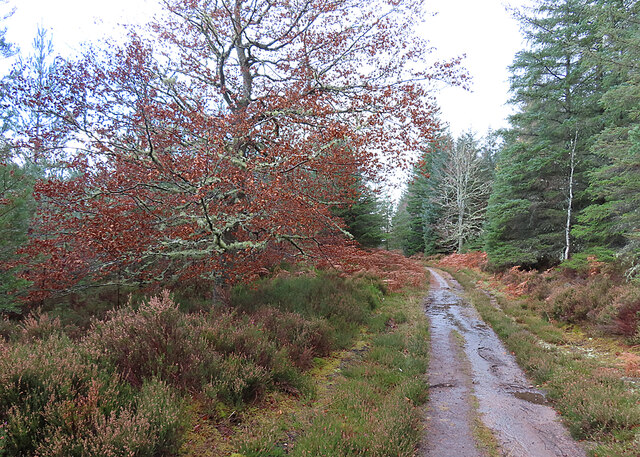
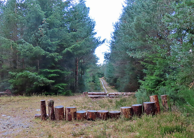
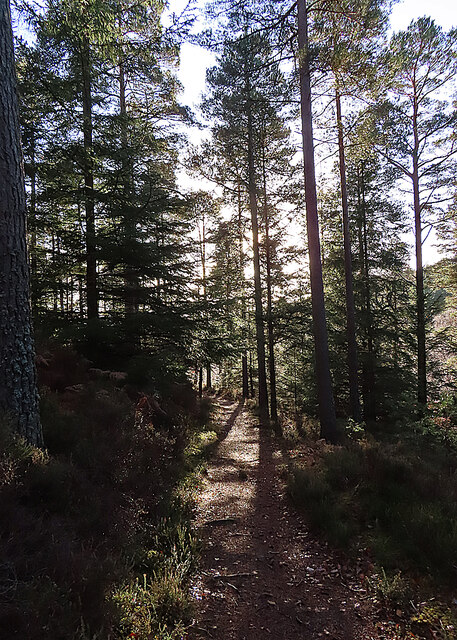
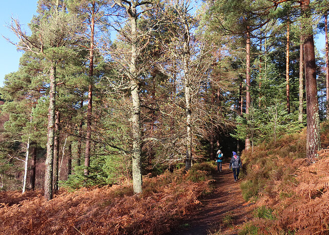
Orans Hill offers a variety of walking and hiking trails, catering to different experience levels. The ascent to the top can be challenging, particularly for beginners, but the rewarding views at the summit make it worthwhile. On a clear day, one can see the vast expanse of the Cairngorms, with its rolling hills, deep valleys, and occasional lochs dotting the landscape.

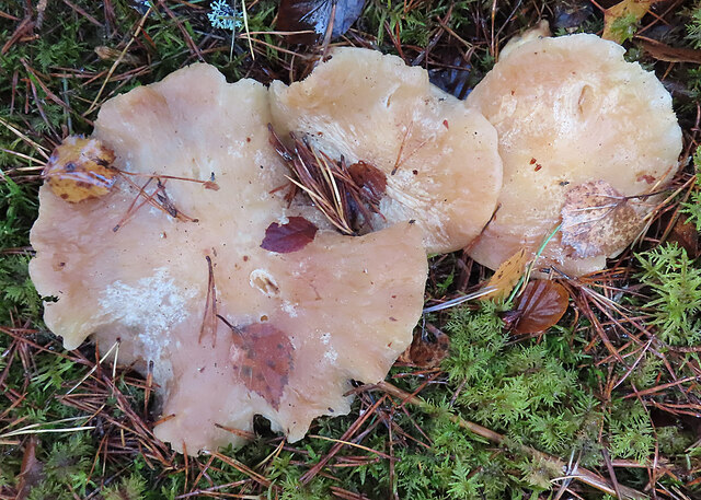
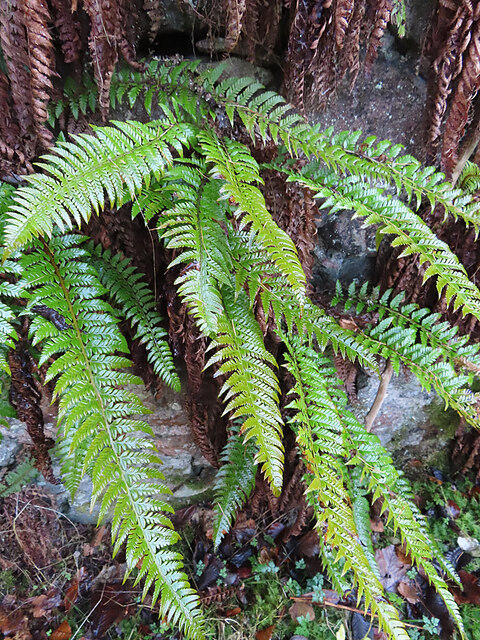
The hill is home to a variety of wildlife, including red deer, mountain hares, and various bird species. Nature enthusiasts can often spot these creatures as they traverse the trails, adding to the charm and allure of the area.

Overall, Orans Hill in Morayshire is a captivating destination for those seeking adventure and natural beauty. With its stunning vistas, challenging hikes, and abundant wildlife, it offers an unforgettable experience for visitors and locals alike.

If you have any feedback on the listing, please let us know in the comments section below.
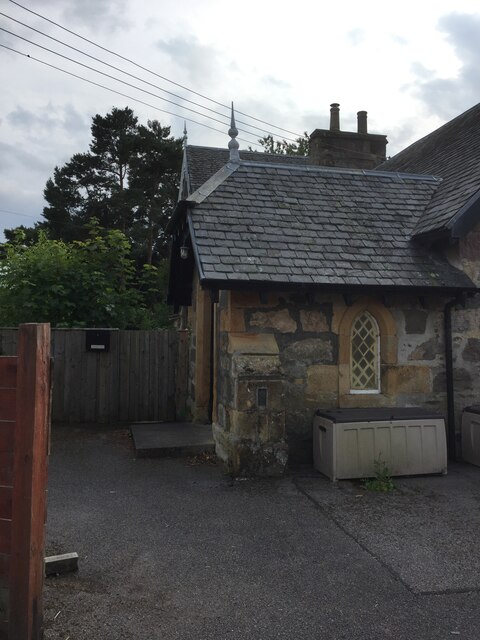
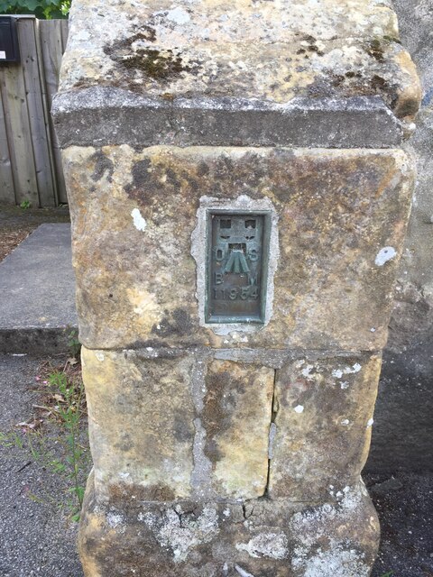
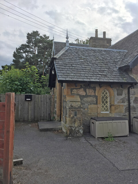
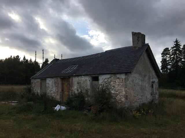
Orans Hill Images

Images are sourced within 2km of 57.548402/-3.6540604 or Grid Reference NJ0152. Thanks to Geograph Open Source API. All images are credited.

Section of Logie School
OS Flush Bracket 11954 - Logie, School <span class="nowrap"><a title="https://www.bench-marks.org.uk/bm321" rel="nofollow ugc noopener" href="https://www.bench-marks.org.uk/bm321">Link</a><img style="margin-left:2px;" alt="External link" title="External link - shift click to open in new window" src="https://s1.geograph.org.uk/img/external.png" width="10" height="10"/></span>
OS Flush Bracket 11954 - Logie, School
Logie School
Logie School
Sluie Cottage
Sluie Cottage
Road to Mains of Sluie
Road to Mains of Sluie This gravel road appears to have been recently regraded.
Road to Mains of Sluie
This gravel road appears to have been recently regraded.
Path, Logie
Path, Logie
Path at Logie This is part of a network of waymarked path around Logie Steading.
Path at Logie
This is part of a network of waymarked path around Logie Steading.
River Findhorn This is one of the few spots with a view of the river that is not partly obscured by trees.
River Findhorn
This is one of the few spots with a view of the river that is not partly obscured by trees.
Track past Honey Howe Honey Howe is a small knoll to the left here, obscured by the vegetation.
Track past Honey Howe
Honey Howe is a small knoll to the left here, obscured by the vegetation.
Forest Installation This curious structure is at a crossroads in Logie Wood. My companions speculated that it is a play area for the amusement of children bored with walking.
Forest Installation
This curious structure is at a crossroads in Logie Wood. My companions speculated that it is a play area for the amusement of children bored with walking.
Fungus in the Forest No, sorry, I cannot identify the species.
Fungus in the Forest
No, sorry, I cannot identify the species.
Woodland Path This is the upper, and thus at this time of year sunnier, of the paths on the east side of the Findhorn gorge between Logie and Sluie.
Woodland Path
This is the upper, and thus at this time of year sunnier, of the paths on the east side of the Findhorn gorge between Logie and Sluie.
Path in Sunshine Having been rained on all the way out to the turning point, we are now enjoying a cloudless sky as we make our way back to Logie Steading.
Path in Sunshine
Having been rained on all the way out to the turning point, we are now enjoying a cloudless sky as we make our way back to Logie Steading.
Forest Clearing The path emerges here into a clearing from which there are fine but unphotographable views straight into the sun of the Findhorn gorge. This is looking back to the north.
Forest Clearing
The path emerges here into a clearing from which there are fine but unphotographable views straight into the sun of the Findhorn gorge. This is looking back to the north.
Forest Path This is a delightful informal path, covered at the moment with fallen leaves.
Forest Path
This is a delightful informal path, covered at the moment with fallen leaves.
Autumn Colours The fallen beech leaves have created a colourful contrast on and beside the path with the bright green moss-covered boulders.
Autumn Colours
The fallen beech leaves have created a colourful contrast on and beside the path with the bright green moss-covered boulders.
Hard Shield Fern (Polystichum aculeatum) This is one of the ferns that retains green leaves through the winter.
Hard Shield Fern (Polystichum aculeatum)
This is one of the ferns that retains green leaves through the winter.
Show me another place!

Orans Hill is located at Grid Ref: NJ0152 (Lat: 57.548402, Lng: -3.6540604)

Unitary Authority: Moray

Police Authority: North East

What 3 Words

///meant.giants.coast. Near Forres, Moray

Related Wikis

Doune of Relugas

The Doune of Relugas is a hill fort located 9.25 kilometres (5.75 mi) south south west of Forres in Moray, Scotland. It is situated on a rocky knoll rising...

Randolph's Leap

Randolph's Leap is an SSSI and area of countryside in Moray, Scotland. The area surrounds the River Findhorn and is actually named after the point at the...

Darnaway Castle

Darnaway Castle, also known as Tarnaway Castle, is located in Darnaway Forest, 3 miles (4.8 km) southwest of Forres in Moray, Scotland. This was Comyn...

Dunphail railway station

Dunphail railway station was opened with the Inverness and Perth Junction Railway in 1863. == Station layout == The station layout was double platform...

Related Videos

Logie Steading River Walk, Dunphail Moray Scotland

Logie Steading is a select shopping village and visitor centre which lies at the heart of Logie Estate. Logie Steading is home to a ...

MORAY TREASURES EP9: Sluie Walk & The River Findhorn, Forres

This short but dramatic woodland walk runs high above the swirling waters of the River Findhorn and its gorge, giving views of the ...

Hitting Reset North of The Border | Wild Camping in Scotland Next to the River Findhorn

With My Recent Struggles, Mentally and physically coming to the forefront. A last minute decision to head North of the Border ...

River Gorge Gravel Ride - Best River Run in Scotland? 🚵🏻‍♂️🚵‍♀️ 🏔️😎🌨️❄️

A stunning ride up the steep-sided gorges of the Rivers Findhorn and Divie. Please help support the channel and consider buying ...

Nearby Amenities

Located within 500m of 57.548402,-3.6540604
Parking
Lat/Long: 57.5522114/-3.6508149
Power: pole
Lat/Long: 57.5503924/-3.6468173
Power: pole
Lat/Long: 57.5508283/-3.6477097
Power: pole
Lat/Long: 57.5511156/-3.6482957
Power: pole
Lat/Long: 57.5514886/-3.6486233
Power: pole
Lat/Long: 57.5519788/-3.6490815
Power: pole
Lat/Long: 57.5517773/-3.6499579
Power: pole
Lat/Long: 57.5515357/-3.6509248
Power: pole
Lat/Long: 57.5513557/-3.6524192
Power: pole
Lat/Long: 57.551097/-3.6533275
Power: pole
Lat/Long: 57.550914/-3.654044
Power: pole
Lat/Long: 57.550734/-3.6547259
Power: pole
Lat/Long: 57.5509212/-3.6553493
Power: pole
Lat/Long: 57.5511113/-3.6559672
Power: pole
Lat/Long: 57.5513342/-3.6566891
Power: pole
Lat/Long: 57.5515386/-3.657371
Power: pole
Lat/Long: 57.5519173/-3.658567
Outlawell
Place: isolated_dwelling
Lat/Long: 57.5510319/-3.6475887
The data included in this document is from www.openstreetmap.org. The data is made available under ODbL.

Have you been to Orans Hill?

Leave your review of Orans Hill below (or comments, questions and feedback).