Long Rack

Lake, Pool, Pond, Freshwater Marsh in Morayshire

Scotland

Long Rack

Sluie Cottage
Sluie Cottage Credit: Steven Brown

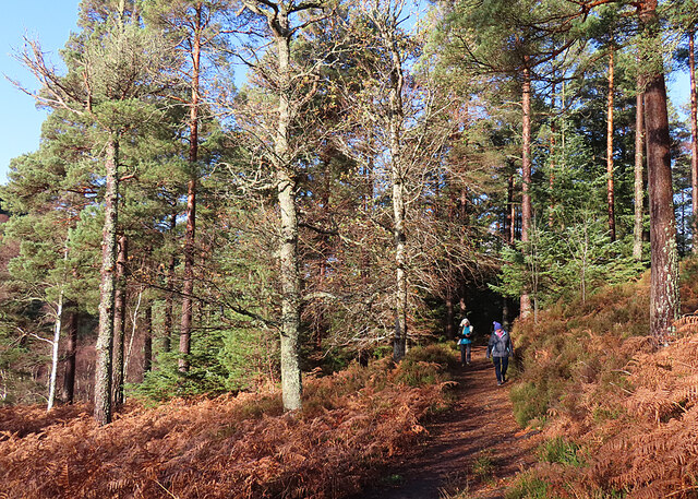
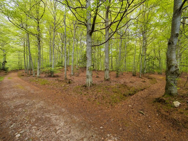
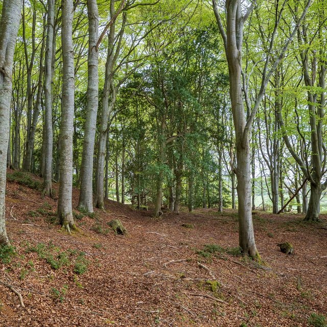
Long Rack, located in Morayshire, Scotland, is a stunning freshwater marsh that offers a diverse ecosystem and breathtaking natural beauty. Spanning over a vast area, Long Rack is home to a lake, pool, pond, and a thriving ecosystem that supports various plant and animal species.

The lake at Long Rack is a prominent feature, characterized by its calm and crystal-clear waters. It serves as a habitat for numerous fish species, including pike, perch, and brown trout, making it a popular spot for anglers and fishing enthusiasts. The lake also attracts a wide range of bird species, such as swans, ducks, and herons, providing a fantastic opportunity for birdwatching.

Adjacent to the lake is a picturesque pool, which is slightly smaller in size but equally mesmerizing. The pool is surrounded by lush vegetation and serves as a crucial breeding ground for amphibians like frogs and newts. It is also a serene spot for relaxation and meditation, with its tranquil ambiance and beautiful views.

Further into the marsh, one can find a charming pond, teeming with aquatic plants and insects. The pond supports a rich biodiversity, offering a habitat for dragonflies, water beetles, and various species of aquatic plants. It is a fascinating place to observe the intricate interactions between different organisms in a small-scale ecosystem.

Overall, Long Rack in Morayshire is a nature lover's paradise, with its diverse range of aquatic environments and abundant wildlife. Whether it is fishing, birdwatching, or simply appreciating the tranquility of the marsh, Long Rack offers an immersive experience that showcases the wonders of the natural world.

If you have any feedback on the listing, please let us know in the comments section below.
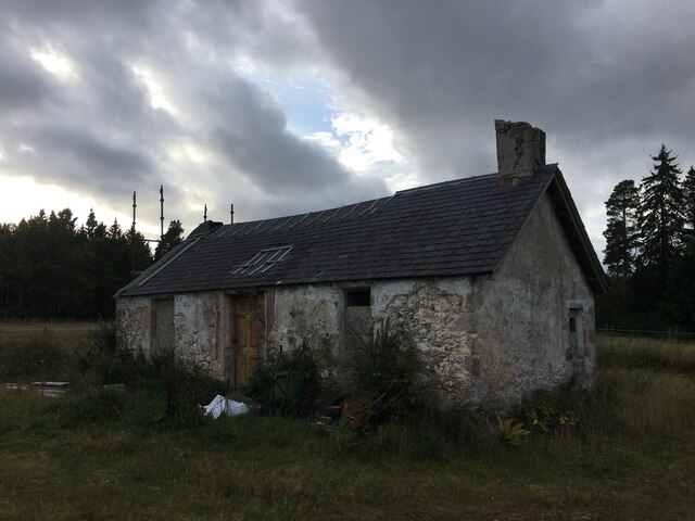
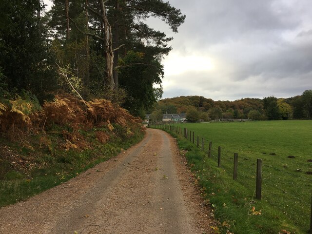
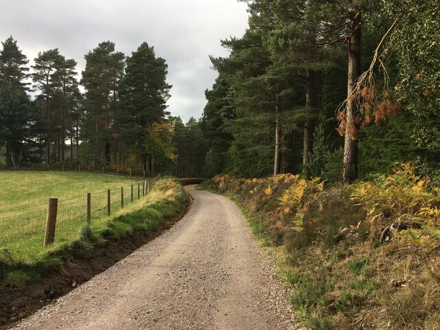
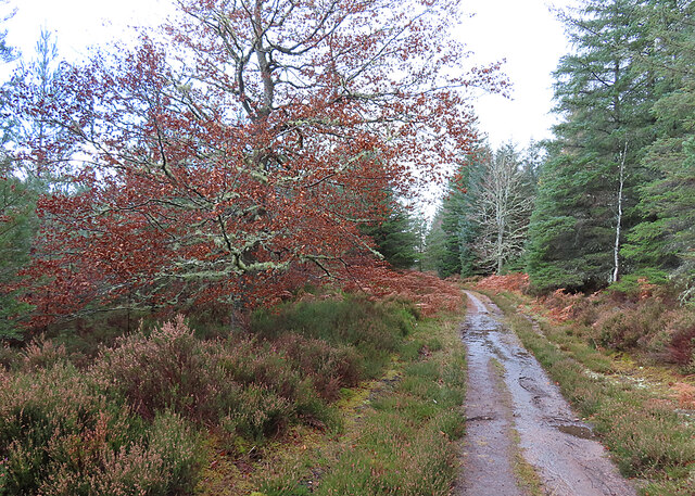
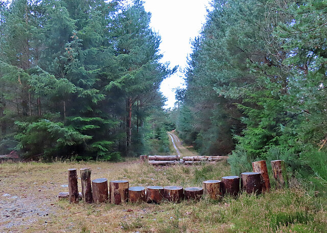
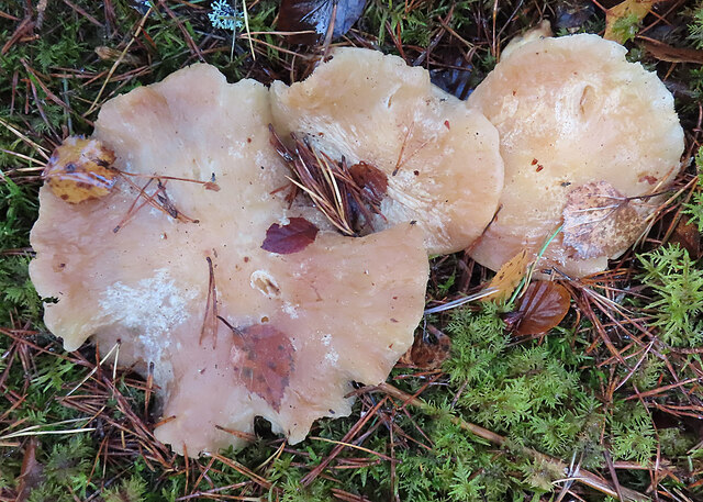
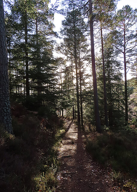
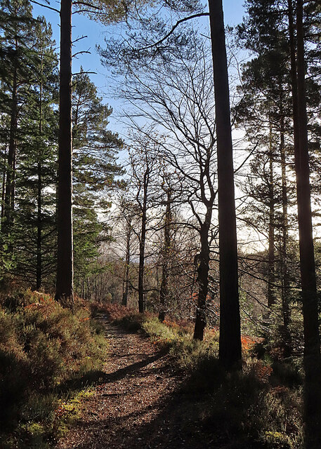
Long Rack Images

Images are sourced within 2km of 57.555235/-3.6536348 or Grid Reference NJ0152. Thanks to Geograph Open Source API. All images are credited.

Sluie Cottage
Sluie Cottage
Road to Mains of Sluie
Road to Mains of Sluie This gravel road appears to have been recently regraded.
Road to Mains of Sluie
This gravel road appears to have been recently regraded.
Track past Honey Howe Honey Howe is a small knoll to the left here, obscured by the vegetation.
Track past Honey Howe
Honey Howe is a small knoll to the left here, obscured by the vegetation.
Forest Installation This curious structure is at a crossroads in Logie Wood. My companions speculated that it is a play area for the amusement of children bored with walking.
Forest Installation
This curious structure is at a crossroads in Logie Wood. My companions speculated that it is a play area for the amusement of children bored with walking.
Fungus in the Forest No, sorry, I cannot identify the species.
Fungus in the Forest
No, sorry, I cannot identify the species.
Woodland Path This is the upper, and thus at this time of year sunnier, of the paths on the east side of the Findhorn gorge between Logie and Sluie.
Woodland Path
This is the upper, and thus at this time of year sunnier, of the paths on the east side of the Findhorn gorge between Logie and Sluie.
Path in Sunshine Having been rained on all the way out to the turning point, we are now enjoying a cloudless sky as we make our way back to Logie Steading.
Path in Sunshine
Having been rained on all the way out to the turning point, we are now enjoying a cloudless sky as we make our way back to Logie Steading.
Forest Clearing The path emerges here into a clearing from which there are fine but unphotographable views straight into the sun of the Findhorn gorge. This is looking back to the north.
Forest Clearing
The path emerges here into a clearing from which there are fine but unphotographable views straight into the sun of the Findhorn gorge. This is looking back to the north.
Mini Waterfall - Dunearn Burn Dunearn Burn in spate, enhancing the size of the waterfall.
Mini Waterfall - Dunearn Burn
Dunearn Burn in spate, enhancing the size of the waterfall.
Footpath above Dunearn Burn This footpath, shown on the OS25k map on the NE side of the Dunearn Burn, is seldom used. It has become impassable in parts, due to the windblown trees and steep drop off down to the burn below.
Footpath above Dunearn Burn
This footpath, shown on the OS25k map on the NE side of the Dunearn Burn, is seldom used. It has become impassable in parts, due to the windblown trees and steep drop off down to the burn below.
Loch Holly Only marked on my OS25k map, more of a lochan than a Loch.
Loch Holly
Only marked on my OS25k map, more of a lochan than a Loch.
Darnaway Forest The path in the right of this image leads off the main track and provides a very pleasant walk through the beech and oak trees that form this part of the forest. The path is marked on the first edition OS 25" map of 1872
Darnaway Forest
The path in the right of this image leads off the main track and provides a very pleasant walk through the beech and oak trees that form this part of the forest. The path is marked on the first edition OS 25" map of 1872
Carving on a beech tree in Darnaway Forest Although most the carving on this beech tree trunk is illegible, the date 7.7.1942 is clear. The tree is on the edge of an old path unmarked path near the private burial ground in Darnaway Forest
Carving on a beech tree in Darnaway Forest
Although most the carving on this beech tree trunk is illegible, the date 7.7.1942 is clear. The tree is on the edge of an old path unmarked path near the private burial ground in Darnaway Forest
Former Conicavel Post Office and School Originally the village school, the building seems then to have been used as the post office. Surprisingly, the building does not seem to have listed status.
<span class="nowrap"><a title="https://canmore.org.uk/site/192775/conicavel-post-office" rel="nofollow ugc noopener" href="https://canmore.org.uk/site/192775/conicavel-post-office">Link</a><img style="margin-left:2px;" alt="External link" title="External link - shift click to open in new window" src="https://s1.geograph.org.uk/img/external.png" width="10" height="10"/></span>
Former Conicavel Post Office and School
Originally the village school, the building seems then to have been used as the post office. Surprisingly, the building does not seem to have listed status. LinkExternal link
Former Hall Conicavel This building is marked on the map as a hall but seems to have seen little use in recent years. Part of the Darnaway Estate, the building is not listed. It features an armorial stone panel engraved with an 'M' above the front door, perhaps referring to the Earl of Moray?
A close view of the panel here <a href="https://www.geograph.org.uk/photo/6143527">NH9953 : Former Hall Conicavel</a>
Former Hall Conicavel
This building is marked on the map as a hall but seems to have seen little use in recent years. Part of the Darnaway Estate, the building is not listed. It features an armorial stone panel engraved with an 'M' above the front door, perhaps referring to the Earl of Moray? A close view of the panel here NH9953 : Former Hall Conicavel
Former Hall Conicavel An armorial plaque above the doorway into the former hall, the 'M' perhaps referring to the Earl of Moray?
Former Hall Conicavel
An armorial plaque above the doorway into the former hall, the 'M' perhaps referring to the Earl of Moray?
Path in Darnaway Forest Although marked on the Os maps, the path is rather vague in this part of the forest and is probably little used in recent times. There are some fine mature holly trees amongst the dominant beech trees.
Path in Darnaway Forest
Although marked on the Os maps, the path is rather vague in this part of the forest and is probably little used in recent times. There are some fine mature holly trees amongst the dominant beech trees.
Show me another place!

Long Rack is located at Grid Ref: NJ0152 (Lat: 57.555235, Lng: -3.6536348)

Unitary Authority: Moray

Police Authority: North East

What 3 Words

///troubled.jacuzzi.hammocks. Near Forres, Moray

Related Wikis

Darnaway Castle

Darnaway Castle, also known as Tarnaway Castle, is located in Darnaway Forest, 3 miles (4.8 km) southwest of Forres in Moray, Scotland. This was Comyn...

Doune of Relugas

The Doune of Relugas is a hill fort located 9.25 kilometres (5.75 mi) south south west of Forres in Moray, Scotland. It is situated on a rocky knoll rising...

Randolph's Leap

Randolph's Leap is an SSSI and area of countryside in Moray, Scotland. The area surrounds the River Findhorn and is actually named after the point at the...

Dallas Dhu distillery

Dallas Dhu distillery was a producer of single malt Scotch whisky that operated between 1899 and 1983 in Forres, Moray, Scotland. Dallas Dhu means "Black...

Nearby Amenities

Located within 500m of 57.555235,-3.6536348
Parking
Lat/Long: 57.5522114/-3.6508149
Power: pole
Lat/Long: 57.5519788/-3.6490815
Power: pole
Lat/Long: 57.5517773/-3.6499579
Power: pole
Lat/Long: 57.5515357/-3.6509248
Power: pole
Lat/Long: 57.5513557/-3.6524192
Power: pole
Lat/Long: 57.551097/-3.6533275
Power: pole
Lat/Long: 57.550914/-3.654044
Power: pole
Lat/Long: 57.5509212/-3.6553493
Power: pole
Lat/Long: 57.5511113/-3.6559672
Power: pole
Lat/Long: 57.5513342/-3.6566891
Power: pole
Lat/Long: 57.5515386/-3.657371
Power: pole
Lat/Long: 57.5519173/-3.658567
Power: pole
Lat/Long: 57.5520988/-3.6591903
Power: pole
Lat/Long: 57.5526991/-3.6599655
The data included in this document is from www.openstreetmap.org. The data is made available under ODbL.

Have you been to Long Rack?

Leave your review of Long Rack below (or comments, questions and feedback).