Halliemuir Pool

Lake, Pool, Pond, Freshwater Marsh in Morayshire

Scotland

Halliemuir Pool

Sluie Cottage
Sluie Cottage Credit: Steven Brown

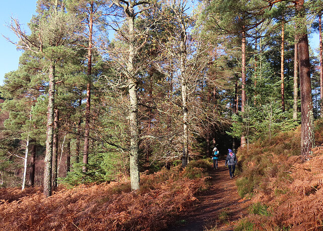
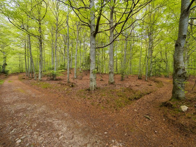
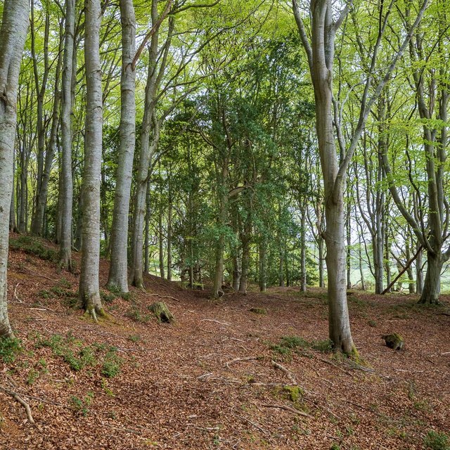
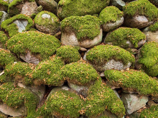
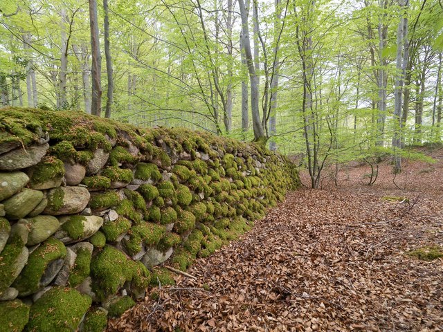
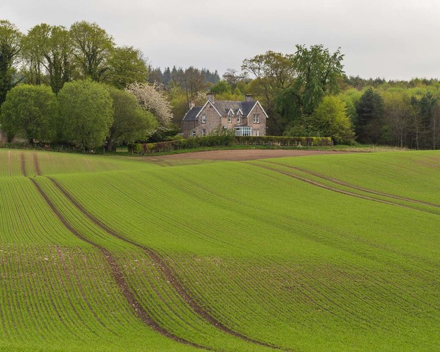
Halliemuir Pool is a picturesque freshwater marsh located in Morayshire, Scotland. Situated amidst rolling green hills, this tranquil pool is a haven for wildlife and a popular spot for nature enthusiasts. Covering an area of approximately 10 acres, the pool is surrounded by lush vegetation, making it an idyllic sight for visitors.

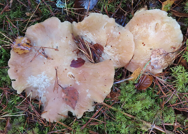
The pool is teeming with diverse flora and fauna, making it a wildlife enthusiast's paradise. It is home to a variety of aquatic plants such as water lilies, reeds, and rushes, which provide a perfect habitat for numerous species of birds, insects, and amphibians. Visitors can often spot ducks, swans, herons, and even the elusive kingfisher, making it a haven for birdwatchers.

The calm and peaceful atmosphere of the pool also attracts fishing enthusiasts. The pool is known for its abundant population of brown trout, which provides an excellent opportunity for anglers to test their skills and enjoy a day of fishing in a serene environment.

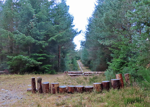
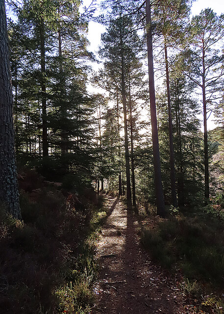
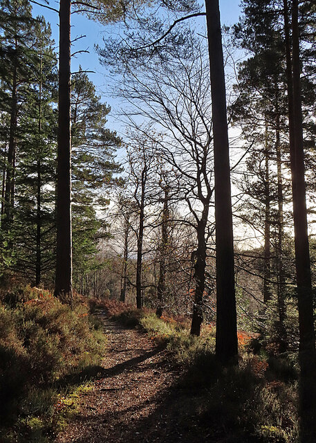
A path encircles the pool, allowing visitors to take a leisurely stroll and admire the natural beauty that surrounds them. The path is well-maintained and offers scenic views of the pool from various angles. There are also benches strategically placed along the path, providing the perfect spot for visitors to sit and soak in the serene ambiance.

Overall, Halliemuir Pool in Morayshire is a hidden gem for nature lovers. Its diverse wildlife, beautiful vegetation, and peaceful surroundings make it a must-visit destination for anyone seeking a tranquil retreat in the heart of Scotland's countryside.

If you have any feedback on the listing, please let us know in the comments section below.

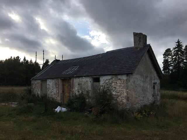
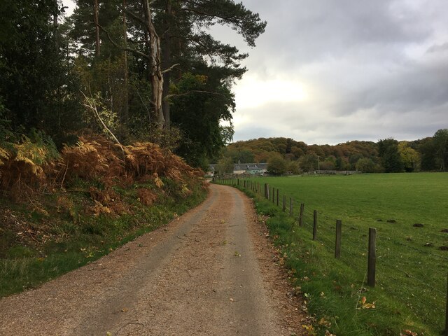
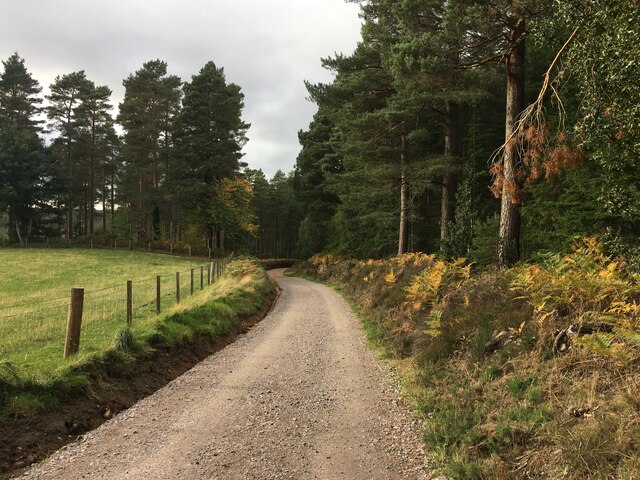
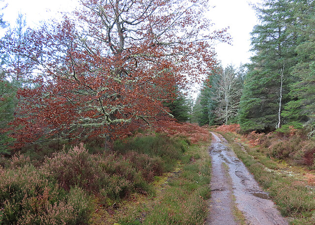
Halliemuir Pool Images

Images are sourced within 2km of 57.556078/-3.6516507 or Grid Reference NJ0152. Thanks to Geograph Open Source API. All images are credited.

Sluie Cottage
Sluie Cottage
Road to Mains of Sluie
Road to Mains of Sluie This gravel road appears to have been recently regraded.
Road to Mains of Sluie
This gravel road appears to have been recently regraded.
Track past Honey Howe Honey Howe is a small knoll to the left here, obscured by the vegetation.
Track past Honey Howe
Honey Howe is a small knoll to the left here, obscured by the vegetation.
Forest Installation This curious structure is at a crossroads in Logie Wood. My companions speculated that it is a play area for the amusement of children bored with walking.
Forest Installation
This curious structure is at a crossroads in Logie Wood. My companions speculated that it is a play area for the amusement of children bored with walking.
Fungus in the Forest No, sorry, I cannot identify the species.
Fungus in the Forest
No, sorry, I cannot identify the species.
Woodland Path This is the upper, and thus at this time of year sunnier, of the paths on the east side of the Findhorn gorge between Logie and Sluie.
Woodland Path
This is the upper, and thus at this time of year sunnier, of the paths on the east side of the Findhorn gorge between Logie and Sluie.
Path in Sunshine Having been rained on all the way out to the turning point, we are now enjoying a cloudless sky as we make our way back to Logie Steading.
Path in Sunshine
Having been rained on all the way out to the turning point, we are now enjoying a cloudless sky as we make our way back to Logie Steading.
Forest Clearing The path emerges here into a clearing from which there are fine but unphotographable views straight into the sun of the Findhorn gorge. This is looking back to the north.
Forest Clearing
The path emerges here into a clearing from which there are fine but unphotographable views straight into the sun of the Findhorn gorge. This is looking back to the north.
Loch Holly Only marked on my OS25k map, more of a lochan than a Loch.
Loch Holly
Only marked on my OS25k map, more of a lochan than a Loch.
Darnaway Forest The path in the right of this image leads off the main track and provides a very pleasant walk through the beech and oak trees that form this part of the forest. The path is marked on the first edition OS 25" map of 1872
Darnaway Forest
The path in the right of this image leads off the main track and provides a very pleasant walk through the beech and oak trees that form this part of the forest. The path is marked on the first edition OS 25" map of 1872
Carving on a beech tree in Darnaway Forest Although most the carving on this beech tree trunk is illegible, the date 7.7.1942 is clear. The tree is on the edge of an old path unmarked path near the private burial ground in Darnaway Forest
Carving on a beech tree in Darnaway Forest
Although most the carving on this beech tree trunk is illegible, the date 7.7.1942 is clear. The tree is on the edge of an old path unmarked path near the private burial ground in Darnaway Forest
Former Conicavel Post Office and School Originally the village school, the building seems then to have been used as the post office. Surprisingly, the building does not seem to have listed status.
<span class="nowrap"><a title="https://canmore.org.uk/site/192775/conicavel-post-office" rel="nofollow ugc noopener" href="https://canmore.org.uk/site/192775/conicavel-post-office">Link</a><img style="margin-left:2px;" alt="External link" title="External link - shift click to open in new window" src="https://s1.geograph.org.uk/img/external.png" width="10" height="10"/></span>
Former Conicavel Post Office and School
Originally the village school, the building seems then to have been used as the post office. Surprisingly, the building does not seem to have listed status. LinkExternal link
Path in Darnaway Forest Although marked on the Os maps, the path is rather vague in this part of the forest and is probably little used in recent times. There are some fine mature holly trees amongst the dominant beech trees.
Path in Darnaway Forest
Although marked on the Os maps, the path is rather vague in this part of the forest and is probably little used in recent times. There are some fine mature holly trees amongst the dominant beech trees.
Dry Stone Wall in Darnaway Forest An old dry stone wall covered in moss, probably part of the nearby Darnaway Castle policies
Dry Stone Wall in Darnaway Forest
An old dry stone wall covered in moss, probably part of the nearby Darnaway Castle policies
Dry Stone Wall in Darnaway Forest An old dry stone wall covered in moss, probably part of the nearby Darnaway Castle policies. The wall is not continuous and has either fallen down or become covered in vegetation along much of its length
Dry Stone Wall in Darnaway Forest
An old dry stone wall covered in moss, probably part of the nearby Darnaway Castle policies. The wall is not continuous and has either fallen down or become covered in vegetation along much of its length
Cooperhill Farmhouse
Remains of Cooperhill Farm Buildings
Show me another place!

Halliemuir Pool is located at Grid Ref: NJ0152 (Lat: 57.556078, Lng: -3.6516507)

Unitary Authority: Moray

Police Authority: North East

What 3 Words

///rentals.strutted.lilac. Near Forres, Moray

Related Wikis

Darnaway Castle

Darnaway Castle, also known as Tarnaway Castle, is located in Darnaway Forest, 3 miles (4.8 km) southwest of Forres in Moray, Scotland. This was Comyn...

Doune of Relugas

The Doune of Relugas is a hill fort located 9.25 kilometres (5.75 mi) south south west of Forres in Moray, Scotland. It is situated on a rocky knoll rising...

Randolph's Leap

Randolph's Leap is an SSSI and area of countryside in Moray, Scotland. The area surrounds the River Findhorn and is actually named after the point at the...

Dallas Dhu distillery

Dallas Dhu distillery was a producer of single malt Scotch whisky that operated between 1899 and 1983 in Forres, Moray, Scotland. Dallas Dhu means "Black...

Nearby Amenities

Located within 500m of 57.556078,-3.6516507
Parking
Lat/Long: 57.5522114/-3.6508149
Power: pole
Lat/Long: 57.5519788/-3.6490815
Power: pole
Lat/Long: 57.5517773/-3.6499579
The data included in this document is from www.openstreetmap.org. The data is made available under ODbL.

Have you been to Halliemuir Pool?

Leave your review of Halliemuir Pool below (or comments, questions and feedback).