Wolf Hill

Hill, Mountain in Morayshire

Scotland

Wolf Hill

Picnic Shelter All-weather facilities close to Edinkillie's community hall.
Picnic Shelter Credit: Anne Burgess

Wolf Hill is a prominent geographical feature located in the region of Morayshire, Scotland. Situated near the village of Dufftown, it stands at an elevation of approximately 482 meters (1,581 feet) above sea level. This hill is part of the larger Cairngorms mountain range, a popular destination for outdoor enthusiasts and nature lovers.

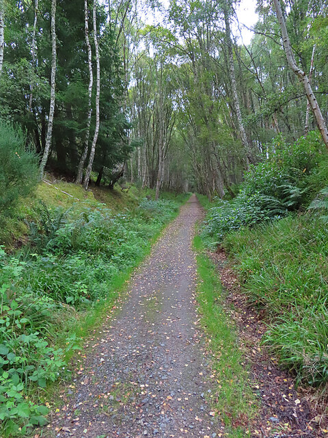
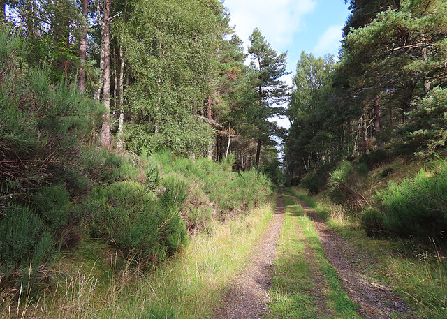
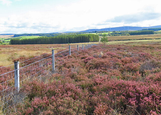
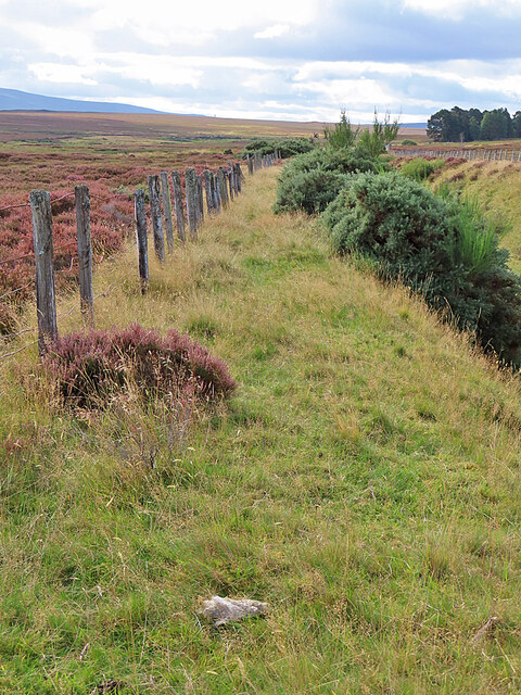
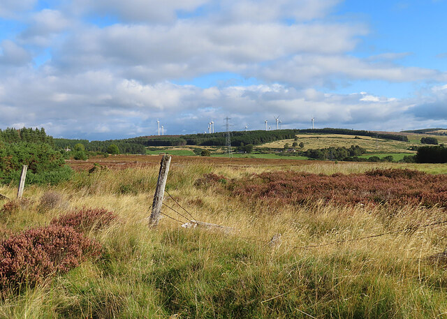
Covered in heather and grasses, the terrain of Wolf Hill is characterized by gentle slopes and rocky outcrops, offering breathtaking panoramic views of the surrounding landscape. Its location within the Cairngorms National Park provides access to a diverse range of flora and fauna, making it an ideal spot for wildlife observation and photography.

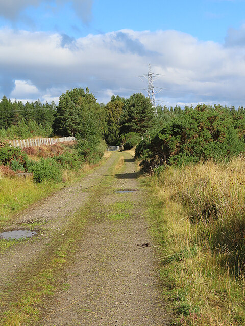
Wolf Hill is a favorite destination for hikers and hillwalkers, offering various routes and trails suitable for different levels of experience. The most common approach is from the Dufftown side, where a well-marked path leads to the summit. Along the way, visitors can enjoy the peacefulness of the countryside, with occasional sightings of deer, birds of prey, and other wildlife.

The hill's name, Wolf Hill, is believed to have originated from the presence of wolves in the area centuries ago. These creatures are now extinct in Scotland, but their historical significance lives on through the name of this captivating natural landmark.

Overall, Wolf Hill offers a rewarding outdoor experience for those seeking stunning views, tranquility, and a chance to connect with nature in the enchanting region of Morayshire.

If you have any feedback on the listing, please let us know in the comments section below.
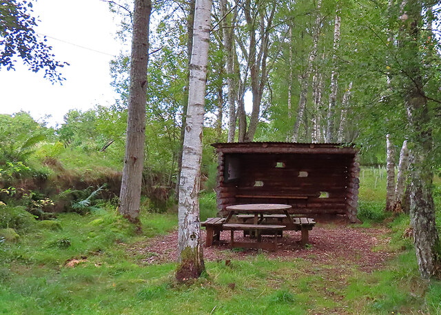
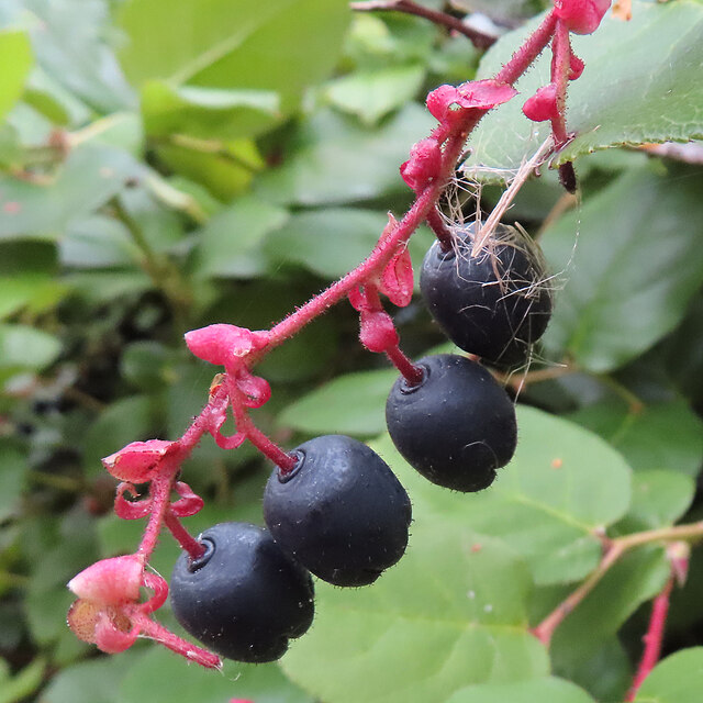
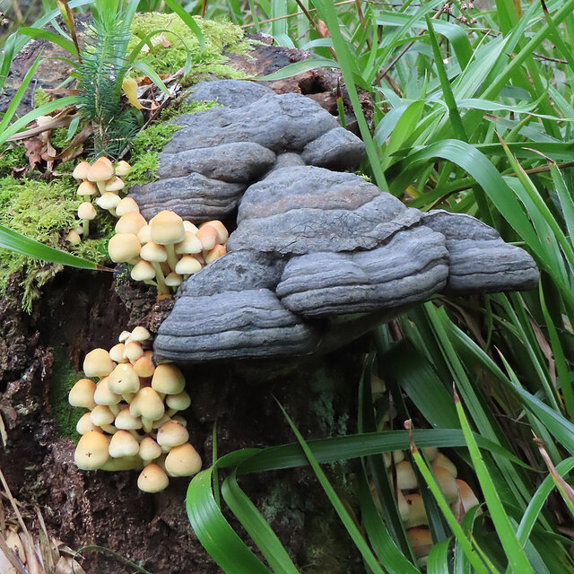
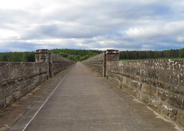
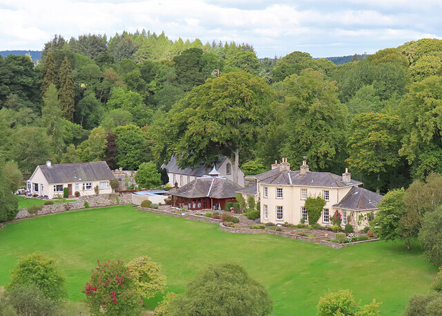
Wolf Hill Images

Images are sourced within 2km of 57.497656/-3.6515636 or Grid Reference NJ0146. Thanks to Geograph Open Source API. All images are credited.

Picnic Shelter All-weather facilities close to Edinkillie's community hall.
Picnic Shelter
All-weather facilities close to Edinkillie's community hall.
Shallon (Gaultheria shallon) A few late flowers on a patch of this widely naturalised and potentially invasive plant from western North America.
Shallon (Gaultheria shallon)
A few late flowers on a patch of this widely naturalised and potentially invasive plant from western North America.
Shallon (Gaultheria shallon) A spray of ripe berries on a patch of this widely naturalised and potentially invasive plant from western North America.
Shallon (Gaultheria shallon)
A spray of ripe berries on a patch of this widely naturalised and potentially invasive plant from western North America.
Fungi Two very different types of fungus on a dead tree stump.

I realised on returning home that I had photographed the identical fungus before <a href="https://www.geograph.org.uk/photo/6577964">NJ0147 : Bracket Fungus</a>, though it did not then have its festoon of toadstools.
Fungi
Two very different types of fungus on a dead tree stump. I realised on returning home that I had photographed the identical fungus before NJ0147 : Bracket Fungus, though it did not then have its festoon of toadstools.
Dava Way The path here passes through a shady railway cutting.
Dava Way
The path here passes through a shady railway cutting.
Divie Viaduct This is the greatest piece of engineering on the former Inverness and Perth Junction Railway. The foundation stone was laid in 1861 and the line opened in 1863. Just over 100 years later it was closed as part of the famous Beeching cuts.
Divie Viaduct
This is the greatest piece of engineering on the former Inverness and Perth Junction Railway. The foundation stone was laid in 1861 and the line opened in 1863. Just over 100 years later it was closed as part of the famous Beeching cuts.
Edinkillie Church and manse, plus modern buildings, seen from the Divie Viaduct.
Edinkillie
Church and manse, plus modern buildings, seen from the Divie Viaduct.
Bantrach Cutting One of many cuttings as the Inverness and Perth Junction railway climbed from Forres towards Dava.
Bantrach Cutting
One of many cuttings as the Inverness and Perth Junction railway climbed from Forres towards Dava.
Moor near Bantrach Looking east across the moor to Bridge of Newton, with the wind turbines at Berryburn in the distance.
Moor near Bantrach
Looking east across the moor to Bridge of Newton, with the wind turbines at Berryburn in the distance.
Old Fence The fence is on the top of the cutting north of Bantrach Wood.
Old Fence
The fence is on the top of the cutting north of Bantrach Wood.
The View towards Berryburn Although the foreground is in this square, the view is dominated by the Berryburn wind farm.
The View towards Berryburn
Although the foreground is in this square, the view is dominated by the Berryburn wind farm.
Dava Way Looking north towards Bantrach Wood along the trackbed of the former Inverness and Perth Junction Railway.
Dava Way
Looking north towards Bantrach Wood along the trackbed of the former Inverness and Perth Junction Railway.
Approach to cemetery at  Edinkillie The is the new cemetery; it's close to the farm at Glenernie on the west side of the A940.
Approach to cemetery at Edinkillie
The is the new cemetery; it's close to the farm at Glenernie on the west side of the A940.
Edinkillie War Memorial War Memorial by Edinkillie Parish Church.
Edinkillie War Memorial
War Memorial by Edinkillie Parish Church.
O.S Benchmark Recorded on Benchmark Database as 'Edinkillie, Church'.
O.S Benchmark
Recorded on Benchmark Database as 'Edinkillie, Church'.
Edenkillie Parish Church The building dates back to 1741.
Edenkillie Parish Church
The building dates back to 1741.
Near Relugas This building near Relugas is marked on the larger scale maps but is not named.
Near Relugas
This building near Relugas is marked on the larger scale maps but is not named.
Land Near Relugas A pasture field and woodland area near Relugas, viewed in early August.
Land Near Relugas
A pasture field and woodland area near Relugas, viewed in early August.
Show me another place!

Wolf Hill is located at Grid Ref: NJ0146 (Lat: 57.497656, Lng: -3.6515636)

Unitary Authority: Moray

Police Authority: North East

What 3 Words

///simulations.allergy.shopping. Near Forres, Moray

Nearby Locations

Wolf Hill

Related Wikis

Edinkillie House

Edinkillie House is a country house in Edinkillie in Moray, Scotland, built in 1822–1823 by John Paterson as a manse for the nearby Edinkillie Church....

Dunphail House

Dunphail House is an Italianate country house in Moray, Scotland. It was designed by William Henry Playfair for Charles Lennox Cumming-Bruce, and was completed...

Dunphail Castle

Dunphail Castle is a ruined 14th-century tower house, about 6.5 miles (10.5 km) south of Forres, Moray, Scotland, west of nearby Dunphail House, and east...

Dunphail railway station

Dunphail railway station was opened with the Inverness and Perth Junction Railway in 1863. == Station layout == The station layout was double platform...

Nearby Amenities

Located within 500m of 57.497656,-3.6515636
Power: pole
Lat/Long: 57.4984892/-3.6439341
Power: pole
Lat/Long: 57.4979062/-3.6446635
Power: pole
Lat/Long: 57.4972808/-3.6455098
Power: pole
Lat/Long: 57.4967346/-3.6462103
Power: pole
Lat/Long: 57.4962112/-3.6468774
Power: pole
Lat/Long: 57.4954959/-3.6478088
Power: pole
Lat/Long: 57.4949187/-3.648564
Power: pole
Lat/Long: 57.4948084/-3.6489667
Power: pole
Lat/Long: 57.4945594/-3.6503084
Power: pole
Lat/Long: 57.4942336/-3.6512337
Power: pole
Lat/Long: 57.4938171/-3.6523916
Power: pole
Lat/Long: 57.4933991/-3.6535738
Power: pole
Lat/Long: 57.4975111/-3.6460644
Power: pole
Lat/Long: 57.4979405/-3.6471159
Power: pole
Lat/Long: 57.4983978/-3.6482859
Power: pole
Lat/Long: 57.4985121/-3.6490973
Power: pole
Lat/Long: 57.4986296/-3.6499088
Glenerney
Alt Name: Glenerny;Glenernie
Place: hamlet
Lat/Long: 57.4961309/-3.6460317
The data included in this document is from www.openstreetmap.org. The data is made available under ODbL.

Have you been to Wolf Hill?

Leave your review of Wolf Hill below (or comments, questions and feedback).