Bank Fold

Settlement in Lancashire

England

Bank Fold

Heading down Jackson Height Following an indistinct footpath over rough ground towards Pickup Bank
Heading down Jackson Height Credit: Chris Heaton

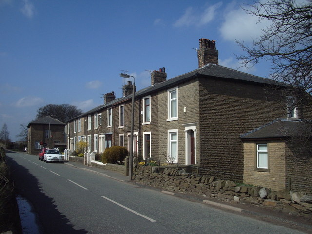
Bank Fold is a small village located in the county of Lancashire, England. Situated in the borough of Chorley, it lies within the larger civil parish of Withnell. The village is surrounded by picturesque countryside and is situated just a few miles away from the town of Chorley.

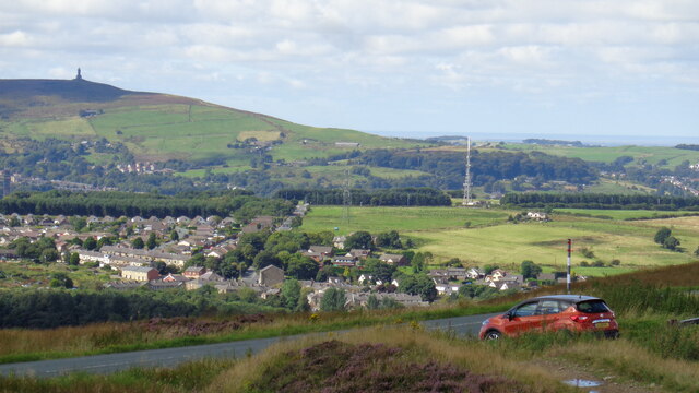
Bank Fold is a close-knit community with a small population of residents. The village is known for its peaceful and idyllic atmosphere, making it an attractive place for those seeking a tranquil rural setting. The landscape is characterized by rolling hills, fields, and meadows, offering ample opportunities for outdoor activities such as walking, hiking, and cycling.

In terms of amenities, Bank Fold offers limited facilities within the village itself. However, nearby Chorley provides a wider range of services including schools, shops, healthcare facilities, and leisure activities. The village benefits from good transport links, with easy access to major roads such as the M61 and M65, making it convenient for commuting to nearby towns and cities.

Bank Fold is surrounded by a rich history and heritage, with several historical landmarks in the vicinity. Nearby attractions include Astley Hall, a Grade I listed country house, and Rivington Pike, a prominent hill with a tower that offers panoramic views of the surrounding area.

Overall, Bank Fold, Lancashire, is a charming village that offers a peaceful and rural lifestyle, while still providing easy access to the amenities and attractions of nearby towns.

If you have any feedback on the listing, please let us know in the comments section below.
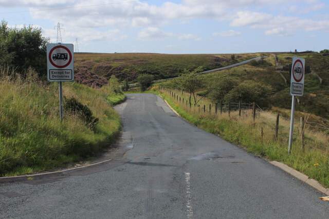
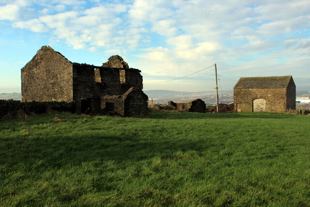
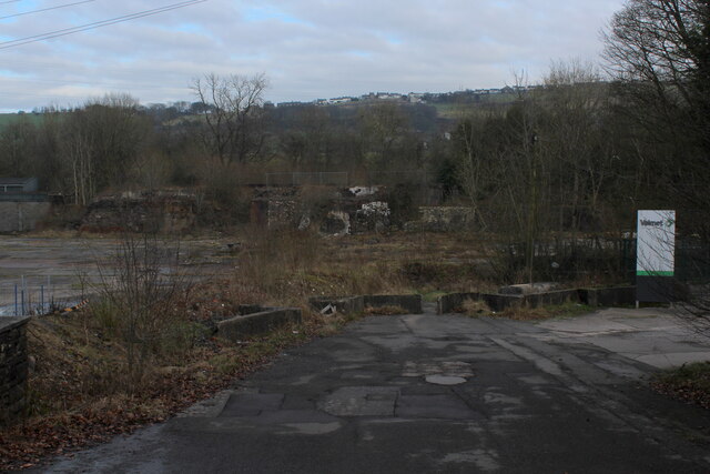
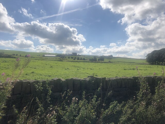
Bank Fold Images

Images are sourced within 2km of 53.713271/-2.427545 or Grid Reference SD7124. Thanks to Geograph Open Source API. All images are credited.

Heading down Jackson Height Following an indistinct footpath over rough ground towards Pickup Bank
Heading down Jackson Height
Following an indistinct footpath over rough ground towards Pickup Bank
Footpath leading away from the Grane Road Very faint footpath, heavily incumbered by reeds heading towards Pickup Bank
Footpath leading away from the Grane Road
Very faint footpath, heavily incumbered by reeds heading towards Pickup Bank
On Jackson Height
On Jackson Height
Long Hey Lane Descending to cross Mean Brook
Long Hey Lane
Descending to cross Mean Brook
Hoddlesden Reservoir Popular local leisure facility - especially with walkers and the fishing fraternity
Hoddlesden Reservoir
Popular local leisure facility - especially with walkers and the fishing fraternity
Hoddlesden Reservoir Embankment Popular destination for walkers and anglers
Hoddlesden Reservoir Embankment
Popular destination for walkers and anglers
Footpath heading for Lower Scholes Farm Passes an unusual mode of enclosure, utilising vertical stones - similar to field features found in the Wycoller area to the east of here.
Footpath heading for Lower Scholes Farm
Passes an unusual mode of enclosure, utilising vertical stones - similar to field features found in the Wycoller area to the east of here.
Johnson New Road Section of road between Hoddlesden and Waterside
Johnson New Road
Section of road between Hoddlesden and Waterside
Harwood Fold A group of buildings in a pasture near Pot House, consisting of two in a ruinous state including a farmhouse - and a stone barn, still in service.
Harwood Fold
A group of buildings in a pasture near Pot House, consisting of two in a ruinous state including a farmhouse - and a stone barn, still in service.
Entering Eccleshill Gardens Approaching on Johnson Road from the south east
Entering Eccleshill Gardens
Approaching on Johnson Road from the south east
View towards Belthorn Looking north east towards the village on the skyline, from Johnson Road
View towards Belthorn
Looking north east towards the village on the skyline, from Johnson Road
Cleared Site at Waterside Business Park Demolished buildings clearing space, currently used as a car and lorry park
Cleared Site at Waterside Business Park
Demolished buildings clearing space, currently used as a car and lorry park
View over farmland To Higher Bold Venture Farm
View over farmland
To Higher Bold Venture Farm
Edgerton Moss vista View over Hoddlesden with Darwen Jubilee Tower on the skyline
Edgerton Moss vista
View over Hoddlesden with Darwen Jubilee Tower on the skyline
Rough walking at site of Higher Alley Cross Somewhere is a path in the open access land around Rushy Hill to Elton Road
Rough walking at site of Higher Alley Cross
Somewhere is a path in the open access land around Rushy Hill to Elton Road
Red brick ruin At the site of Hungry Hillock is this more modern structure that appears like several WWII structures that appear on the moors in connection with decoy devices.
Red brick ruin
At the site of Hungry Hillock is this more modern structure that appears like several WWII structures that appear on the moors in connection with decoy devices.
Clough by side of Long Hey Lane The remains of Mean are visible on the hillside beyond as parallel walls
Clough by side of Long Hey Lane
The remains of Mean are visible on the hillside beyond as parallel walls
Manor House Farm This is a small hamlet, with several residences being formed from the conversion of old farm buildings.
Manor House Farm
This is a small hamlet, with several residences being formed from the conversion of old farm buildings.
Show me another place!

Bank Fold is located at Grid Ref: SD7124 (Lat: 53.713271, Lng: -2.427545)

Unitary Authority: Blackburn with Darwen

Police Authority: Lancashire

What 3 Words

///deaf.forget.sums. Near Darwen, Lancashire

Nearby Locations

Belthorn Bank Fold

Related Wikis

Bank Fold

Bank Fold is a hamlet near Belthorn in Lancashire, England.

Belthorn

Belthorn is a small moorland village situated to the south-east of Blackburn in Lancashire, England. It is about two-thirds of a mile (1.1 km) away from...

Eccleshill, Lancashire

Eccleshill is a civil parish in the Borough of Blackburn with Darwen, Lancashire, England. The population of the parish was only 319, at the census of...

Old St Paul's Church, Hoddlesden

Old St Paul's Church is a former Anglican parish church in the village of Hoddlesden, Lancashire, England. The foundation stone was laid on 27 July 1861...

Nearby Amenities

Located within 500m of 53.713271,-2.427545
Power: tower
Lat/Long: 53.7099163/-2.425116
Power: tower
Lat/Long: 53.7115972/-2.4333605
Power: tower
Lat/Long: 53.7108703/-2.4297953
The data included in this document is from www.openstreetmap.org. The data is made available under ODbL.

Have you been to Bank Fold?

Leave your review of Bank Fold below (or comments, questions and feedback).