Bank End

Settlement in Lancashire South Lakeland

England

Bank End

A595 at Buckman Brow
A595 at Buckman Brow Credit: Colin Pyle

Bank End is a small rural village located in the county of Lancashire, England. Situated in the Ribble Valley district, it lies approximately 5 miles north of the market town of Clitheroe. The village is surrounded by picturesque countryside and offers a peaceful and idyllic setting for its residents.

The main feature of Bank End is its close proximity to the River Ribble, which flows through the village. This provides ample opportunities for outdoor activities such as fishing, boating, and riverside walks. The village is also known for its charming stone houses and traditional architecture, which adds to its rustic charm.

Although Bank End is a small village, it offers some amenities to its residents. There is a local pub, The Ribble Inn, which serves as a social hub for the community. Additionally, there is a small village shop that provides basic groceries and essentials.

For those seeking more extensive amenities, the nearby town of Clitheroe offers a wider range of shops, supermarkets, schools, and healthcare facilities. Clitheroe is also known for its historic castle, which attracts tourists from all over the country.

Bank End is well-connected to the rest of Lancashire and the wider region. The village is easily accessible by road, with the A59 passing nearby, providing links to other major towns and cities. The nearest train station is in Clitheroe, offering regular services to Manchester, Blackburn, and other destinations.

Overall, Bank End offers a tranquil and picturesque location for those seeking a peaceful countryside lifestyle while still having access to nearby amenities and attractions.

If you have any feedback on the listing, please let us know in the comments section below.
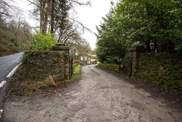
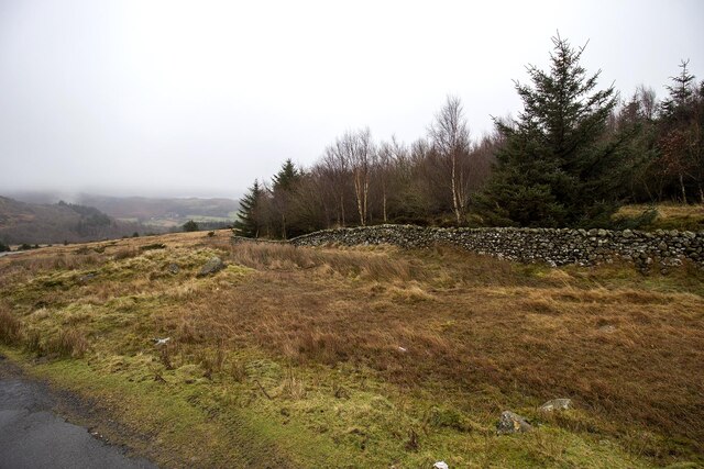
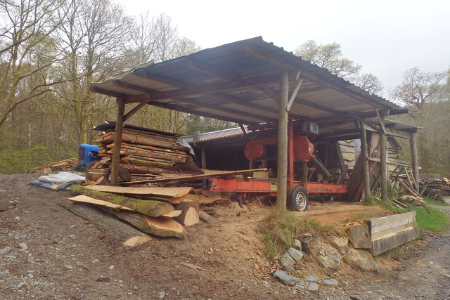
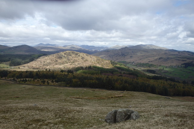
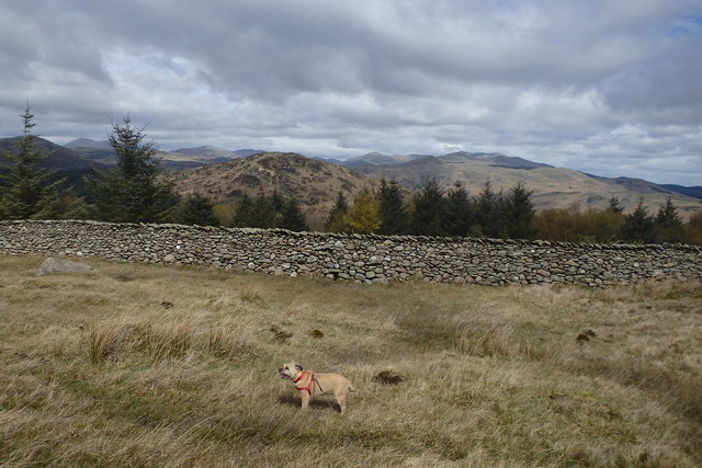
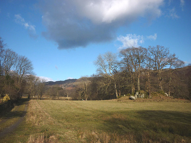
Bank End Images

Images are sourced within 2km of 54.286428/-3.2322105 or Grid Reference SD1988. Thanks to Geograph Open Source API. All images are credited.

A595 at Buckman Brow
Entrance to Duddon Hall
Smallthwaite Plantation
Recent felling on Coops Wood has opened up a view of the bridge over the Duddon
Sawmill at Beckfoot On The edge of the hamlet of Beckfoot on the delightful Ulpha Park path.
Sawmill at Beckfoot
On The edge of the hamlet of Beckfoot on the delightful Ulpha Park path.
Bluebells, Furnace Wood In deepest Duddon
Bluebells, Furnace Wood
In deepest Duddon
Dry Tarn, Barrow The drought has dried up this tiny tarn. I suspect it is the same as <a href="https://www.geograph.org.uk/photo/3741119">SD1888 : Small tarn on Barrow</a>
Dry Tarn, Barrow
The drought has dried up this tiny tarn. I suspect it is the same as SD1888 : Small tarn on Barrow
Ascending Barrow Looking towards the Duddon estuary
Ascending Barrow
Looking towards the Duddon estuary
On Barrow A rarely frequented top
On Barrow
A rarely frequented top
On Barrow Looks like the top
On Barrow
Looks like the top
Descending Barrow Penn, our next objective in shot
Descending Barrow
Penn, our next objective in shot
Forest Edge Under Barrow
Forest Edge
Under Barrow
Duddon iron furnace (disused) A charcoal burning blast furnace dating from 1736. Isaac Wilkinson's cylinder bellows powered by water were first applied here. It is a Scheduled Ancient Monument but is temporarily closed to the public while structural issues are considered. There is a good view from the bridleway that goes past the site.
Duddon iron furnace (disused)
A charcoal burning blast furnace dating from 1736. Isaac Wilkinson's cylinder bellows powered by water were first applied here. It is a Scheduled Ancient Monument but is temporarily closed to the public while structural issues are considered. There is a good view from the bridleway that goes past the site.
Pasture by the Duddon The track from Beckfoot skirts this on the west with the Duddon flowing to Rawfold Bridge on the right.
Pasture by the Duddon
The track from Beckfoot skirts this on the west with the Duddon flowing to Rawfold Bridge on the right.
Pivot type mark This Pivot style mark can be found on the SE parapet of the bridge.
Pivot type mark
This Pivot style mark can be found on the SE parapet of the bridge.
Ordnance Survey Rivet This OS rivet can be found on a boulder NE side of the road. It marks a point 128.778m above mean sea level.
Ordnance Survey Rivet
This OS rivet can be found on a boulder NE side of the road. It marks a point 128.778m above mean sea level.
Ordnance Survey Pivot This OS pivot can be found on a boulder north side of the road. It marks a point 151.068m above mean sea level.
Ordnance Survey Pivot
This OS pivot can be found on a boulder north side of the road. It marks a point 151.068m above mean sea level.
Ordnance Survey Flush Bracket (G3075) This OS Flush Bracket can be found on a roadside building at Duddon Bridge Farm. It marks a point 10.398m above mean sea level.
Ordnance Survey Flush Bracket (G3075)
This OS Flush Bracket can be found on a roadside building at Duddon Bridge Farm. It marks a point 10.398m above mean sea level.
Show me another place!

Bank End is located at Grid Ref: SD1988 (Lat: 54.286428, Lng: -3.2322105)

Administrative County: Cumbria

District: South Lakeland

Police Authority: Cumbria

What 3 Words

///return.bound.finalists. Near Millom, Cumbria

Related Wikis

Bank End

Bank End is a village in Cumbria, England. == External links == Media related to Bank End, South Lakeland at Wikimedia Commons

Duddon furnace

The Duddon furnace (Grid Reference SD 197883) is a surviving charcoal-fuelled blast furnace near Broughton-in-Furness in Cumbria. It is on the west side...

Duddon Bridge

Duddon Bridge is a hamlet in Cumbria, England. == References ==

Duddon Valley

The Duddon Valley is a valley in the southern Lake District National Park in Cumbria, England. The River Duddon flows through the valley, rising in the...

Broughton-in-Furness

Broughton in Furness is a market town in the civil parish of Broughton West in the Westmorland and Furness district of Cumbria, England. It had a population...

St Mary Magdalene's Church, Broughton-in-Furness

St Mary Magdalene's Church is in Broughton-in-Furness, Cumbria, England. It is an active Anglican parish church in the deanery of Furness, the archdeaconry...

Broughton-in-Furness railway station

Broughton-in-Furness railway station served the market town of Broughton-in-Furness, in Lancashire, England (now in Cumbria). It was on the branch line...

Eccle Riggs

Eccle Riggs is a country house located on Eccle Riggs, a ridge of land about 0.75 miles (1.2 km) to the south of Broughton-in-Furness, Cumbria, England...

Nearby Amenities

Located within 500m of 54.286428,-3.2322105
Traffic Signals
Lat/Long: 54.2833121/-3.2306255
Traffic Signals
Lat/Long: 54.2828017/-3.232028
Bus Stop
Ulpha Road End (E bound)
Bench: no
Bin: no
Lit: no
Local Ref: AT
Naptan AtcoCode: 090050201166
Naptan Bearing: N
Naptan BusStopType: CUS
Naptan CommonName: Ulpha Road End (E bound)
Naptan Indicator: at
Naptan Landmark: post box
Naptan NaptanCode: cumawdpw
Naptan Street: A595
Naptan Verified: no
Shelter: no
Source: naptan_import
Tactile Paving: no
Lat/Long: 54.2833813/-3.2306067
Bus Stop
Ulpha Road End (W bound)
Bench: no
Bin: no
Lit: no
Naptan AtcoCode: 090050203284
Naptan Bearing: W
Naptan BusStopType: CUS
Naptan CommonName: Ulpha Road End (W bound)
Naptan Indicator: opp
Naptan Landmark: post box
Naptan NaptanCode: cumawdta
Naptan Street: A595
Naptan Verified: no
Shelter: no
Source: naptan_import
Tactile Paving: no
Lat/Long: 54.2832287/-3.2305868
Duddon Furnace
Historic: ruins
Wikidata: Q5311681
Wikipedia: en:Duddon furnace
Lat/Long: 54.284023/-3.2354975
Post Box
Collection Times: Mo-Fr 16:15; Sa 10:45
Drive Through: no
Ref: LA20 68
Royal Cypher: EIIR
Royal Cypher Wikidata: Q33102113
Lat/Long: 54.2834006/-3.2306051
Material: wood
Power: pole
Lat/Long: 54.2825993/-3.2314767
Material: wood
Power: pole
Lat/Long: 54.2823581/-3.2329197
Material: wood
Power: pole
Lat/Long: 54.282142/-3.2340087
Material: wood
Power: pole
Lat/Long: 54.2825742/-3.234808
Material: wood
Power: pole
Lat/Long: 54.2825536/-3.2350957
Material: wood
Power: pole
Lat/Long: 54.2826206/-3.235613
Material: wood
Power: pole
Lat/Long: 54.2831041/-3.2305092
Material: wood
Power: pole
Lat/Long: 54.2834944/-3.2306983
Material: wood
Power: pole
Lat/Long: 54.2835714/-3.2299925
Duddon Bridge
Place: hamlet
Lat/Long: 54.2827289/-3.2341533
Glade Haw
Place: locality
Lat/Long: 54.2880424/-3.2290499
Stop
Direction: forward
Lat/Long: 54.2833475/-3.2305024
Bank End
Place: locality
Lat/Long: 54.284391/-3.2298483
Harry Wood
Natural: wood
Lat/Long: 54.28902/-3.2339173
Stanley Wood
Natural: wood
Lat/Long: 54.2896792/-3.2326764
Generator Method: photovoltaic
Generator Output Electricity: yes
Generator Source: solar
Generator Type: solar_photovoltaic_panel
Location: roof
Power: generator
Lat/Long: 54.2827927/-3.2363661
Generator Method: photovoltaic
Generator Output Electricity: yes
Generator Source: solar
Generator Type: solar_photovoltaic_panel
Location: roof
Power: generator
Lat/Long: 54.2827457/-3.2362964
Parking
Parking: layby
Lat/Long: 54.2845044/-3.2313631
The data included in this document is from www.openstreetmap.org. The data is made available under ODbL.

Have you been to Bank End?

Leave your review of Bank End below (or comments, questions and feedback).