Bank End
Settlement in Cumberland Allerdale
England
Bank End
Bank End is a small village located in the county of Cumberland, in the northwest of England. Situated on the banks of the River Derwent, it is nestled in a picturesque valley surrounded by rolling hills and lush green countryside. Bank End falls within the broader administrative region of Cumbria.
The village has a rich history dating back centuries, with evidence of human settlement in the area from as early as the Bronze Age. Over the years, Bank End has evolved from a predominantly agricultural community to a more residential area, with a population of around 500 people.
Bank End is known for its close-knit community and friendly atmosphere. The village features a few amenities, including a local pub and a small convenience store, providing basic necessities for its residents. For more extensive services and facilities, residents often rely on nearby towns such as Keswick, which is approximately 5 miles away.
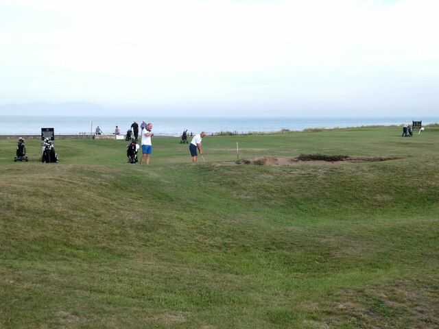
The natural beauty of Bank End and its surroundings make it a popular destination for outdoor enthusiasts. The area offers a range of outdoor activities, including hiking, cycling, and fishing. The nearby Lake District National Park, with its stunning landscapes and tranquil lakes, is easily accessible from Bank End and attracts visitors from all over the world.
Overall, Bank End, Cumberland is a charming village that offers a peaceful and rural lifestyle, with a strong sense of community and a wealth of natural beauty to explore.
If you have any feedback on the listing, please let us know in the comments section below.
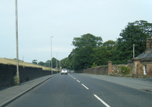
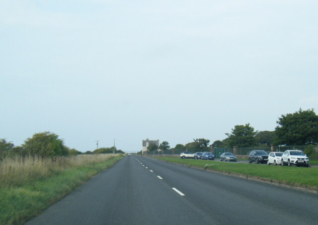
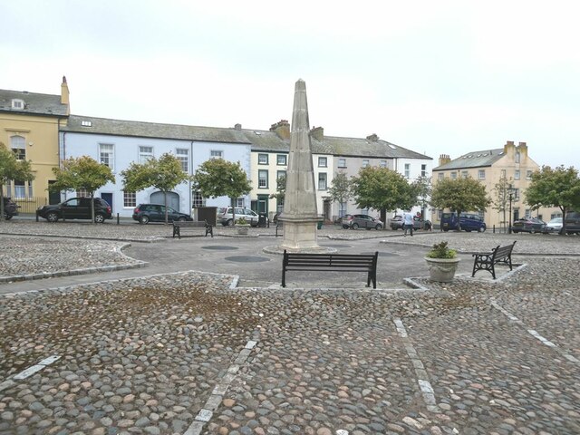
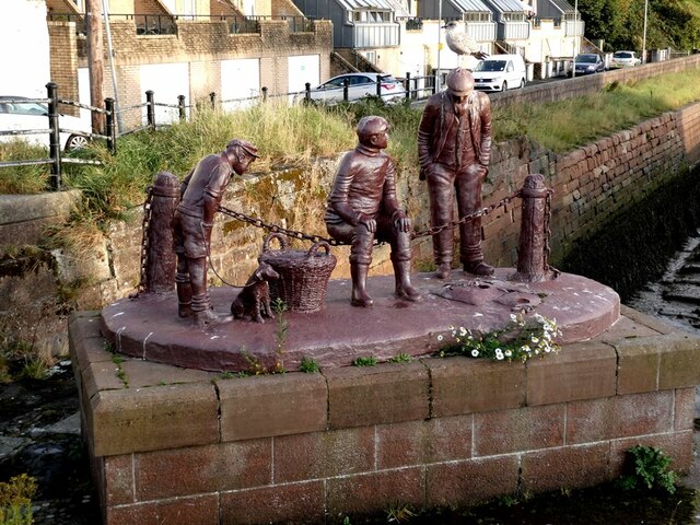
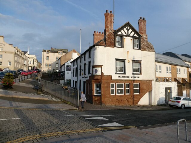
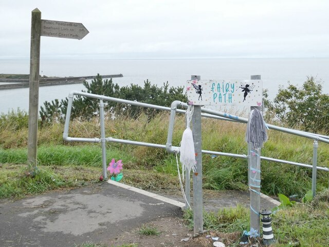
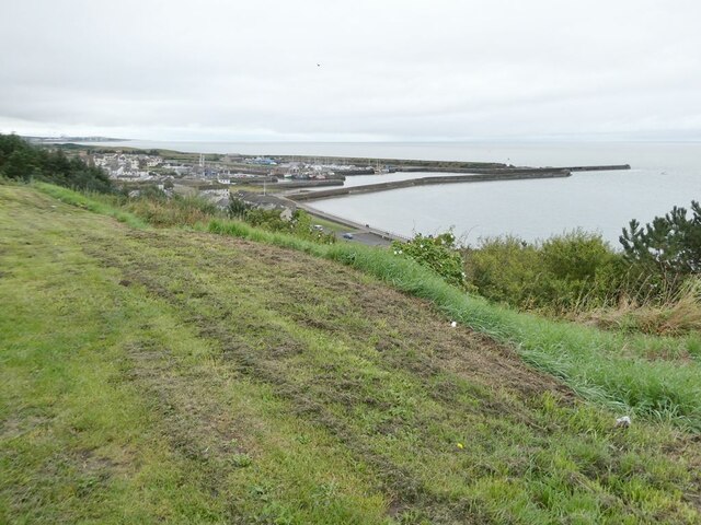
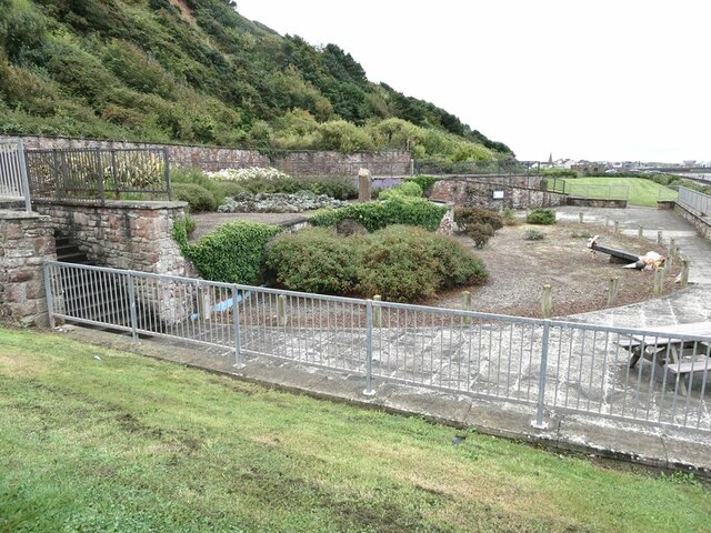
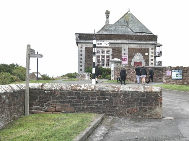
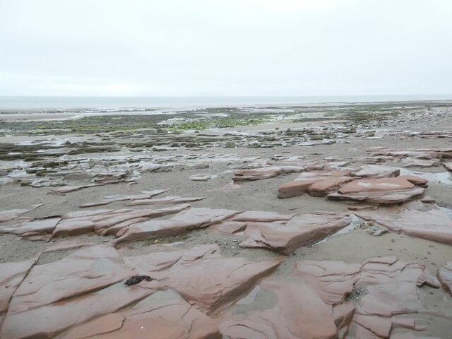
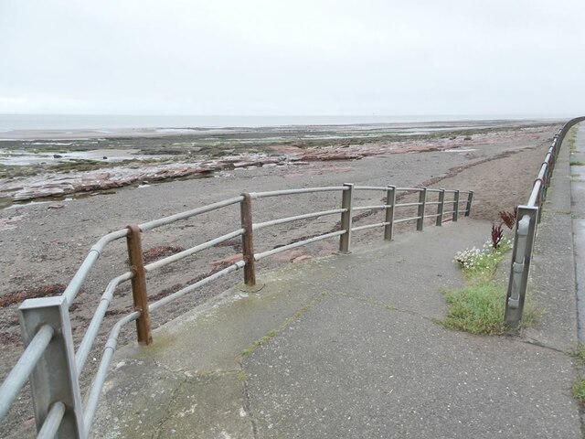
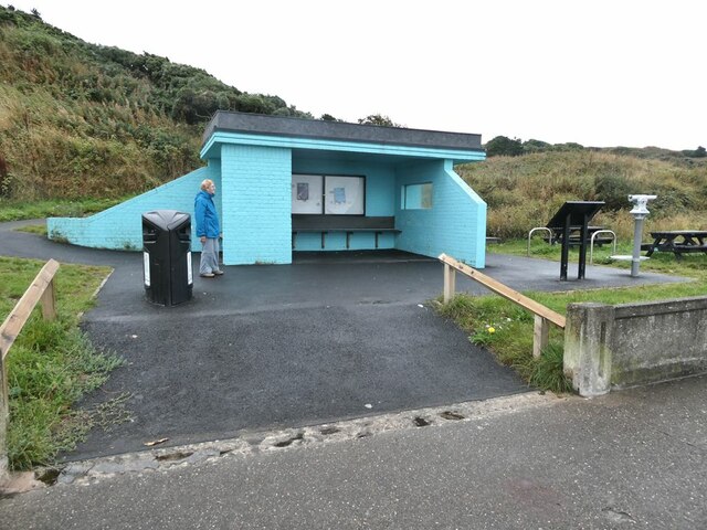
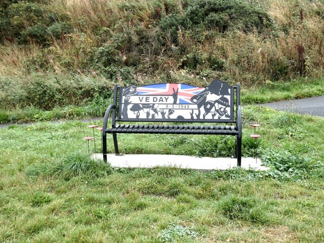
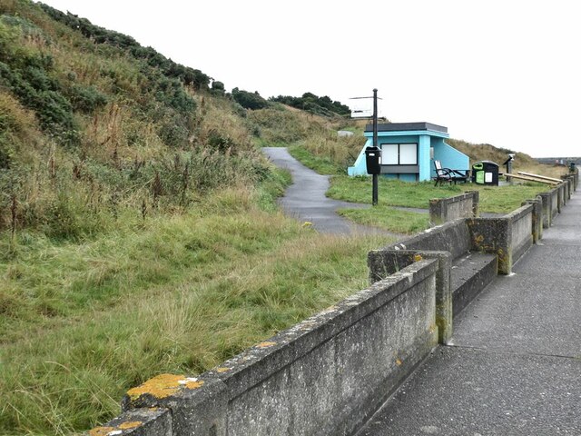
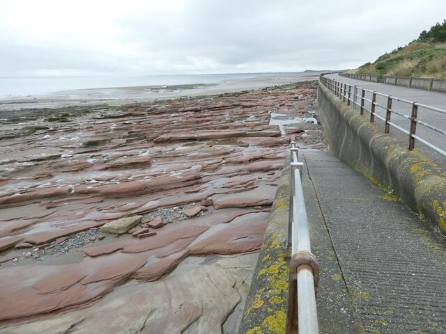
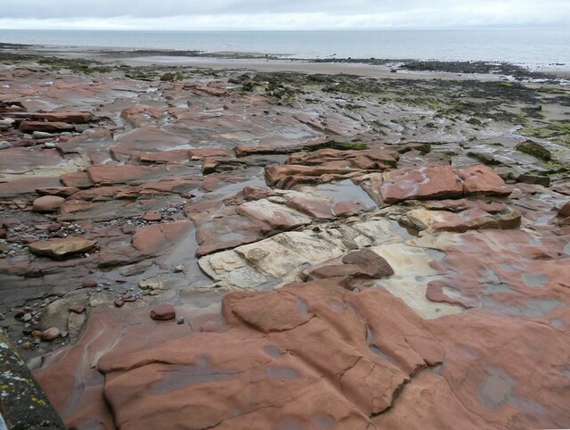
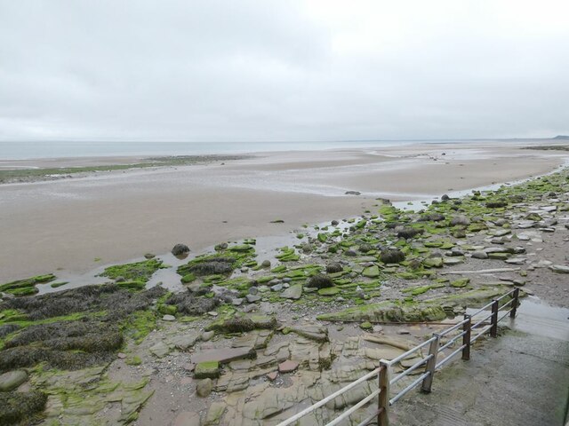
Bank End Images
Images are sourced within 2km of 54.727788/-3.4921957 or Grid Reference NY0438. Thanks to Geograph Open Source API. All images are credited.
Bank End is located at Grid Ref: NY0438 (Lat: 54.727788, Lng: -3.4921957)
Administrative County: Cumbria
District: Allerdale
Police Authority: Cumbria
What 3 Words
///version.northward.requires. Near Maryport, Cumbria
Nearby Locations
Related Wikis

Milefortlet 23
Milefortlet 23 (Sea Brows) was a Milefortlet of the Roman Cumbrian Coast defences. These milefortlets and intervening stone watchtowers extended from the...

Alauna (Maryport)
Alauna was a castrum or fort in the Roman province of Britannia. It occupied a coastal site just north of the town of Maryport in the English county of...

Netherhall School, Maryport
Netherhall School is a secondary school in Maryport, Cumbria. Built in the 1950s, it has a catchment area that covers Maryport, Allerby, Bullgill, Crosby...

River Ellen
The Ellen is a river in the English county of Cumbria, flowing from Skiddaw in the Northern Fells to the Solway Firth at Maryport. It was historically...

Maryport
Maryport is a town and civil parish in Cumbria, England. The town is situated just outside the Lake District National Park, at the northern end of the...

Maryport railway station
Maryport railway station is a railway station serving the coastal town of Maryport in Cumbria, England. It is on the Cumbrian Coast Line, which runs between...

Milefortlet 22
Milefortlet 22 (Brownrigg) was a Milefortlet of the Roman Cumbrian Coast defences. These milefortlets and intervening stone watchtowers extended from the...

Ellenborough, Cumbria
Ellenborough is a suburb of the town of Maryport, Cumbria, England, historically within Cumberland. It takes its name from the nearby River Ellen. The...
Nearby Amenities
Located within 500m of 54.727788,-3.4921957Have you been to Bank End?
Leave your review of Bank End below (or comments, questions and feedback).