Bank
Settlement in Hampshire New Forest
England
Bank

Bank is a small village located in the county of Hampshire, England. Situated in the eastern part of the county, Bank is nestled within the picturesque South Downs National Park. The village is surrounded by rolling hills and beautiful countryside, which make it an ideal destination for nature lovers and outdoor enthusiasts.
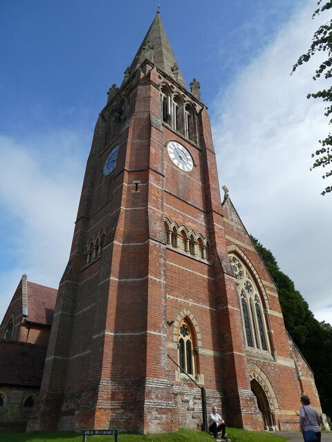
Bank is a tranquil and peaceful village, with a population of around 500 residents. The village is known for its charming and well-preserved traditional architecture, including historic cottages and farmhouses that date back several centuries. The local church, St. Mary's, is a notable landmark and dates back to the 12th century.
Despite its small size, Bank offers a range of amenities to its residents. There is a village shop where locals can purchase everyday essentials, as well as a cozy pub where they can relax and socialize. The village also has a primary school, providing education for the local children.
The surrounding countryside provides numerous opportunities for outdoor activities such as hiking, cycling, and horseback riding. The nearby South Downs Way, a long-distance footpath, offers breathtaking views and is popular among walkers and nature enthusiasts. Additionally, Bank is close to several other attractions, including historic market towns, country estates, and ancient landmarks.
Bank's peaceful atmosphere, stunning natural surroundings, and proximity to other attractions make it a desirable place to live for those seeking a rural lifestyle.
If you have any feedback on the listing, please let us know in the comments section below.
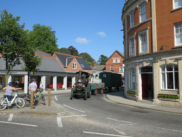
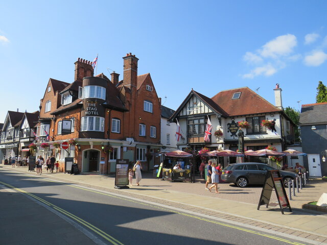
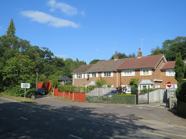
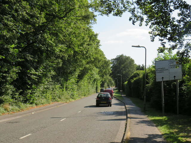
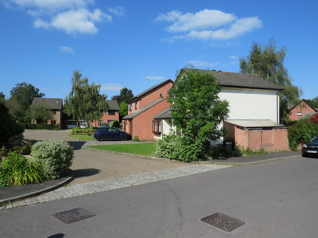
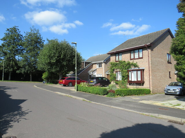
Bank Images
Images are sourced within 2km of 50.861829/-1.59402 or Grid Reference SU2807. Thanks to Geograph Open Source API. All images are credited.


Bank is located at Grid Ref: SU2807 (Lat: 50.861829, Lng: -1.59402)
Administrative County: Hampshire
District: New Forest
Police Authority: Hampshire
What 3 Words
///porridge.rubble.upsetting. Near Lyndhurst, Hampshire
Nearby Locations
Related Wikis

Bank, Hampshire
Bank is a village in the English county of Hampshire. The settlement is within the civil parish of Lyndhurst in the New Forest, and is located approximately...

Allum Green
Allum Green is a hamlet southwest of Lyndhurst, Hampshire, England. During the night of 5/6 September 1940 it was the scene of a Luftwaffe bombing raid...

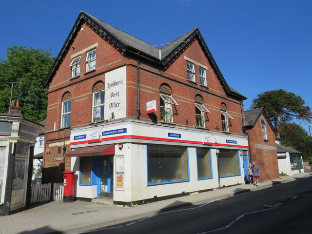
Lyndhurst, Hampshire
Lyndhurst is a large village and civil parish situated in the New Forest National Park in Hampshire, England, about nine miles (14 km) south-west of Southampton...

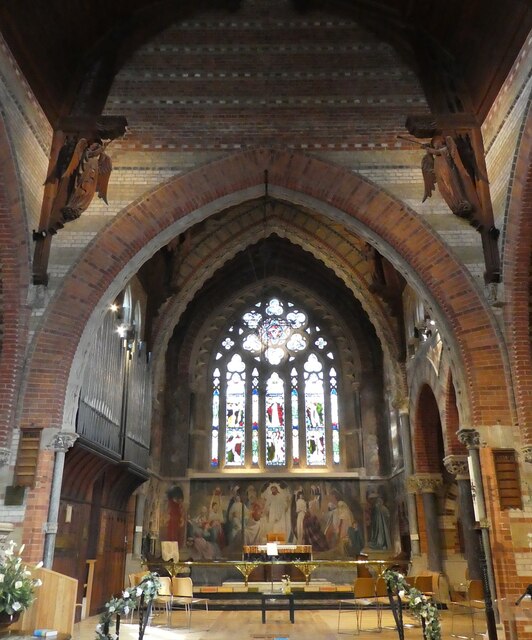
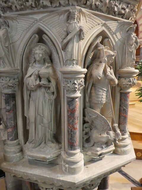
Christ Church, Emery Down
Christ Church is a Church of England church in Emery Down, Hampshire, England. It was designed by William Butterfield and constructed in 1863–64. The church...

Emery Down
Emery Down is a small village in the New Forest National Park in Hampshire, England. Its nearest town is Lyndhurst, which lies approximately 1.4 miles...

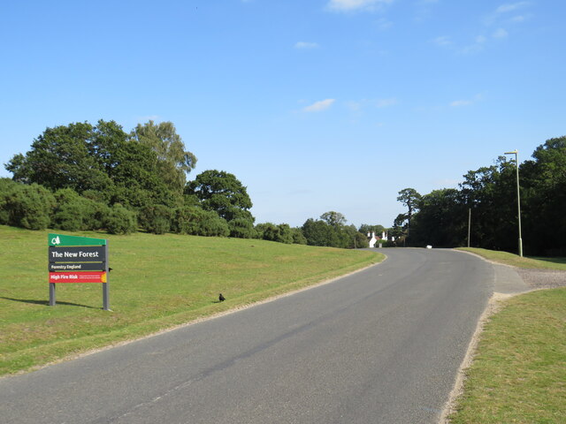
New Forest
The New Forest is one of the largest remaining tracts of unenclosed pasture land, heathland and forest in Southern England, covering southwest Hampshire...
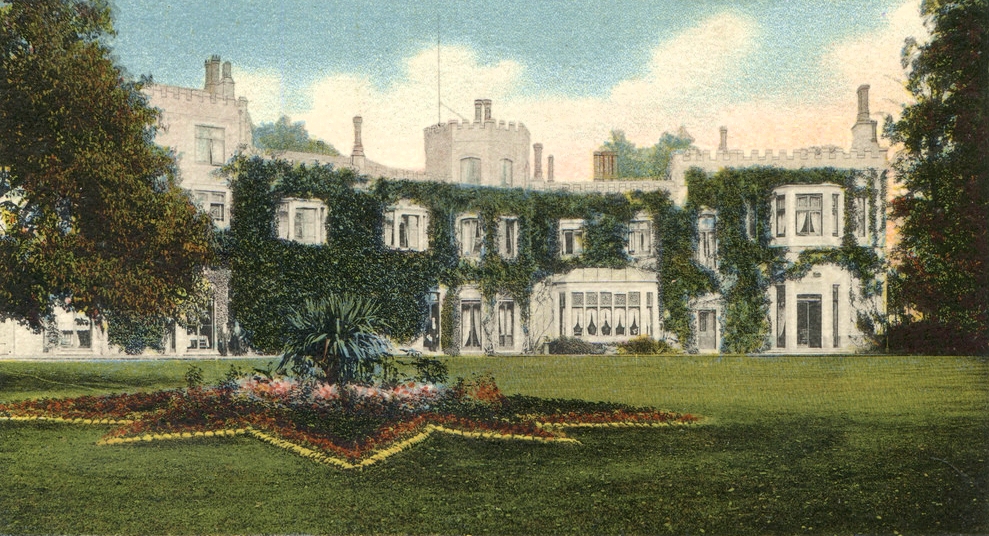
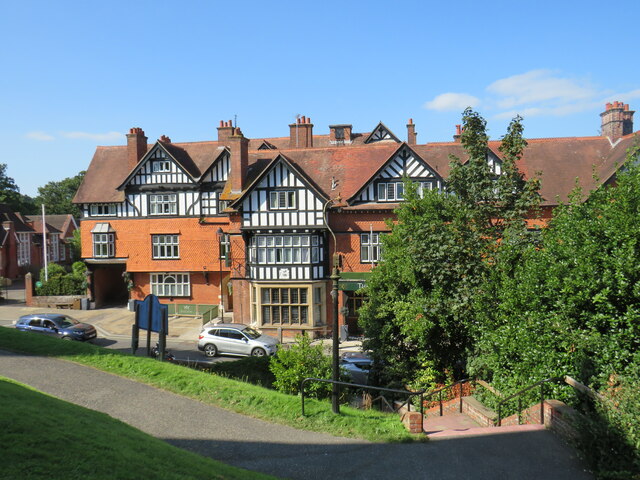
Glasshayes
Glasshayes House is a historic country house in Lyndhurst, in The New Forest, Hampshire. Used in the 20th century as the Grand Hotel, then the Lyndhurst...

Knightwood Oak
The Knightwood Oak is a pedunculate oak and the largest, and perhaps most famous, oak tree in the New Forest, in southern England. It is also known as...
Nearby Amenities
Located within 500m of 50.861829,-1.59402Have you been to Bank?
Leave your review of Bank below (or comments, questions and feedback).