Bank Foot
Settlement in Yorkshire
England
Bank Foot
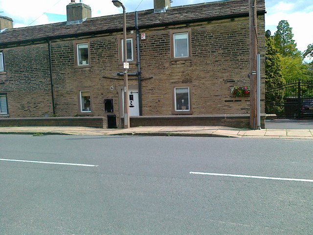
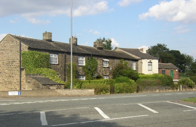
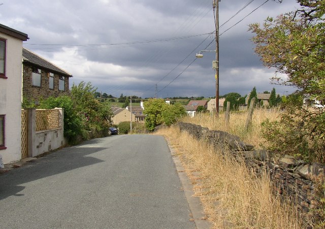
Bank Foot is a small village located in the metropolitan borough of Bradford, West Yorkshire, England. Situated about 8 miles south of the city of Bradford, it lies in the Aire Valley, between the towns of Bingley and Shipley. The village is nestled on the eastern slopes of the Pennines, offering picturesque views of the surrounding countryside.
Bank Foot is primarily a residential area, with a mix of detached and semi-detached houses, as well as some terraced properties. The village has a close-knit community, with a population of around 1,500 people. It enjoys a peaceful and quiet atmosphere, making it an ideal place for families or those seeking a serene living environment.
Despite its small size, Bank Foot has a few amenities to cater to the needs of its residents. There is a primary school in the village, providing education for local children. Additionally, the village boasts a local convenience store and a pub, offering essential services and a place for social gatherings.
The surrounding countryside provides ample opportunities for outdoor activities, with numerous walking and cycling paths. The nearby Leeds and Liverpool Canal also offers a scenic route for boating and leisurely walks. Bank Foot's proximity to the larger towns of Bingley and Shipley provides residents with easy access to a wider range of amenities, including shopping centers, restaurants, and recreational facilities.
In conclusion, Bank Foot is a charming village in Yorkshire, offering a tranquil lifestyle amidst beautiful natural surroundings, while still being conveniently located near larger towns for additional amenities.
If you have any feedback on the listing, please let us know in the comments section below.
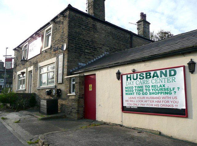
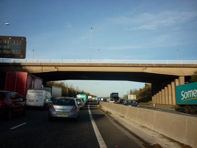
Bank Foot Images
Images are sourced within 2km of 53.71589/-1.750506 or Grid Reference SE2424. Thanks to Geograph Open Source API. All images are credited.


Bank Foot is located at Grid Ref: SE2424 (Lat: 53.71589, Lng: -1.750506)
Division: West Riding
Unitary Authority: Kirklees
Police Authority: West Yorkshire
What 3 Words
///water.guilty.beams. Near Brighouse, West Yorkshire
Related Wikis

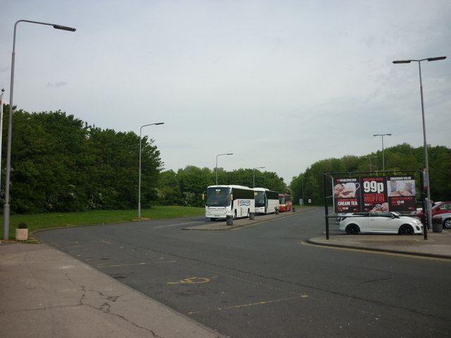
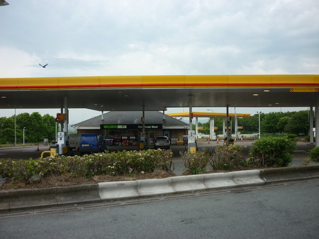
Hartshead Moor services
Hartshead Moor services is a motorway service station on the M62 near Brighouse, West Yorkshire. It is the highest service station in the United Kingdom...
Hartshead Moor Top
Hartshead Moor Top is a hamlet in the county of West Yorkshire, England, halfway between Brighouse and Cleckheaton on the A643. It is close to the Hartshead...
Thornhills
Thornhills is a hamlet in the Kirklees District, in the county of West Yorkshire. It is near the town of Brighouse.

A643 road
The A643 is a main road between Leeds and Huddersfield in West Yorkshire, England. Its eastern end is at the Armley Gyratory roundabout on the western...
Nearby Amenities
Located within 500m of 53.71589,-1.750506Have you been to Bank Foot?
Leave your review of Bank Foot below (or comments, questions and feedback).