Hopstone

Settlement in Shropshire

England

Hopstone

Claverley Pretty village with unspoilt centre.
Claverley Credit: Geoff Pick

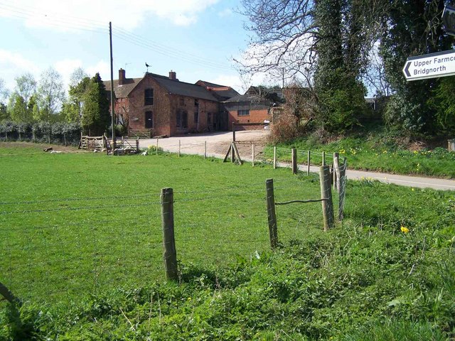
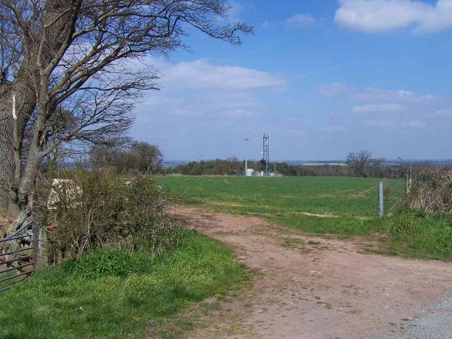
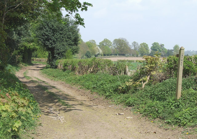
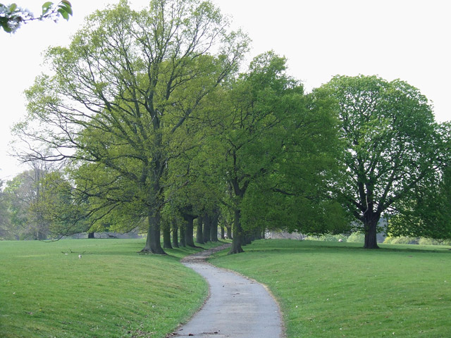
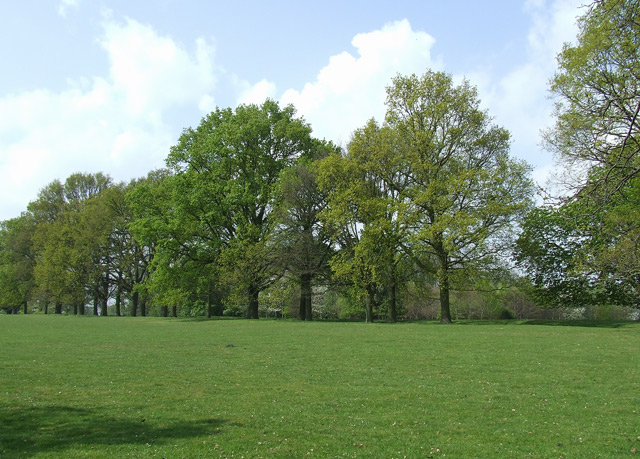
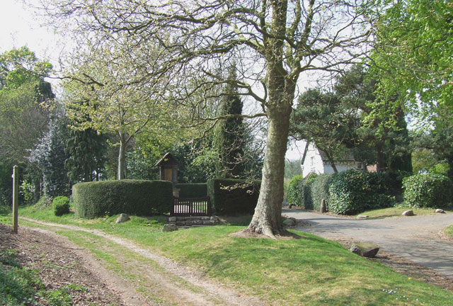
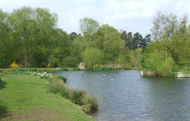
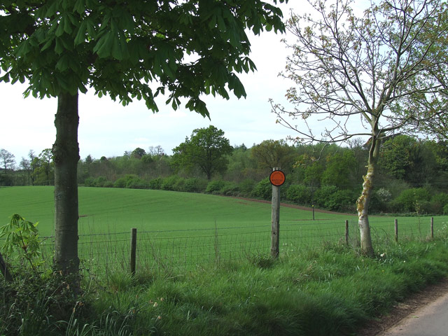
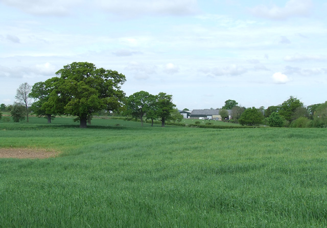
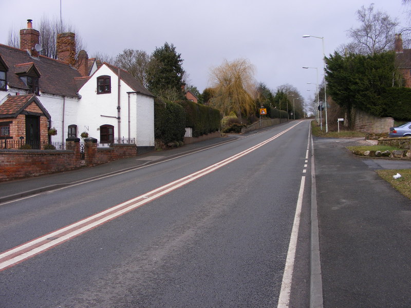
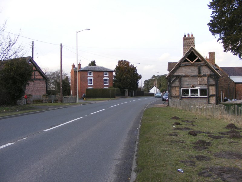
Hopstone is a small village located in the county of Shropshire, England. Situated approximately 7 miles south of the county town of Shrewsbury, it is part of the civil parish of Bayston Hill. The village is nestled in a picturesque rural setting, surrounded by rolling hills and lush green meadows.

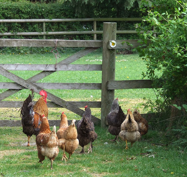
Hopstone is a relatively quiet and peaceful village, with a small population of around 200 residents. The village is primarily residential, consisting of a mix of traditional cottages and more modern houses. The architecture reflects the village's rich history, with some buildings dating back several centuries.

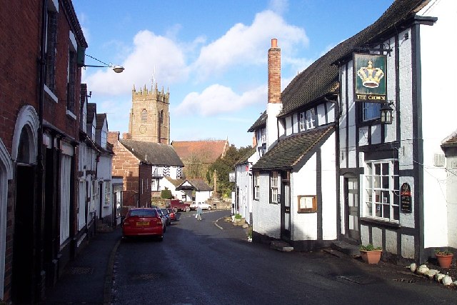
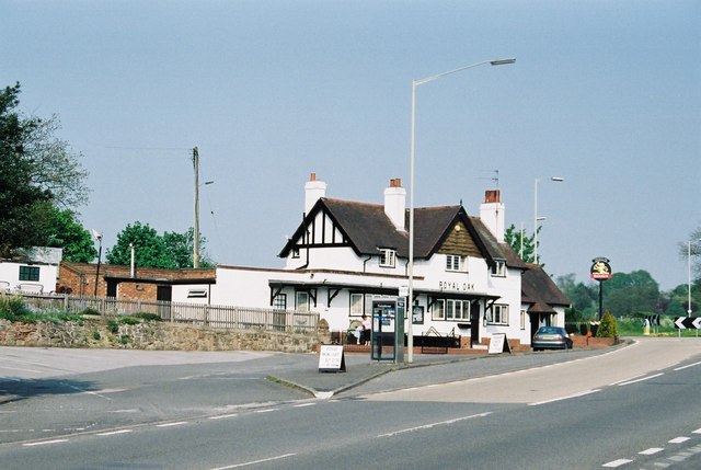
Despite its small size, Hopstone has a strong sense of community. The village boasts a local pub, The Hopstone Inn, which serves as a popular meeting place for locals and visitors alike. The pub offers a range of traditional British dishes and ales, and often hosts community events.

The surrounding countryside provides ample opportunities for outdoor activities. There are several walking trails in the area, offering breathtaking views of the Shropshire Hills Area of Outstanding Natural Beauty. The nearby Long Mynd, a heath and moorland plateau, is a popular spot for hiking and birdwatching.

For amenities and services, residents of Hopstone often rely on the larger nearby town of Bayston Hill. Here, one can find a variety of shops, supermarkets, schools, and healthcare facilities.

Overall, Hopstone offers a tranquil and idyllic setting for those seeking a peaceful village lifestyle in the heart of the Shropshire countryside.

If you have any feedback on the listing, please let us know in the comments section below.
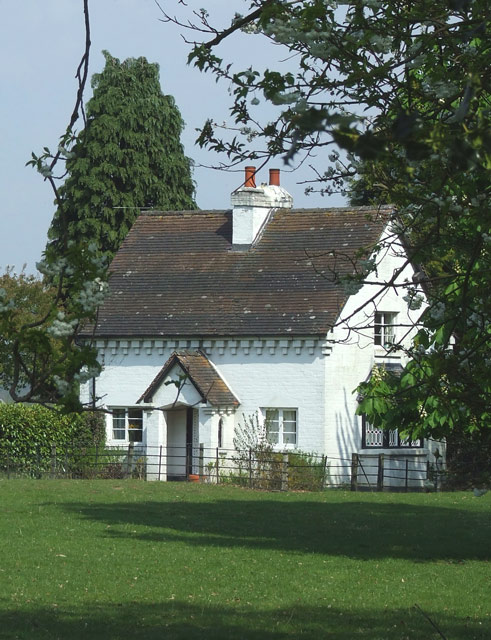
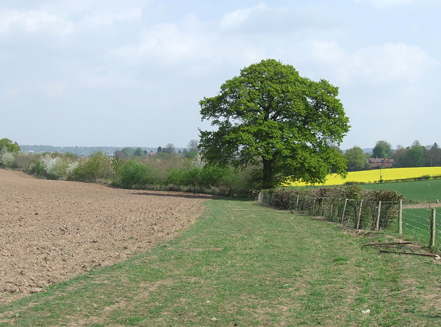
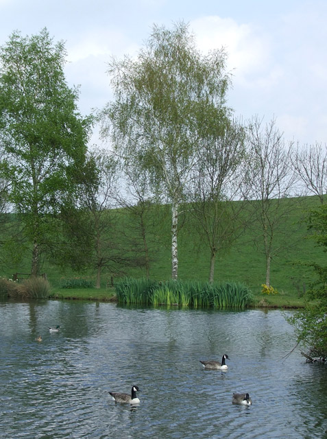
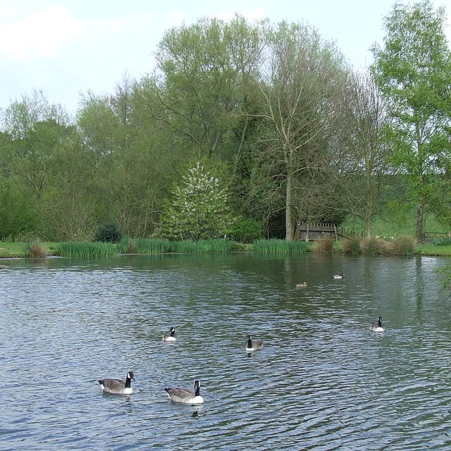
Hopstone Images

Images are sourced within 2km of 52.545655/-2.314803 or Grid Reference SO7894. Thanks to Geograph Open Source API. All images are credited.

Claverley Pretty village with unspoilt centre.
Claverley
Pretty village with unspoilt centre.
Rudge Heath - The Royal Oak Stands on the North of the A454 at its junction with the B4176
Rudge Heath - The Royal Oak
Stands on the North of the A454 at its junction with the B4176
Woundale House Farm
Woundale House Farm
Mast At Dallicott
Mast At Dallicott
Byway near Woundale, Shropshire This track is classified as a "byway open to all traffic". It leads towards Claverley.
Byway near Woundale, Shropshire
This track is classified as a "byway open to all traffic". It leads towards Claverley.
Avenue of Trees, Chyknell Park, Shropshire One of three former approaches to Chyknell Hall.
Avenue of Trees, Chyknell Park, Shropshire
One of three former approaches to Chyknell Hall.
Trees in Chyknell Park, Near Claverley This is part of an avenue of trees approaching Chyknell Hall from the east.
Trees in Chyknell Park, Near Claverley
This is part of an avenue of trees approaching Chyknell Hall from the east.
Tracks, Cottage and War Memorial, near Claverley Five lanes or tracks converge here.
Tracks, Cottage and War Memorial, near Claverley
Five lanes or tracks converge here.
Cottage, Chyknell Park, near Claverley This attractive cottage was probably a gate house to the Chyknell Estate.
Cottage, Chyknell Park, near Claverley
This attractive cottage was probably a gate house to the Chyknell Estate.
Fields near Claverley, Shropshire Attractive countryside. The church tower in Claverley is a prominent landmark.
Fields near Claverley, Shropshire
Attractive countryside. The church tower in Claverley is a prominent landmark.
Fields near Claverley, Shropshire Sandford Lodge is just visible beyond the rape field.
Fields near Claverley, Shropshire
Sandford Lodge is just visible beyond the rape field.
Pool near Claverley, Shropshire A fairly recently developed pool with attractive trees and flowers planted to enhance the landscape.
Pool near Claverley, Shropshire
A fairly recently developed pool with attractive trees and flowers planted to enhance the landscape.
Pool near Claverley, Shropshire A recent development, with extra decorative shrubs and trees enhancing the area. Don't follow the map if you are walking the public footpath. It directs you straight across the water, via the island.
Pool near Claverley, Shropshire
A recent development, with extra decorative shrubs and trees enhancing the area. Don't follow the map if you are walking the public footpath. It directs you straight across the water, via the island.
Pool near Claverley, Shropshire Attractive and nicely planted with decorative trees, shrubs and flowers.
Pool near Claverley, Shropshire
Attractive and nicely planted with decorative trees, shrubs and flowers.
Fields and woodland near Lower Hopstone in Shropshire Neighbourhood Watch signs are prominently displayed in the area.
Fields and woodland near Lower Hopstone in Shropshire
Neighbourhood Watch signs are prominently displayed in the area.
Crop field near Hilton in Shropshire New Barns Farm can be seen beyond the hedge which lines the A454 road.
Crop field near Hilton in Shropshire
New Barns Farm can be seen beyond the hedge which lines the A454 road.
"Public footpath my eye! You've still got to pass me!" Actually he was no trouble; he just looks severe.
"Public footpath my eye! You've still got to pass me!"
Actually he was no trouble; he just looks severe.
"Now, Girls. Just here  I stood on the gate and I said to him....." <a href="https://www.geograph.org.uk/photo/414663">SO7995 : "Public footpath my eye! You've still got to pass me!"</a> (well anything can happen on a public footpath, so be prepared!!)
"Now, Girls. Just here I stood on the gate and I said to him....."
SO7995 : "Public footpath my eye! You've still got to pass me!" (well anything can happen on a public footpath, so be prepared!!)
Show me another place!

Hopstone is located at Grid Ref: SO7894 (Lat: 52.545655, Lng: -2.314803)

Unitary Authority: Shropshire

Police Authority: West Mercia

What 3 Words

///cars.saddens.entitles. Near Pattingham, Staffordshire

Nearby Locations

Lower Hopstone Hopstone

Related Wikis

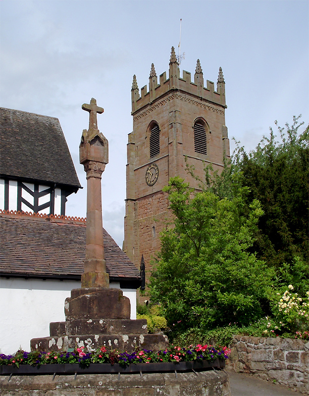
All Saints Church, Claverley

All Saints Church is in the village of Claverley, Shropshire, England. It is an active Anglican parish church in the deanery of Bridgnorth, the archdeaconry...

Claverley

Claverley is a village and civil parish in east Shropshire, England. The parish also includes the hamlets of Beobridge, Hopstone, Upper Aston, Ludstone...

Hilton, Shropshire

Hilton is a village in Shropshire, England. == See also == Listed buildings in Worfield == References == The geographic coordinates are from the Ordnance...

Wyken, Shropshire

Wyken is a hamlet in the English county of Shropshire. Wyken is located on the A454 road between Bridgnorth and Wolverhampton. The nearest village is Worfield...

Nearby Amenities

Located within 500m of 52.545655,-2.314803
Hopstone
Created By: Potlatch 0.10f
Place: hamlet
Lat/Long: 52.5455369/-2.3172902
The data included in this document is from www.openstreetmap.org. The data is made available under ODbL.

Have you been to Hopstone?

Leave your review of Hopstone below (or comments, questions and feedback).