Lower Hopstone

Settlement in Shropshire

England

Lower Hopstone

Claverley Pretty village with unspoilt centre.
Claverley Credit: Geoff Pick

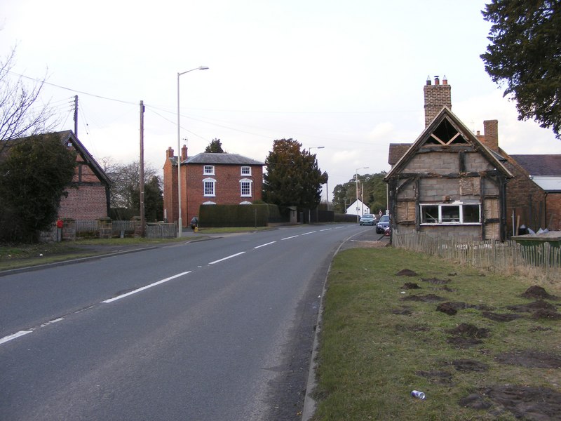
Lower Hopstone is a small village located in the county of Shropshire, England. Situated in the West Midlands, it lies approximately 6 miles southwest of the market town of Ludlow. The village is nestled amidst picturesque countryside, with rolling hills and meandering streams adding to its natural charm.

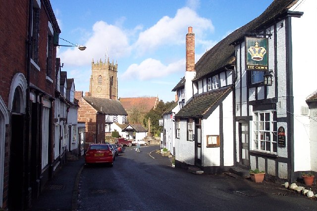
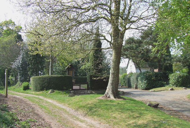
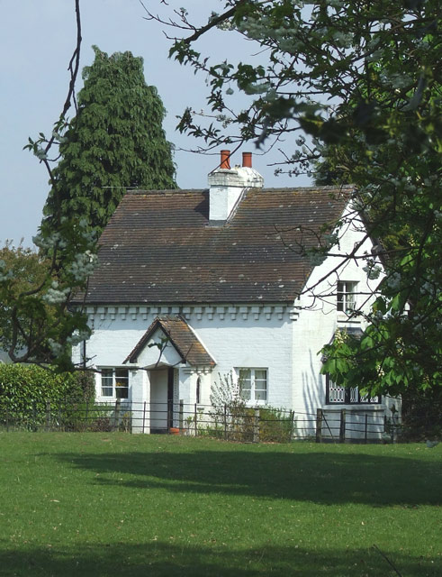
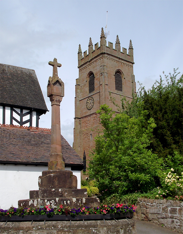
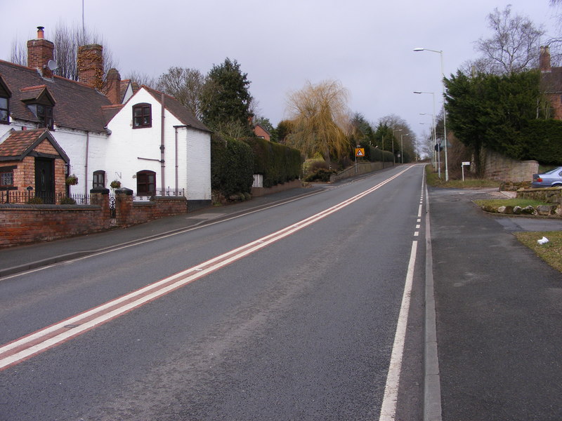
Lower Hopstone is a close-knit community with a population of around 200 residents. The village mainly comprises traditional stone cottages, giving it a quintessentially English feel. The village church, St. Mary's, is a prominent landmark and dates back to the 12th century, providing a glimpse into the area's rich history.

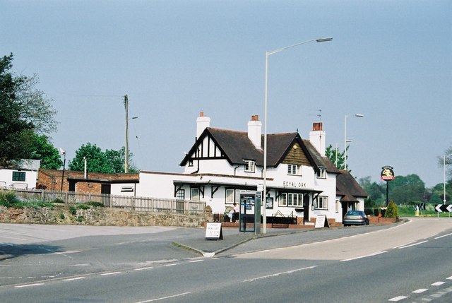
Despite its small size, Lower Hopstone benefits from a range of amenities. The village has a primary school, providing education for local children, and a village hall that serves as a hub for community activities and events. There are also several small businesses, including a post office, a convenience store, and a local pub, where locals and visitors can enjoy a meal or a drink.

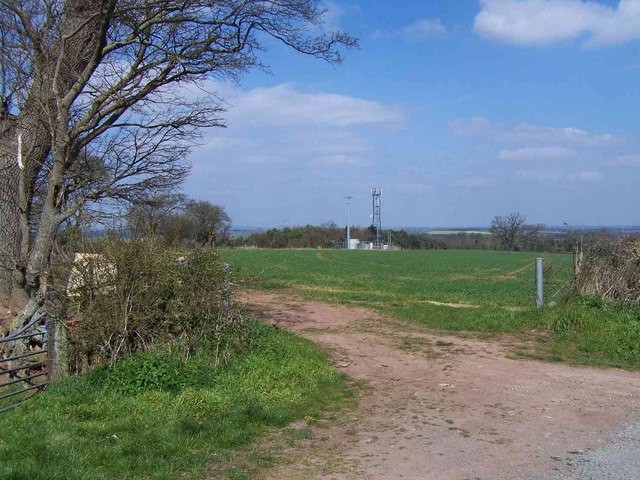
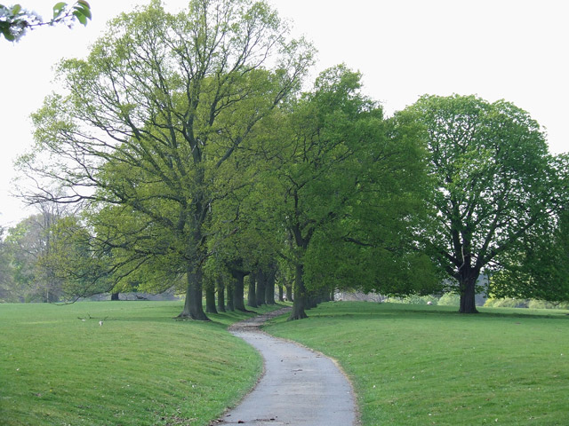
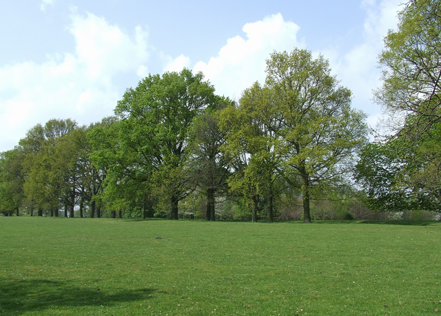
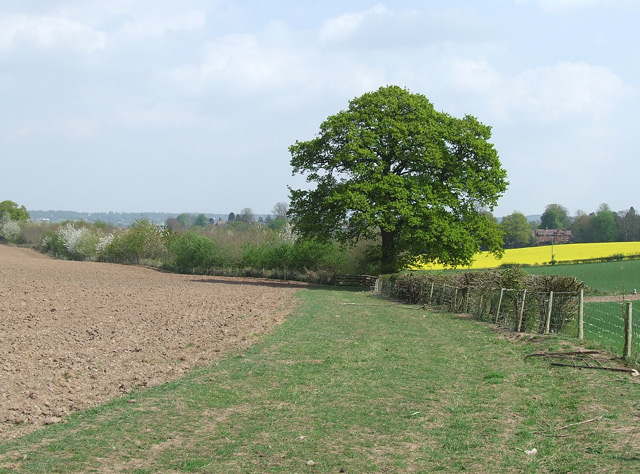
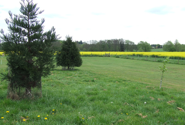
The surrounding area offers numerous opportunities for outdoor activities. Lower Hopstone is close to the Shropshire Hills Area of Outstanding Natural Beauty, providing ample opportunities for hiking, cycling, and exploring the beautiful countryside. Additionally, the nearby towns of Ludlow and Cleobury Mortimer offer further amenities, including shops, restaurants, and leisure facilities.

Overall, Lower Hopstone offers a peaceful and idyllic village lifestyle, with its charming architecture, strong sense of community, and access to the beautiful Shropshire countryside.

If you have any feedback on the listing, please let us know in the comments section below.

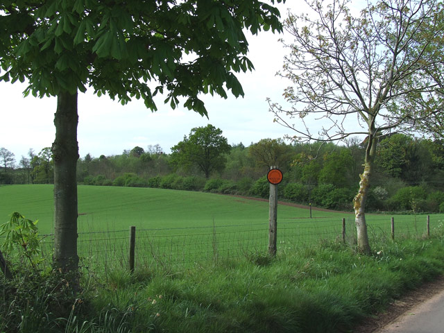
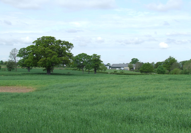
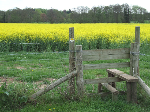
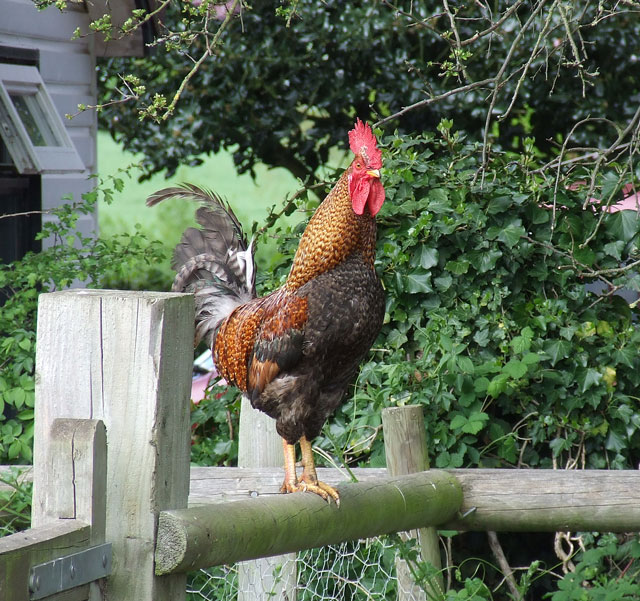
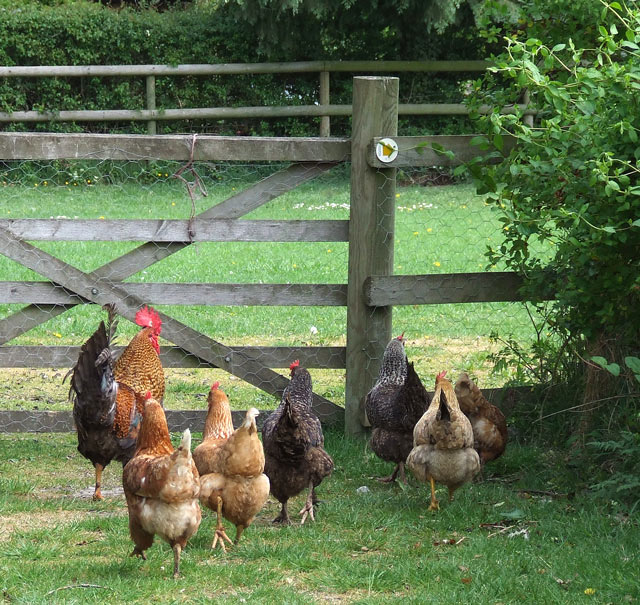
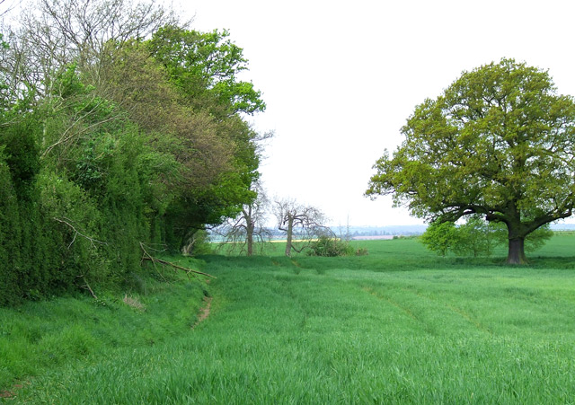
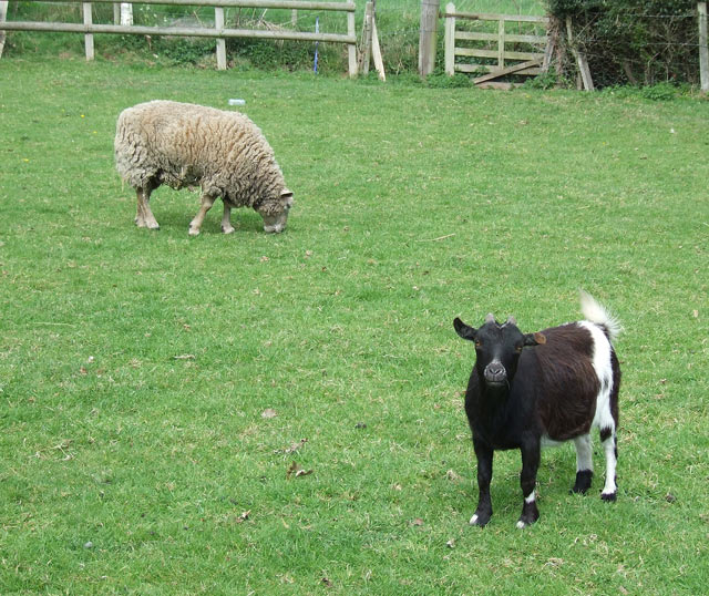
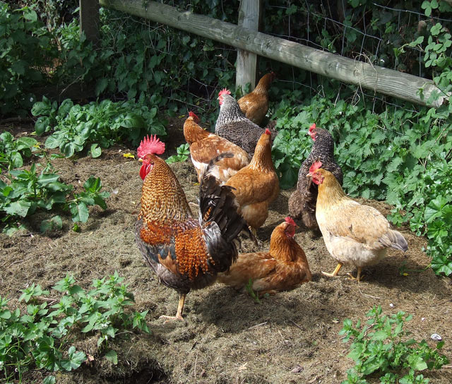
Lower Hopstone Images

Images are sourced within 2km of 52.550136/-2.3132541 or Grid Reference SO7894. Thanks to Geograph Open Source API. All images are credited.

Claverley Pretty village with unspoilt centre.
Claverley
Pretty village with unspoilt centre.
Rudge Heath - The Royal Oak Stands on the North of the A454 at its junction with the B4176
Rudge Heath - The Royal Oak
Stands on the North of the A454 at its junction with the B4176
Mast At Dallicott
Mast At Dallicott
Avenue of Trees, Chyknell Park, Shropshire One of three former approaches to Chyknell Hall.
Avenue of Trees, Chyknell Park, Shropshire
One of three former approaches to Chyknell Hall.
Trees in Chyknell Park, Near Claverley This is part of an avenue of trees approaching Chyknell Hall from the east.
Trees in Chyknell Park, Near Claverley
This is part of an avenue of trees approaching Chyknell Hall from the east.
Tracks, Cottage and War Memorial, near Claverley Five lanes or tracks converge here.
Tracks, Cottage and War Memorial, near Claverley
Five lanes or tracks converge here.
Cottage, Chyknell Park, near Claverley This attractive cottage was probably a gate house to the Chyknell Estate.
Cottage, Chyknell Park, near Claverley
This attractive cottage was probably a gate house to the Chyknell Estate.
Fields near Claverley, Shropshire Attractive countryside. The church tower in Claverley is a prominent landmark.
Fields near Claverley, Shropshire
Attractive countryside. The church tower in Claverley is a prominent landmark.
Fields near Claverley, Shropshire Sandford Lodge is just visible beyond the rape field.
Fields near Claverley, Shropshire
Sandford Lodge is just visible beyond the rape field.
Fields and woodland near Lower Hopstone in Shropshire Neighbourhood Watch signs are prominently displayed in the area.
Fields and woodland near Lower Hopstone in Shropshire
Neighbourhood Watch signs are prominently displayed in the area.
Crop field near Hilton in Shropshire New Barns Farm can be seen beyond the hedge which lines the A454 road.
Crop field near Hilton in Shropshire
New Barns Farm can be seen beyond the hedge which lines the A454 road.
Stile and rapefield near Bradney in Shropshire The public footpath is well waymarked, except that it goes straight across the rape field, and no-one has walked it for some time.
Stile and rapefield near Bradney in Shropshire
The public footpath is well waymarked, except that it goes straight across the rape field, and no-one has walked it for some time.
"Public footpath my eye! You've still got to pass me!" Actually he was no trouble; he just looks severe.
"Public footpath my eye! You've still got to pass me!"
Actually he was no trouble; he just looks severe.
"Now, Girls. Just here  I stood on the gate and I said to him....." <a href="https://www.geograph.org.uk/photo/414663">SO7995 : "Public footpath my eye! You've still got to pass me!"</a> (well anything can happen on a public footpath, so be prepared!!)
"Now, Girls. Just here I stood on the gate and I said to him....."
SO7995 : "Public footpath my eye! You've still got to pass me!" (well anything can happen on a public footpath, so be prepared!!)
Footpath through Crop Fields, near Rudge Heath, Shropshire
Animals in Smallholding. Rudge Heath, Shropshire The public footpath leads from the lane, through a small children's grassy play area, then a small field attached to the neighbouring cottage. Here a few sheep and chickens roam freely (see my other pictures) and this little cutie with his mate. About 40cm shoulder height - could someone tell me the breed so that I can update this page? Ah! PYGMY GOAT.  Thanks Anji :-) 15.3.09
Animals in Smallholding. Rudge Heath, Shropshire
The public footpath leads from the lane, through a small children's grassy play area, then a small field attached to the neighbouring cottage. Here a few sheep and chickens roam freely (see my other pictures) and this little cutie with his mate. About 40cm shoulder height - could someone tell me the breed so that I can update this page? Ah! PYGMY GOAT. Thanks Anji :-) 15.3.09
Free Range Poultry in Smallholding, Rudge Heath, Shropshire The public footpath leads through the small holding.
Free Range Poultry in Smallholding, Rudge Heath, Shropshire
The public footpath leads through the small holding.
Field Development near Bradney, Shropshire Part of the land here is being prepared as a small golf course, with decorative tree planting to enhance the appearance of the sloping rough. The public footpath crosses the stile into, and straight across the field of rape.
Field Development near Bradney, Shropshire
Part of the land here is being prepared as a small golf course, with decorative tree planting to enhance the appearance of the sloping rough. The public footpath crosses the stile into, and straight across the field of rape.
Show me another place!

Lower Hopstone is located at Grid Ref: SO7894 (Lat: 52.550136, Lng: -2.3132541)

Unitary Authority: Shropshire

Police Authority: West Merica

What 3 Words

///leopard.youths.jukebox. Near Pattingham, Staffordshire

Nearby Locations

Hopstone Lower Hopstone

Related Wikis

All Saints Church, Claverley

All Saints Church is in the village of Claverley, Shropshire, England. It is an active Anglican parish church in the deanery of Bridgnorth, the archdeaconry...

Claverley

Claverley is a village and civil parish in east Shropshire, England. The parish also includes the hamlets of Beobridge, Hopstone, Upper Aston, Ludstone...

Hilton, Shropshire

Hilton is a village in Shropshire, England. == See also == Listed buildings in Worfield == References == The geographic coordinates are from the Ordnance...

Wyken, Shropshire

Wyken is a hamlet in the English county of Shropshire. Wyken is located on the A454 road between Bridgnorth and Wolverhampton. The nearest village is Worfield...

Have you been to Lower Hopstone?

Leave your review of Lower Hopstone below (or comments, questions and feedback).