Hopsford
Settlement in Warwickshire Rugby
England
Hopsford

Hopsford is a small village located in the county of Warwickshire, England. Situated approximately 10 miles east of Coventry, it is nestled in the beautiful countryside and is surrounded by rolling hills and picturesque landscapes. The village is part of the Rugby Borough Council.
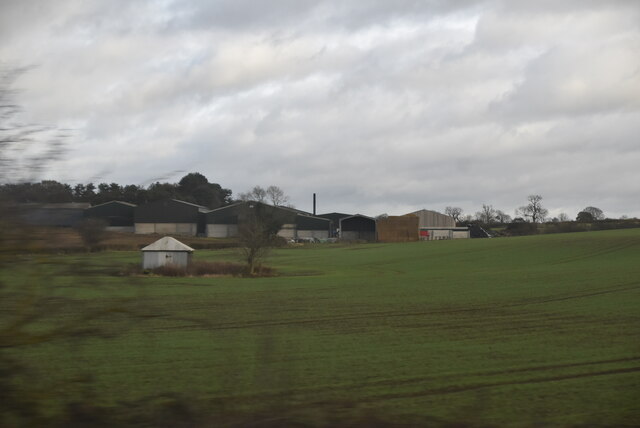
Hopsford has a rich history dating back several centuries. It was originally a farming community, with agriculture playing a crucial role in the village's economy. However, as time progressed, the village diversified its industries and saw the establishment of small businesses, including shops, pubs, and local services.
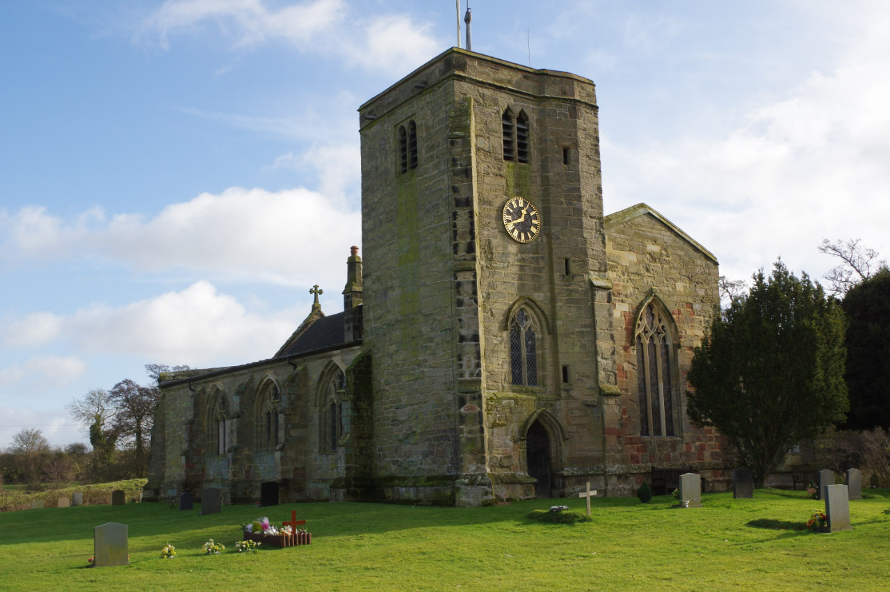
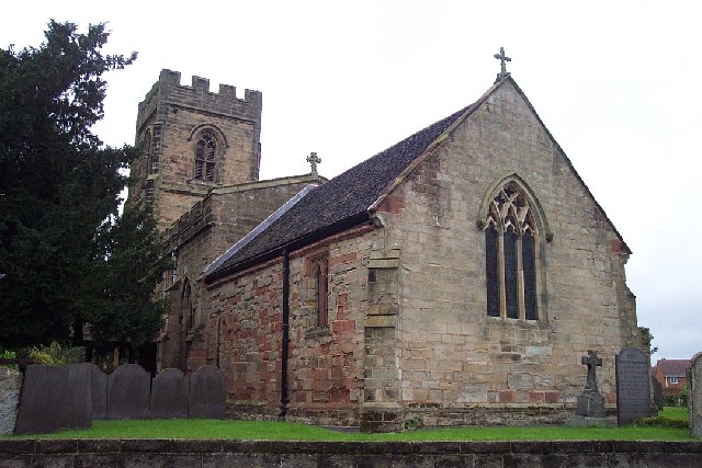
The village itself is relatively small, with a close-knit community of residents who take great pride in their surroundings. The architecture in Hopsford is a mix of historical and modern buildings, giving it a unique and charming character. The local church, St. Laurence's, is a notable landmark that dates back to the 13th century, showcasing the village's historical roots.
Nature lovers will find Hopsford to be a haven, as it is surrounded by beautiful countryside. The village is dotted with walking trails and paths, offering opportunities for residents and visitors to explore the scenic surroundings. The nearby River Avon also provides a tranquil setting for leisure activities such as fishing and boating.
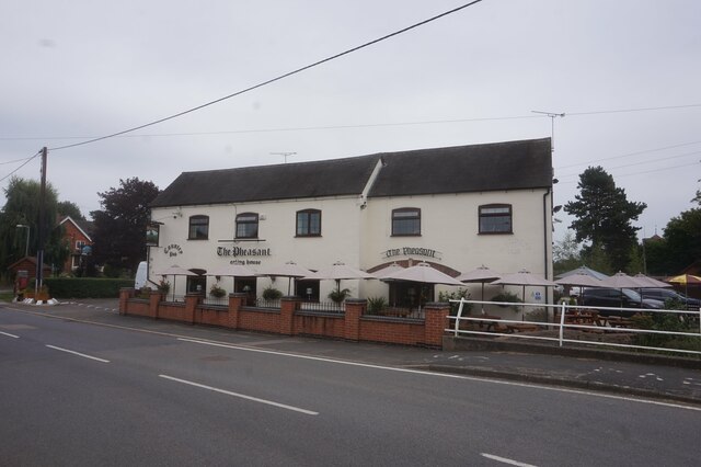
In terms of amenities, Hopsford has a few local shops and a pub, serving as social hubs for the community. For more extensive shopping and entertainment options, residents often travel to nearby towns and cities.
Overall, Hopsford is a peaceful and picturesque village that offers a serene countryside lifestyle while still providing convenient access to larger urban centers.
If you have any feedback on the listing, please let us know in the comments section below.
Hopsford Images
Images are sourced within 2km of 52.454731/-1.380864 or Grid Reference SP4284. Thanks to Geograph Open Source API. All images are credited.


Hopsford is located at Grid Ref: SP4284 (Lat: 52.454731, Lng: -1.380864)
Administrative County: Warwickshire
District: Rugby
Police Authority: Warwickshire
What 3 Words
///shorten.harshest.photo. Near Brinklow, Warwickshire
Nearby Locations
Related Wikis
Withybrook
Withybrook is a rural village and civil parish in the English county of Warwickshire. Its population was 255 at the 2021 census, increased slightly from...
Shilton, Warwickshire
Shilton is a village in the civil parish of Shilton and Barnacle in the English county of Warwickshire. The village is about 5.5 miles (8.9 km) northeast...

Shilton railway station
Shilton railway station was a railway station serving Shilton in the English county of Warwickshire, on the Trent Valley Line of the LNWR.It was situated...

Ansty Hall
Ansty Hall is a 17th-century country house, located in the village of Ansty, and near Coventry and Rugby, Warwickshire, which is now a four star hotel...
Nearby Amenities
Located within 500m of 52.454731,-1.380864Have you been to Hopsford?
Leave your review of Hopsford below (or comments, questions and feedback).