Blackwood Hill
Hill, Mountain in Dumfriesshire
Scotland
Blackwood Hill
Blackwood Hill is a prominent hill located in Dumfriesshire, Scotland. Situated in the southern uplands of the country, it offers breathtaking views and an opportunity to immerse oneself in the natural beauty of the area.
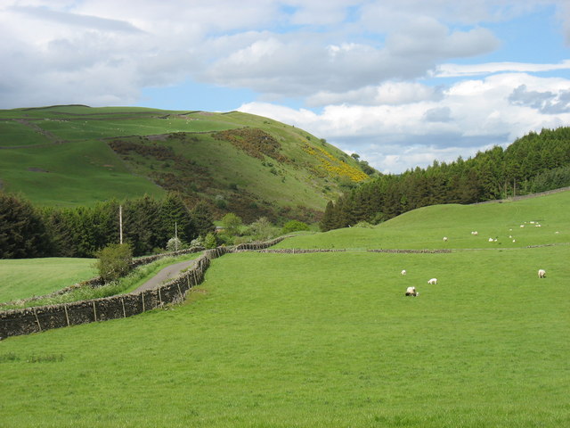
Rising to a height of approximately 522 meters (1,713 feet), Blackwood Hill is characterized by its rugged terrain and distinct rocky outcrops. The hill is covered in a mix of heather, grasses, and scattered patches of forestry, creating a diverse and picturesque landscape.
The ascent to the summit of Blackwood Hill can be challenging, but it rewards hikers and outdoor enthusiasts with stunning panoramic views of the surrounding countryside. On clear days, one can see the rolling hills and valleys of Dumfriesshire, as well as distant glimpses of the Solway Firth.
The hill is also known for its rich biodiversity, providing a habitat for various species of wildlife. Red grouse, mountain hares, and golden eagles are just a few examples of the fauna that can be spotted in the area.
Blackwood Hill is a popular destination for outdoor activities such as hillwalking and birdwatching. Its proximity to nearby towns and villages makes it easily accessible for day trips or longer hikes. Visitors can explore the well-maintained footpaths that wind their way up the hill, allowing them to fully appreciate its natural wonders.
In conclusion, Blackwood Hill in Dumfriesshire offers a rewarding and picturesque experience for nature lovers and outdoor enthusiasts, with its stunning views, diverse flora and fauna, and ample opportunities for exploration.
If you have any feedback on the listing, please let us know in the comments section below.
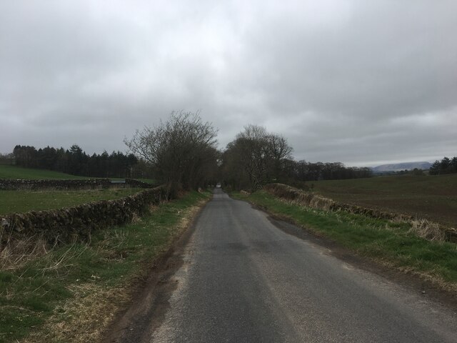
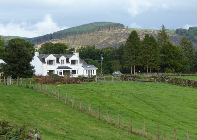
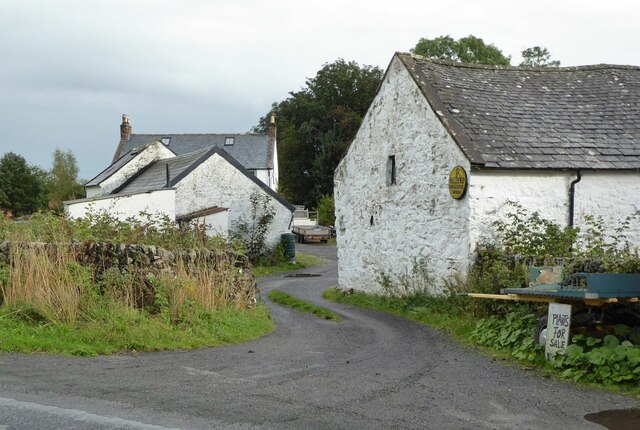
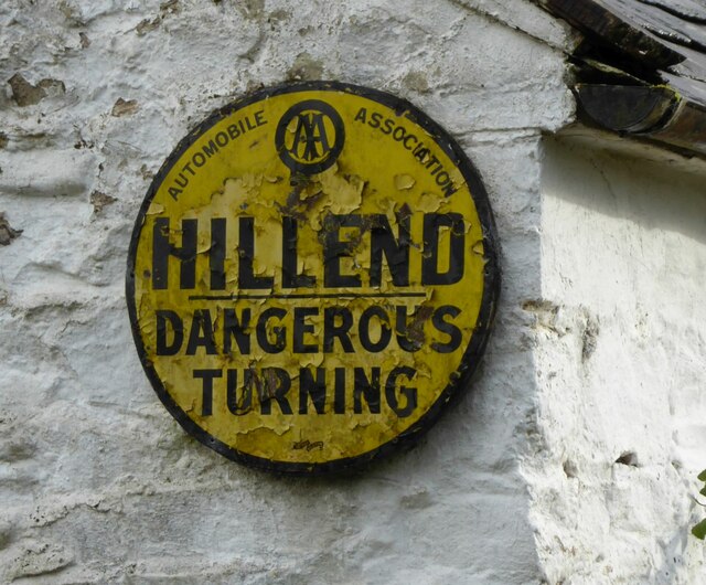
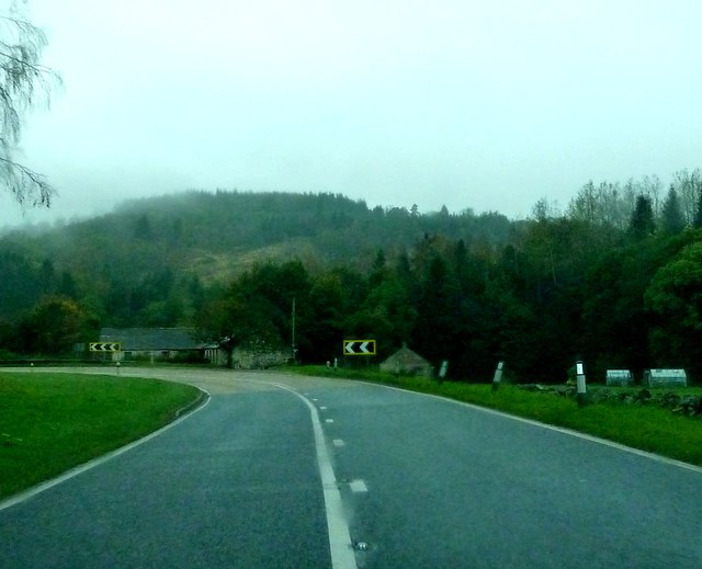
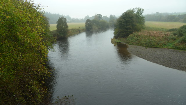
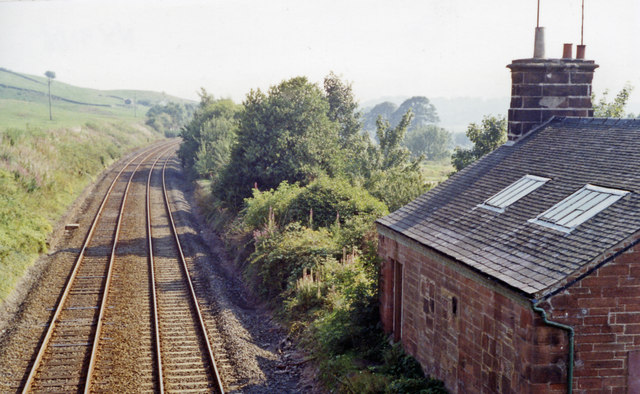
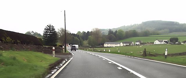
Blackwood Hill Images
Images are sourced within 2km of 55.167076/-3.7308703 or Grid Reference NX8987. Thanks to Geograph Open Source API. All images are credited.
Blackwood Hill is located at Grid Ref: NX8987 (Lat: 55.167076, Lng: -3.7308703)
Unitary Authority: Dumfries and Galloway
Police Authority: Dumfries and Galloway
What 3 Words
///chills.munch.cave. Near Thornhill, Dumfries & Galloway
Nearby Locations
Related Wikis

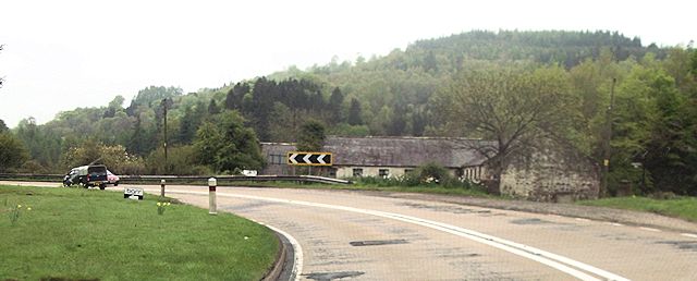
Barburgh Mill
Barburgh Mill is a hamlet composed of an old lint mill, later extended as a woollen mill and associated buildings which lies north of Auldgirth on the...
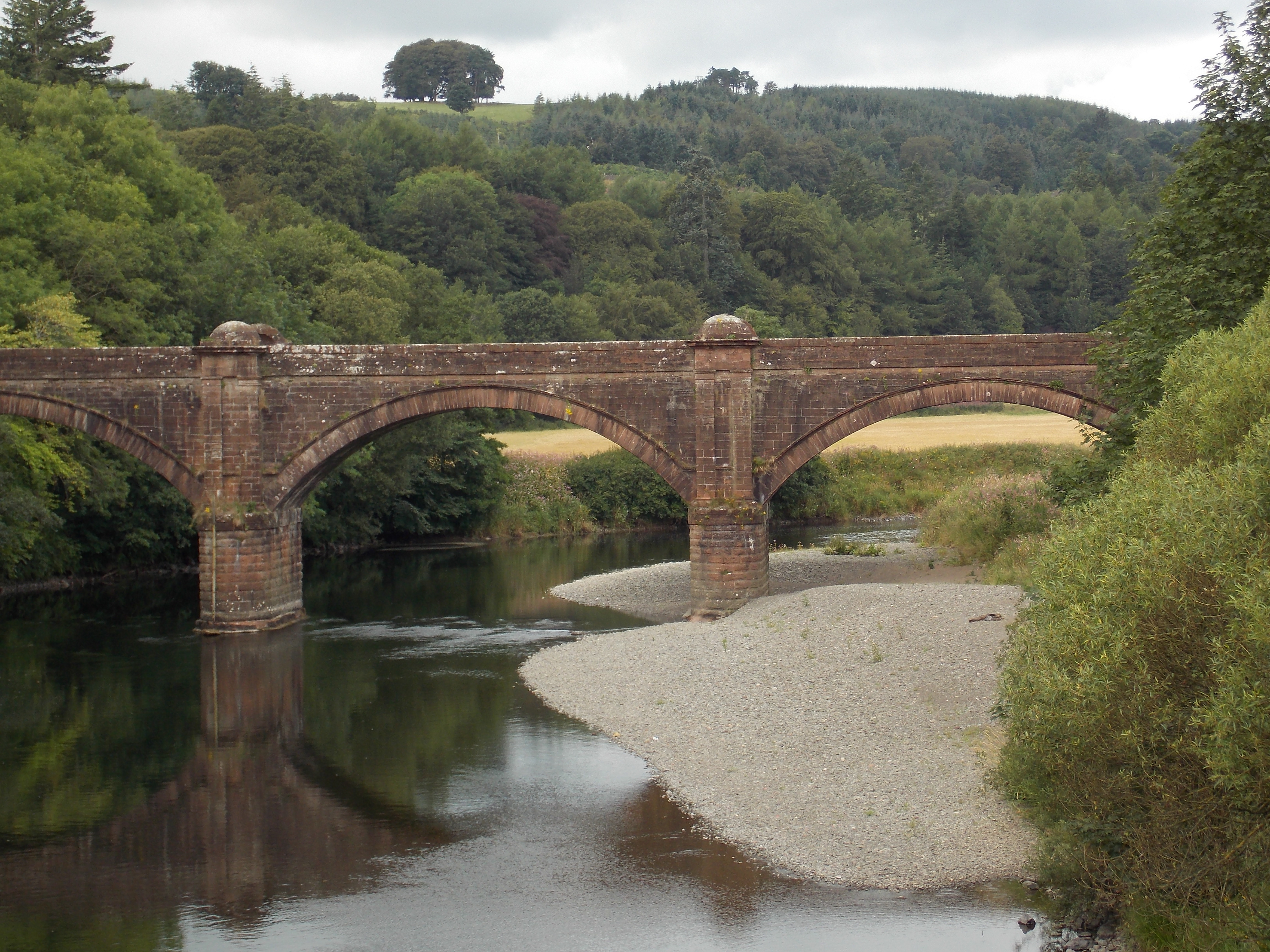
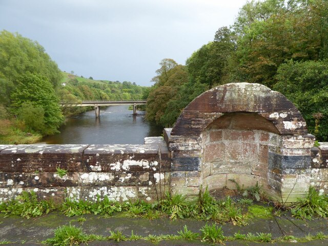
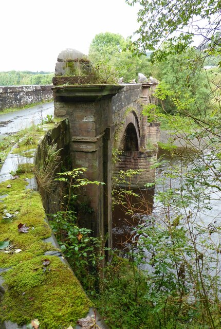
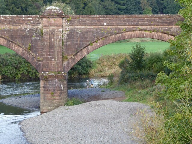
Auldgirth Bridge
Auldgirth Bridge is a bridge over the River Nith just outside Auldgirth in Dumfries and Galloway, Scotland. Designed by David Henderson of Edinburgh in...

Auldgirth railway station
Auldgirth railway station was a station which served Auldgirth, in the Scottish county of Dumfries and Galloway. It was served by trains on what is now...
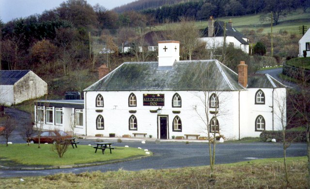
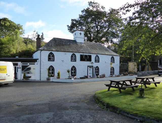
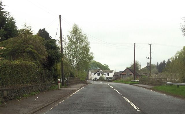
Auldgirth
Auldgirth is a village on the A76 road in Dumfries and Galloway, Scotland. Auldgirth village features 'The Auldgirth Inn' and the former Auldgirth Primary...
Nearby Amenities
Located within 500m of 55.167076,-3.7308703Have you been to Blackwood Hill?
Leave your review of Blackwood Hill below (or comments, questions and feedback).