Glenmidge
Settlement in Dumfriesshire
Scotland
Glenmidge
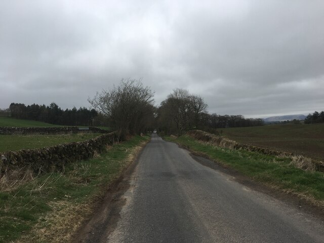
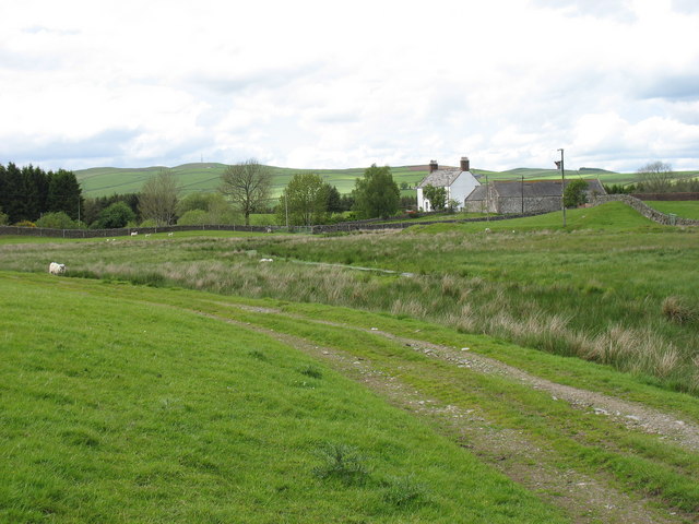
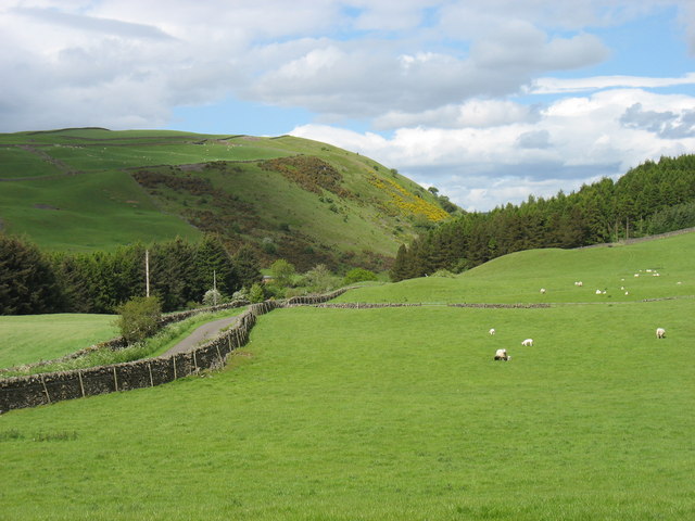
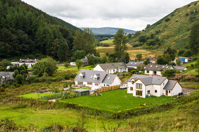
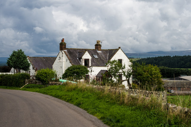
Glenmidge is a small village located in the region of Dumfriesshire, Scotland. Nestled in the picturesque countryside, it is situated approximately 5 miles northeast of the town of Thornhill. The village is known for its tranquil and idyllic setting, surrounded by rolling hills and green pastures.
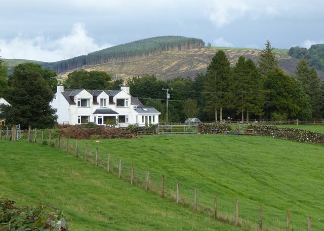
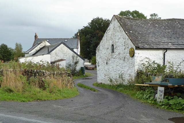
Glenmidge is home to a close-knit community of residents who value the peacefulness and natural beauty of their surroundings. The village consists of a handful of traditional stone cottages, giving it a quaint and charming atmosphere. The local economy is primarily based on agriculture, with many residents engaged in farming and livestock rearing.
One of the notable landmarks in Glenmidge is the Glenmidge Church, a historic place of worship that dates back to the 18th century. The church's architecture showcases traditional Scottish design elements, and it serves as a gathering place for the community.
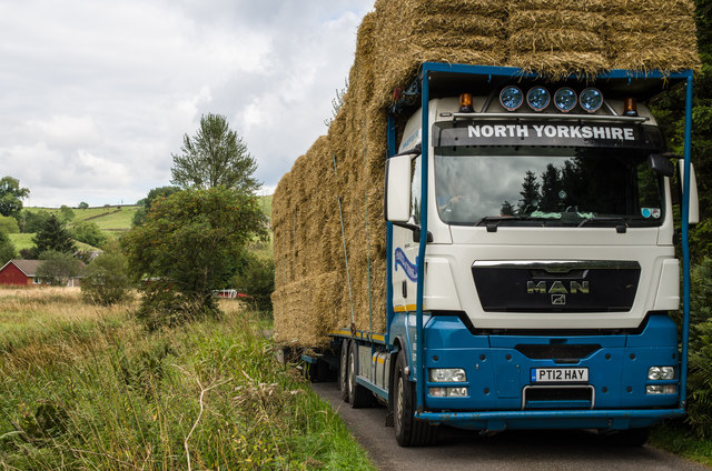
Despite its small size, Glenmidge offers a range of outdoor recreational activities for residents and visitors alike. The surrounding countryside provides ample opportunities for hiking, cycling, and exploring nature trails. Additionally, the nearby River Nith is a popular spot for fishing enthusiasts.
While Glenmidge may be off the beaten path, its peaceful ambiance and natural beauty make it a hidden gem in Dumfriesshire. Visitors seeking a quiet retreat or a glimpse into traditional Scottish village life will find solace and tranquility in this charming countryside village.
If you have any feedback on the listing, please let us know in the comments section below.
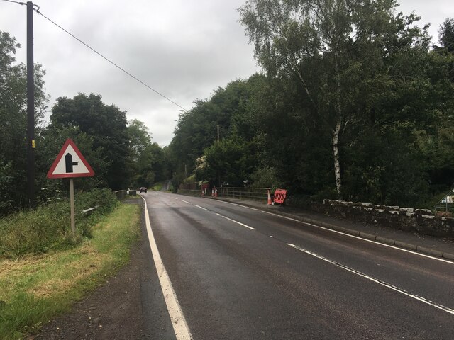
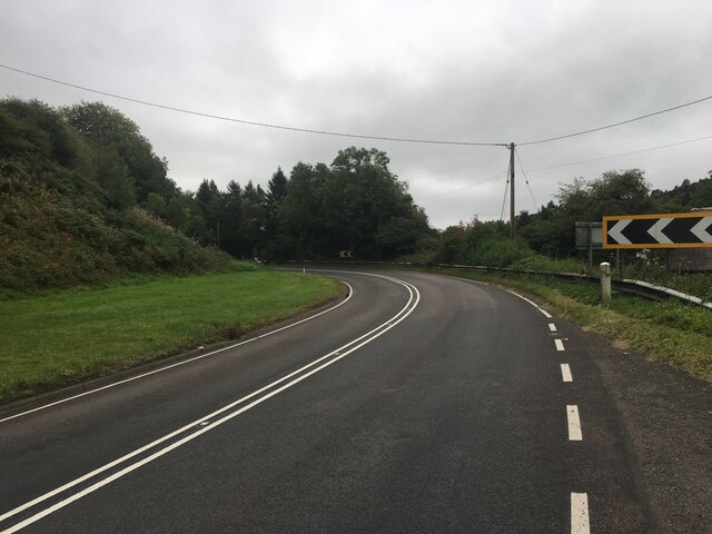
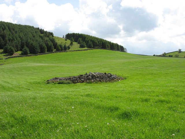
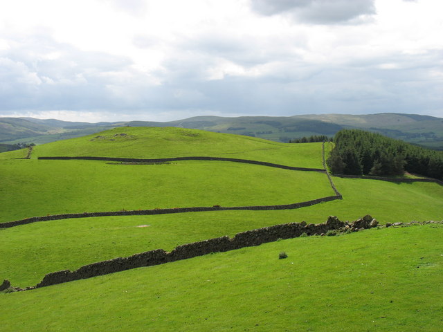
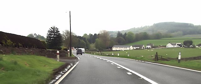
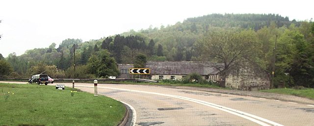
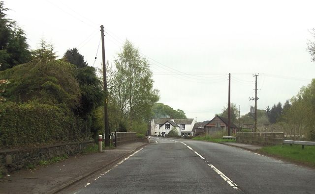
Glenmidge Images
Images are sourced within 2km of 55.164989/-3.7416908 or Grid Reference NX8987. Thanks to Geograph Open Source API. All images are credited.
Glenmidge is located at Grid Ref: NX8987 (Lat: 55.164989, Lng: -3.7416908)
Unitary Authority: Dumfries and Galloway
Police Authority: Dumfries and Galloway
What 3 Words
///ivory.salad.graduated. Near Thornhill, Dumfries & Galloway
Nearby Locations
Related Wikis

Barburgh Mill
Barburgh Mill is a hamlet composed of an old lint mill, later extended as a woollen mill and associated buildings which lies north of Auldgirth on the...
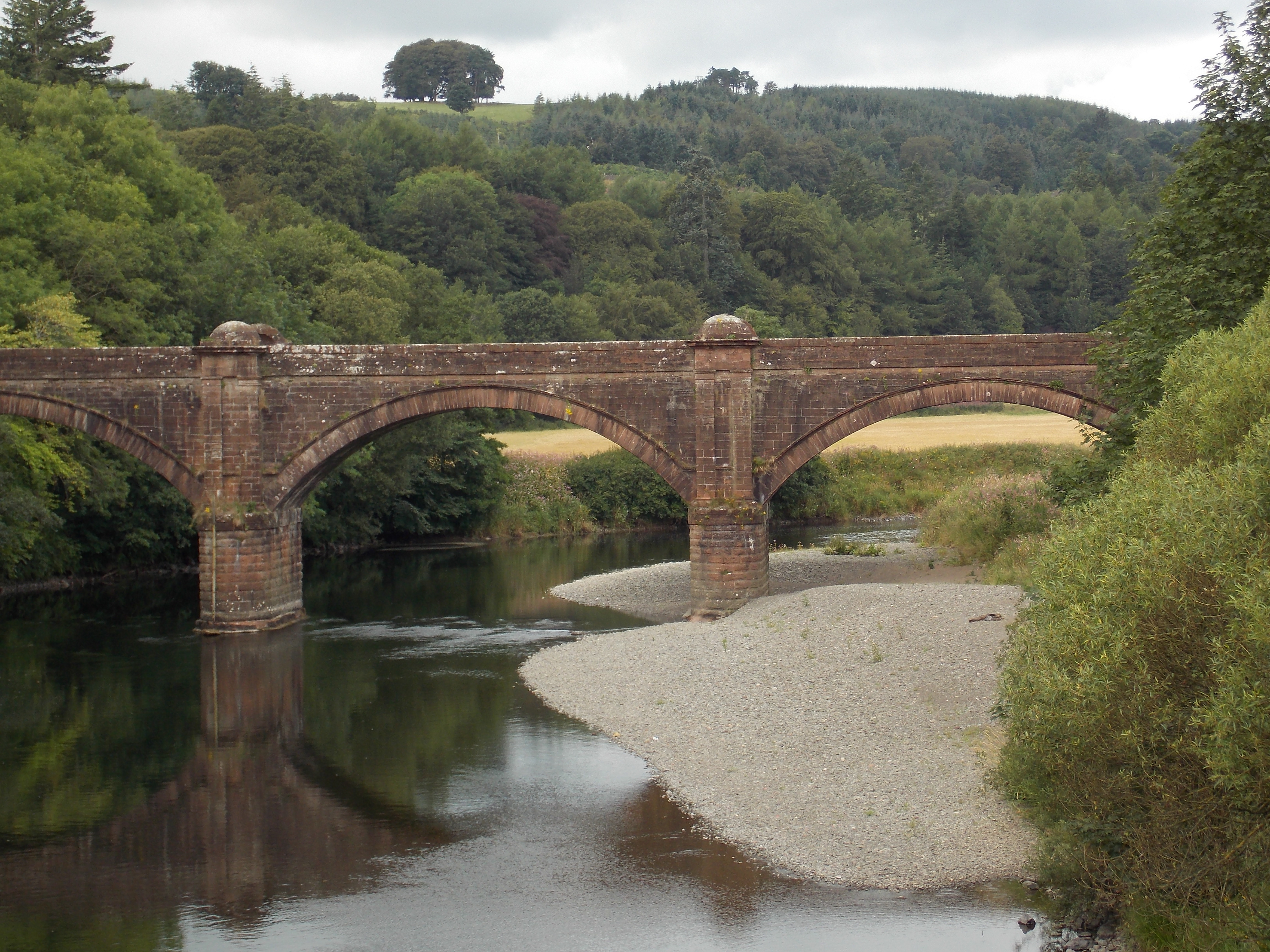
Auldgirth Bridge
Auldgirth Bridge is a bridge over the River Nith just outside Auldgirth in Dumfries and Galloway, Scotland. Designed by David Henderson of Edinburgh in...

Auldgirth railway station
Auldgirth railway station was a station which served Auldgirth, in the Scottish county of Dumfries and Galloway. It was served by trains on what is now...
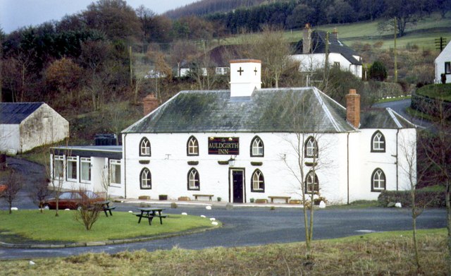
Auldgirth
Auldgirth is a village on the A76 road in Dumfries and Galloway, Scotland. Auldgirth village features 'The Auldgirth Inn' and the former Auldgirth Primary...
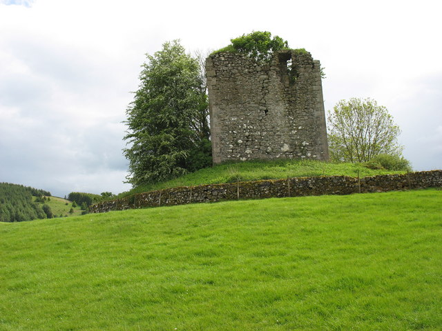
Barjarg Tower
Barjarg Tower is an L-plan tower house probably dating from 1680, four miles south-east of Penpont, Dumfriesshire, Scotland. It is attached to a 19th...

Dunscore
Dunscore (['dʌnskər] / 'DUN-skur', less commonly ['dunskɔ:r] / 'DUN-score') is a small village which lies 9 miles (14 km) northwest of Dumfries on the...

Nithsdale
Nithsdale (Srath Nid in Scottish Gaelic), also known as Strathnith, Stranith or Stranit, is the strath or dale of the River Nith in southern Scotland....
Carse Loch
Carse Loch is situated (NX 926 849) in a low-lying area, surrounded by woodland, close to the A76 at Friar's Carse, in Dumfries and Galloway, Parish of...
Nearby Amenities
Located within 500m of 55.164989,-3.7416908Have you been to Glenmidge?
Leave your review of Glenmidge below (or comments, questions and feedback).