Killyleoch Hill
Hill, Mountain in Dumfriesshire
Scotland
Killyleoch Hill
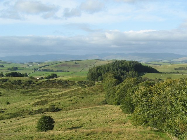
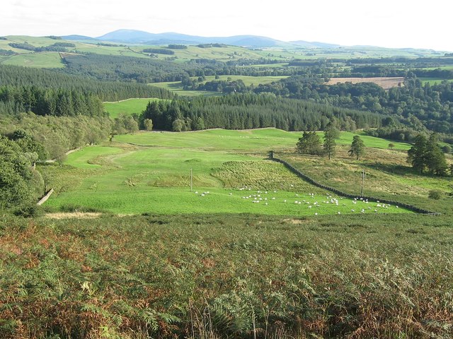
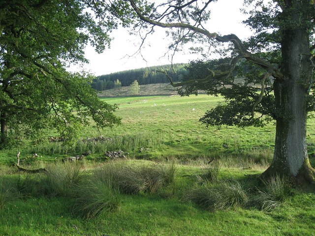
Killyleoch Hill is a prominent natural landmark located in Dumfriesshire, Scotland. It is part of the Southern Uplands, a range of rolling hills and mountains in the southern part of the country. Rising to an elevation of 364 meters (1,194 feet), Killyleoch Hill offers stunning panoramic views of the surrounding countryside.
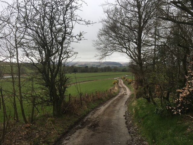
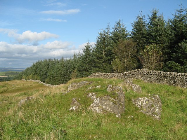
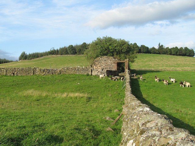
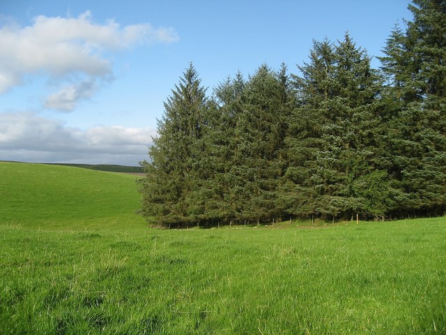
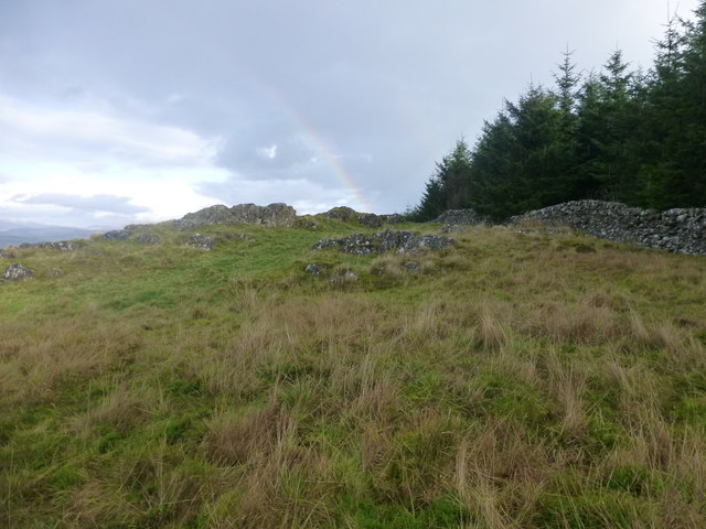
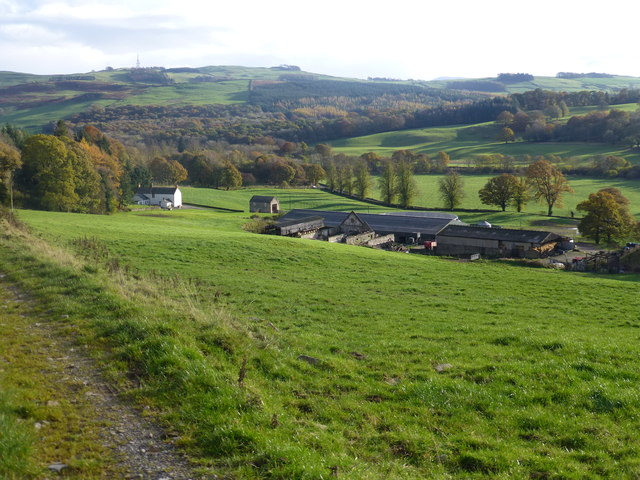
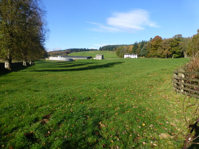
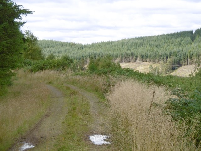
The hill is characterized by its gentle slopes, covered with a mix of grasses, heather, and patches of woodland. Its relatively low height makes it accessible to hikers of various fitness levels, and there are several well-defined paths that lead to the summit. The main trail starts from the village of Moffat and winds its way up the hill, passing through picturesque landscapes and offering glimpses of diverse flora and fauna.
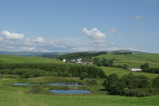
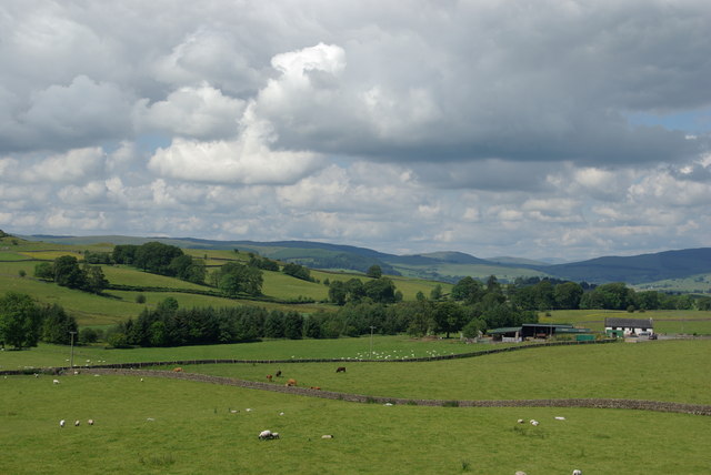
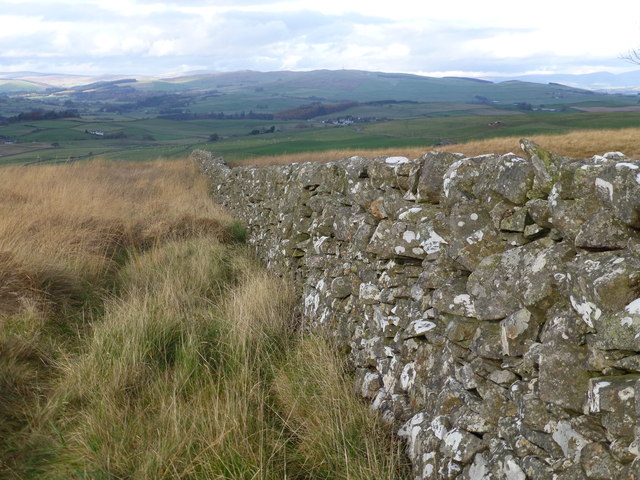
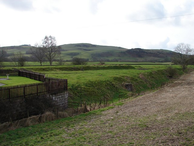
At the top of Killyleoch Hill, visitors are rewarded with breathtaking vistas of the Dumfriesshire countryside, including the Moffat Hills, the Annandale Valley, and the picturesque town of Moffat itself. On clear days, it is even possible to see as far as the Solway Firth and the distant hills of the Lake District in England.
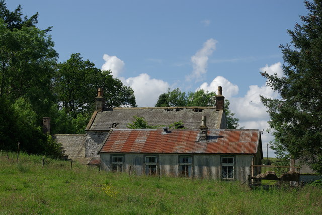
Killyleoch Hill holds historical significance as well. The remains of an Iron Age hillfort can be found on its southern slopes, indicating that the area has been inhabited since ancient times. This adds an extra layer of interest for those interested in archaeology and ancient civilizations.
Overall, Killyleoch Hill offers a delightful outdoor experience, combining natural beauty, historical intrigue, and breathtaking views into a single destination. Whether it is for a leisurely stroll or a more challenging hike, this hill is a must-visit for nature enthusiasts and history buffs alike.
If you have any feedback on the listing, please let us know in the comments section below.
Killyleoch Hill Images
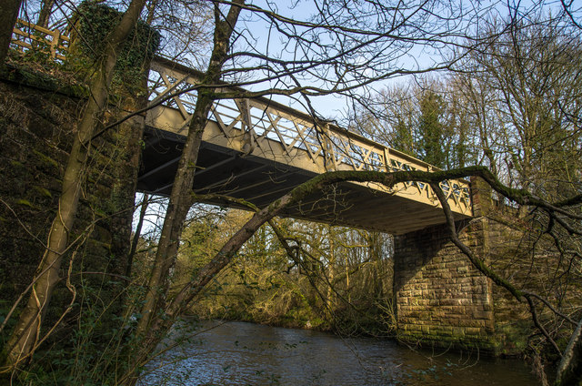
Images are sourced within 2km of 55.119937/-3.7597387 or Grid Reference NX8782. Thanks to Geograph Open Source API. All images are credited.
Killyleoch Hill is located at Grid Ref: NX8782 (Lat: 55.119937, Lng: -3.7597387)
Unitary Authority: Dumfries and Galloway
Police Authority: Dumfries and Galloway
What 3 Words
///afraid.cavalier.runways. Near Dumfries, Dumfries & Galloway
Nearby Locations
Related Wikis

Stepford railway station
Stepford (NX864815) was one of the minor request stop stations on the Cairn Valley Light Railway branch from Dumfries. It served a very rural area in...
Newtonairds railway station
Newtonairds (NX877801) was one of the principal stations on the now closed Cairn Valley Light Railway branch from Dumfries. It served a very rural area...

Nithsdale
Nithsdale (Srath Nid in Scottish Gaelic), also known as Strathnith, Stranith or Stranit, is the strath or dale of the River Nith in southern Scotland....

Dunscore
Dunscore (['dʌnskər] / 'DUN-skur', less commonly ['dunskɔ:r] / 'DUN-score') is a small village which lies 9 miles (14 km) northwest of Dumfries on the...

Dunscore railway station
Dunscore (NX858840) was one of the four principal stations on the Cairn Valley Light Railway (CVR) branch, from Dumfries. It served the rural area of...
Hallhill Covenanter Martyrs Memorial
The Hallhill Covenanter Martyrs Memorial at Irongray (NX 910797) near Kirkpatrick Irongray Church in the old county of Kirkcudbrightshire, now Dumfries...
Irongray railway station
Irongray was one of the principal stations on the Cairn Valley Light Railway branch, from Dumfries. It served a rural area in Dumfries and Galloway The...
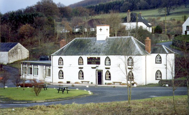
Auldgirth
Auldgirth is a village on the A76 road in Dumfries and Galloway, Scotland. Auldgirth village features 'The Auldgirth Inn' and the former Auldgirth Primary...
Nearby Amenities
Located within 500m of 55.119937,-3.7597387Have you been to Killyleoch Hill?
Leave your review of Killyleoch Hill below (or comments, questions and feedback).