Castle Hill

Hill, Mountain in Lanarkshire

Scotland

Castle Hill

Waterfall on the River Clyde Just south of New Lanark
Waterfall on the River Clyde Credit: Graham Hogg

Castle Hill is a prominent hill located in the region of Lanarkshire, Scotland. Rising to an impressive height of 275 meters (902 feet), it is known for its historical significance and stunning natural beauty. Situated near the town of Carluke, Castle Hill offers panoramic views of the surrounding countryside, making it a popular destination for locals and tourists alike.

The hill derives its name from the remains of an ancient hillfort that once stood atop its summit. Believed to have been constructed during the Iron Age, this hillfort played a crucial role in the defense and communication network of the region. Today, the remnants of the hillfort, including earthworks and ditches, can still be observed, providing a glimpse into the area's rich historical past.

Apart from its historical significance, Castle Hill is also a haven for nature enthusiasts. The hill is covered in lush vegetation, including heather, grasses, and a variety of wildflowers, attracting a diverse range of wildlife. Birdwatchers, in particular, can spot numerous species of birds, including kestrels, buzzards, and even the occasional peregrine falcon soaring above the hill.

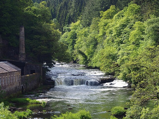
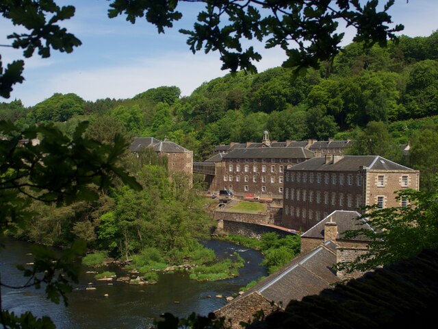
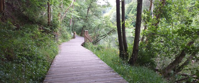
Visitors to Castle Hill can enjoy a leisurely hike to the summit, following well-marked trails that offer both gentle and more challenging routes. The breathtaking views from the top reward those who make the ascent, with sweeping vistas of Lanarkshire's rolling hills, picturesque villages, and the meandering Clyde River.

All in all, Castle Hill in Lanarkshire is a captivating destination that seamlessly combines historical intrigue with natural beauty, providing a memorable experience for anyone who ventures to its summit.

If you have any feedback on the listing, please let us know in the comments section below.
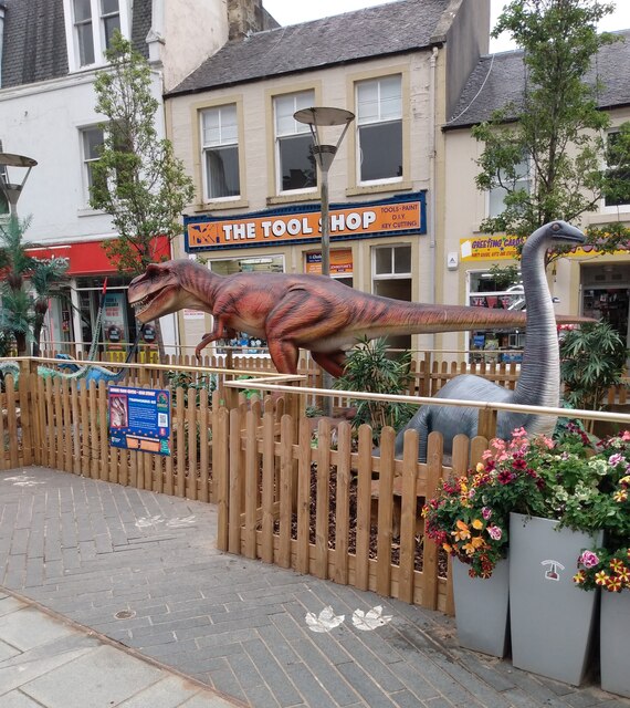
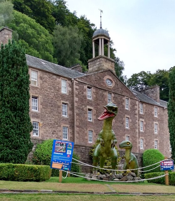
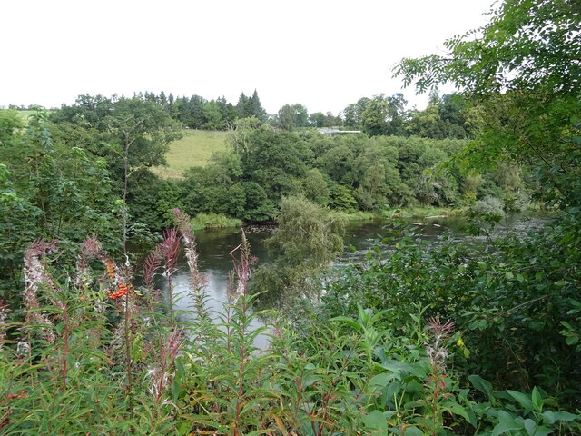
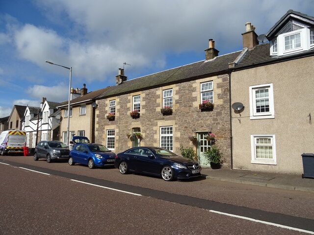
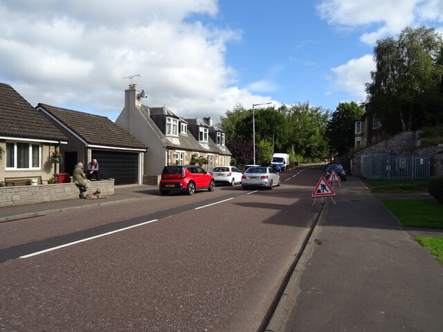
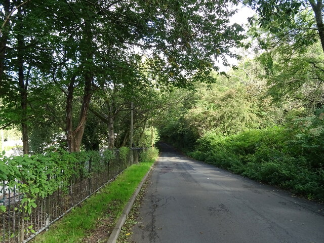
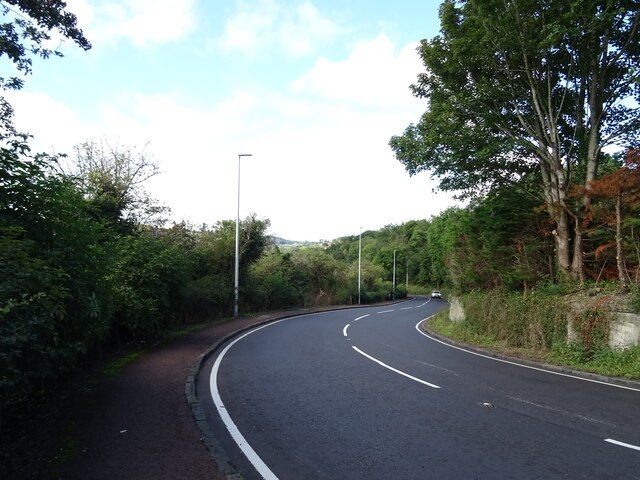
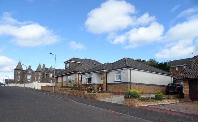
Castle Hill Images

Images are sourced within 2km of 55.670294/-3.7835397 or Grid Reference NS8743. Thanks to Geograph Open Source API. All images are credited.

Waterfall on the River Clyde Just south of New Lanark
Waterfall on the River Clyde
Just south of New Lanark
New Lanark Beside the River Clyde, viewed here from the south
New Lanark
Beside the River Clyde, viewed here from the south
Water pipelines to Bonnington Power Station The pipes bring water from above the Falls of Clyde to the hydro-electric power station.
Water pipelines to Bonnington Power Station
The pipes bring water from above the Falls of Clyde to the hydro-electric power station.
Boardwalk at the Clyde Walkway Lower riverside boardwalk at the Clyde Walkway outside New Lanark.
Boardwalk at the Clyde Walkway
Lower riverside boardwalk at the Clyde Walkway outside New Lanark.
Swinging on to Bannantyne Street This HGV taking a wide course from St Leonard Street
Swinging on to Bannantyne Street
This HGV taking a wide course from St Leonard Street
Looking down High Street With St Nicholas Church at bottom
Looking down High Street
With St Nicholas Church at bottom
Jurassic Lanark Exhibit beside The Tolbooth, Lanark
Jurassic Lanark
Exhibit beside The Tolbooth, Lanark
Jurassic New Lanark A trail taking in both New Lanark as well as Lanark
Jurassic New Lanark
A trail taking in both New Lanark as well as Lanark
River Clyde, Kirkfieldbank
Cottages on Riverside Road, Kirkfieldbank
Roadworks on Riverside Road (A72), Kirkfieldbank Towards Lanark.
Roadworks on Riverside Road (A72), Kirkfieldbank
Towards Lanark.
Mousemill Road Towards Crossford.
Mousemill Road
Towards Crossford.
Hillside grazing, Kirkfieldbank Brae
Kirkfieldbank Brae (A72) Sharply downhill towards the River Clyde.
Kirkfieldbank Brae (A72)
Sharply downhill towards the River Clyde.
A72 approaching junction with the A73, Lanark
Bungalows on Lockhart Drive, Lanark
Lockhart Drive, Lanark Looking towards the former William Smellie Memorial Hospital.
Lockhart Drive, Lanark
Looking towards the former William Smellie Memorial Hospital.
Service station on  Westport (A73), Lanark
Service station on Westport (A73), Lanark
Show me another place!

Castle Hill is located at Grid Ref: NS8743 (Lat: 55.670294, Lng: -3.7835397)

Unitary Authority: South Lanarkshire

Police Authority: Lanarkshire

What 3 Words

///rewriting.budgeted.fails. Near Lanark, South Lanarkshire

Nearby Locations

Braxfield Park Castle Hill

Related Wikis

Broomgate drill hall, Lanark

The Broomgate drill hall is a former military installation in Lanark, Scotland. == History == The property comprises two houses, one built in the 17th...

St Nicholas Parish Church, Lanark

St Nicholas Parish Church is a category B listed building and Church of Scotland place of worship in the town centre of Lanark, South Lanarkshire, Scotland...

Lanark (UK Parliament constituency)

Lanark was a county constituency of the House of Commons of the Parliament of the United Kingdom (Westminster) from 1918 to 1983. It elected one Member...

Lanark Burghs (UK Parliament constituency)

Lanark Burghs (also known as Linlithgow Burghs) was a district of burghs constituency of the House of Commons of the Parliament of the United Kingdom...

Lanark Tolbooth

Lanark Tolbooth is a municipal building in Hope Street, Lanark, South Lanarkshire, Scotland. The building, which now operates as an arts and heritage centre...

Lindsay Institute

The Lindsay Institute is a Category B listed building in Lanark, Scotland, which was opened by Sheriff Scott Moncrieff on 25 June 1914 with a free reading...

Lanark Sheriff Court

Lanark Sheriff Court is a judicial building in Hope Street, Lanark, South Lanarkshire, Scotland. The building, which continues to serve as the local courthouse...

Lanark

Lanark ( LAN-ərk; Scottish Gaelic: Lannraig [ˈl̪ˠaun̪ˠɾɪkʲ]; Scots: Lanrik) is a town in South Lanarkshire, Scotland, located 20 kilometres to the south...

Nearby Amenities

Located within 500m of 55.670294,-3.7835397
Post Box
Post Box Type: wall
Postal Code: ML11
Ref: ML11 5
Royal Cypher: GR
Royal Cypher Wikidata: Q33102273
Lat/Long: 55.6719701/-3.7765251
Pub
Clydesdale Inn
Wikidata: Q17851911
Lat/Long: 55.6736783/-3.7813474
Bus Stop
St Patricks Lane
Bus: yes
Naptan AtcoCode: 61501187
Naptan Bearing: NW
Naptan CommonName: St Patricks Lane
Naptan Indicator: At St Patricks Lane
Naptan Landmark: St Patricks Lane
Naptan NaptanCode: 75234262
Naptan Street: West Port
Naptan Verified: no
Public Transport: platform
Source: naptan_import
Lat/Long: 55.6744611/-3.78422
Bus Stop
St Patricks Lane
Bus: yes
Naptan AtcoCode: 61501188
Naptan Bearing: SE
Naptan CommonName: St Patricks Lane
Naptan Indicator: Opp
Naptan Landmark: St Patricks Lane
Naptan NaptanCode: 75232753
Naptan Street: West Port
Naptan Verified: no
Public Transport: platform
Source: naptan_import
Lat/Long: 55.674336/-3.7835621
Bus Stop
North Vennel
Bus: yes
Naptan AtcoCode: 61501189
Naptan Bearing: S
Naptan CommonName: North Vennel
Naptan Indicator: At North Vennel
Naptan Landmark: North Vennel
Naptan NaptanCode: 75235398
Naptan Street: Hope Street
Naptan Verified: no
Public Transport: platform
Source: naptan_import
Lat/Long: 55.6745808/-3.7815536
Bus Stop
Hunters Close
Bus: yes
Naptan AtcoCode: 61501193
Naptan Bearing: E
Naptan CommonName: Hunters Close
Naptan Indicator: At Hunters Close
Naptan Landmark: Hunters Close
Naptan NaptanCode: 75236245
Naptan Street: High Street
Naptan Verified: no
Public Transport: platform
Source: naptan_import
Lat/Long: 55.673654/-3.7785376
Bus Stop
Wellgate
Bus: yes
Naptan AtcoCode: 61501194
Naptan Bearing: W
Naptan CommonName: Wellgate
Naptan Indicator: before Wellgate
Naptan Landmark: Wellgate
Naptan NaptanCode: 75234324
Naptan Street: High Street
Naptan Verified: no
Public Transport: platform
Source: naptan_import
Lat/Long: 55.6734794/-3.7788
Barrier: bollard
Lat/Long: 55.6739346/-3.7804048
Castlebank
Place: locality
Lat/Long: 55.6713691/-3.7868735
Braxfield Farm
Place: hamlet
Lat/Long: 55.6687464/-3.787433
Site of Lanark Castle
Historic: castle
Wikidata: Q6482906
Wikipedia: en:Lanark Castle
Lat/Long: 55.6708296/-3.7837841
Delves Park House
Tourism: guest_house
Lat/Long: 55.6716975/-3.779393
Gullie Tudlem
Place: locality
Source: OS_OpenData_StreetView
Lat/Long: 55.6695653/-3.7884638
Post Box
Collection Times: Mo-Fr 17:30; Sa 11:00
Operator: Royal Mail
Operator Wikidata: Q638098
Ref: ML11 2
Lat/Long: 55.6733789/-3.7801265
Castle Hill
Natural: peak
Lat/Long: 55.670086/-3.7838582
William Wallace
Artist Name: Robert Forrest
Artwork Type: statue
Historic: memorial
Memorial: statue
Start Date: 1882
Subject Wikidata: Q82457
Subject Wikipedia: en:William Wallace
Tourism: artwork
Lat/Long: 55.6735583/-3.7801968
Place Of Worship
New Life Christian Fellowship
Addr Housenumber: 19a
Addr Postcode: ML11 7LU
Addr Street: High Street
Denomination: evangelical
Religion: christian
Lat/Long: 55.6737908/-3.7796099
First Aid Kit
Emergency: first_aid_kit
Indoor: yes
Operator: Police Scotland
Ref: Public Access Defibrillator
Lat/Long: 55.6741439/-3.7839198
Public Access Defibrillator
Defibrillator
Emergency: defibrillator
Indoor: yes
Operator: Police Scotland
Lat/Long: 55.6740651/-3.783834
Crossing
Crossing: traffic_signals
Lat/Long: 55.6741653/-3.783256
Place Of Worship
Lanark EU Congregational Church
Religion: christian
Wikidata: Q56643387
Lat/Long: 55.6743403/-3.7842855
Crossing
Crossing: traffic_signals
Tactile Paving: yes
Lat/Long: 55.6736008/-3.7784582
Crossing
Crossing: traffic_signals
Tactile Paving: yes
Lat/Long: 55.6735388/-3.7783459
Library
Lanark Library
Wikidata: Q62765345
Lat/Long: 55.6743381/-3.7814334
Entrance: yes
Lat/Long: 55.6740603/-3.7838814
Power: pole
Lat/Long: 55.6709713/-3.7804577
Power: pole
Lat/Long: 55.6702949/-3.7805782
Power: pole
Lat/Long: 55.6695684/-3.7806882
Power: pole
Lat/Long: 55.6692523/-3.7807517
Power: pole
Lat/Long: 55.6690184/-3.7802271
Power: pole
Lat/Long: 55.6685615/-3.7792477
Power: pole
Lat/Long: 55.6681165/-3.7782471
Power: pole
Lat/Long: 55.6676692/-3.777272
Bench
Lat/Long: 55.6720958/-3.7773724
Glenmuir
Shop: sports
Sport: golf
Lat/Long: 55.6714344/-3.7791857
Bench
Backrest: yes
Lat/Long: 55.6720747/-3.7882857
The data included in this document is from www.openstreetmap.org. The data is made available under ODbL.

Have you been to Castle Hill?

Leave your review of Castle Hill below (or comments, questions and feedback).