Carn a' Chiaraidh
Hill, Mountain in Perthshire
Scotland
Carn a' Chiaraidh

The requested URL returned error: 429 Too Many Requests
If you have any feedback on the listing, please let us know in the comments section below.
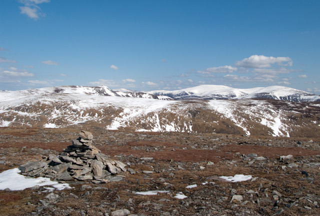
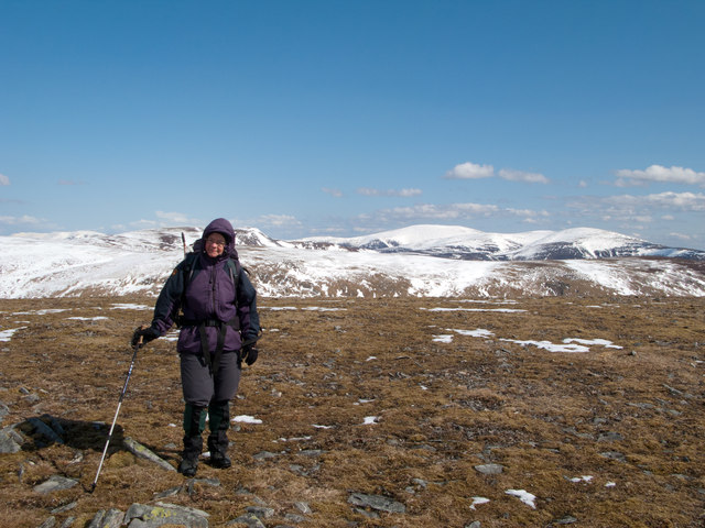
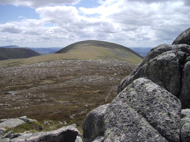
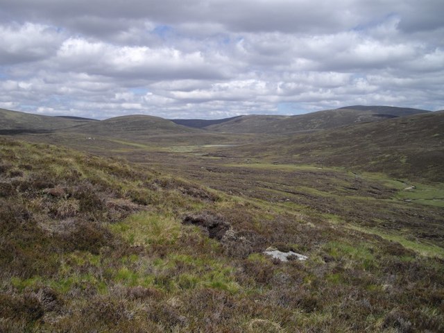
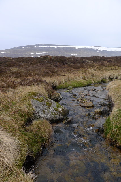
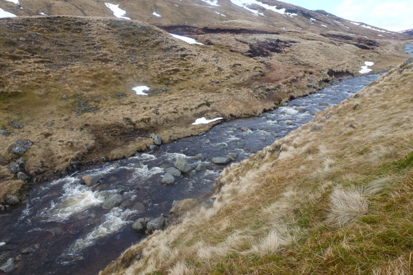
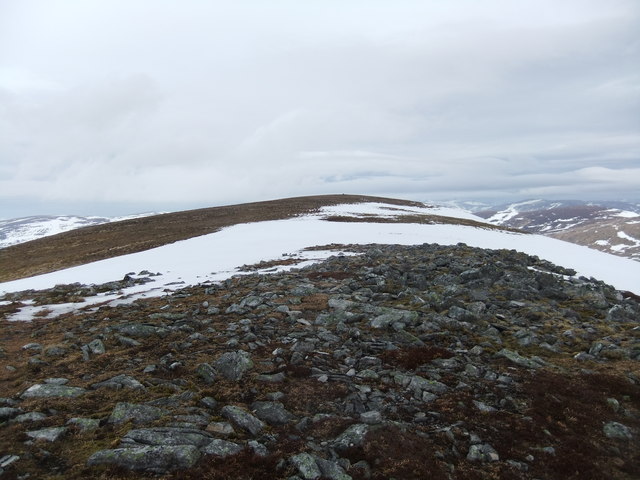
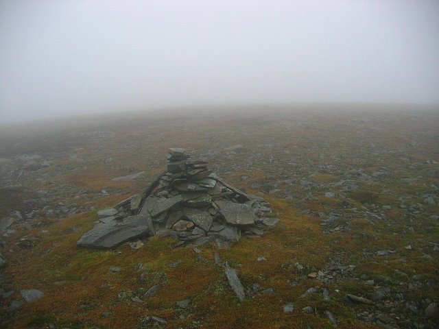
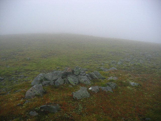
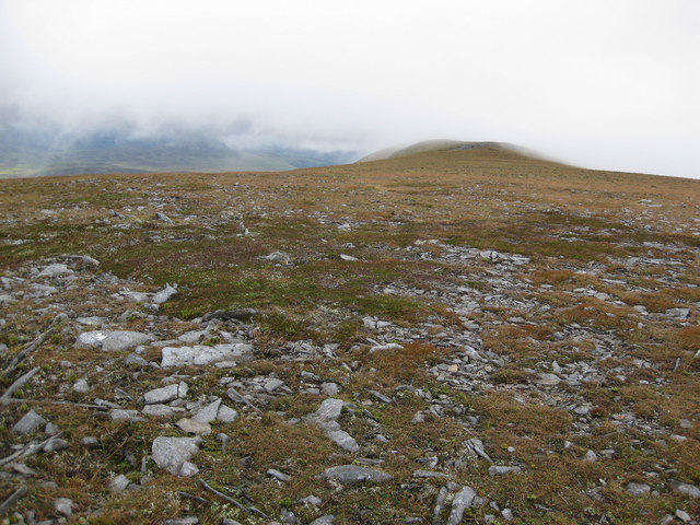
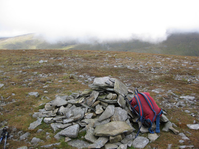
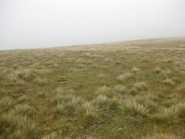
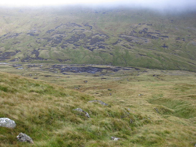
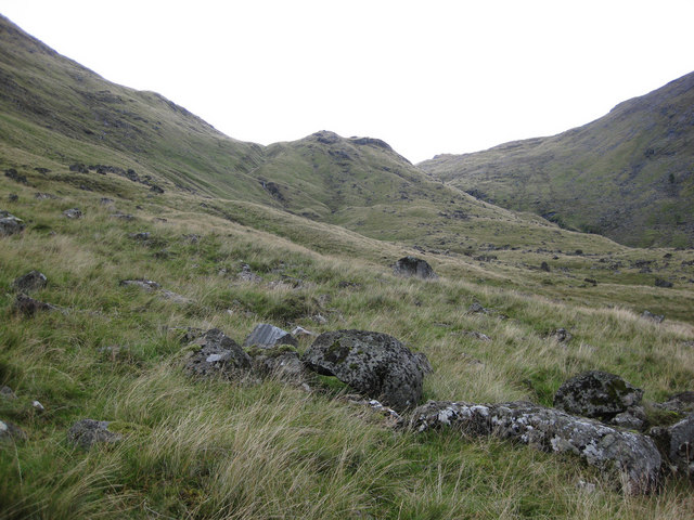
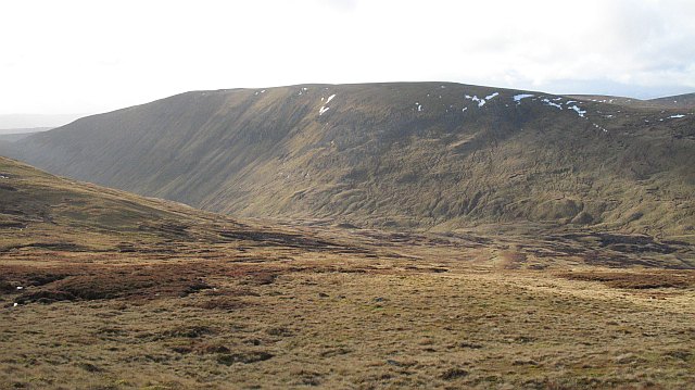
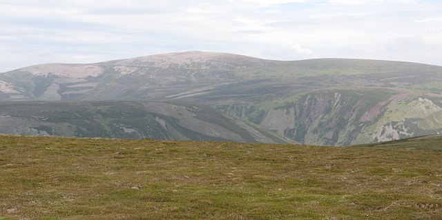
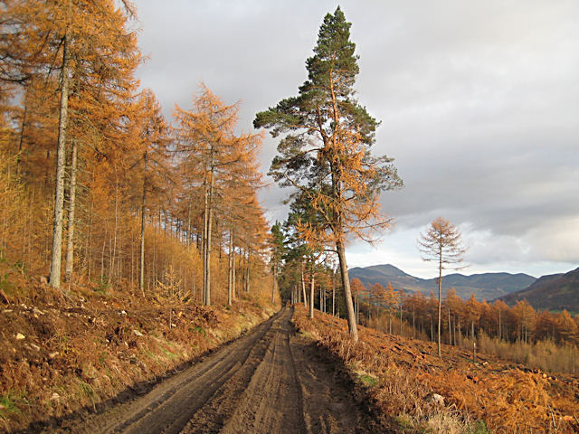
Carn a' Chiaraidh Images
Images are sourced within 2km of 56.874155/-3.8414466 or Grid Reference NN8777. Thanks to Geograph Open Source API. All images are credited.


Carn a' Chiaraidh is located at Grid Ref: NN8777 (Lat: 56.874155, Lng: -3.8414466)
Unitary Authority: Perth and Kinross
Police Authority: Tayside
What 3 Words
///diverting.archive.compound. Near Blair Atholl, Perth & Kinross
Nearby Locations
Related Wikis
Beinn Dearg (Blair Atholl)
Beinn Dearg (1,009 m) is a mountain in the Grampian Mountains of Scotland. It lies north of the Perth and Kinross village of Blair Atholl, in the Forest...

Carn a' Chlamain
Càrn a' Chlamain (Gaelic: Càrn a' Chlamhain) is a Scottish mountain situated roughly 12 kilometres north of Blair Atholl in the Forest of Atholl. It is...

Glen Tilt
Glen Tilt (Scottish Gaelic: Gleann Teilt) is a glen in the extreme north of Perthshire, Scotland. Beginning at the confines of Aberdeenshire, it follows...
Forest of Atholl
The Forest of Atholl (also known as Atholl Forest) is a deer forest near the Scottish village of Blair Atholl, Perth and Kinross, first recorded in the...
Have you been to Carn a' Chiaraidh?
Leave your review of Carn a' Chiaraidh below (or comments, questions and feedback).