Holystone
Settlement in Northumberland
England
Holystone

Holystone is a small village located in Northumberland, England. Situated within the Northumberland National Park, it is surrounded by stunning natural beauty and offers a tranquil escape from the bustling city life. The village is situated approximately 10 miles northwest of Rothbury.
Holystone is known for its picturesque setting, with rolling hills, dense forests, and the nearby Simonside Hills providing breathtaking views. The village itself is characterized by charming stone cottages, giving it a quaint and traditional feel. It is home to a small population, with a close-knit community atmosphere.
One of the main attractions in Holystone is Holystone Lodge, a former hunting lodge that has been converted into a hotel. The lodge provides accommodation for visitors looking to immerse themselves in the peaceful surroundings and enjoy activities such as hiking, birdwatching, and cycling.
The village is also home to the historic St. Mary’s Church, which dates back to the 12th century. The church boasts impressive architecture and houses ancient artifacts and stained glass windows.
For those interested in history, Holystone offers access to the Roman Wall, with several forts and archaeological sites within close proximity. Visitors can explore the remains of these ancient structures and learn about the area's rich Roman heritage.
Overall, Holystone is a hidden gem in Northumberland, offering a peaceful retreat in a picturesque setting, perfect for nature lovers and history enthusiasts alike.
If you have any feedback on the listing, please let us know in the comments section below.
Holystone Images
Images are sourced within 2km of 55.028213/-1.524401 or Grid Reference NZ3070. Thanks to Geograph Open Source API. All images are credited.


Holystone is located at Grid Ref: NZ3070 (Lat: 55.028213, Lng: -1.524401)
Unitary Authority: North Tyneside
Police Authority: Northumbria
What 3 Words
///snapper.inspected.zoomed. Near Shiremoor, Tyne & Wear
Nearby Locations
Related Wikis

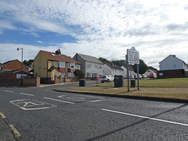
Holystone, Tyne and Wear
Holystone is a village in North Tyneside, Tyne and Wear, England. It is situated to the southwest of Whitley Bay, just off the A19. There is one school...

West Allotment
West Allotment is a village in the Metropolitan Borough of North Tyneside. Prior to 1974 it was part of Northumberland. It is located approximately 4 miles...
Northumberland Park, Tyne and Wear
Northumberland Park is a place in the Metropolitan Borough of North Tyneside. Although built as an individual settlement along the A19 corridor, it is...

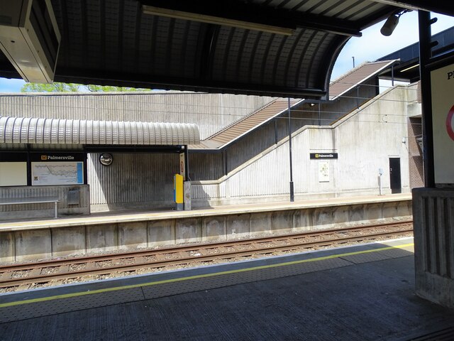
Northumberland Park Metro station
Northumberland Park is a Tyne and Wear Metro and future National Rail station, serving the village of Backworth and suburbs of Northumberland Park and...
Nearby Amenities
Located within 500m of 55.028213,-1.524401Have you been to Holystone?
Leave your review of Holystone below (or comments, questions and feedback).